Youngman Stream Track
WalkCanterburyOpen
- Grade
- Advanced
- Walking time
- 5 hr
- Dogs
- No dogs
Access: read before you go
From Oxford, follow Ashley Gorge Road for 6 km. Turn into Lees Valley Road and follow this for 29 km to a sign and locked gate that indicates the track. It is foot access only from this point. Follow this marked track for 3.5 km to a locked gate, keep to the marked track as this is private farmland.
Source: DOC Te Papa Atawhai.
Getting there
We have not checked a road end or car park for this place yet, so we do not give driving directions to it. Check how to get there before you go. Some routes cross private land and need the landowner's permission.
How to get there, on doc.govt.nzFrom Oxford, follow Ashley Gorge Road for 6 km. Turn into Lees Valley Road and follow this for 29 km to a sign and locked gate that indicates the track. It is foot access only from this point. Follow this marked track for 3.5 km to a locked gate, keep to the marked track as this is private farmland.
Source: DOC Te Papa Atawhai.
Map
Map data © OpenStreetMap contributors. Topo map: LINZ, CC BY 4.0. 43.07628° S, 172.17286° E
About this place
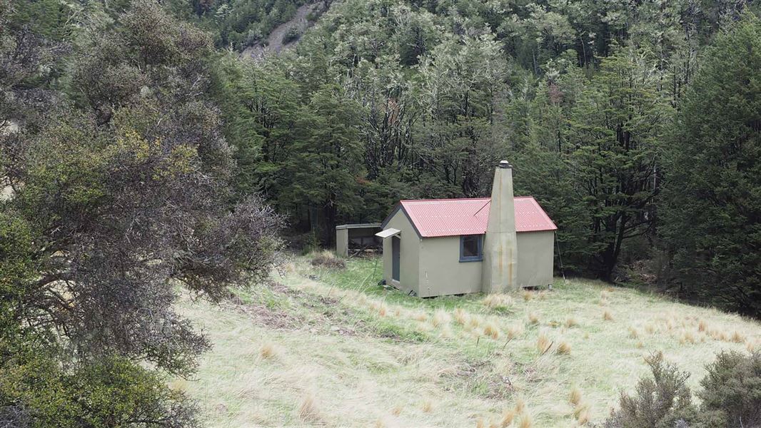
Follows Ashley River to Youngman Stream Hut.
The route
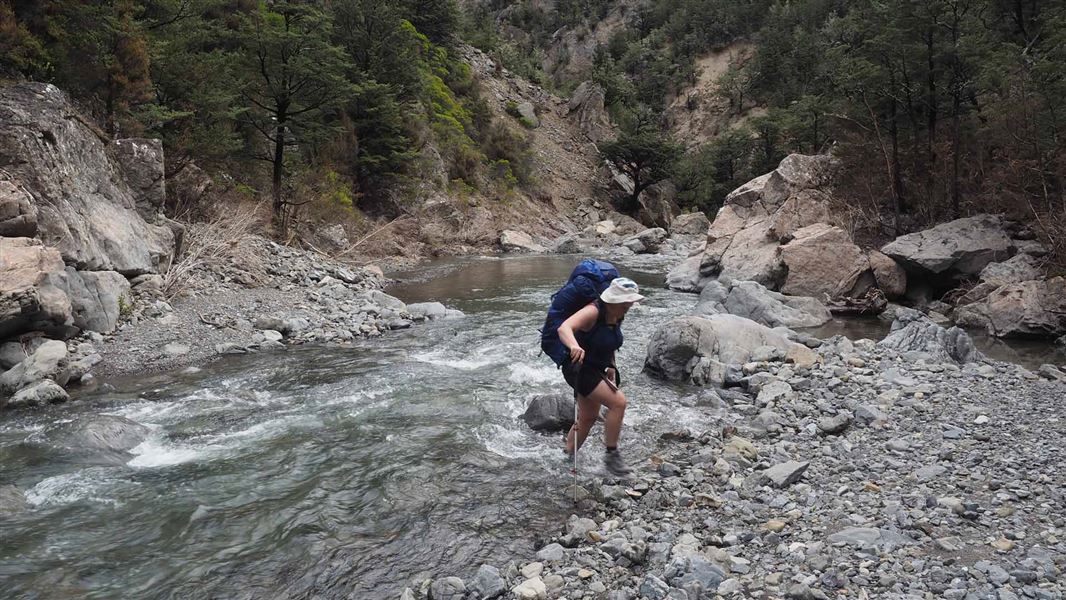
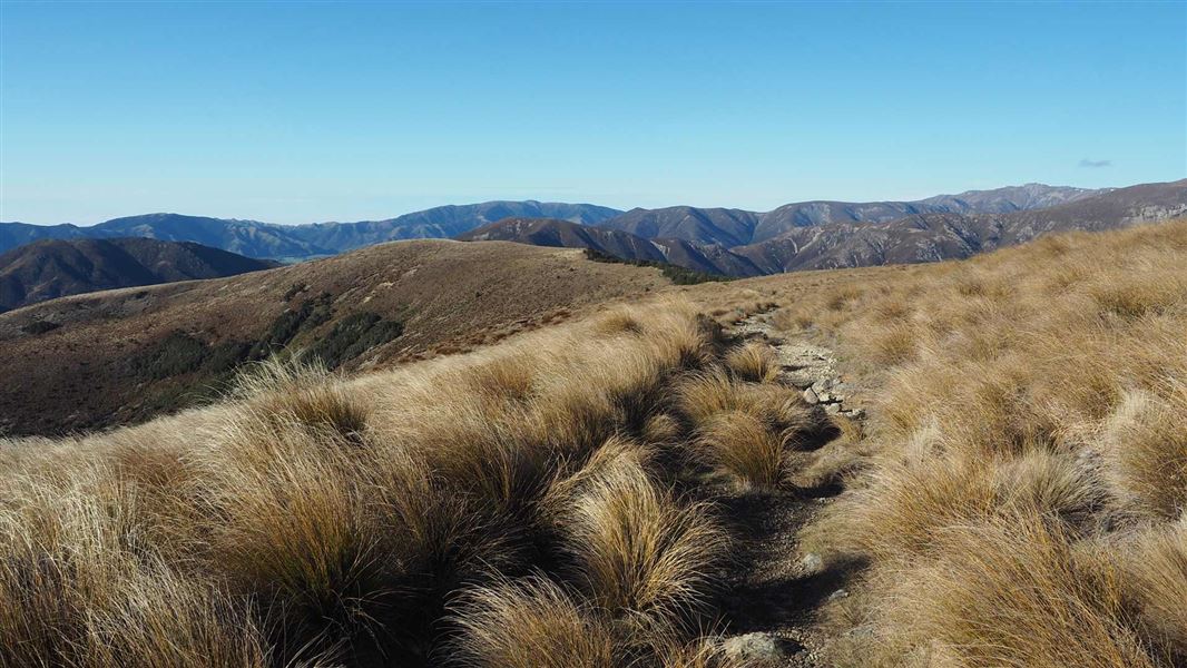
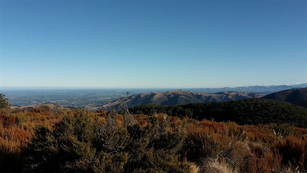
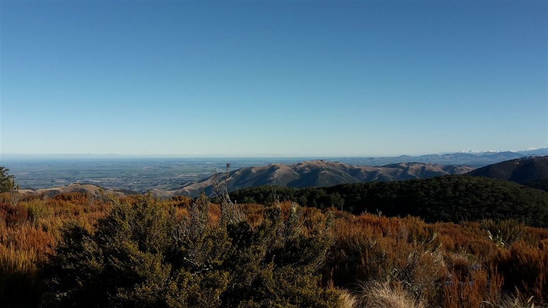
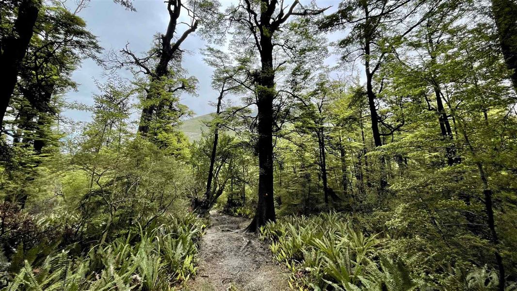
For about an hour follow a 4WD track through pasture land, crossing the Lillburn River until the cattle yards and marked route to Tent Gully. Approximately 1 km after Tent Gully, the track leaves the beech forest becoming a marked route, sidling high through tussock, scrub and patches of beech before re-entering the forest and descending to ford the Ashley River about 100 metres from Youngman Stream Hut. If river levels are low, it's possible to follow Ashely River from Tent Gully to Youngman Stream. This track connects with Tarn Hut tracks . The Tarn Hut tracks are closed between 1 August and 30 September, and the entire month of April.
Source: DOC Te Papa Atawhai.
Know before you go
Caution around cattle
Access to the Youngman Stream Track from Lees Valley Road is through a working cattle station. By accessing this track you are acknowledging that you are entering a working station at your own risk. There will be general hazards related to farming and dangerous cattle may be present. Do not disturb stock and proceed with caution. Email themuster@grasslands-llc.com for further information.
Source: DOC Te Papa Atawhai.
On this track
In walking order.
Nearby stops
Lilburne Hut
Canterbury • 2.2 km
Tarn Hut
Basic/bivvies • 4 bunks • Canterbury • 4.6 km
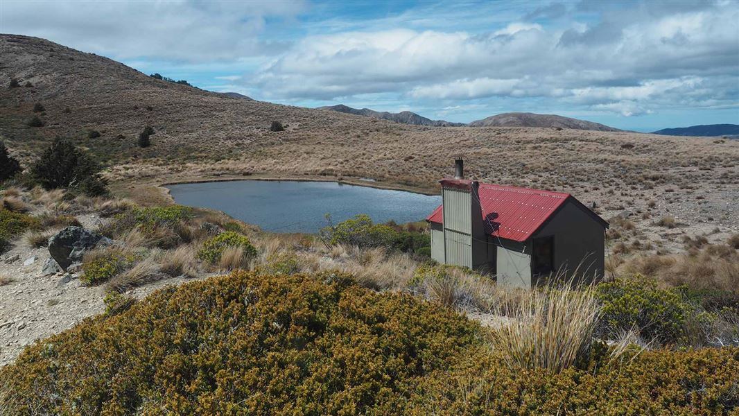
Tarn Hut is a basic four-bunk hut in the North Canterbury and Arthur's Pass area. It is sited next to a small tarn in open alpine grassland.
Heating • Mattresses • Toilets - non-flush
Cains Camp
Canterbury • 11.7 km
Cains Camp is a hut located in the Canterbury region. The provided records contain no further details about its facilities or specific location.

Bob's Camp Bivvy
Basic/bivvies • 2 bunks • Canterbury • 12.1 km
Bob's Camp Bivvy is a basic two-bunk hut located in the North Canterbury and Arthur's Pass area.
Mattresses • Toilets - non-flush • Water from stream

Pinchgut Hut
Standard • 7 bunks • Canterbury • 14.6 km
Pinchgut Hut is a standard seven-bunk hut located in the North Canterbury and Arthur's Pass area of Canterbury.
Heating • Mattresses • Toilets - non-flush
Walks nearby
Notes from people who have been
No notes yet. If you have been, say what you found.
Something missing or out of date?
Closed, moved, wrong facts, or something we have missed? Travellers keep the Road Guide up to date. Tell us what you found at contribute@parkup.nz and we will check it and add it.
Ask us to take this down
A person reads every request. We do not remove a place until we have checked it.
Sources
- DOC Tracks (API) · CC BY 4.0Crown Copyright: Department of Conservation Te Papa Atawhai. Data sourced from the DOC Developer Portal (api.doc.govt.nz).
- DOC Tracks & Trails · CC BY 4.0Data sourced from the Department of Conservation (DOC), New Zealand.