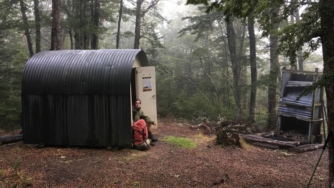
Bob's Camp Bivvy
Basic/bivvies hutMount Thomas Forest Conservation Area, CanterburyOpen
Current advisories
Treefall in Mount Thomas Conservation Area
27 September 2026
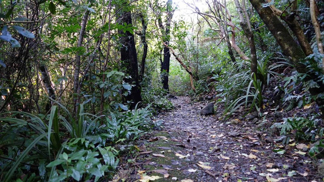
Recent storms have caused significant treefall on tracks - such as from the top of Wooded Gulley Track/Summit Track heading towards Bob's Camp Bivvy, and down through the top half of Ridge Track. Some of the orange direction markers have been affected and may be pointing in the wrong direction. Extreme caution is required - not suitable for inexperienced walkers. First published on 28 September 2026.
Source: DOC Te Papa Atawhai alerts.
- Sleeps
- 2 bunks
- Booking
- Not bookable
- Cost
- Free
- Heating
- None
- Drinking water
- Not drinkable
- Toilet
- Non-flush
Getting there
We have not checked a road end or car park for this place yet, so we do not give driving directions to it. Check how to get there before you go. Some routes cross private land and need the landowner's permission.
How to get there, on doc.govt.nz- Topo map
- Topo50 sheet BW23
Source: DOC Te Papa Atawhai.
Map and tracks
Track lines: DOC Te Papa Atawhai. Map data © OpenStreetMap contributors. Topo map: LINZ, CC BY 4.0. 43.14217° S, 172.29152° E
About this place
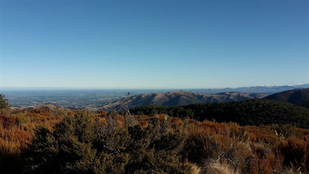
This is a basic two-bunk hut in the North Canterbury and Arthur's Pass area.
Fees and bookings
Free
Source: DOC Te Papa Atawhai.
Nearby stops

Pinchgut Hut
Standard • 7 bunks • Canterbury • 4 km
Pinchgut Hut is a standard seven-bunk hut located in the North Canterbury and Arthur's Pass area of Canterbury.
Heating • Mattresses • Toilets - non-flush

Wooded Gully Campsite
Standard • Canterbury • 6.7 km
Wooded Gully Campsite is a campsite in Canterbury situated beside a stream. It lies below the tracks leading to Mt Thomas.
Non-powered/tent sites • Water from tap - not treated, boil before use • Wheelchair accessible with assistance
Lilburne Hut
Canterbury • 14 km
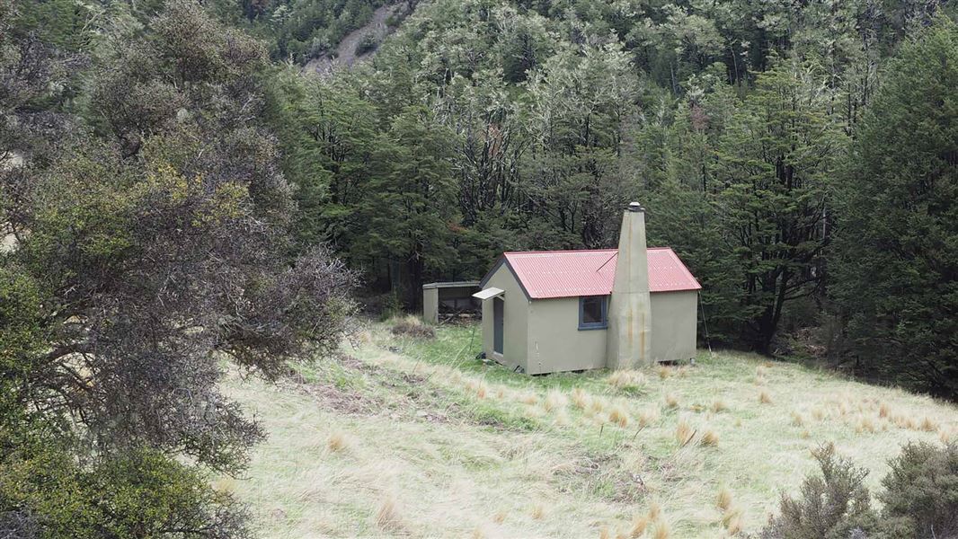
Youngman Stream Hut
Standard • 6 bunks • Canterbury • 15.7 km
Youngman Stream Hut is a standard six-bunk hut located in the North Canterbury and Arthur's Pass area.
Heating • Mattresses • Toilets - non-flush
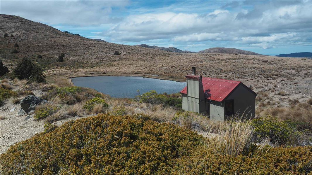
Tarn Hut
Basic/bivvies • 4 bunks • Canterbury • 16.3 km
Tarn Hut is a basic four-bunk hut in the North Canterbury and Arthur's Pass area. It is sited next to a small tarn in open alpine grassland.
Heating • Mattresses • Toilets - non-flush
Walks nearby
Contact
Arthur's Pass National Park Visitor Centre
104 West Coast Road, Arthur's Pass 7654
Regional DOC service centre.
Notes from people who have been
No notes yet. If you have been, say what you found.
Something missing or out of date?
Closed, moved, wrong facts, or something we have missed? Travellers keep the Road Guide up to date. Tell us what you found at contribute@parkup.nz and we will check it and add it.
Ask us to take this down
A person reads every request. We do not remove a place until we have checked it.
Sources
- OpenStreetMap Huts · ODbL (Open Database License)Contains information from OpenStreetMap, made available under the ODbL.
- DOC Huts (API) · CC BY 4.0Crown Copyright: Department of Conservation Te Papa Atawhai. Data sourced from the DOC Developer Portal (api.doc.govt.nz).
- DOC Huts · CC BY 4.0Data sourced from the Department of Conservation (DOC), New Zealand.