Youngman Stream Hut
Standard hutPuketeraki Forest Conservation Area, CanterburyOpen
Current advisories
Fallen trees on Youngman Stream Track
03 August 2026
Youngman Stream Track is overgrown and has a lot of fallen trees, which makes progress slow and difficult. Allow extra time if travelling this route. First published on 7 May 2026. Last reviewed on 4 August 2026.
Source: DOC Te Papa Atawhai alerts.
- Sleeps
- 6 bunks
- Booking
- Not bookable
- Cost
- from $15
- Heating
- Yes
- Drinking water
- Not drinkable
- Toilet
- Non-flush
Getting there
We have not checked a road end or car park for this place yet, so we do not give driving directions to it. Check how to get there before you go. Some routes cross private land and need the landowner's permission.
How to get there, on doc.govt.nzFrom Oxford, follow Ashley Gorge Road for 6 km. Turn into Lees Valley Road and follow this for 29 km to a sign and locked gate that indicates the track. It is foot access only from this point. Follow this marked track for 3.5 km to a locked gate, keep to the marked track as this is private farmland.
- Topo map
- Topo50 sheet BV22
Source: DOC Te Papa Atawhai.
Map and tracks
Track lines: DOC Te Papa Atawhai. Map data © OpenStreetMap contributors. Topo map: LINZ, CC BY 4.0. 43.02534° S, 172.18294° E
About this place
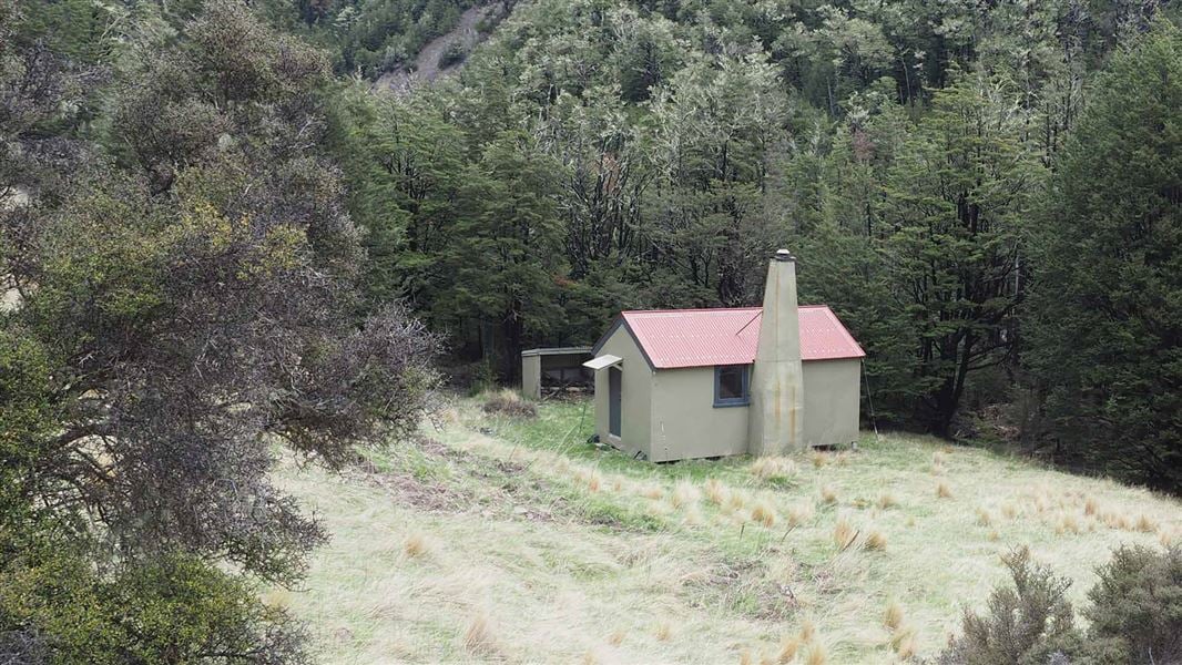
This is a standard six-bunk hut in the North Canterbury and Arthur's Pass area.
On the way here
Tarn Hut tracks · 2 days
Lees Valley Road to Youngman Stream Hut
Time: 4–5 hr
Follow the Youngman Stream Track to Youngman Stream Hut.
Youngman Stream Hut to Tarn Hut
Time: 2 hr 30 min
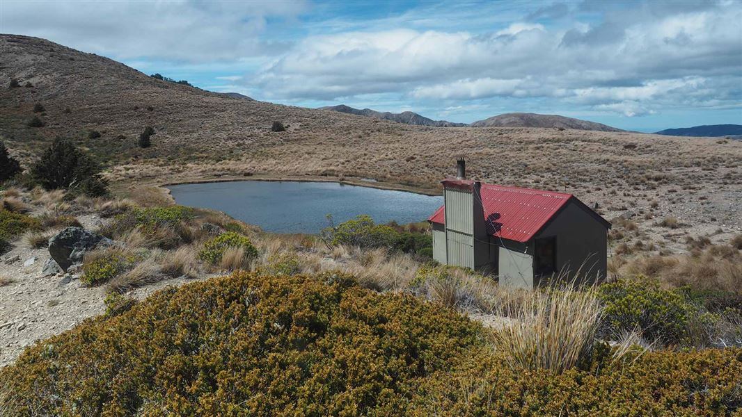
From Youngman Stream Hut, cross the Ashley River and follow the track as it climbs a ridge to the summit of Lilburne Hill. There are spectacular 360-degree views from Lilburne Hill over the foothill forests to Christchurch and the Port Hills beyond. Tarn Hut is a further 20 minutes along the spur south-west of Lilburne Hill. It is sited next to a small picturesque tarn in open alpine grassland.
Lees Valley Road to Tarn Hut via Lilburne Route
Time: 4 hr 30 min
Lilburne Route provides an alternate access to Lilburne Hill summit and Tarn Hut. The route turn-off is signposted from Youngman Stream Hut Track approximately 2 hours 30 minutes from the start of the track at the locked gate. The unforgiving route climbs very steeply up a ridge to the summit of Lilburne Hill for 1 hour 30 minutes. Tarn Hut is a further 20 minutes on from the summit.
Youngman Stream Track · 4-5 hr one way
Approximately 1 km after Tent Gully, the track leaves the beech forest becoming a marked route, sidling high through tussock, scrub and patches of beech before re-entering the forest and descending to ford the Ashley River about 100 metres from Youngman Stream Hut.
Source: DOC Te Papa Atawhai.
Trip options
Walking times come from DOC track descriptions, added up leg by leg from car-accessible trailheads. Nights and return times are ParkUp estimates, allowing about 8 hours of walking a day.
2 options · 1 night
Lees Valley Road
Walking in
5 hr
Walking out
5 hr to Lees Valley Road
Walking in
5 hr
Walking out
7 hr to Tarn Hut via Lilburne Route
Source: DOC Te Papa Atawhai track descriptions.
Fees and bookings
Before you go, buy Hut Tickets for each night's stay. Put these in the honesty box at the hut. Or buy a Backcountry Hut Pass that gives unlimited use at most Standard and Serviced huts for a 12 month period. Retailers that sell hut tickets and passes
Source: DOC Te Papa Atawhai.
On these tracks
Source: DOC Te Papa Atawhai.
Nearby stops
Tarn Hut
Basic/bivvies • 4 bunks • Canterbury • 3.1 km
Tarn Hut is a basic four-bunk hut in the North Canterbury and Arthur's Pass area. It is sited next to a small tarn in open alpine grassland.
Heating • Mattresses • Toilets - non-flush
Adelaide Tarn Hut
Basic/bivvies • 4 bunks • Tasman • 233.5 km
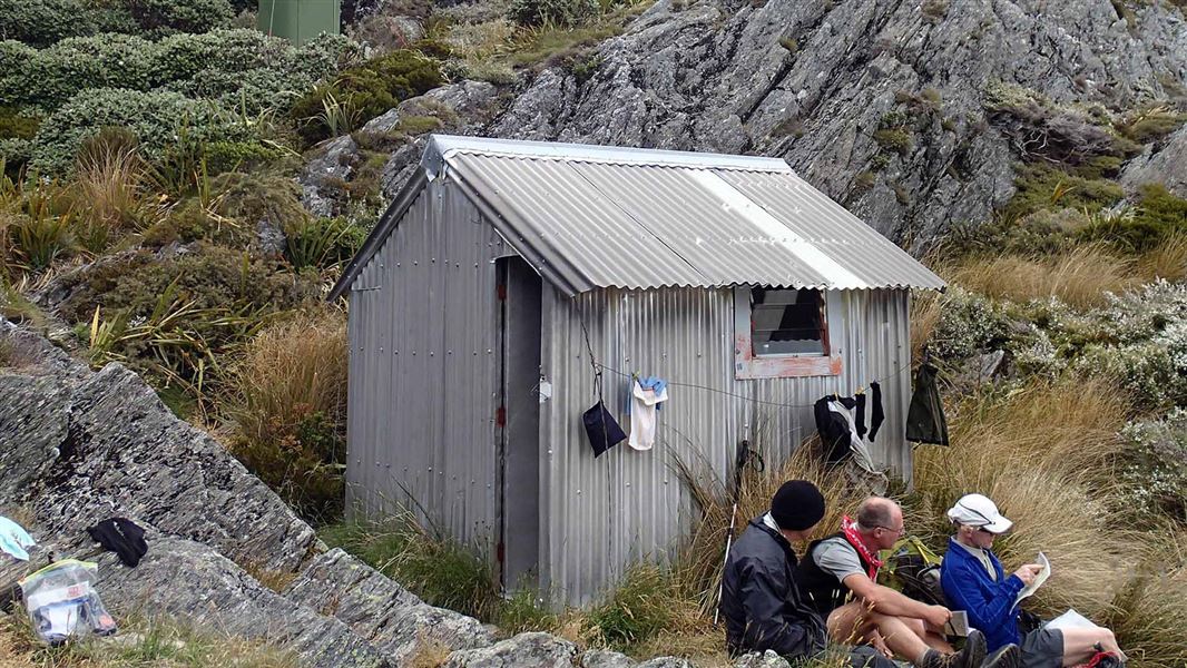
Adelaide Tarn Hut is a basic four-bunk hut located in the Golden Bay area of the Tasman region.
Toilets - non-flush • Water from stream • Water supply
Lilburne Hut
Canterbury • 6.3 km
Cattle Creek Hut
Canterbury • 9.7 km
Cattle Creek Hut is a backcountry hut located in the Canterbury region of New Zealand. The provided data does not include specific details regarding its…
Cains Camp
Canterbury • 10.9 km
Cains Camp is a hut located in the Canterbury region. The provided records contain no further details about its facilities or specific location.
Contact
Arthur's Pass National Park Visitor Centre
104 West Coast Road, Arthur's Pass 7654
Regional DOC service centre.
Notes from people who have been
No notes yet. If you have been, say what you found.
Something missing or out of date?
Closed, moved, wrong facts, or something we have missed? Travellers keep the Road Guide up to date. Tell us what you found at contribute@parkup.nz and we will check it and add it.
Ask us to take this down
A person reads every request. We do not remove a place until we have checked it.
Sources
- OpenStreetMap Huts · ODbL (Open Database License)Contains information from OpenStreetMap, made available under the ODbL.
- DOC Huts (API) · CC BY 4.0Crown Copyright: Department of Conservation Te Papa Atawhai. Data sourced from the DOC Developer Portal (api.doc.govt.nz).
- DOC Huts · CC BY 4.0Data sourced from the Department of Conservation (DOC), New Zealand.