Top Kokatahi Hut
Basic/bivvies hutKokatahi River - Whitcombe River area, West CoastOpen
- Sleeps
- 4 bunks
- Booking
- Not bookable
- Cost
- Free
- Heating
- Yes
- Drinking water
- Boil first
- Toilet
- Non-flush
Getting there
We have not checked a road end or car park for this place yet, so we do not give driving directions to it. Check how to get there before you go. Some routes cross private land and need the landowner's permission.
How to get there, on doc.govt.nz- Topo map
- Topo50 sheet BV19
- Grid reference
- E1452343, N5239476
Source: DOC Te Papa Atawhai.
Map and tracks
Track lines: DOC Te Papa Atawhai. Map data © OpenStreetMap contributors. Topo map: LINZ, CC BY 4.0. 42.98310° S, 171.18898° E
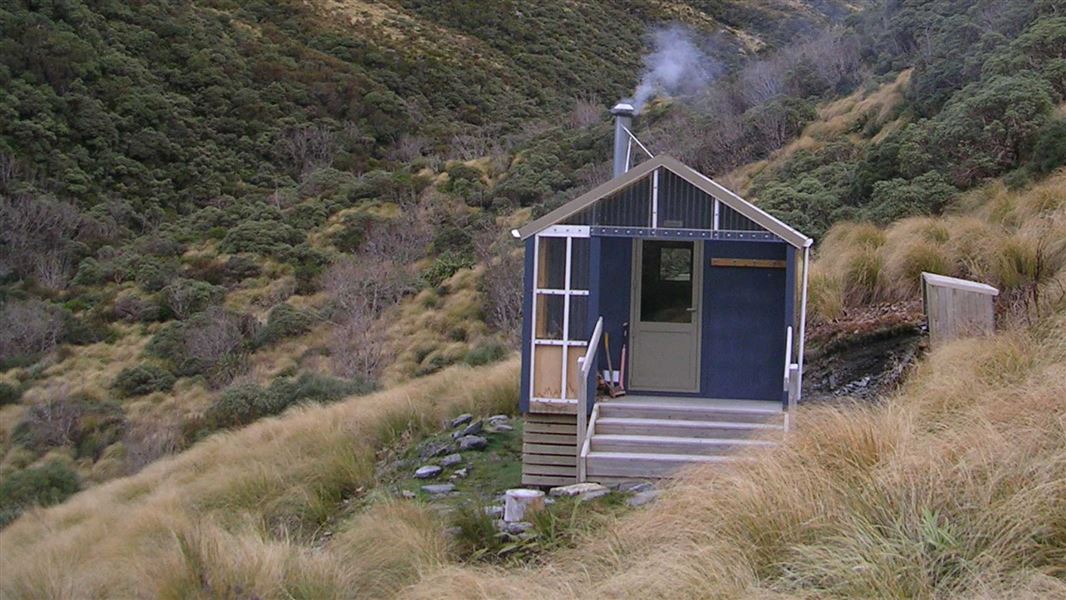
About this place
This is a basic four-bunk hut in the Hokitika area.
On the way here
Toaroha/Zit Saddle/Kokatahi/Lathrop Saddle/Styx River Route · 3-4 days
Adventure Ridge Bivouac to Top Kokatahi Hut
Time: 3 - 4 hr
From the bivouac follow the track through the tussock and alpine scrub. It climbs and sidles before dropping into, crossing and climbing out of, a deeply cut tributary of Zit Creek. Once in the open tussock the route is marked with poles (orange triangles mounted on thin fibreglass stakes) and climbs a spur (steeply in places) directly to the ridgeline of the Toaroha Range about 500 m north of Zit Saddle. The poles guide you directly over the ridgeline down to and across a tussock terrace before dropping steeply down a rocky gut to an un-named tributary of the Kokatahi River. The creek is followed until about 50 m above the confluence with the Kokatahi. Exit on the true right here and head upriver for 50 m to Kokatahi Hut. In misty conditions good route finding skills are required as the marker poles are difficult to see from one to the next.
Top Kokatahi Hut to Crawford Junction Hut
Time: 4 - 5 hr
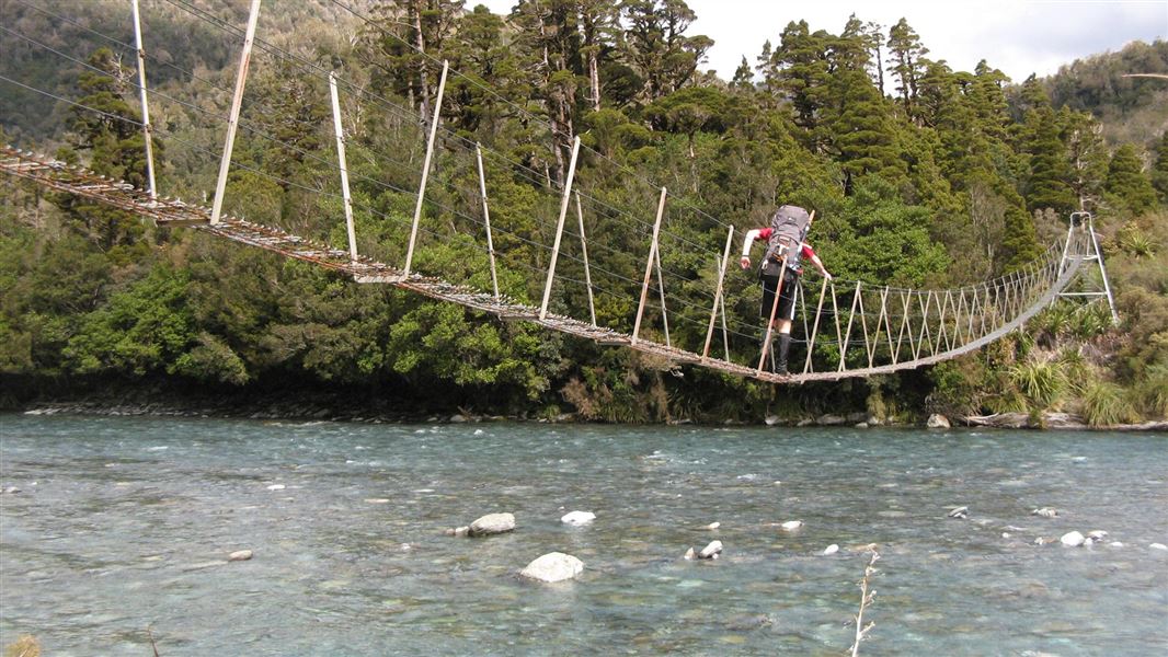
Note: This is a fine weather route only – even at normal flow it has a number of swift river crossings. From the hut travel to the confluence of the Kokatahi River and the unnamed stream from Zit Saddle. Cross the Kokatahi to pick up the cut track on the true right. The route alternates between sections of cut track and riverbed travel, crossing the Kokatahi three times before ending up on the true right above the Top Kokatahi swing bridge. After crossing the swing bridge the track remains on the true left until a cableway is reached. Cross this cableway to the true right and continue downstream along the river edge for 200-300 m then pick up the track through the forest and follow this to Crawford Junction Hut which is sited on a low terrace overlooking the Crawford/Kokatahi confluence. See guidance on using the cableway under 'Know before you go'.
Source: DOC Te Papa Atawhai.
Trip options
Walking times come from DOC track descriptions, added up leg by leg from car-accessible trailheads. Nights and return times are ParkUp estimates, allowing about 8 hours of walking a day.
2 options · 2 to 4 nights
Roadend
Walking in
12 hr (via Cedar Flat Hut)
Walking out
12 hr to Roadend (via Cedar Flat Hut)
Walking in
12 hr (via Cedar Flat Hut)
Walking out
16 hr 30 min to Grassy Flats Hut (via Crawford Junction Hut, Top Crawford Hut)
Source: DOC Te Papa Atawhai track descriptions.
Fees and bookings
Free
Source: DOC Te Papa Atawhai.
On these tracks
Source: DOC Te Papa Atawhai.
Nearby stops
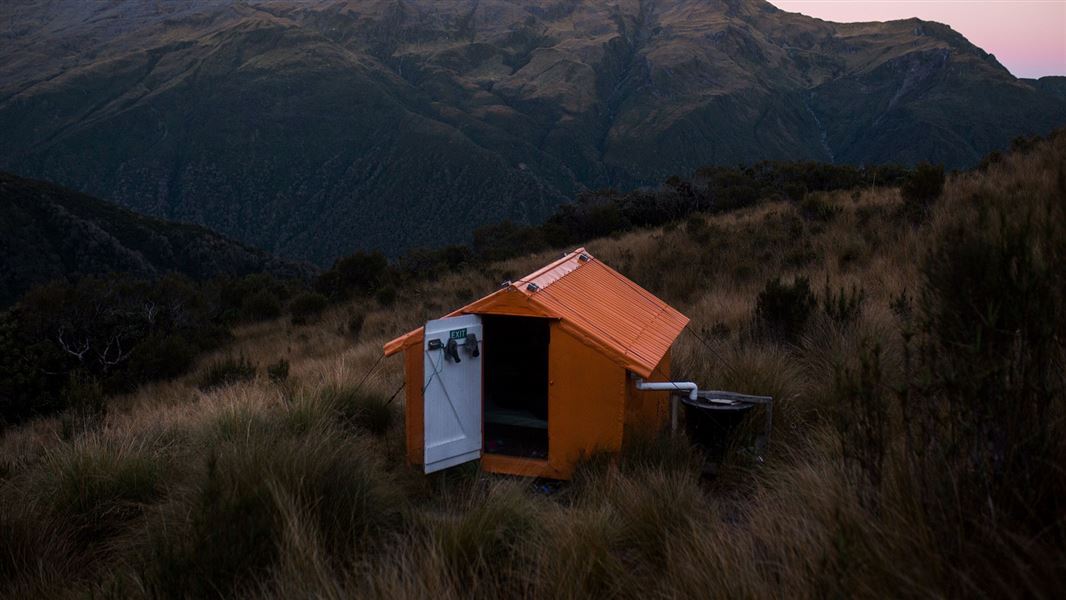
Adventure Bivvy
Basic/bivvies • 2 bunks • West Coast • 2.3 km
Adventure Bivvy is a basic two-bunk hut located in the Hokitika area on the West Coast.
Mattresses • Water from tap - not treated, boil before use • Water supply
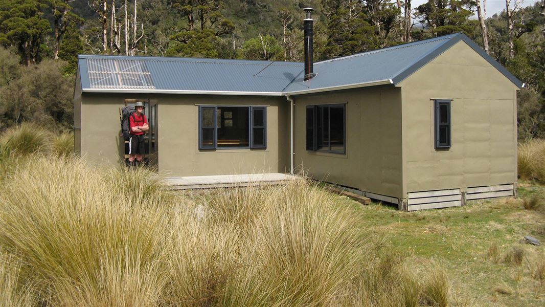
Cedar Flat Hut
Basic/bivvies • 2 bunks • West Coast • 4.3 km
Cedar Flat Hut is a standard twelve bunk hut located in the Hokitika area of the West Coast. It is situated near the Historic Cedar Flat Hut, a basic two bunk…
Mattresses • Toilets - non-flush • Water from tap - not treated, boil before use
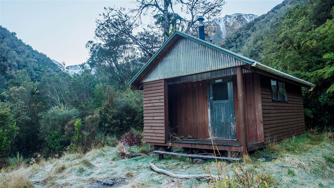
Crawford Junction Hut
Basic/bivvies • 6 bunks • West Coast • 4.4 km
Crawford Junction Hut is a basic six-bunk hut located in the Hokitika area of the West Coast. It offers simple accommodation for hikers in the region.
Heating • Mattresses • Toilets - non-flush
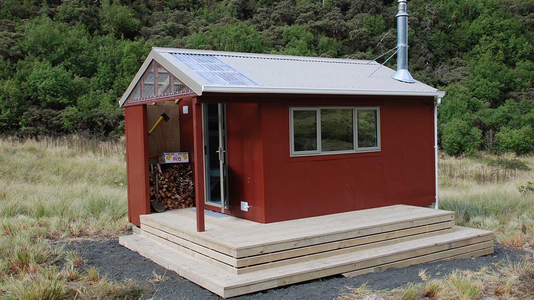
Top Crawford Hut
Basic/bivvies • 4 bunks • West Coast • 9 km
Top Crawford Hut is a basic four-bunk hut located in the Hokitika area of the West Coast.
Heating • Mattresses • Toilets - non-flush

Mid Styx Hut
Basic/bivvies • 4 bunks • West Coast • 10.7 km
Mid Styx Hut is a basic four-bunk hut located in the Hokitika area of the West Coast.
Heating • Mattresses • Water from stream
Walks nearby
Contact
Paparoa National Park Visitor Centre
4294 Coast Road, Punakaiki, RD 1 Runanga 7873
Regional DOC service centre.
Notes from people who have been
No notes yet. If you have been, say what you found.
Something missing or out of date?
Closed, moved, wrong facts, or something we have missed? Travellers keep the Road Guide up to date. Tell us what you found at contribute@parkup.nz and we will check it and add it.
Ask us to take this down
A person reads every request. We do not remove a place until we have checked it.
Sources
- DOC Huts · CC BY 4.0Data sourced from the Department of Conservation (DOC), New Zealand.
- DOC Huts (API) · CC BY 4.0Crown Copyright: Department of Conservation Te Papa Atawhai. Data sourced from the DOC Developer Portal (api.doc.govt.nz).
- OpenStreetMap Huts · ODbL (Open Database License)Contains information from OpenStreetMap, made available under the ODbL.