Te Puru Track
WalkWaikatoOpen
- Grade
- Intermediate
- Distance
- 5.6 km to track junction
- Route
- One way
- Dogs
- On a lead
Getting there
We have not checked a road end or car park for this place yet, so we do not give driving directions to it. Check how to get there before you go. Some routes cross private land and need the landowner's permission.
How to get there, on doc.govt.nzThe tracks starts from Te Puru Creek Rd, Te Puru.
Source: DOC Te Papa Atawhai.
Map
Map data © OpenStreetMap contributors. Topo map: LINZ, CC BY 4.0. 37.03785° S, 175.55399° E
Got a good photo of this place? Send it to us and we will show it with your name.
About this place
Te Puru Track joins with Tapu summit to Crosbies Hut Track to take you to Crosbies Hut.
The route
This track joins with Tapu summit to Crosbies Hut Track to reach Crosbies Hut. Distance to hut: 8.9 km Time to hut: 5 hr The track starts from Te Puru and rises steeply until it meets the top ridge. It is around one hour from the top of the ridge until Crosbies Hut. Te Puru Track has several stream crossings and can get quite muddy. Do not attempt after heavy rain.
Source: DOC Te Papa Atawhai.
On this track
In walking order.


Nearby stops
Te Puru Holiday Park
Waikato • 3.1 km
Te Puru Holiday Park is a campsite located in the Waikato region. No further details are available in the provided records.
Waiomu Domain and Reserves, Waiomu
Waikato • 3.6 km
Tapu Creek Campervan Park
Waikato • 6.8 km
Tapu Reserve - self contained only
Waikato • 7.3 km
Tapu Reserve is a campsite located in the Waikato region. The site is designated for self contained vehicles only.
Tapu Motor Camp
Waikato • 7.6 km
Walks nearby
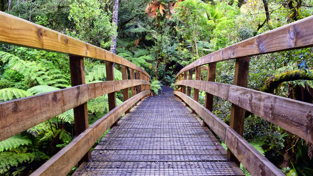
Waiomu Kauri Grove Walk
Easy • 2 hr 30 min return • 2.5 km • 1.82 km away
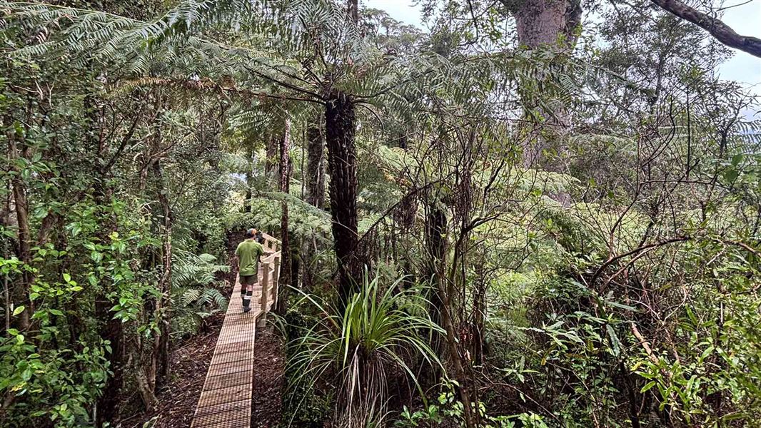
Booms Tramping Track
Advanced • 9 km to Crosbies Hut • 6.96 km away
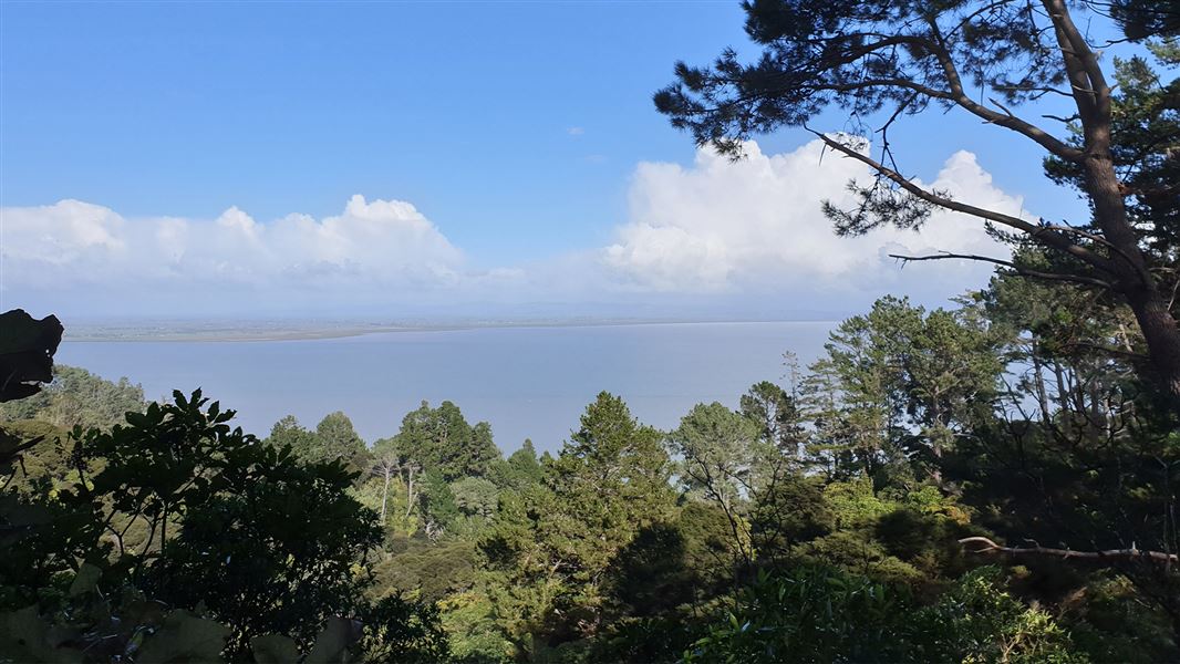
Rocky's to Waiotahi Track
Advanced • 1.5 hr to the junction • 3.3 km • 8.57 km away
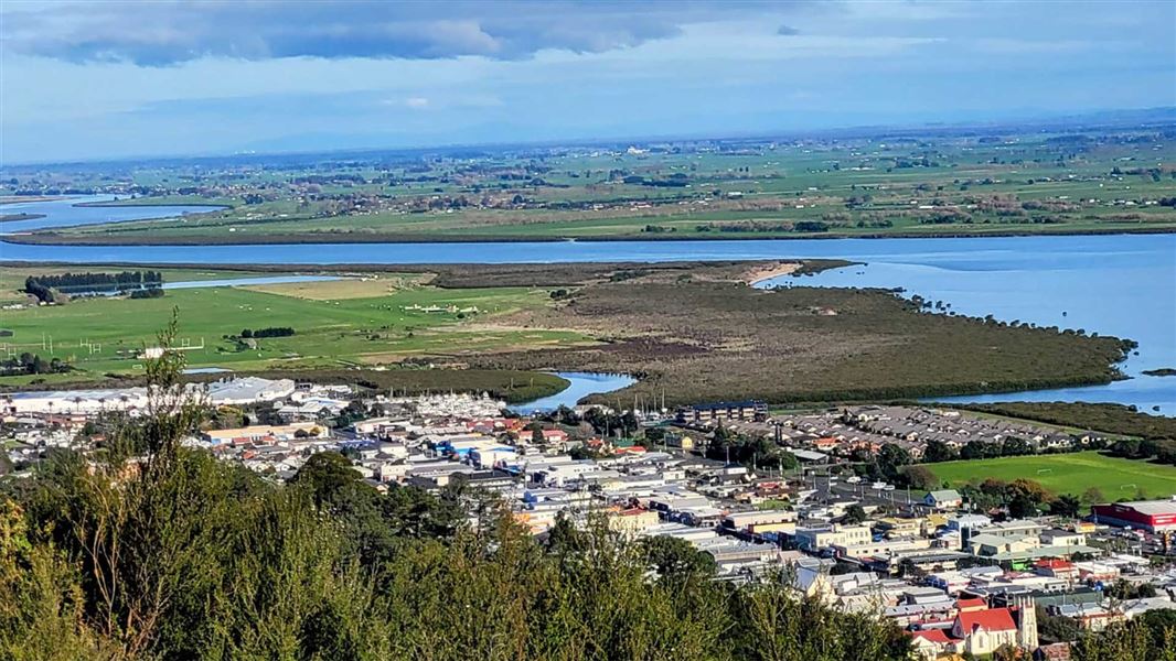
Moanataiari Link Track
Easy • 30 min • 1.5 km • 9.53 km away
Tarawaere Track
Advanced • 2-3 hr • 11.16 km away
Notes from people who have been
No notes yet. If you have been, say what you found.
Something missing or out of date?
Closed, moved, wrong facts, or something we have missed? Travellers keep the Road Guide up to date. Tell us what you found at contribute@parkup.nz and we will check it and add it.
Ask us to take this down
A person reads every request. We do not remove a place until we have checked it.
Sources
- DOC Tracks & Trails · CC BY 4.0Data sourced from the Department of Conservation (DOC), New Zealand.
- DOC Tracks (API) · CC BY 4.0Crown Copyright: Department of Conservation Te Papa Atawhai. Data sourced from the DOC Developer Portal (api.doc.govt.nz).