Tarnbrae Track A2O
WalkCanterbury
- Grade
- Advanced
- Walking time
- 5 hr
- Distance
- 16 km
- Biking time
- 3 hr one way
- Dogs
- No dogs
Getting there
We have not checked a road end or car park for this place yet, so we do not give driving directions to it. Check how to get there before you go. Some routes cross private land and need the landowner's permission.
How to get there, on doc.govt.nzPark at the car park area at the bottom of Ohau Snow Fields Road. You will need to arrange a pick-up at the other end on Quailburn Road.
Track category: Tramping trackTime: 45 minDistance: 2 km
This track provides a more direct route to Freehold Creek and Tarnbrae Track. It starts at Glen Mary Ski Club huts. It is also part of Te Araroa. Please park in the designated area near Lake Ohau Road, not by the huts. Toilets are here for public use.
Sawyers Creek access
Track category: Tramping track Time: 45 min Distance: 2 km This track provides a more direct route to Freehold Creek and Tarnbrae Track. It starts at Glen Mary Ski Club huts. It is also part of Te Araroa. Please park in the designated area near Lake Ohau Road, not by the huts. Toilets are here for public use.
Source: DOC Te Papa Atawhai.
Map
Map data © OpenStreetMap contributors. Topo map: LINZ, CC BY 4.0. 44.27036° S, 169.80780° E
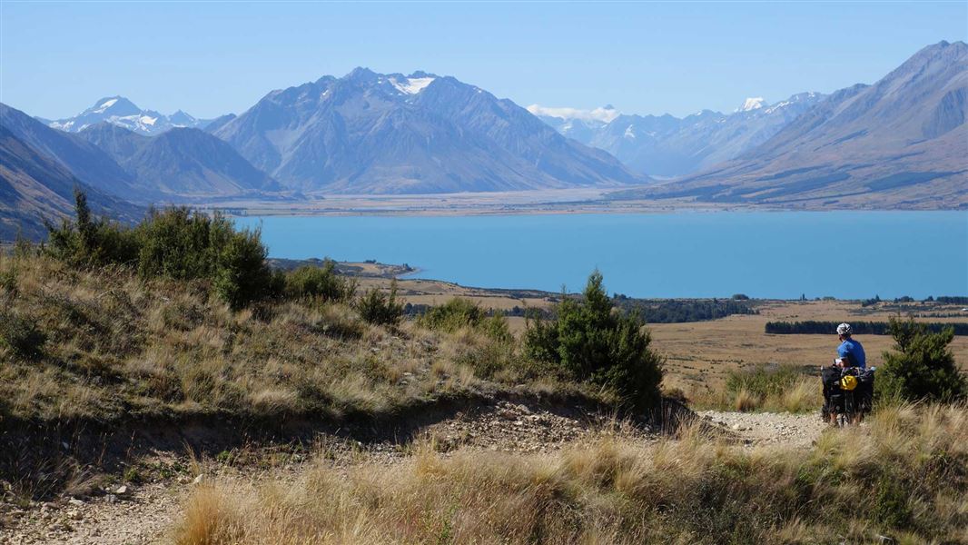
About this place
Traverse glacial terraces through Freehold Creek beech forest. Part of the Alps 2 Ocean (A2O) Cycle Trail, the high point on this track and offers fabulous views of Lake Ohau and the surrounding country.
The route
The track passes through patches of remant beech forest and open tussock country with scattered native scrub, as well as the Ohau Moraines Wetland Complex. It's worth the short detour to explore the Quailburn historic site near the finish in Quailburn Road.
Mountain biking
It's a gradual climb from Lake Ohau Road to the high point of the track at 900 m. From here it is a short descent to Quailburn Road and the Ohau Moraines Wetland Complex. The track is part of the Alps 2 Ocean Cycle Trail.
Source: DOC Te Papa Atawhai.
Nearby stops

Lake Middleton Campsite
Standard • Canterbury • 3.4 km
Lake Middleton Campsite is a campsite in Canterbury that serves as a base for walking or mountain biking. It provides access to the Lake Ōhau area and…
Boat launching • Dump station • Non-powered/tent sites
Greta Lodge
Canterbury • 6.2 km

Round Bush Campsite
Basic • Canterbury • 7 km
Round Bush Campsite is on Lake Ohau Road in Ruataniwha Conservation Park. It is free, has 20 non-powered and tent sites, and stays are limited to four nights.
Boat launching • Water from stream • Toilets - non-flush

Maitland Hut
Standard • 4 bunks • Canterbury • 7.9 km
Maitland Hut is a standard four-bunk hut located in Ruataniwha Conservation Park in Canterbury.
Heating • Mattresses • Toilets - non-flush

Snowy Gorge Hut
Basic/bivvies • 5 bunks • Canterbury • 8.9 km
Snowy Gorge Hut is a basic five-bunk hut located in the Mackenzie Country and Waitaki area of Canterbury.
Mattresses • Toilets - non-flush • Water from stream
Walks nearby
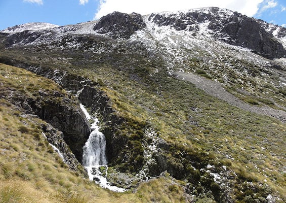
Sawyers and Parsons Creek to Freehold Creek Track
Advanced • 8 hrs one way • 12 km • 1.11 km away
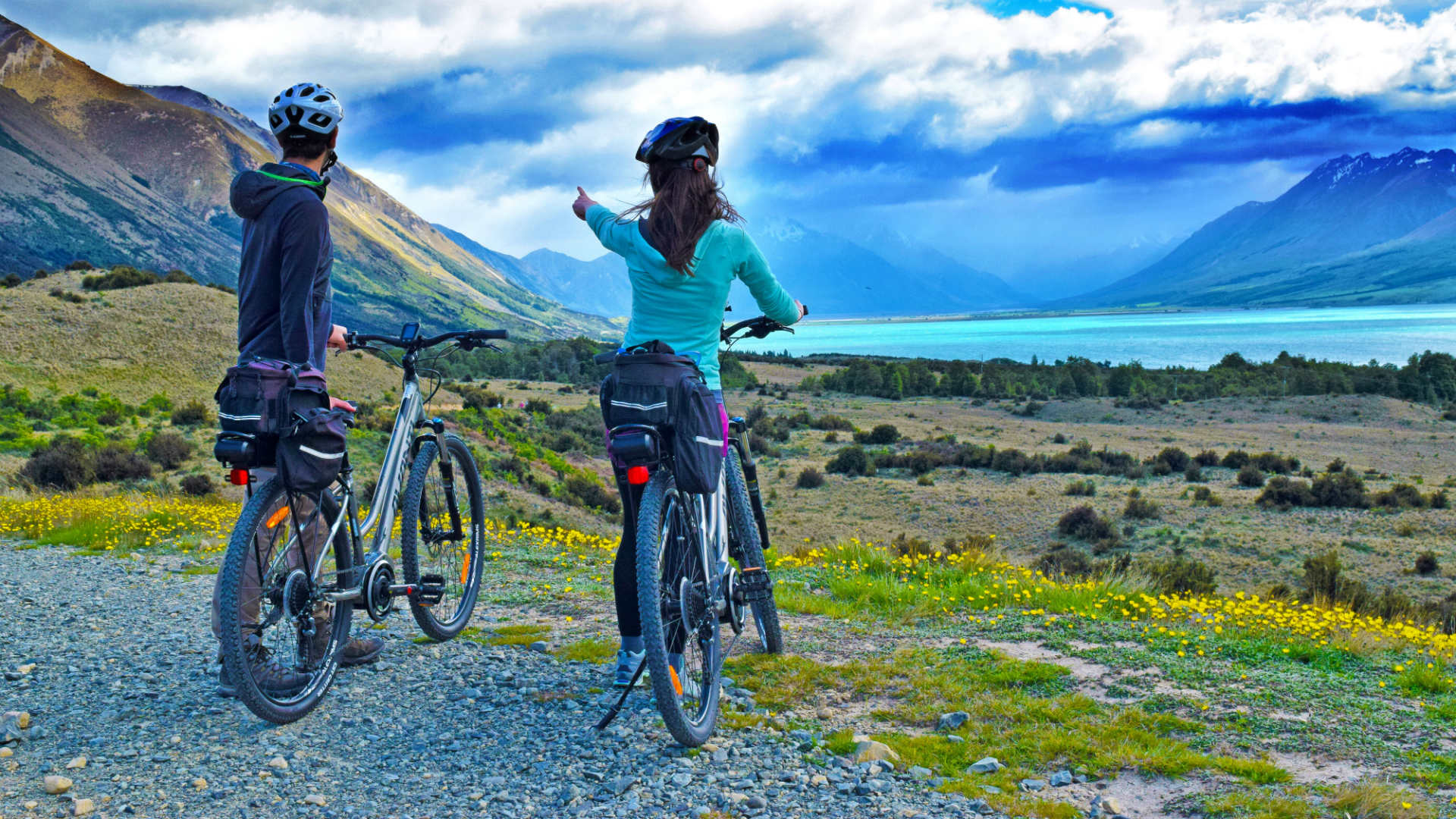
Lake Ōhau Track
Easy • 3 hrs one way • 8 km • 7.97 km away
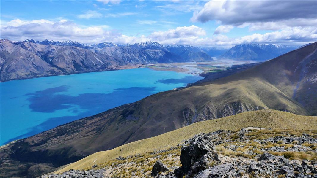
Greta Track
Advanced • 6 to 7 hrs loop • 16 km • 8.09 km away
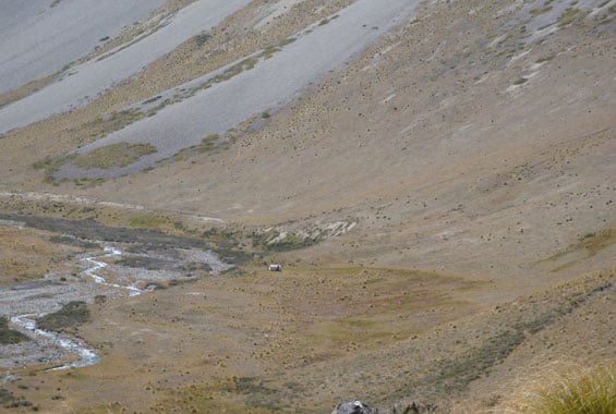
Quailburn Track
Advanced • 30 min | 2 hr one way • 1.5 km | 5.5 km • 10.45 km away
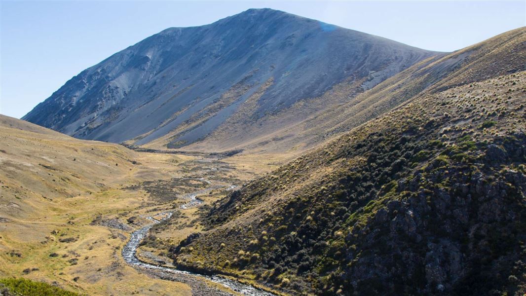
East Ahuriri Track
Advanced • 1 - 2 days • 27 km • 10.53 km away
Notes from people who have been
No notes yet. If you have been, say what you found.
Something missing or out of date?
Closed, moved, wrong facts, or something we have missed? Travellers keep the Road Guide up to date. Tell us what you found at contribute@parkup.nz and we will check it and add it.
Ask us to take this down
A person reads every request. We do not remove a place until we have checked it.
Sources
- DOC Tracks (API) · CC BY 4.0Crown Copyright: Department of Conservation Te Papa Atawhai. Data sourced from the DOC Developer Portal (api.doc.govt.nz).