Round Bush Campsite
Freedom campingLocated in Ruataniwha Conservation Park, CanterburyOpen
Freedom camping rules are set by each council, and by DOC on conservation land. Check the local rules before you stay. Many spots are for certified self-contained vehicles only.
We do not know the vehicle rule for this spot. Check the council rules for your vehicle before you stay.
This is an area the rules cover, not a site you can drive to. The pin marks a rough centre, so follow the signs on the ground.
- Vehicles
- Check council rules
- Toilet
- Non-flush
- Drinking water
- Not drinkable
Getting there
We have not checked a road end or car park for this place yet, so we do not give driving directions to it. Check how to get there before you go. Some routes cross private land and need the landowner's permission.
How to get there, on doc.govt.nzAt Clearburn, south of Twizel, turn onto Lake Ohau Road and continue for 25 km.
Source: DOC Te Papa Atawhai.
Map
Map data © OpenStreetMap contributors. Topo map: LINZ, CC BY 4.0. 44.20810° S, 169.81712° E
About this place
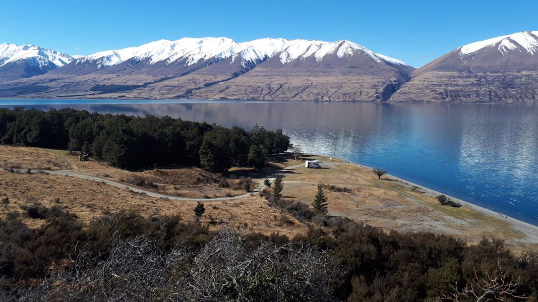
Beautiful beech forest, hung with mistletoe in summer, grows right up to the lake edge.
Nearby stops

Maitland Hut
Standard • 4 bunks • Canterbury • 6 km
Maitland Hut is a standard four-bunk hut located in Ruataniwha Conservation Park in Canterbury.
Heating • Mattresses • Toilets - non-flush
Greta Lodge
Canterbury • 6.3 km

Lake Middleton Campsite
Standard • Canterbury • 7.8 km
Lake Middleton Campsite is a campsite in Canterbury that serves as a base for walking or mountain biking. It provides access to the Lake Ōhau area and…
Boat launching • Dump station • Non-powered/tent sites
South Temple Hut
Standard • 6 bunks • Canterbury • 9.9 km
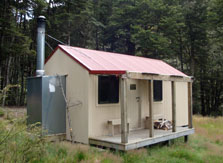
South Temple Hut is a standard six-bunk hut located in the Ruataniwha Conservation Park in Canterbury.
Heating • Mattresses • Toilets - non-flush

Temple Campsite
Basic • Canterbury • 11.2 km
Temple Campsite is located north of Lake Ōhau in Canterbury, set within a beech forest on a large, flat area. The site provides access to the North and South…
Fire pit/place for campfires (except in fire bans) • Non-powered/tent sites • Shelter for cooking
Walks nearby
Sawyers and Parsons Creek to Freehold Creek Track
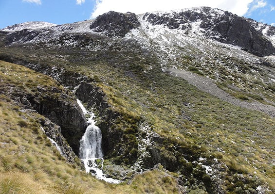
Advanced • 8 hrs one way • 12 km • 5.86 km away
Tarnbrae Track A2O
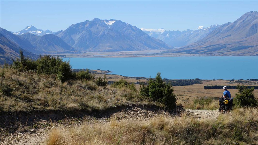
Advanced • 5 hr one way • 16 km • 6.96 km away
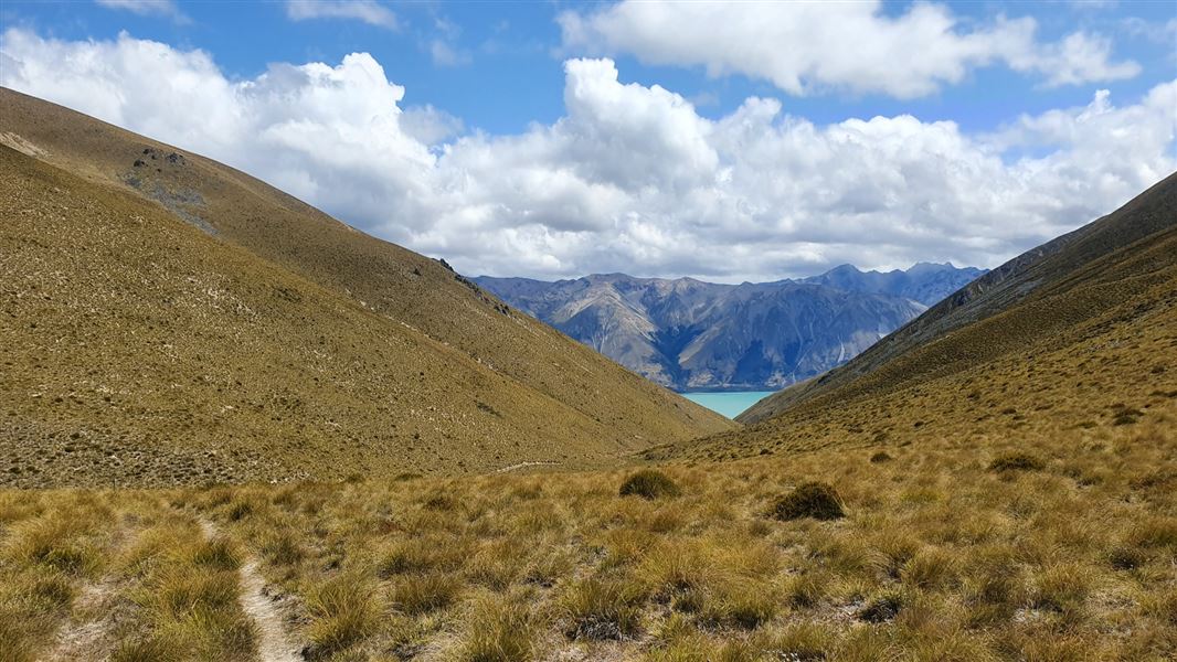
Flanagan Pass Trail
Advanced • 6 hr • 18 km return or 19 km via Pyramid Track • 8.33 km away
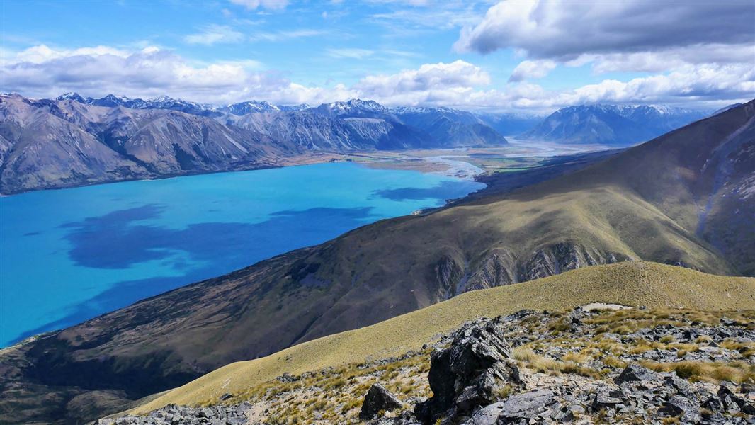
Greta Track
Advanced • 6 to 7 hrs loop • 16 km • 8.9 km away
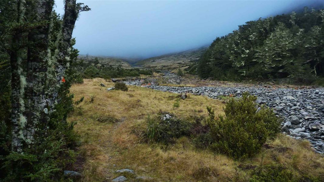
South Temple Track
Advanced • 6 - 8 hr • 15 km • 9.21 km away
Contact
Aoraki/Mount Cook National Park Visitor Centre
1 Larch Grove, Aoraki/Mount Cook 7999
Regional DOC service centre.
Notes from people who have been
No notes yet. If you have been, say what you found.
Something missing or out of date?
Closed, moved, wrong facts, or something we have missed? Travellers keep the Road Guide up to date. Tell us what you found at contribute@parkup.nz and we will check it and add it.
Ask us to take this down
A person reads every request. We do not remove a place until we have checked it.
Sources
- DOC freedom camping · CC BY 3.0 NZ (Crown copyright, attribute the Department of Conservation)Department of Conservation (CC BY 3.0 NZ).
- DOC Campsites · CC BY 4.0Data sourced from the Department of Conservation (DOC), New Zealand.
- DOC Campsites (API) · CC BY 4.0Crown Copyright: Department of Conservation Te Papa Atawhai. Data sourced from the DOC Developer Portal (api.doc.govt.nz).
- OpenStreetMap Campsites · ODbL (Open Database License)Contains information from OpenStreetMap, made available under the ODbL.