Greta Track
WalkCanterburyOpen
- Grade
- Advanced
- Walking time
- 7 hr
- Distance
- 16 km
- Route
- Loop
- Biking time
- 4 to 5 hrs
- Dogs
- On a lead
Getting there
We have not checked a road end or car park for this place yet, so we do not give driving directions to it. Check how to get there before you go. Some routes cross private land and need the landowner's permission.
How to get there, on doc.govt.nzFor the Greta Track, Dorcy Track and the eastern end of Lake Ohau Track, take Glen Lyon Road from Twizel.
Source: DOC Te Papa Atawhai.
Map
Map data © OpenStreetMap contributors. Topo map: LINZ, CC BY 4.0. 44.25537° S, 169.90726° E
About this place
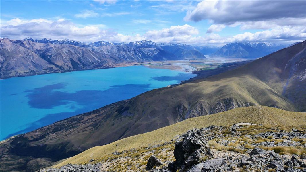
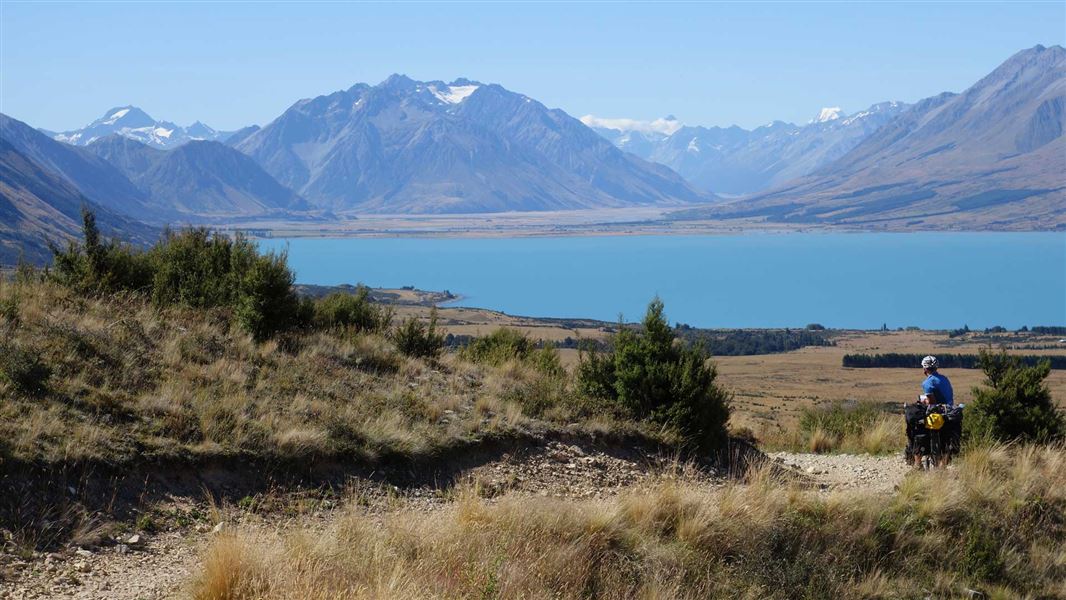
Pass by fellfields (blocky scree) and short rock bluffs above Gretas Stream. This track is close to Lake Ōhau.
The route
There is a choice between two entry points to this track – either north or south of Gretas Stream. If you start from the southern car park you will pass an old derelict musterer's hut from the 1890s called Back Hut. It is then a 5 km climb up the western flank of Ben Ohau/Ruataniwha Peak. You will need to deviate from the track to climb to the true summit at 1522 m. Pass by fellfields (blocky scree) and short rock bluffs above Gretas Stream. Lower down you need to cross Gretas Stream several times so you may get wet feet. Note that cattle may be present between Greta and Dorcy Stream.
Mountain biking
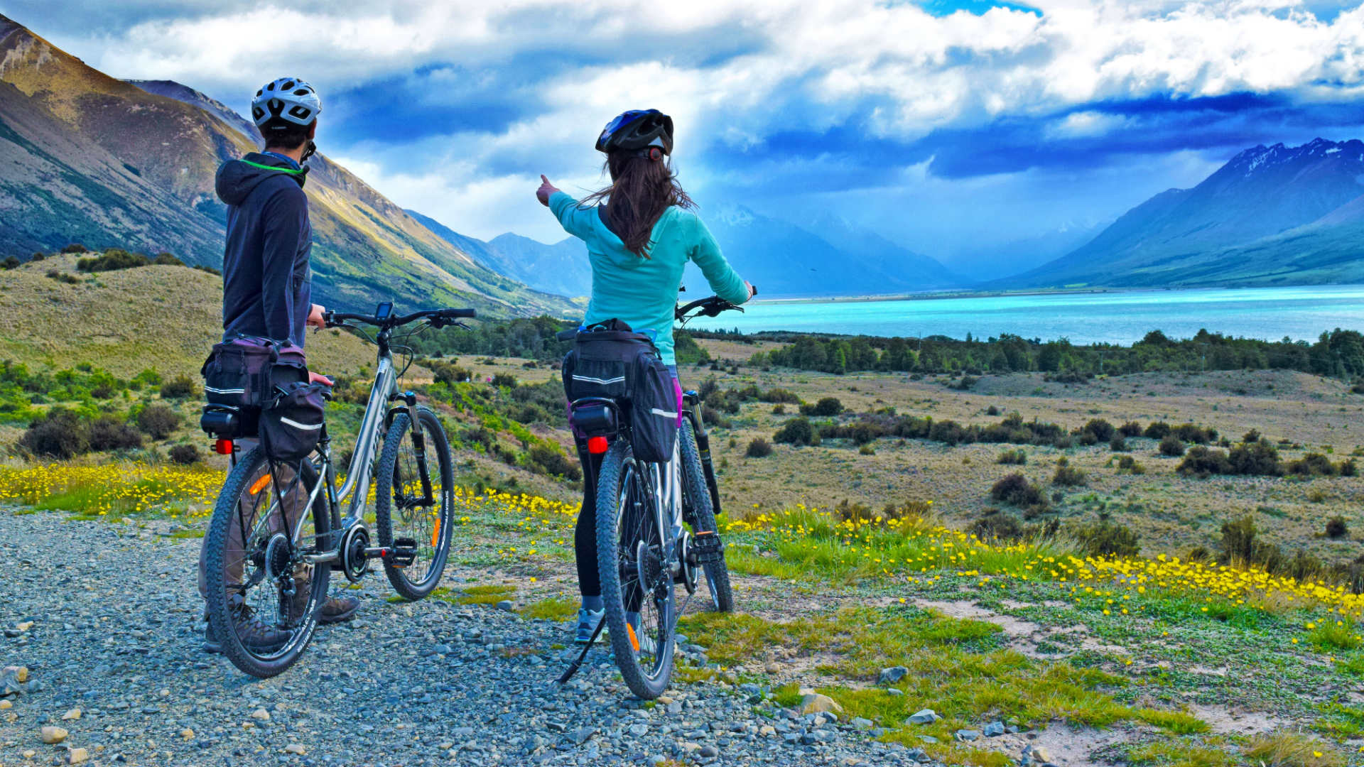
It is best to ride this track in a clockwise direction. Start north of Gretas Stream and finish with the downhill descent on the western flank of Ben Ohau/Ruataniwha Peak. This is a shared-use track. Follow the mountain bikers code : respect others, respect the rules, respect the track.
Source: DOC Te Papa Atawhai.
Nearby stops
Greta Lodge
Canterbury • 2.6 km

Lake Middleton Campsite
Standard • Canterbury • 5 km
Lake Middleton Campsite is a campsite in Canterbury that serves as a base for walking or mountain biking. It provides access to the Lake Ōhau area and…
Boat launching • Dump station • Non-powered/tent sites

Round Bush Campsite
Basic • Canterbury • 8.9 km
Round Bush Campsite is on Lake Ohau Road in Ruataniwha Conservation Park. It is free, has 20 non-powered and tent sites, and stays are limited to four nights.
Boat launching • Water from stream • Toilets - non-flush
Lake Ruataniwha Holiday Park
Canterbury • 12.8 km
Lake Ruataniwha Holiday Park is a campsite located in the Canterbury region. It is situated on the shores of Lake Ruataniwha, a popular destination for…

Maitland Hut
Standard • 4 bunks • Canterbury • 13.8 km
Maitland Hut is a standard four-bunk hut located in Ruataniwha Conservation Park in Canterbury.
Heating • Mattresses • Toilets - non-flush
Walks nearby
Lake Ōhau Track
Easy • 3 hrs one way • 8 km • 3.99 km away
Flanagan Pass Trail
Advanced • 6 hr • 18 km return or 19 km via Pyramid Track • 5.4 km away
Sawyers and Parsons Creek to Freehold Creek Track
Advanced • 8 hrs one way • 12 km • 7.75 km away
Tarnbrae Track A2O
Advanced • 5 hr one way • 16 km • 8.09 km away
Rhoboro Track
Advanced • Under 1 hour • 9.77 km • 10.08 km away
Notes from people who have been
No notes yet. If you have been, say what you found.
Something missing or out of date?
Closed, moved, wrong facts, or something we have missed? Travellers keep the Road Guide up to date. Tell us what you found at contribute@parkup.nz and we will check it and add it.
Ask us to take this down
A person reads every request. We do not remove a place until we have checked it.
Sources
- DOC Tracks (API) · CC BY 4.0Crown Copyright: Department of Conservation Te Papa Atawhai. Data sourced from the DOC Developer Portal (api.doc.govt.nz).
- DOC Tracks & Trails · CC BY 4.0Data sourced from the Department of Conservation (DOC), New Zealand.