Rhoboro Track
WalkCanterburyOpen
- Grade
- Advanced
- Distance
- 9.77 km
- Biking time
- Under 4 hours
- Dogs
- No dogs
Getting there
We have not checked a road end or car park for this place yet, so we do not give driving directions to it. Check how to get there before you go. Some routes cross private land and need the landowner's permission.
How to get there, on doc.govt.nzFrom Twizel travel 6 km on Glen Lyon Road. Dusky Trail starts on the Pukaki canal road.
From Twizel travel 6 km on Glen Lyon Road. Dusky Trail starts on the Pukaki canal road.
Source: DOC Te Papa Atawhai.
Map
Map data © OpenStreetMap contributors. Topo map: LINZ, CC BY 4.0. 44.19828° S, 170.00560° E
Got a good photo of this place? Send it to us and we will show it with your name.
About this place
Climb along Darts Bush Stream.
The route
Leaves the Dusky Trail and follows the true right of the Darts Bush Stream. From there you can continue on to Flanagan Pass or return via the Pyramid Track.
Mountain biking
This ride is a combination of different tracks. It doesn't really matter which entry point you choose. Riders may prefer to start at Fraser Stream and gradually climb up Darts Bush Stream Track for a short technical descent from Pyramid Saddle.
Source: DOC Te Papa Atawhai.
Nearby stops

Lake Poaka Campsite
Basic • Canterbury • 7.4 km
Lake Poaka Campsite is located in the Canterbury region near Twizel. It serves as a base for recreational activities in the surrounding area and offers an…
Non-powered/tent sites • Water from stream • Toilets - non-flush
Lake Poaka Amenity area
Canterbury • 7.7 km
Lake Poaka campsite is on Lake Poaka Access Road, off State Highway 8 north of Pukaki Canal. The maximum stay is four nights, with 30 non-powered and tent…
Lake Wardell
Canterbury • 9.3 km
Lake Ruataniwha Holiday Park
Canterbury • 9.4 km
Lake Ruataniwha Holiday Park is a campsite located in the Canterbury region. It is situated on the shores of Lake Ruataniwha, a popular destination for…
Twizel Holiday Park
Canterbury • 9.6 km
Twizel Holiday Park is a campsite located in the Canterbury region. It provides accommodation for visitors traveling through the area.
Walks nearby
Dusky Trail
Advanced • 7-8 hr • 23 km • 2.5 km away
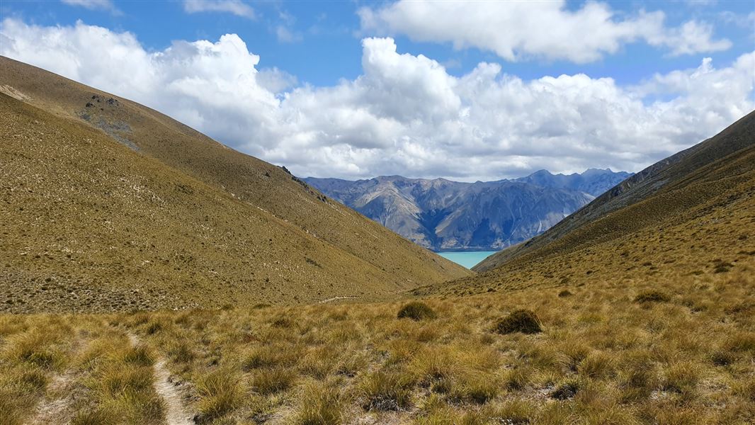
Flanagan Pass Trail
Advanced • 6 hr • 18 km return or 19 km via Pyramid Track • 6.77 km away
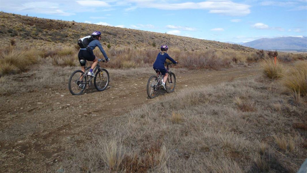
Baikie Hut Track
Advanced • 3 hr one way • 9 km • 9.41 km away
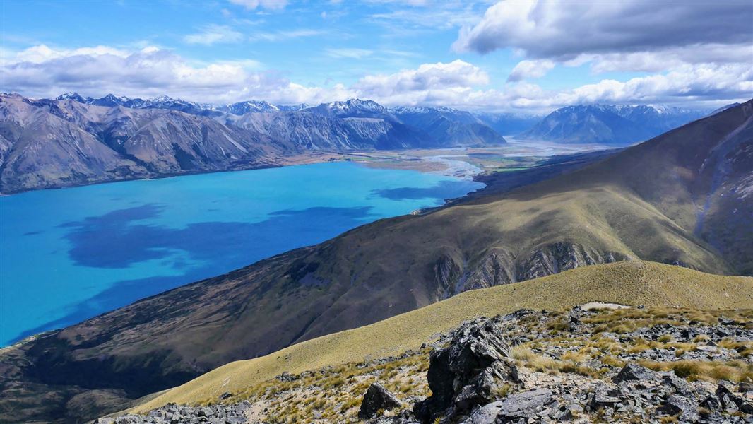
Greta Track
Advanced • 6 to 7 hrs loop • 16 km • 10.08 km away
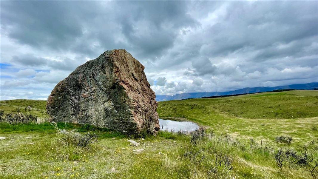
Pukaki Boulders Track
Easiest • 10 min one way • 200 m • 10.24 km away
Notes from people who have been
No notes yet. If you have been, say what you found.
Something missing or out of date?
Closed, moved, wrong facts, or something we have missed? Travellers keep the Road Guide up to date. Tell us what you found at contribute@parkup.nz and we will check it and add it.
Ask us to take this down
A person reads every request. We do not remove a place until we have checked it.
Sources
- DOC Tracks (API) · CC BY 4.0Crown Copyright: Department of Conservation Te Papa Atawhai. Data sourced from the DOC Developer Portal (api.doc.govt.nz).
- DOC Tracks & Trails · CC BY 4.0Data sourced from the Department of Conservation (DOC), New Zealand.