East Ahuriri Track
WalkCanterbury
- Grade
- Advanced
- Walking time
- 2 days
- Distance
- 27 km
- Dogs
- Under control
Access: read before you go
This track crosses private land. There is no camping until the conservation area boundary. Respect the landowner's livestock and property: Stay on the marked track until you reach the conservation land Leave gates as you find them Use stiles where provided Keep your distance from livestock.
You need permission from the Makarora River Ranch to take your dog into Hāwea Conservation Park using Boundary Creek Track. Email makaroraranch@gmail.com at least 24 hours in advance of your visit to request permission. You must provide a valid worming certificate to ensure your dog is free from hydatids and sheep measles.
Source: DOC Te Papa Atawhai.
Getting there
We have not checked a road end or car park for this place yet, so we do not give driving directions to it. Check how to get there before you go. Some routes cross private land and need the landowner's permission.
How to get there, on doc.govt.nzTurn off SH8 onto Birchwood Road, 17 km south of Omarama. The turnoff is signposted for Ahuriri Conservation Park. It is 11 km down Birchwood Road to the start of the track at Avon Burn carpark.
Source: DOC Te Papa Atawhai.
Map
Map data © OpenStreetMap contributors. Topo map: LINZ, CC BY 4.0. 44.35532° S, 169.74929° E
About this place
East Ahuriri Track is part of Te Araroa Trail.
The route
This track is part of Te Araroa Trail .
Birchwood Road to Ahuriri River
Time: 20 min
km This public access easement through private farmland provides access to the Ahuriri River. Follow marker poles beside the fenceline for 1 km to reach the river. If the river isn't safe to cross, walk downstream and cross at Ireland Bridge.
Ahuriri River to East Ahuriri Hut
km This tramping track is only lightly marked so is for experienced trampers. Travel up the Ahuriri River East Branch to an old musterer's hut which remains from the 1890s. This hut is now derelict but may offer some shelter if required.
East Ahuriri Hut to Lake Ohau Road
km As you travel upstream the valley becomes more vegetated with native matagouri. This track is lightly marked. Climb up out of the valley to swampy ground before heading down to Freehold Creek basin. A well formed track takes you out to Lake Ōhau.
Source: DOC Te Papa Atawhai.
Know before you go
Private property and permissions
This track crosses private land. There is no camping until the conservation area boundary. Respect the landowner's livestock and property: Stay on the marked track until you reach the conservation land Leave gates as you find them Use stiles where provided Keep your distance from livestock.
Dogs
You need permission from the Makarora River Ranch to take your dog into Hāwea Conservation Park using Boundary Creek Track. Email makaroraranch@gmail.com at least 24 hours in advance of your visit to request permission. You must provide a valid worming certificate to ensure your dog is free from hydatids and sheep measles.
Check the flow of the Ahuriri River
Check the flow of the river if you intend to cross before you go: Ahuriri River flow . It is safe to cross when the flow is 18 cubic metres per second (cumecs) or less.
Stay safe when crossing rivers and streams
If you plan to cross unbridged rivers or side streams, know how to cross safely and be prepared for if you cannot cross. Do not cross if the river or stream is flooded, you cannot find safe entry and exit points or are unsure it’s safe. Turn back or wait for the river to drop. If in doubt, stay out. How to cross rivers safely NIWA river flow forecasts: View a video of national followed by regional river flows
Source: DOC Te Papa Atawhai.
Nearby stops
wild camp area
Canterbury • 4.3 km
This wild camp area is located in the Canterbury region. It provides a basic spot for overnight stays in the outdoors.
Quailburn Campsite
Canterbury • 4.5 km
Quailburn Campsite is a quiet spot on the edge of a tree-lined stream in Canterbury. It sits close to an historic shearing shed and a walking track.
Water from stream • Toilets - non-flush • Toilets

Hideaway Hut
Basic/bivvies • 6 bunks • Canterbury • 5.5 km
Hideaway Hut is a basic hut located in the Mackenzie Country and Waitaki area of Canterbury.
Mattresses • Toilets - non-flush • Water from stream

Snowy Gorge Hut
Basic/bivvies • 5 bunks • Canterbury • 9 km
Snowy Gorge Hut is a basic five-bunk hut located in the Mackenzie Country and Waitaki area of Canterbury.
Mattresses • Toilets - non-flush • Water from stream

Lake Middleton Campsite
Standard • Canterbury • 12.1 km
Lake Middleton Campsite is a campsite in Canterbury that serves as a base for walking or mountain biking. It provides access to the Lake Ōhau area and…
Boat launching • Dump station • Non-powered/tent sites
Walks nearby
Quailburn Track
Advanced • 30 min | 2 hr one way • 1.5 km | 5.5 km • 3.69 km away
Hideaway Hut Route
Expert • 2 hr one way • 6 km • 8.29 km away
Ben Avon access route
Expert • 30 min • 500 m • 9.51 km away
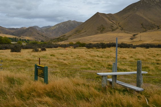
Birch Creek access route
Expert • 1 hr one way • 2 km • 10.3 km away
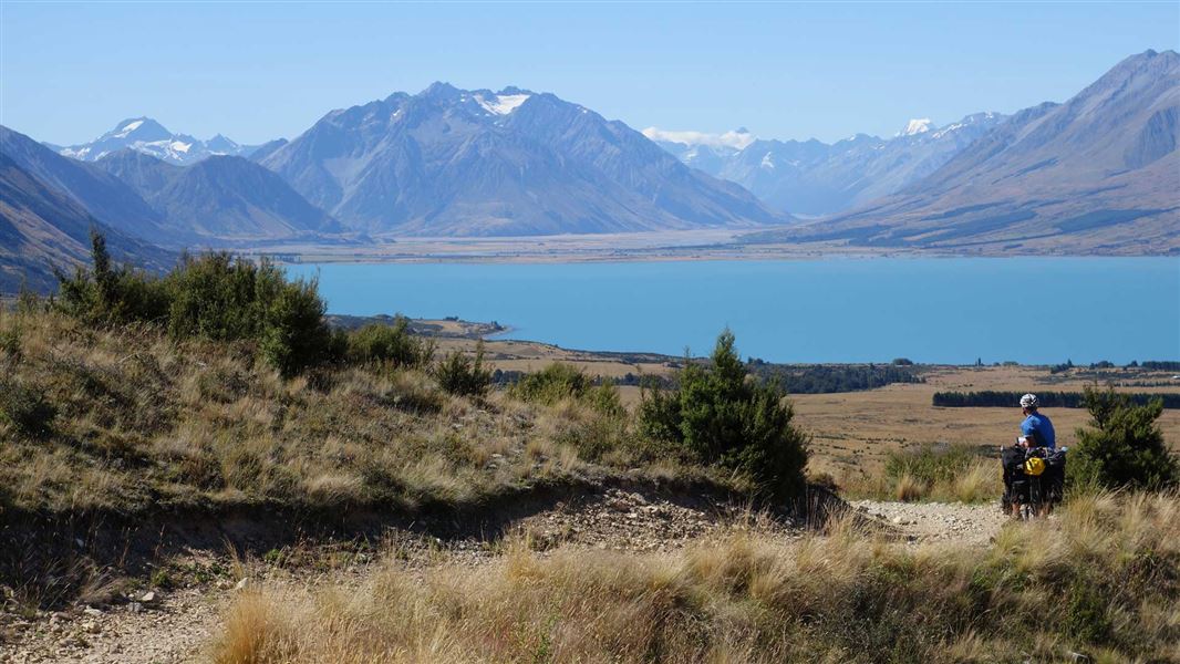
Tarnbrae Track A2O
Advanced • 5 hr one way • 16 km • 10.53 km away
Notes from people who have been
No notes yet. If you have been, say what you found.
Something missing or out of date?
Closed, moved, wrong facts, or something we have missed? Travellers keep the Road Guide up to date. Tell us what you found at contribute@parkup.nz and we will check it and add it.
Ask us to take this down
A person reads every request. We do not remove a place until we have checked it.
Sources
- DOC Tracks (API) · CC BY 4.0Crown Copyright: Department of Conservation Te Papa Atawhai. Data sourced from the DOC Developer Portal (api.doc.govt.nz).