Hideaway Hut
Basic/bivvies hutAhuriri Conservation Park, CanterburyOpen
- Sleeps
- 6 bunks
- Booking
- Not bookable
- Heating
- None
- Drinking water
- Not drinkable
- Toilet
- Non-flush
Getting there
We have not checked a road end or car park for this place yet, so we do not give driving directions to it. Check how to get there before you go. Some routes cross private land and need the landowner's permission.
How to get there, on doc.govt.nz- Topo map
- Topo50 sheet BZ14
Source: DOC Te Papa Atawhai.
Map and tracks
Track lines: DOC Te Papa Atawhai. Map data © OpenStreetMap contributors. Topo map: LINZ, CC BY 4.0. 44.34585° S, 169.68108° E
About this place
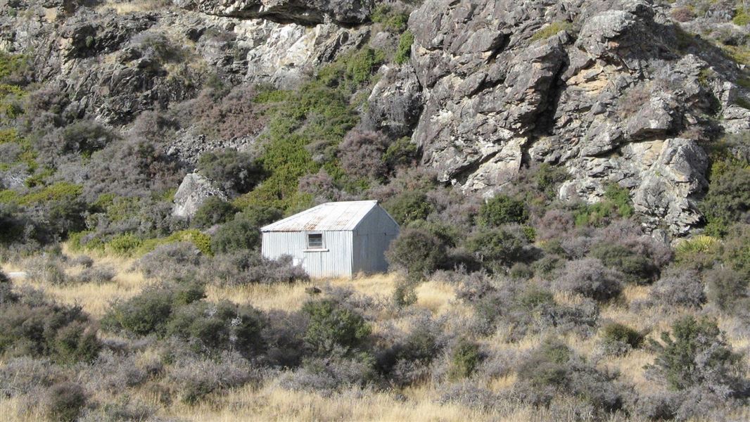
This is a basic hut in the Mackenzie Country and Waitaki area.
On the way here
Hideaway Hut Route · 2 hr one way
Follow a short public access easement through private farmland to reach Ahuriri River and Ahuriri Conservation Park. Head towards an old derelict duckshooters hut on the river flats. Uphill from the hut you should be able to pick up an unmarked track that eventually reaches a small tarn. From the tarn it's a short distance to Hideaway Hut, tucked away under bluffs. Tarn on Hideaway Hut Route in Ahuriri Conservation Park
Horse riding
The trip into Hideaway Hut makes a good horse ride. Driving from the access point on Birchwood Road to Ahuriri River is not recommended if towing a horse float.
Source: DOC Te Papa Atawhai.
Fees and bookings
Free
Source: DOC Te Papa Atawhai.
Nearby stops
wild camp area
Canterbury • 5.7 km
This wild camp area is located in the Canterbury region. It provides a basic spot for overnight stays in the outdoors.

Snowy Gorge Hut
Basic/bivvies • 5 bunks • Canterbury • 7.1 km
Snowy Gorge Hut is a basic five-bunk hut located in the Mackenzie Country and Waitaki area of Canterbury.
Mattresses • Toilets - non-flush • Water from stream
Quailburn Campsite
Canterbury • 10 km
Quailburn Campsite is a quiet spot on the edge of a tree-lined stream in Canterbury. It sits close to an historic shearing shed and a walking track.
Water from stream • Toilets - non-flush • Toilets
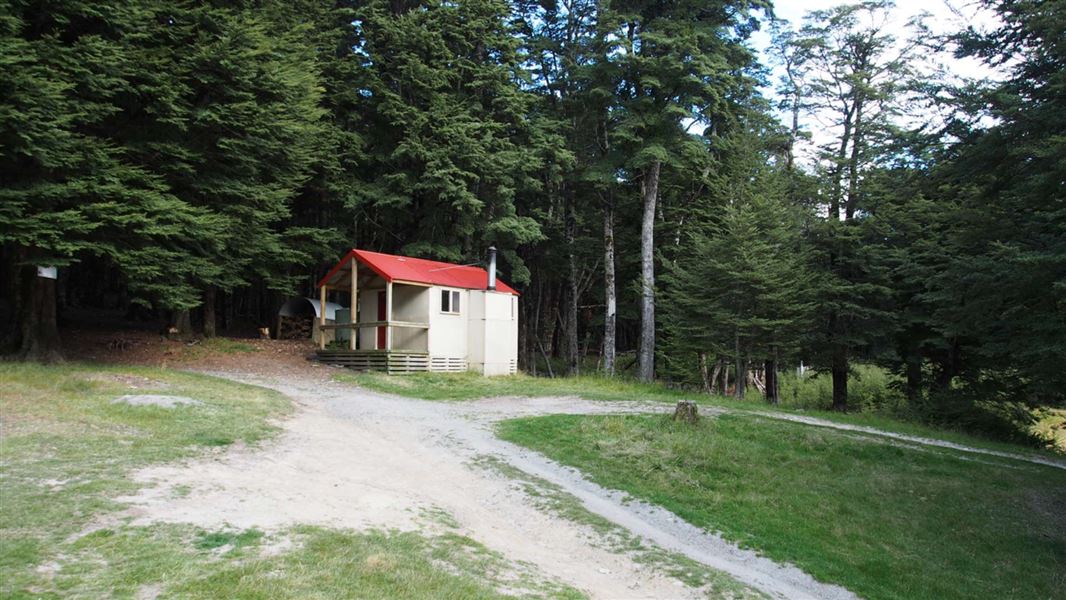
Ahuriri Base Hut
Standard • 6 bunks • Canterbury • 10.5 km
Ahuriri Base Hut is a standard six-bunk hut located in the Mackenzie Country and Waitaki area of Canterbury.
Heating • Mattresses • Toilets - non-flush
Ben Avon Hut (historic)
Otago • 11.8 km
Ben Avon Hut is a historic hut located in the Otago region of New Zealand. It is a former accommodation structure that is no longer maintained as a current…
Walks nearby
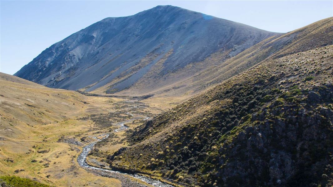
East Ahuriri Track
Advanced • 1 - 2 days • 27 km • 5.52 km away
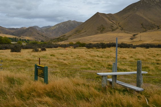
Birch Creek access route
Expert • 1 hr one way • 2 km • 5.83 km away
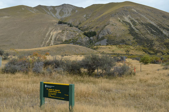
Ben Avon access route
Expert • 30 min • 500 m • 7.02 km away
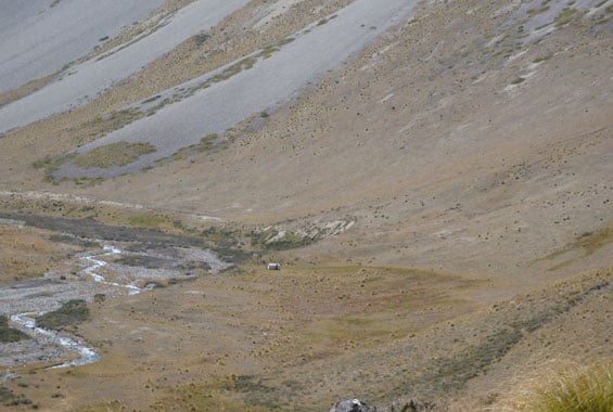
Quailburn Track
Advanced • 30 min | 2 hr one way • 1.5 km | 5.5 km • 9.21 km away
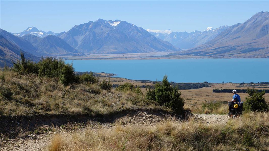
Tarnbrae Track A2O
Advanced • 5 hr one way • 16 km • 13.12 km away
Contact
Aoraki/Mount Cook National Park Visitor Centre
1 Larch Grove, Aoraki/Mount Cook 7999
Regional DOC service centre.
Notes from people who have been
No notes yet. If you have been, say what you found.
Something missing or out of date?
Closed, moved, wrong facts, or something we have missed? Travellers keep the Road Guide up to date. Tell us what you found at contribute@parkup.nz and we will check it and add it.
Ask us to take this down
A person reads every request. We do not remove a place until we have checked it.
Sources
- OpenStreetMap Huts · ODbL (Open Database License)Contains information from OpenStreetMap, made available under the ODbL.
- DOC Huts · CC BY 4.0Data sourced from the Department of Conservation (DOC), New Zealand.
- DOC Huts (API) · CC BY 4.0Crown Copyright: Department of Conservation Te Papa Atawhai. Data sourced from the DOC Developer Portal (api.doc.govt.nz).