Sentinel Rock Lookout Track
WalkBay of Plenty
- Grade
- Advanced
- Walking time
- 5 hr
- Distance
- 5.4 km
- Dogs
- No dogs
Getting there
We have not checked a road end or car park for this place yet, so we do not give driving directions to it. Check how to get there before you go. Some routes cross private land and need the landowner's permission.
How to get there, on doc.govt.nzLocated within the Kaimai Mamaku Forest Park, these walks begin at the end of Hot Springs Road, just south of Katikati off SH2.
Source: DOC Te Papa Atawhai.
Map and tracks
Track lines: DOC Te Papa Atawhai. Map data © OpenStreetMap contributors. Topo map: LINZ, CC BY 4.0. 37.61384° S, 175.85427° E
About this place
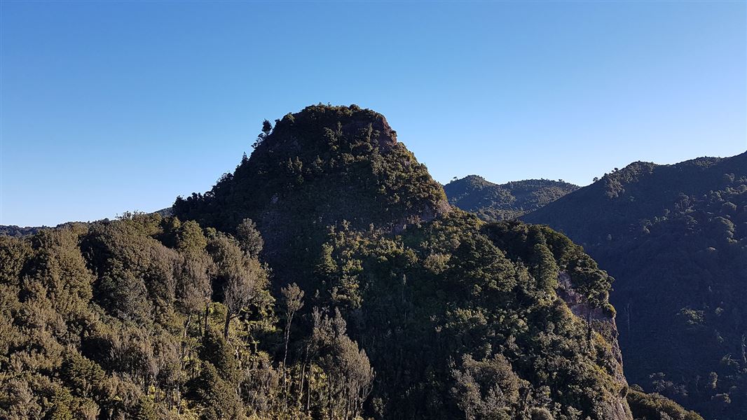
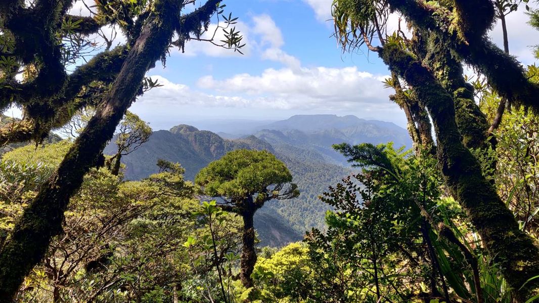
A challenging climb to an isolated rock outcrop in the Kaimai Ranges that offers spectacular views across the valley.
The route
This track is signposted off the Tuahu Track at the Tuahu Kauri approximately 25 minutes from the car park. After a steep climb it travels along an undulating ridge to a view of Sentinel Rock, an isolated rock outcrop east of the Kaimai Range. The view of the surrounding valley is spectacular on a clear day. The old track to the top of the rock is considered dangerous and should not be used. Return on the same track.
Source: DOC Te Papa Atawhai.
Nearby stops
Motutapere Hut
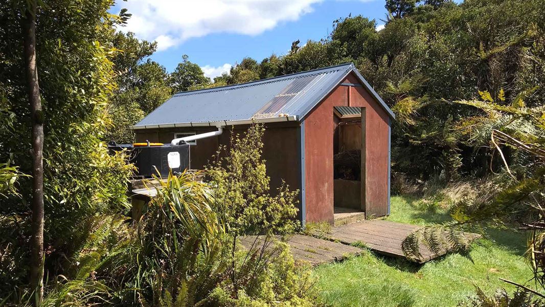
Basic/bivvies • 3 bunks • Bay of Plenty • 1.5 km
Motutapere Hut is a basic three-bunk hut located in the Tauranga area of the Bay of Plenty.
Heating • Mattresses • Toilets - non-flush
Te Rereatukahia Hut
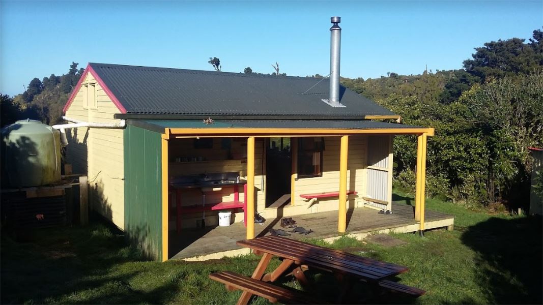
Serviced • 12 bunks • Bay of Plenty • 3.7 km
Te Rereatukahia Hut is a serviced 12-bunk hut located in the Bay of Plenty region. Bookings must be made online in advance.
Heating • Mattresses • Toilets - non-flush
Sapphire Springs Camping
Bay of Plenty • 3.9 km
Morepork House
Bay of Plenty • 4.9 km
Morepork House is a campsite located in the Bay of Plenty region. The available records provide no further details regarding its facilities or specific…
Katikati Naturist Park
Bay of Plenty • 5.6 km
Katikati Naturist Park is a campsite located in the Bay of Plenty region. The provided data does not include specific details about its facilities or amenities.
Walks nearby
Te Rereatukahia Hut Track
Advanced • 3–6 hrs one way • 9.5–15 km • 1.33 km away
Eliza Mine Loop Track
Advanced • 4 - 5 hr • 7 km • 2.01 km away
North-South Track
Expert • 5 - 7 days • 82 km • 2.62 km away
Lindemann Loop Track
Advanced • 5 hr • 11 km • 7.9 km away
Aongatete Nature Trail
Easiest • 15 min • 640 m • 8.41 km away
Notes from people who have been
No notes yet. If you have been, say what you found.
Something missing or out of date?
Closed, moved, wrong facts, or something we have missed? Travellers keep the Road Guide up to date. Tell us what you found at contribute@parkup.nz and we will check it and add it.
Ask us to take this down
A person reads every request. We do not remove a place until we have checked it.
Sources
- DOC Tracks (API) · CC BY 4.0Crown Copyright: Department of Conservation Te Papa Atawhai. Data sourced from the DOC Developer Portal (api.doc.govt.nz).