Tuahu Track
WalkBay of Plenty
- Grade
- Advanced
- Walking time
- 5 hr
- Distance
- 11.9 km
- Dogs
- No dogs
Getting there
We have not checked a road end or car park for this place yet, so we do not give driving directions to it. Check how to get there before you go. Some routes cross private land and need the landowner's permission.
How to get there, on doc.govt.nzLocated within the Kaimai Mamaku Forest Park, this track begins at the end of Hot Springs Road, just south of Katikati off SH2.
Source: DOC Te Papa Atawhai.
Map
Map data © OpenStreetMap contributors. Topo map: LINZ, CC BY 4.0. 37.60509° S, 175.84404° E
About this place
This is an east-west crossing of the Kaimai Ranges used since the 1890s linking Katikati and Te Aroha. It can be walked in either direction.
The route
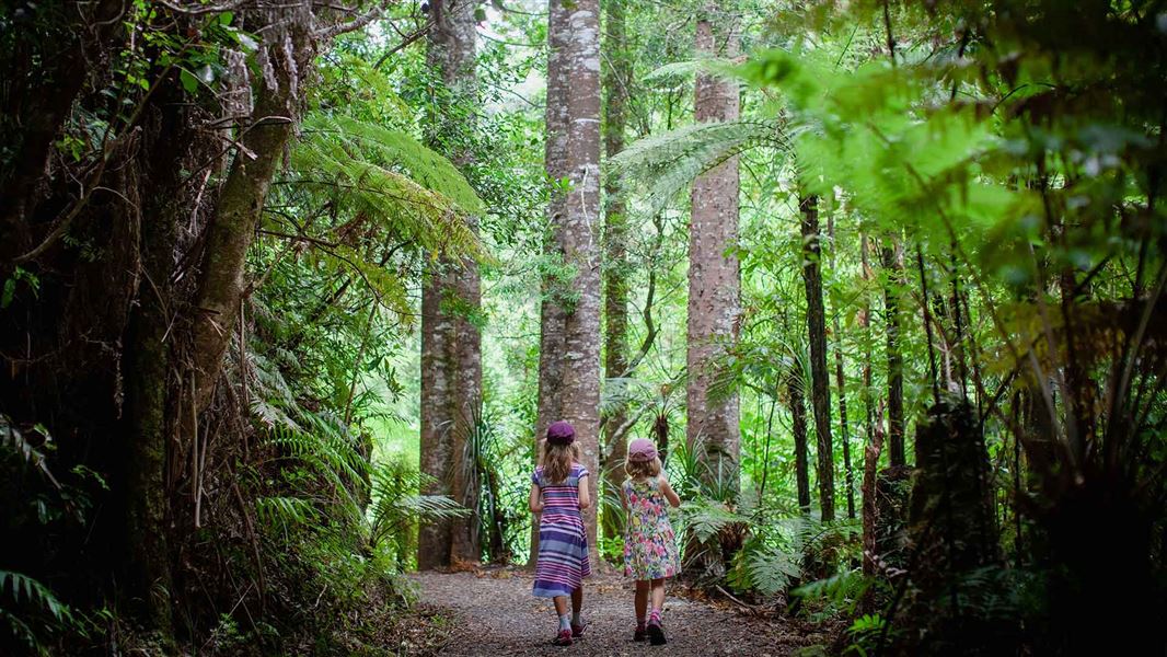
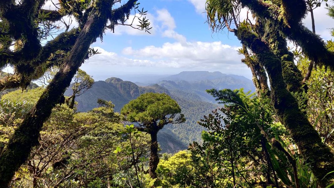
Start at the end of Hot Springs Road, off SH2 and follow the marked track. A ten minute detour will take you to the Tuahu Kauri, a mature stand of kauri trees. The Tuahu Track continues up for 15 mins to cross the Te Rereatukahia Stream before climbing on moderate grade, sidling in and out of gullies for a further hour before meeting the North South Track at the summit. Past the sumit the track sidles around the steep western escarpment of the Kaimai Range offering many views over the Waikato. Also visible are the Killarney Lakes below. The track descends gradually until it meets the Waihou Valley Pine Forest, leaving the Forest Park. The track leaves the bridle track and follows access roads through private forestry for one hour to Wairakau Road.
Source: DOC Te Papa Atawhai.
Know before you go
No mountain biking
Mountain biking is not allowed on this track. Find places where you can mountain bike .
Source: DOC Te Papa Atawhai.
On this track
In walking order.
Nearby stops
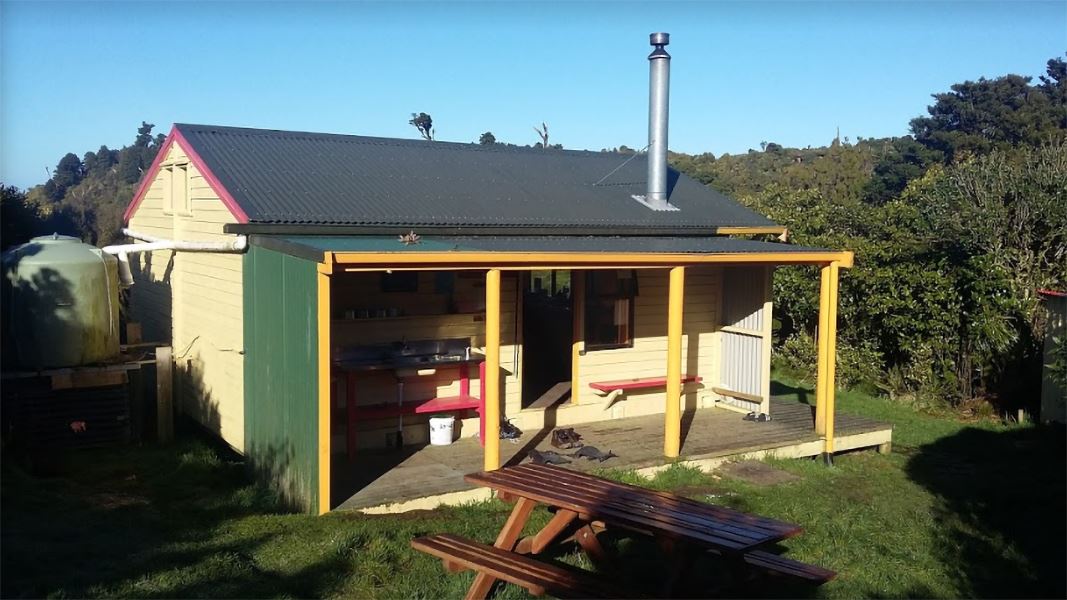
Te Rereatukahia Hut
Serviced • 12 bunks • Bay of Plenty • 2.4 km
Te Rereatukahia Hut is a serviced 12-bunk hut located in the Bay of Plenty region. Bookings must be made online in advance.
Heating • Mattresses • Toilets - non-flush
Sapphire Springs Camping
Bay of Plenty • 4 km
Katikati Naturist Park
Bay of Plenty • 5.5 km
Katikati Naturist Park is a campsite located in the Bay of Plenty region. The provided data does not include specific details about its facilities or amenities.
Morepork House
Bay of Plenty • 5.7 km
Morepork House is a campsite located in the Bay of Plenty region. The available records provide no further details regarding its facilities or specific…
Haiku Park Freedom Camping (self-contained only)
Bay of Plenty • 8.4 km
Haiku Park is a freedom camping area in the Bay of Plenty that is restricted to self-contained vehicles. The site provides basic facilities for travelers who…
Walks nearby
Te Rereatukahia Hut Track
Advanced • 3–6 hrs one way • 9.5–15 km • 0 km away
North-South Track
Expert • 5 - 7 days • 82 km • 1.3 km away
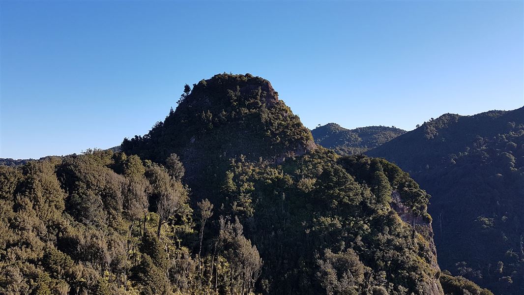
Sentinel Rock Lookout Track
Advanced • 5 hr • 5.4 km • 1.33 km away
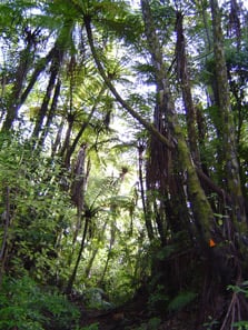
Eliza Mine Loop Track
Advanced • 4 - 5 hr • 7 km • 3.19 km away
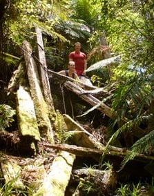
Lindemann Loop Track
Advanced • 5 hr • 11 km • 7.04 km away
Notes from people who have been
No notes yet. If you have been, say what you found.
Something missing or out of date?
Closed, moved, wrong facts, or something we have missed? Travellers keep the Road Guide up to date. Tell us what you found at contribute@parkup.nz and we will check it and add it.
Ask us to take this down
A person reads every request. We do not remove a place until we have checked it.
Sources
- DOC Tracks (API) · CC BY 4.0Crown Copyright: Department of Conservation Te Papa Atawhai. Data sourced from the DOC Developer Portal (api.doc.govt.nz).