North-South Track
WalkWaikato
- Grade
- Expert
- Walking time
- 7 days
- Distance
- 82 km
- Dogs
- No dogs
Getting there
We have not checked a road end or car park for this place yet, so we do not give driving directions to it. Check how to get there before you go. Some routes cross private land and need the landowner's permission.
How to get there, on doc.govt.nzThe track starts from Karangahake Gorge, off SH2 at Karangahake. The track exits on to SH29 at the Kaimai Summit.
Source: DOC Te Papa Atawhai.
Map
Map data © OpenStreetMap contributors. Topo map: LINZ, CC BY 4.0. 37.59808° S, 175.83217° E
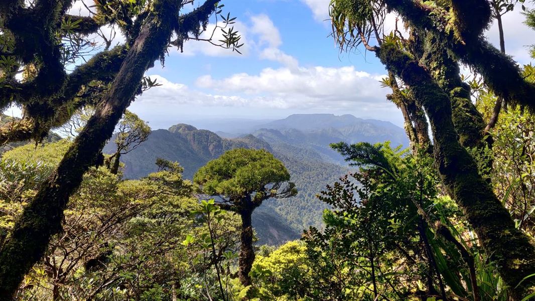
About this place
This is a multi-day tramp using rugged routes suitable for expert backcountry trampers only. Trampers will need to camp in addition to staying in huts.
The route
The North-South Track takes at least five days of serious tramping. The walk can be shortened by entering or exiting the Forest Park at a side track. This tramp involves many river crossings, steep and technical terrain, and includes remote areas which are challenging to maintain and may involve navigating around landslides and fallen trees. The old North-South track along the crest of the main range from Mount Te Aroha through Pahiko and Wahine Rock is a route – it can be extremely muddy, and overgrown. It is suitable for expert backcountry trampers only. The recommended North-South track is via Waitawheta Hut, and the Waitawheta and Wharawhara valleys. There are some huts that can be used during this tramp but camping is also necessary along the way.
Kauritatahi and Mangamuka huts are well off the main track
These two huts are accessed by difficult routes and should only be attempted by experienced trampers. This is because the distance between these two huts is not considered a reasonable day’s tramp – camping is unavoidable. It is therefore better to skip both huts or plan for extra days, and plan to camp once or twice at suitable locations on the track between Motutapere Hut and Te Whare Okioki.
Example itinerary
The following itinerary, over seven days, is a guide only:
Source: DOC Te Papa Atawhai.
Know before you go
Stay safe when crossing rivers and streams
If you plan to cross unbridged rivers or side streams, know how to cross safely and be prepared for if you cannot cross. Do not cross if the river or stream is flooded, you cannot find safe entry and exit points or are unsure it’s safe. Turn back or wait for the river to drop. If in doubt, stay out. How to cross rivers safely NIWA river flow forecasts: View a video of national followed by regional river flows
Source: DOC Te Papa Atawhai.
Nearby stops
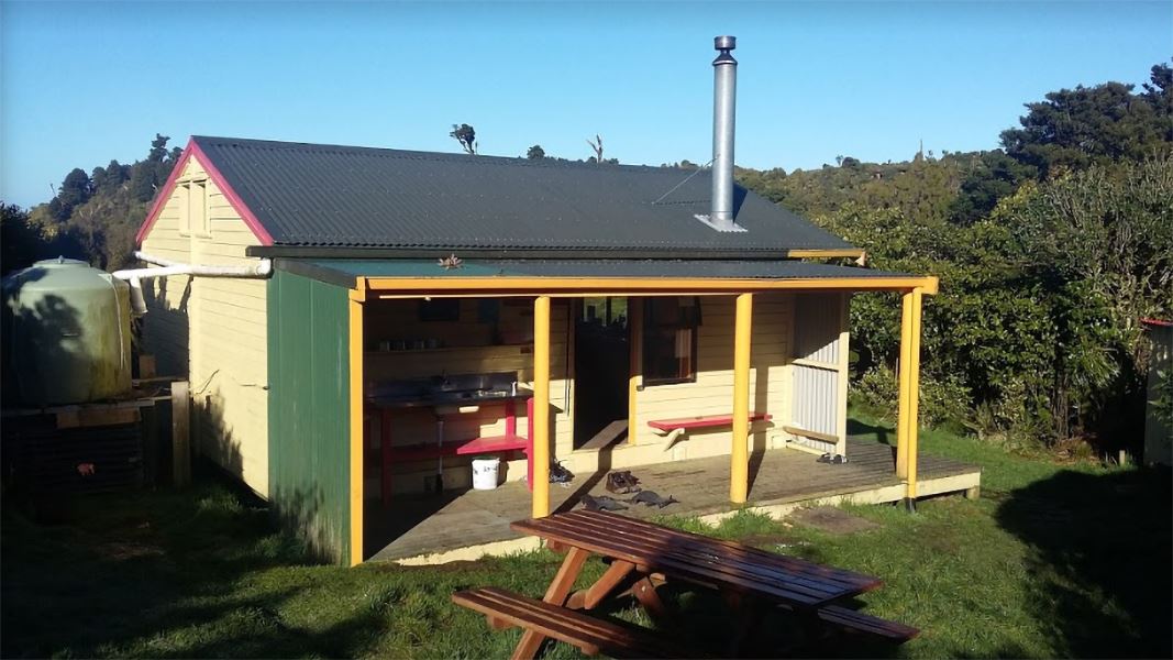
Te Rereatukahia Hut
Serviced • 12 bunks • Bay of Plenty • 1.3 km
Te Rereatukahia Hut is a serviced 12-bunk hut located in the Bay of Plenty region. Bookings must be made online in advance.
Heating • Mattresses • Toilets - non-flush
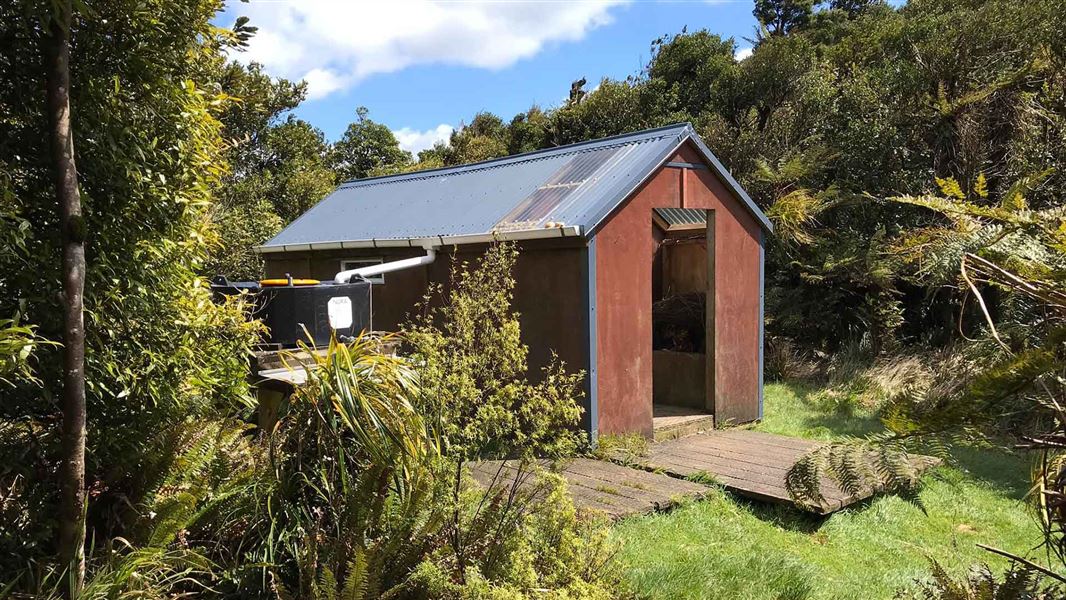
Motutapere Hut
Basic/bivvies • 3 bunks • Bay of Plenty • 2.8 km
Motutapere Hut is a basic three-bunk hut located in the Tauranga area of the Bay of Plenty.
Heating • Mattresses • Toilets - non-flush
Sapphire Springs Camping
Bay of Plenty • 4.7 km
Katikati Naturist Park
Bay of Plenty • 6 km
Katikati Naturist Park is a campsite located in the Bay of Plenty region. The provided data does not include specific details about its facilities or amenities.
Morepork House
Bay of Plenty • 6.9 km
Morepork House is a campsite located in the Bay of Plenty region. The available records provide no further details regarding its facilities or specific…
Walks nearby
Te Rereatukahia Hut Track
Advanced • 3–6 hrs one way • 9.5–15 km • 1.3 km away
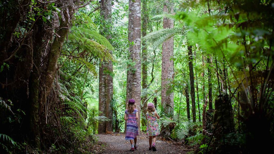
Tuahu Track
Advanced • 5 hr • 11.9 km • 1.3 km away
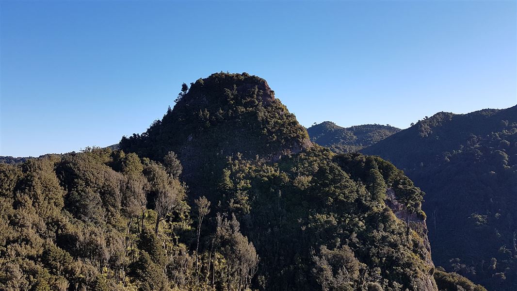
Sentinel Rock Lookout Track
Advanced • 5 hr • 5.4 km • 2.62 km away
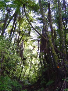
Eliza Mine Loop Track
Advanced • 4 - 5 hr • 7 km • 4.36 km away
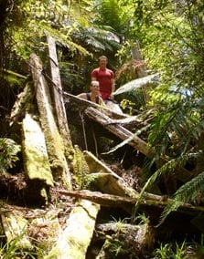
Lindemann Loop Track
Advanced • 5 hr • 11 km • 6.57 km away
Notes from people who have been
No notes yet. If you have been, say what you found.
Something missing or out of date?
Closed, moved, wrong facts, or something we have missed? Travellers keep the Road Guide up to date. Tell us what you found at contribute@parkup.nz and we will check it and add it.
Ask us to take this down
A person reads every request. We do not remove a place until we have checked it.
Sources
- DOC Tracks (API) · CC BY 4.0Crown Copyright: Department of Conservation Te Papa Atawhai. Data sourced from the DOC Developer Portal (api.doc.govt.nz).