Renata-Alpha Crossing
WalkWellington
- Grade
- Expert
- Walking time
- 4 days
- Dogs
- Under control
Getting there
We have not checked a road end or car park for this place yet, so we do not give driving directions to it. Check how to get there before you go. Some routes cross private land and need the landowner's permission.
How to get there, on doc.govt.nzThe track can be started from Akatarawa Saddle or from Kaitoke, at the Kiwi Ranch Road car park.
Source: DOC Te Papa Atawhai.
Map and tracks
Track lines: DOC Te Papa Atawhai. Map data © OpenStreetMap contributors. Topo map: LINZ, CC BY 4.0. 40.97283° S, 175.22674° E
About this place
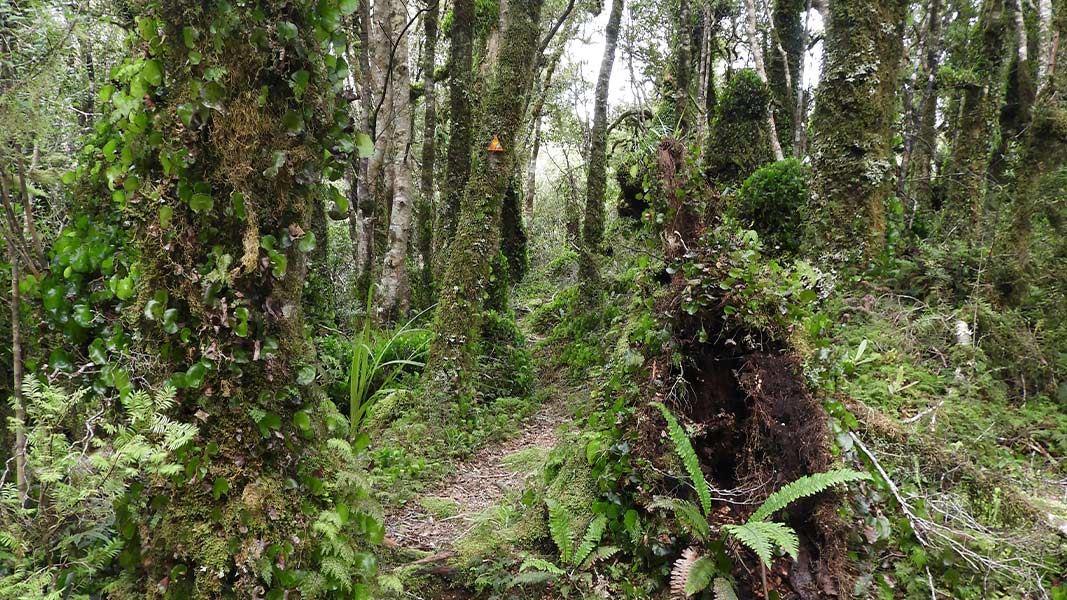
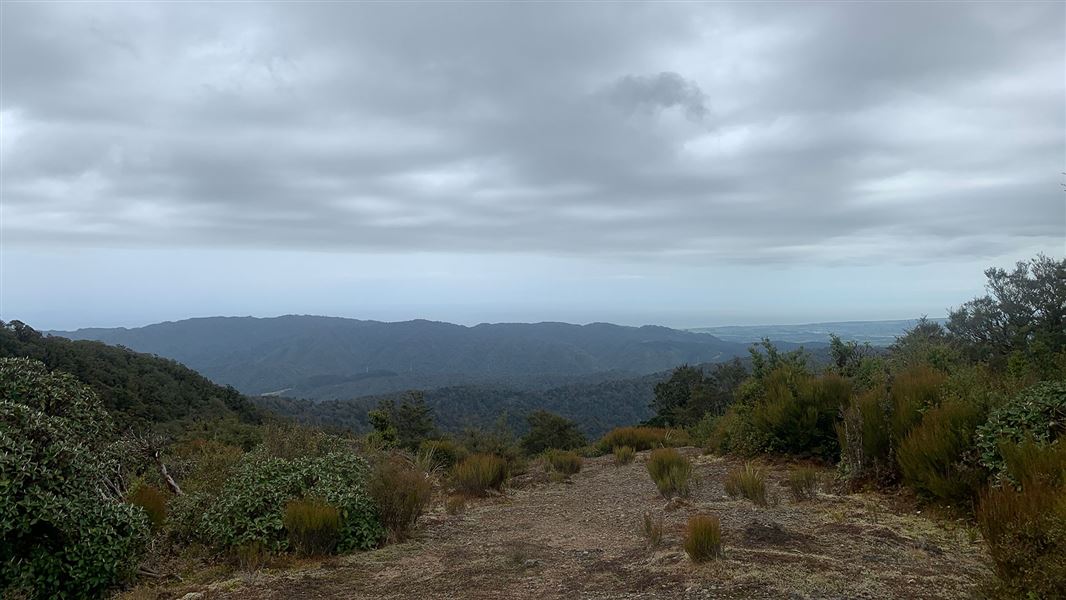
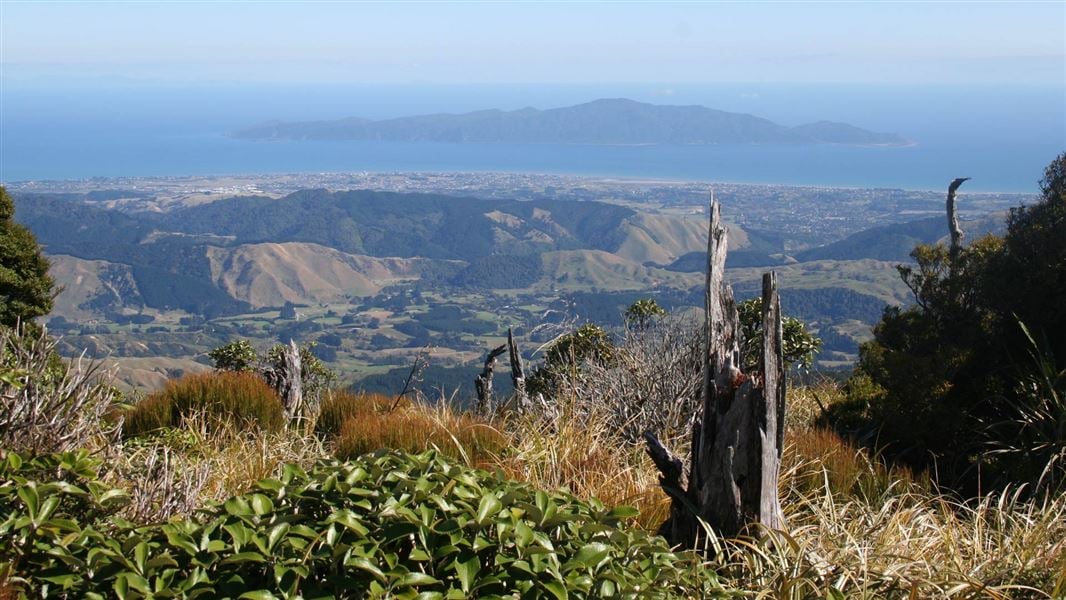
This route crosses the southern end of the Tararua Forest Park, starting at the Akatarawa Saddle and finishing at Kaitoke.
The route
Akatarawa Saddle to Renata Hut
This route begins at Akatarawa Saddle, on the Akatarawa Road between Upper Hutt and Waikanae. Waiotauru 4WD Road (also known as Odlin’s Road) starts on the eastern side of the road at the saddle – follow this road as it leads up into the hills. Be aware that it is shared use and watch for 4WD vehicles. Waiotauru Road leads up a long, winding ridge. Shortly before Maymorn Junction there is a notable slip, which comes right to the edge of the road. At Maymorn Junction, take the ridge track signposted for Renata Hut. The track follows a forested ridge for 1.5 km then arrives at Renata Hut.
Renata Hut to Elder Hut
Time: 4–5 hr
7.5 km Continue along the Renata Ridge Track from Renata Hut. The track climbs gradually to the Renata high point (924 m). From Renata, the track continues to follow Renata Ridge as it loops north, then back again. It climbs towards Elder, reaching Elder Hut just before the Elder high point.
Elder Hut to Alpha Hut
Time: 3–4 hr
5.3 km The track from Elder Hut continues to follow Renata Ridge. It climbs steeply towards the main Tararua Range. The track leaves the bush, and climbs to the Aston high point. Here the track meets the Southern Crossing route. Continue along the Southern Crossing route over Alpha (1361 m) and descend to Alpha Hut, just below the bush line.
Alpha Hut to Kaitoke
Time: 8–9 hr
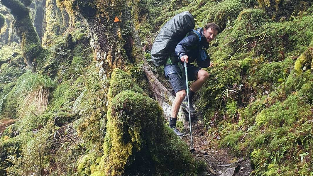
km Continue from Alpha Hut and descend from 1187 m to the saddle at Hells Gate. From there, climb up to Marchant Ridge, passing the Bull Mound, Omega and Block 16 track turn-offs. These tracks into the Tauwharenīkau valley offer alternative routes to Marchant Ridge, but involve a river crossing, which may be dangerous after heavy rainfall. Marchant Ridge is a long stretch of bush that is rough underfoot and muddy when wet, so the pace is usually slower. The section from the Smith Creek Shelter junction along Dobson Loop Track has mobile phone reception. Look carefully for the track turn-off into the Kiwi Ranch Road car park, where the track finishes.
Source: DOC Te Papa Atawhai.
Know before you go
This is a remote tramp, pack to be self-sufficient
Pack to be self-sufficient, including carrying spare food in case of delays, a distress beacon and an emergency shelter. Make sure you carry everything on the tramping packing list . Ensure you are confident with navigation – carry a map and compass or GPS, and know how to use them. You should have experience in backcountry tramping and be confident judging when conditions are safe to proceed and when to wait, camp or turn back.
Assess the weather and be ready to turn back
Frequent freezing temperatures, thick mist and gale-force winds can make the Tararua tops very dangerous. Assess the weather when you leave the bush and consider turning back if you don’t have the experience or equipment for the conditions. Stay aware of the weather through your tramp and watch for changing conditions.
Source: DOC Te Papa Atawhai.
Joins these tracks
Source: DOC Te Papa Atawhai.
On this track
In walking order.
Nearby stops

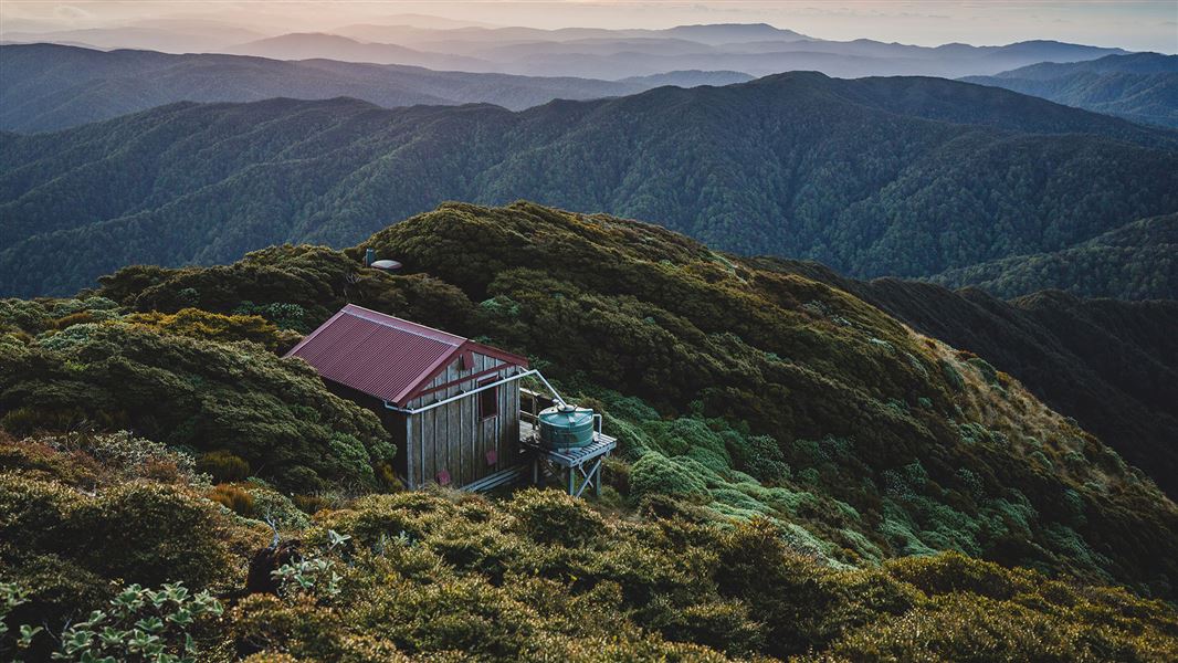
Kime Hut
Standard • 20 bunks • Wellington • 5 km
Kime Hut is a standard 20-bunk hut located in the Wairarapa region. It serves as a shelter on the Southern Crossing trail.
Mattresses • Toilets - non-flush • Water from tap - not treated, boil before use
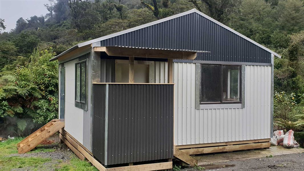
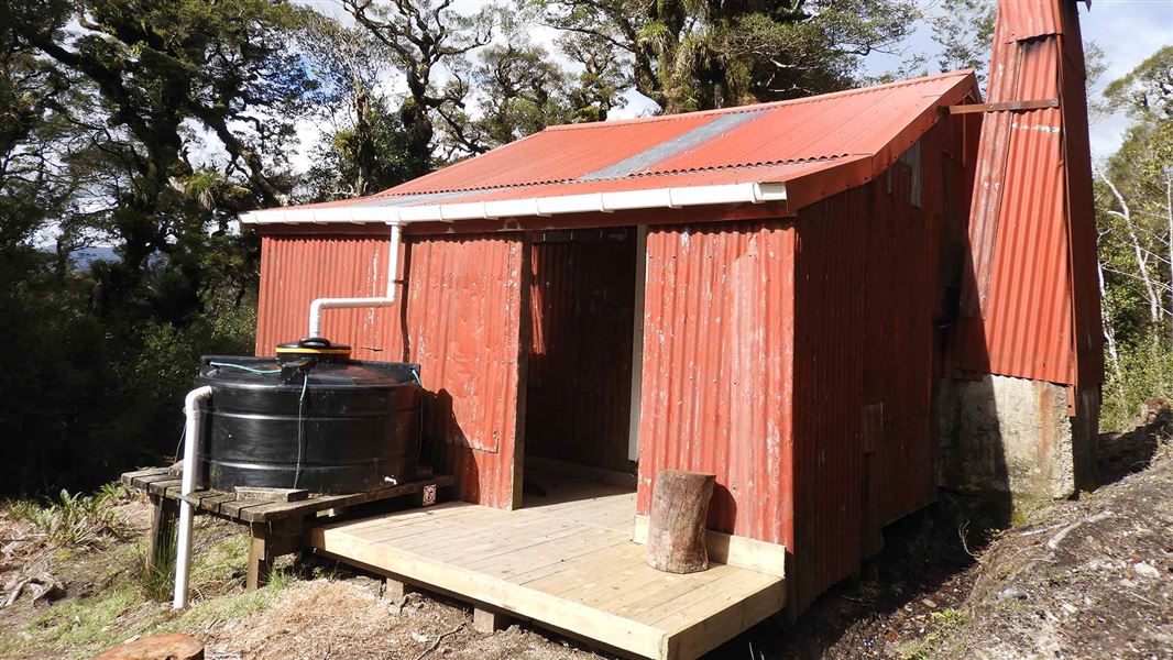
Waiotauru Hut
Basic/bivvies • 4 bunks • Wellington • 5.1 km
Waiotauru Hut is a basic 4-bunk hut located in the Wellington/Kapiti region.
Toilets - non-flush • Water from stream • Water supply
Eastern Hutt Hut
Wellington • 5.6 km
Eastern Hutt Hut is a backcountry hut located in the Wellington region. It provides basic shelter for hikers traversing the local tracks.
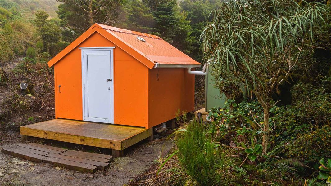
Winchcombe Biv
Basic/bivvies • 2 bunks • Wellington • 7.5 km
Winchcombe Biv is a two-bunk forestry service style bivouac located in the Tararua Forest Park. It includes two mattresses, room for one additional sleeping…
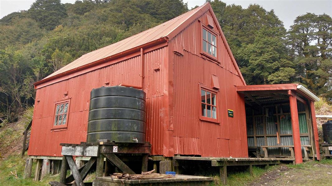
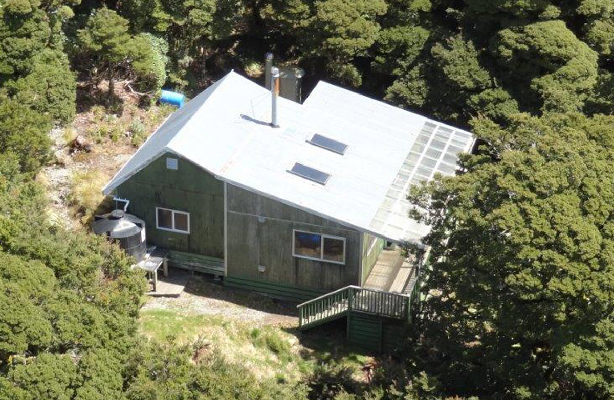
Field Hut
Standard • 20 bunks • Wellington • 7.6 km
Field Hut is a standard 20-bunk hut located in the Kapiti region. It was one of the first purpose built tramping huts in the country and is the oldest…
Heating • Mattresses • Toilets - non-flush
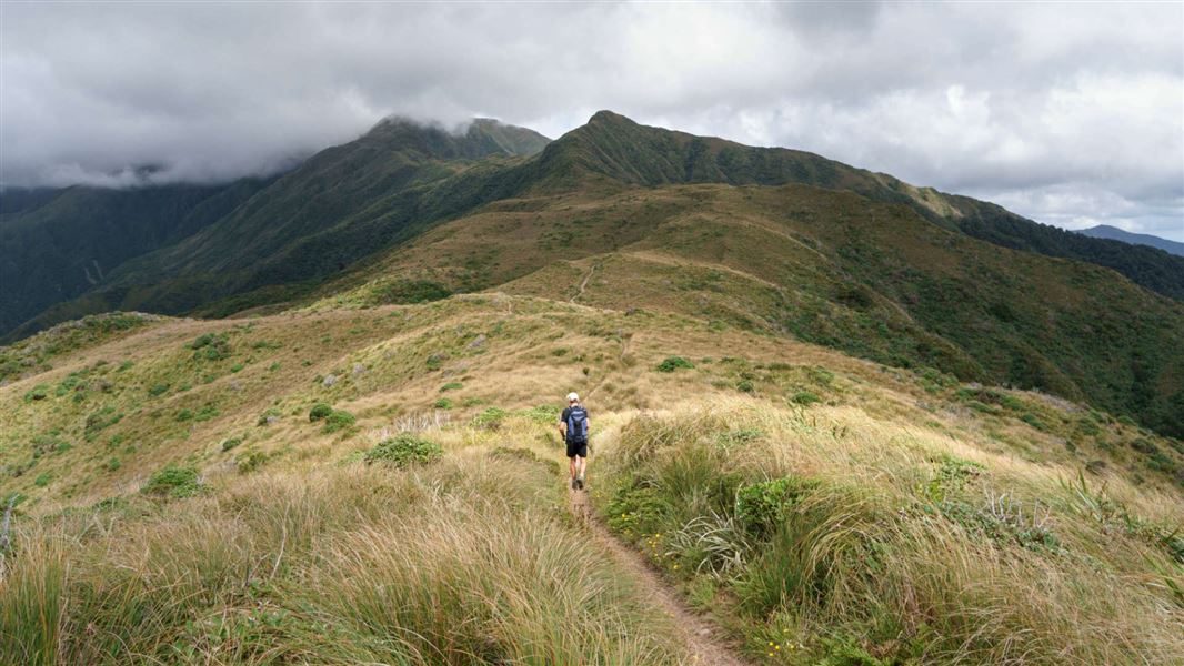
Walks nearby
Notes from people who have been
No notes yet. If you have been, say what you found.
Something missing or out of date?
Closed, moved, wrong facts, or something we have missed? Travellers keep the Road Guide up to date. Tell us what you found at contribute@parkup.nz and we will check it and add it.
Ask us to take this down
A person reads every request. We do not remove a place until we have checked it.
Sources
- DOC Tracks (API) · CC BY 4.0Crown Copyright: Department of Conservation Te Papa Atawhai. Data sourced from the DOC Developer Portal (api.doc.govt.nz).