Fenceline Walk
WalkWellingtonOpen
- Grade
- Easy
- Walking time
- 3 hr 30 min
- Dogs
- Under control
Getting there
We have not checked a road end or car park for this place yet, so we do not give driving directions to it. Check how to get there before you go. Some routes cross private land and need the landowner's permission.
How to get there, on doc.govt.nzŌtaki Forks is 19 km inland from Ōtaki township – approximately 1 hr 30 min drive from Wellington or Palmerston North. The easiest turnoff from SH1 is at Ōtaki Gorge Road, just south of the SH1 bridge over the Ōtaki River.
Source: DOC Te Papa Atawhai.
Map
Map data © OpenStreetMap contributors. Topo map: LINZ, CC BY 4.0. 40.87867° S, 175.22018° E
About this place
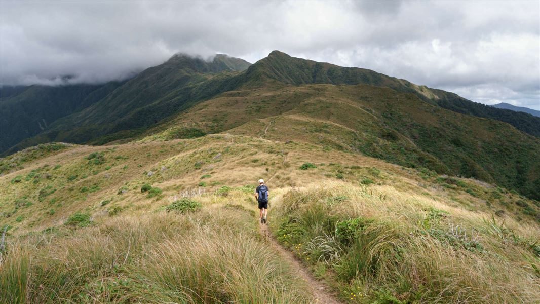
An easy walking track near Ōtaki. This track is part of Te Araroa Trail.
The route
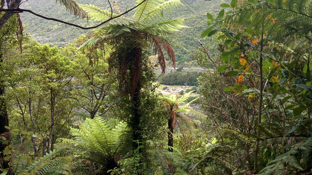
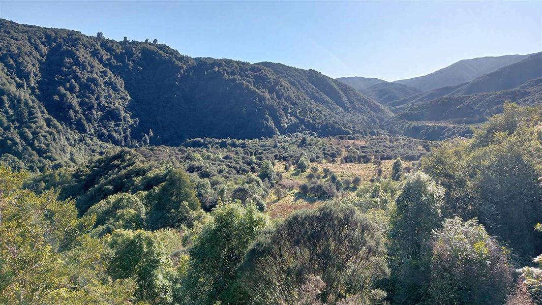
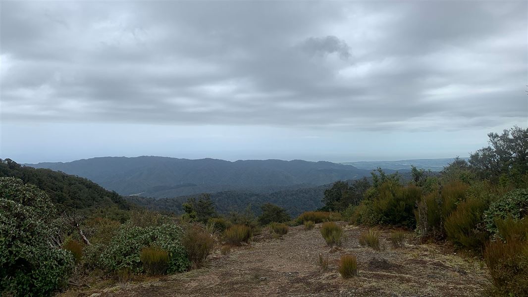
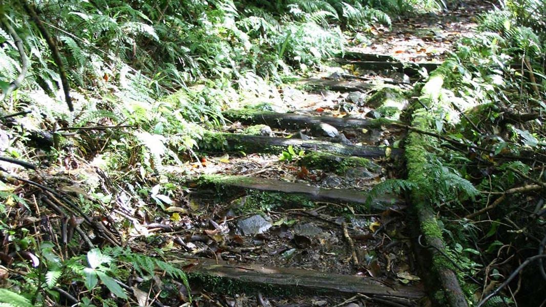
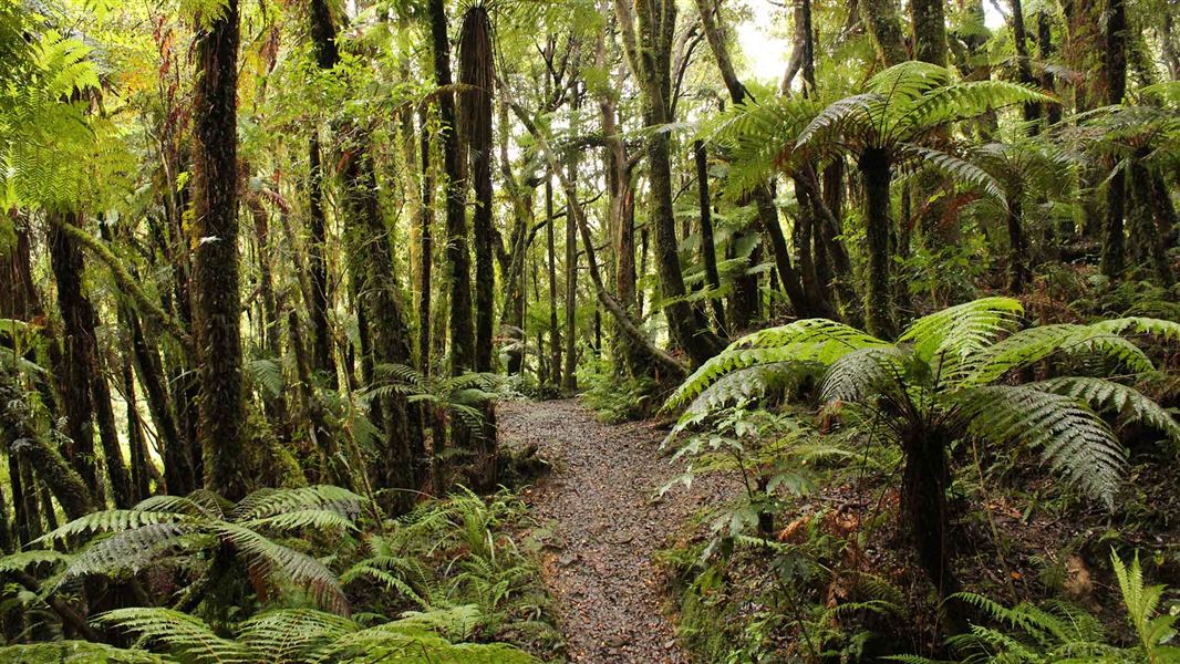
This track is part of Te Araroa Trail . The Fenceline Walk passes through regenerating forest above the Ōtaki Forks campsite and gives some good views of the Waiotauru Valley. The track crosses a slip 10 minutes from the carpark, care should be taken in this area.
Source: DOC Te Papa Atawhai.
Nearby stops
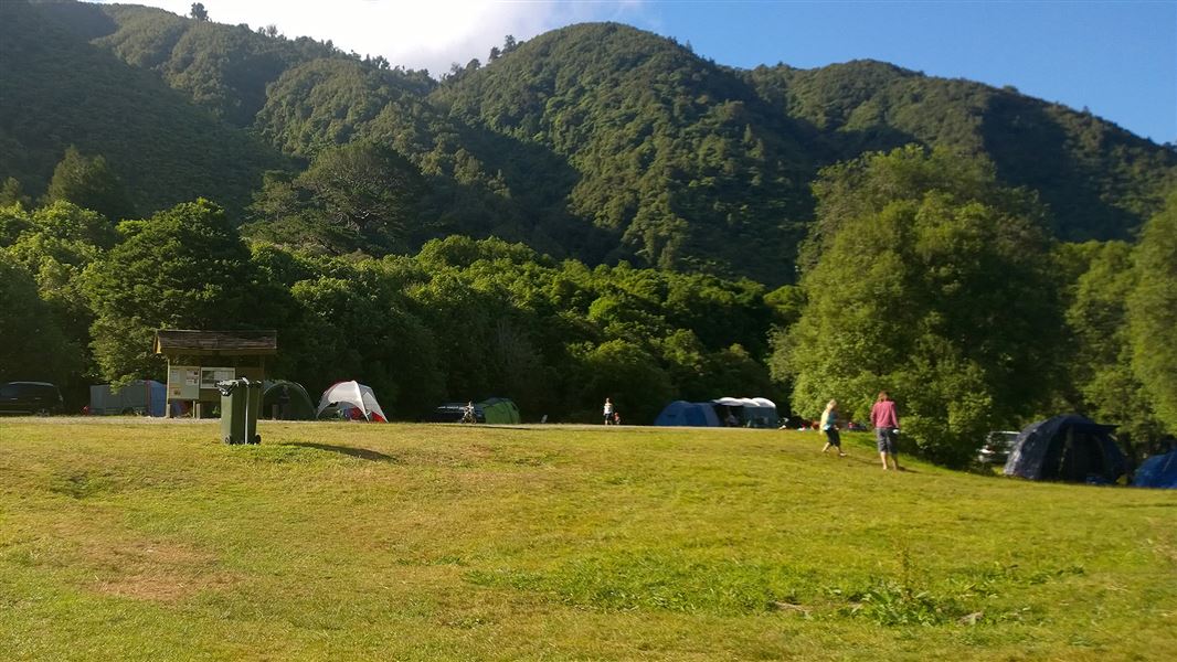
Ōtaki Forks Campsite
Standard • Wellington • 0.4 km
Ōtaki Forks Campsite is a family and dog friendly campsite in the Wellington region, serving as one of the main entrances to Tararua Forest Park. It features…
Non-powered/tent sites • Shelter for cooking • Toilets - flush
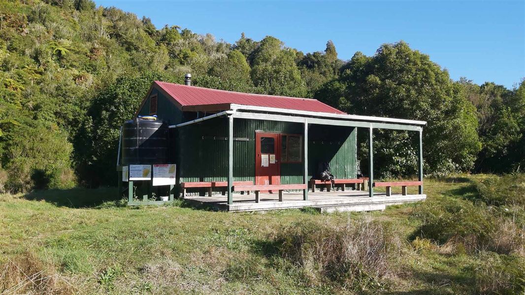
Parawai Lodge
Standard • 18 bunks • Wellington • 1.2 km
Parawai Lodge is a standard 18-bunk hut located in the Kapiti region of Wellington.
Heating • Mattresses • Toilets - non-flush
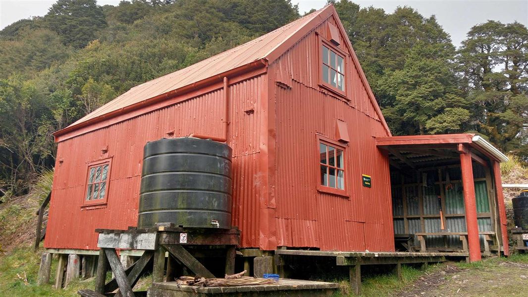
Field Hut
Standard • 20 bunks • Wellington • 4.4 km
Field Hut is a standard 20-bunk hut located in the Kapiti region. It was one of the first purpose built tramping huts in the country and is the oldest…
Heating • Mattresses • Toilets - non-flush
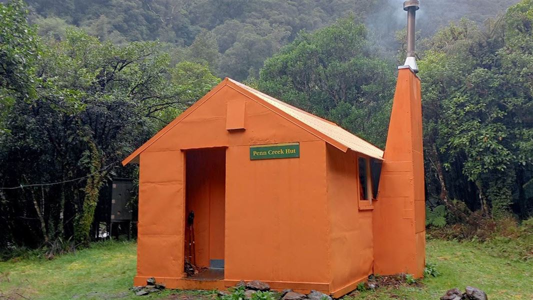
Penn Creek Hut
Standard • 6 bunks • Wellington • 6.1 km
Penn Creek Hut is a standard six-bunk hut located in the Kapiti region of Wellington.
Heating • Mattresses • Toilets - non-flush
Scout Camp
Wellington • 6.1 km
Walks nearby
Notes from people who have been
No notes yet. If you have been, say what you found.
Something missing or out of date?
Closed, moved, wrong facts, or something we have missed? Travellers keep the Road Guide up to date. Tell us what you found at contribute@parkup.nz and we will check it and add it.
Ask us to take this down
A person reads every request. We do not remove a place until we have checked it.
Sources
- DOC Tracks (API) · CC BY 4.0Crown Copyright: Department of Conservation Te Papa Atawhai. Data sourced from the DOC Developer Portal (api.doc.govt.nz).
- DOC Tracks & Trails · CC BY 4.0Data sourced from the Department of Conservation (DOC), New Zealand.