Elder Hut
Standard hutTararua Forest Park, WellingtonOpen
Current advisories
Ungulate control for parts of Tararua Forest Park
03 August 2026
Ungulate (goats, deer, pigs) control work will take place from 10 August 2026 to 30 June 2027. The operation will include both aerial shooting and ground hunting with indicator dogs, thermal drone assistance as well as aerial surveillance and trail cameras for monitoring. The operation is shown on the map in the solid pink and solid yellow buffer zones. Tararua Forest Park ungulate operation area map (PDF, 137K) First published on 22 January 2026. Last reviewed on 4 August 2026.
Predator control for Southern Tararuas
20 May 2026
DOC and OSPRI distributed toxic cereal bait pellets by helicopter in this area on 11 and 23 March 2026. A caution period is in place for approximately 8 months. Visitors are advised not to take dogs into the area until the caution period has ended. 1080 is deadly to dogs. How to keep dogs safe around 1080 . View the distribution map (PDF, 2749K) . View the pesticide summary map First published on 3 March 2026. Last reviewed on 21 May 2026.
Source: DOC Te Papa Atawhai alerts.
- Sleeps
- 4 bunks
- Booking
- Not bookable
- Cost
- from $15
- Heating
- None
- Drinking water
- Boil first
- Toilet
- Non-flush
Getting there
We have not checked a road end or car park for this place yet, so we do not give driving directions to it. Check how to get there before you go. Some routes cross private land and need the landowner's permission.
How to get there, on doc.govt.nzElder Hut is located on Renata Ridge, and can be linked up with Renata, Kime or Alpha Huts.
- Topo map
- Topo50 sheet BP33
- Grid reference
- E1787835, N5461967
Source: DOC Te Papa Atawhai.
Map and tracks
Track lines: DOC Te Papa Atawhai. Map data © OpenStreetMap contributors. Topo map: LINZ, CC BY 4.0. 40.97185° S, 175.23240° E
About this place
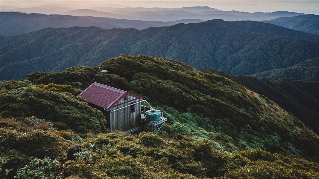
This is a standard four-bunk hut in the Kapiti region.
On the way here
Renata-Alpha Crossing · 3–4 days
Renata Hut to Elder Hut
Time: 4–5 hr
7.5 km Continue along the Renata Ridge Track from Renata Hut. The track climbs gradually to the Renata high point (924 m). From Renata, the track continues to follow Renata Ridge as it loops north, then back again. It climbs towards Elder, reaching Elder Hut just before the Elder high point.
Elder Hut to Alpha Hut
Time: 3–4 hr
5.3 km The track from Elder Hut continues to follow Renata Ridge. It climbs steeply towards the main Tararua Range. The track leaves the bush, and climbs to the Aston high point. Here the track meets the Southern Crossing route. Continue along the Southern Crossing route over Alpha (1361 m) and descend to Alpha Hut, just below the bush line.
Source: DOC Te Papa Atawhai.
Trip options
Walking times come from DOC track descriptions, added up leg by leg from car-accessible trailheads. Nights and return times are ParkUp estimates, allowing about 8 hours of walking a day.
1 option · 1 night
Renata Hut
Walking in
5 hr
Walking out
5 hr to Renata Hut
Source: DOC Te Papa Atawhai track descriptions.
Fees and bookings
Before you go, buy Hut Tickets for each night's stay. Put these in the honesty box at the hut. Or buy a Backcountry Hut Pass that gives unlimited use at most Standard and Serviced huts for a 12 month period. Retailers that sell hut tickets and passes
Source: DOC Te Papa Atawhai.
Nearby stops
Alpha Hut
Standard • 20 bunks • Wellington • 4.4 km
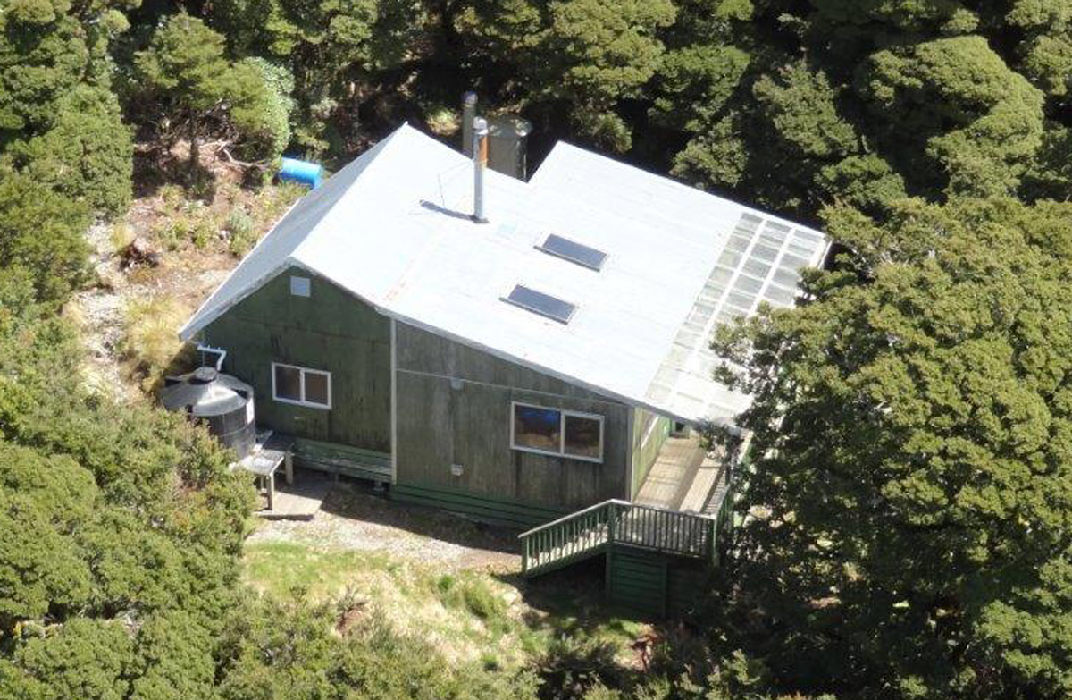
Alpha Hut is a standard 20-bunk hut located in the Wairarapa region.
Heating • Mattresses • Toilets - non-flush
Renata Hut
Basic/bivvies • 6 bunks • Wellington • 5 km
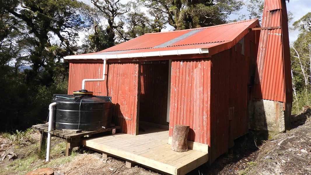
Renata Hut is a basic six-bunk hut located in the Kapiti region of Wellington.
Heating • Toilets - non-flush • Water from tap - not treated, boil before use
Kaitoke Regional Park Campground
Wellington • 10.9 km
Kaitoke Regional Park Campground is a campsite located in the Wellington region. It is situated within the Kaitoke Regional Park, offering a base for visitors…
Walks nearby
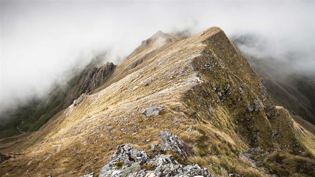
Tararua Southern Crossing
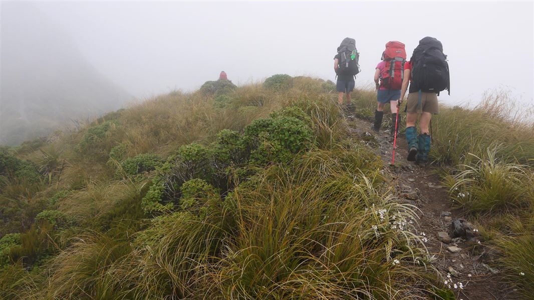
Advanced • 3 days • 3.61 km away
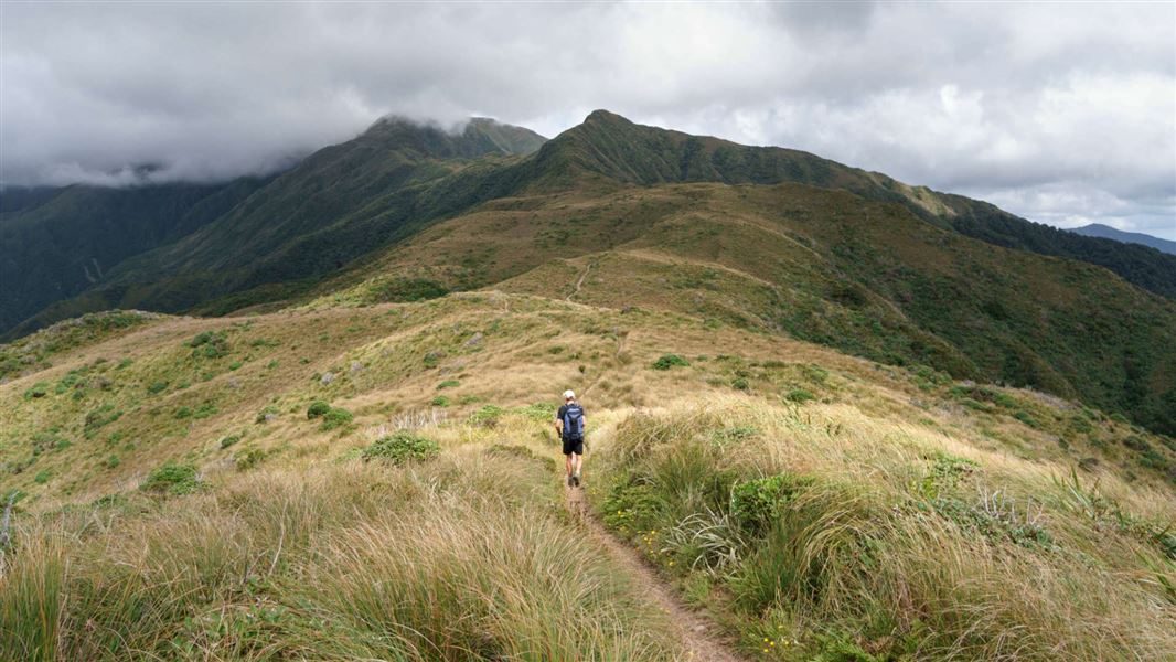
Neill Winchcombe Circuit
Advanced • 3 days • 7.67 km away
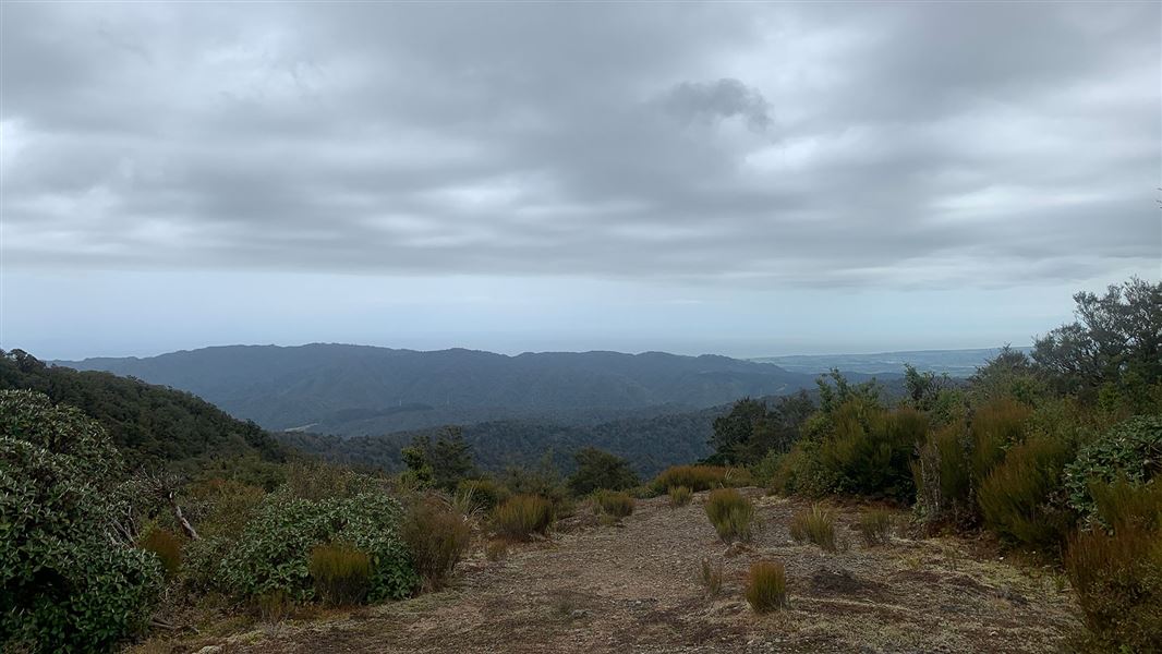
Field Hut and Table Top
Intermediate • 6–7 hr return • 9.04 km away
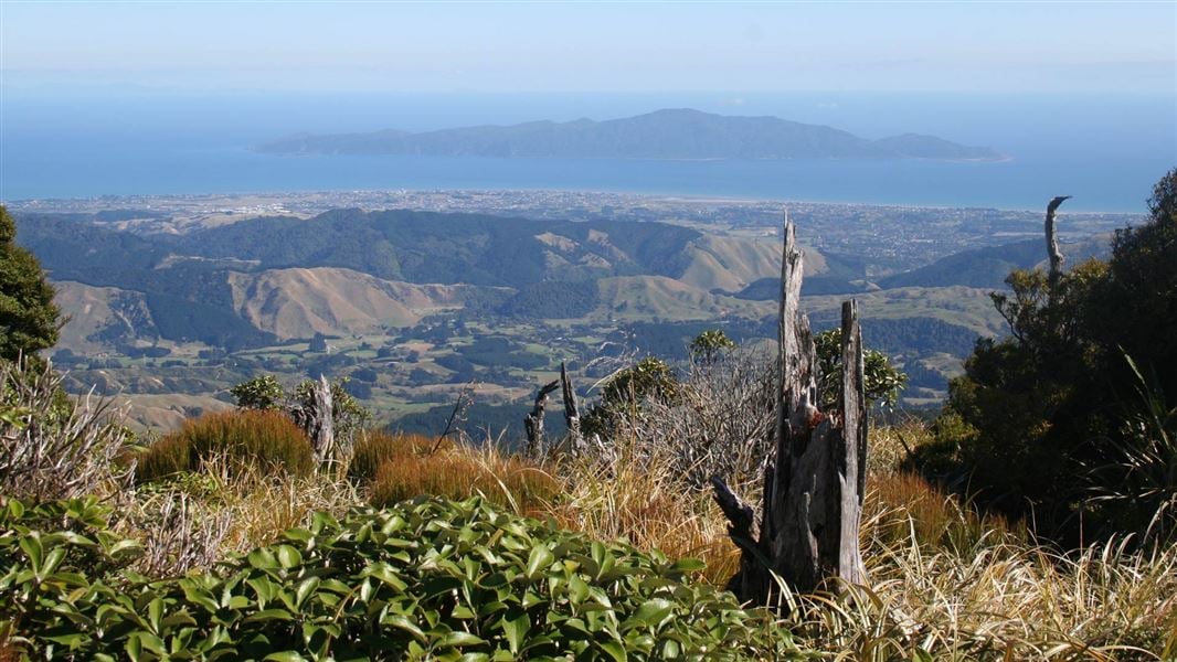
Pukeatua Track
Advanced • 6-7 hr • 14 km • 9.41 km away
Kapakapanui Track
Advanced • 7–9 hr loop from Ngatiawa Rd via summit • 9.94 km away
Contact
Wellington/Kapiti information
Regional DOC service centre.
Notes from people who have been
No notes yet. If you have been, say what you found.
Something missing or out of date?
Closed, moved, wrong facts, or something we have missed? Travellers keep the Road Guide up to date. Tell us what you found at contribute@parkup.nz and we will check it and add it.
Ask us to take this down
A person reads every request. We do not remove a place until we have checked it.
Sources
- OpenStreetMap Huts · ODbL (Open Database License)Contains information from OpenStreetMap, made available under the ODbL.
- DOC Huts · CC BY 4.0Data sourced from the Department of Conservation (DOC), New Zealand.
- DOC Huts (API) · CC BY 4.0Crown Copyright: Department of Conservation Te Papa Atawhai. Data sourced from the DOC Developer Portal (api.doc.govt.nz).