Purity to Kawhatau Base Track
WalkManawatū-Whanganui
- Grade
- Advanced
- Walking time
- 4 days
- Dogs
- No dogs
Access: read before you go
You will need to make transport arrangements as the start and end points of this hike are different. You must make prior arrangements to cross private land at the Purity Hut end of the trip.
There has previously been vehicle access to Kawhatau Base through private land but this access is no longer available. Access is now available via a 9 km walk up the Kawhatau River, starting where the Rangitane Road bridge crosses the Kawhatau River. Beware this route may not be accessible during times of high river flow.
Access to the hut is via a working farm. You need the landowner's permission to walk to Purity Hut from the carpark at the end of Mangakukeke Road.
If your dog has been permitted (check with the landowner when you request access permission) keep it under strict control. Dogs can frighten/injure livestock very quickly.
Visitors must not hunt or bring loaded firearms onto private property, nor use spotlights or light fires.
Source: DOC Te Papa Atawhai.
Getting there
We have not checked a road end or car park for this place yet, so we do not give driving directions to it. Check how to get there before you go. Some routes cross private land and need the landowner's permission.
How to get there, on doc.govt.nzYou will need to make transport arrangements as the start and end points of this hike are different. You must make prior arrangements to cross private land at the Purity Hut end of the trip.
Heading just north from Mangaweka turn right off SH1, cross the Rangitikei River and follow Kawhatau Valley Road. This eventually leads to Upper Kawhatau Valley Road and not far past this turn right onto Mangakukeke Road.
There has previously been vehicle access to Kawhatau Base through private land but this access is no longer available. Access is now available via a 9 km walk up the Kawhatau River, starting where the Rangitane Road bridge crosses the Kawhatau River. Beware this route may not be accessible during times of high river flow.
To get to the Rangitane Road bridge, head just north from Mangaweka and turn right off SH1. Cross the Rangitikei River and follow Kawhatau Valley Road. This eventually leads to Upper Kawhatau Valley Road which becomes Rangitane Road. The bridge is just past the turn off to Smiths Road. Be aware there is no car park.
Access to the hut is via a working farm. You need the landowner's permission to walk to Purity Hut from the carpark at the end of Mangakukeke Road.
Mangakukeke Road End (Purity End Access)
Heading just north from Mangaweka turn right off SH1, cross the Rangitikei River and follow Kawhatau Valley Road. This eventually leads to Upper Kawhatau Valley Road and not far past this turn right onto Mangakukeke Road.
Kawhatau Base (Rangitane Road Access)
There has previously been vehicle access to Kawhatau Base through private land but this access is no longer available. Access is now available via a 9 km walk up the Kawhatau River, starting where the Rangitane Road bridge crosses the Kawhatau River. Beware this route may not be accessible during times of high river flow. To get to the Rangitane Road bridge, head just north from Mangaweka and turn right off SH1. Cross the Rangitikei River and follow Kawhatau Valley Road. This eventually leads to Upper Kawhatau Valley Road which becomes Rangitane Road. The bridge is just past the turn off to Smiths Road. Be aware there is no car park.
Permission needed to access the hut
Access to the hut is via a working farm. You need the landowner's permission to walk to Purity Hut from the carpark at the end of Mangakukeke Road. Contact DOC Manawatū Office for the landowner's contact details. Email the farm owner to request access over the farm – at least 48 hours before your visit.
Source: DOC Te Papa Atawhai.
Map and tracks
Track lines: DOC Te Papa Atawhai. Map data © OpenStreetMap contributors. Topo map: LINZ, CC BY 4.0. 39.84010° S, 176.03995° E
About this place
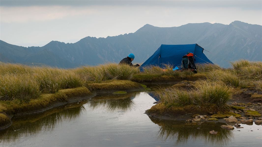
Walk along the tussock tops of the Hikurangi Range between Purity and McKinnon huts in the Ruahine Forest Park.
The route
Mangakukeke Road end to Purity Hut
Time: 3-4 hr
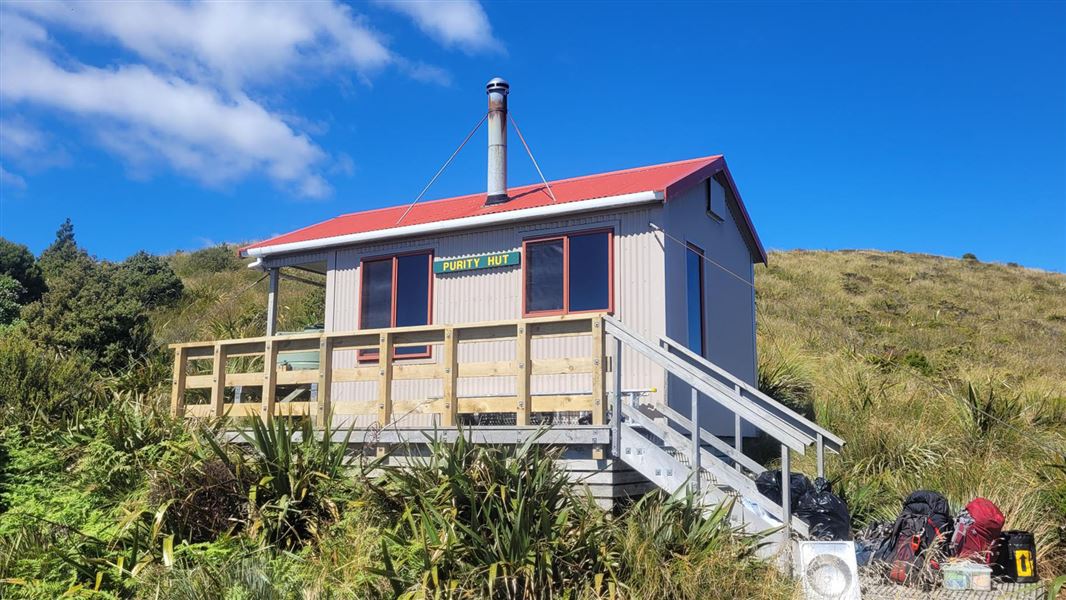
Climb the marked Purity Hut Track through farmland and forest to Purity Hut, nestled above the bushline on the Hikurangi Range.
Purity Hut to McKinnon Hut
Time: 4-6 hr
The track follows on up the a tussock ridge from Purity Hut to Wooden Peg (1672 m). From here turn left along the tops of the range - head northeast to Iron Peg (1703 m) and on past small tarns to Mangaweka Trig (1733 m), the highest point in the Ruahine Forest Park. Travel is then possible right along the open tussock tops of the Hikurangi Range to McKinnon Hut sitting just above the bushline down a short side ridge at the northern end. Some lovely tarns are passed on the way. Due to travel on the unmarked open tops this section should not be attempted in poor visibility or bad weather. Snow can occur any time of year.
McKinnon Hut to Kawhatau Base
Time: 4-6 hr
Walk back on the McKinnon Hut Track along the crest of the Hikurangi Range from McKinnon Hut and down the long ridge to the cableway across the Kawhatau River. Unless the river is up, it is easy to walk across the river here. See guidance on using the cableway under 'Know before you go'. Kawhatau Base
Kawhatau Base to Rangitane Road bridge
Time: 4-6 hr
From Kawhatau Base, go through the gate and down to the Kawhatau River. Head downstream for approximately 9.5 km to the Rangitane Road bridge. Beware this route may not be accessible during times of high river flow.
Source: DOC Te Papa Atawhai.
Know before you go
Hazards
The farm is an active workplace. Hazards change daily and may include moving stock, farm vehicles, electric fences, irrigation equipment, uneven ground, and chemicals used for pest or weed control. Animals may react unpredictably to people, dogs, or sudden movements, even if they appear calm. Always stick to the marked routes Leave gates exactly as you find them Keep well clear of machinery Closely supervise children at all times
Dogs
If your dog has been permitted (check with the landowner when you request access permission) keep it under strict control. Dogs can frighten/injure livestock very quickly.
Firearms prohibited
Visitors must not hunt or bring loaded firearms onto private property, nor use spotlights or light fires.
Sick/dead farm animals
Occasionally, walkers may come across a sick or dead animal on farmland. If this happens to you, do not touch the animal, as there may be disease risks or other hazards. Notify the farmer or land manager as soon as possible.
Ongoing access
Respecting farm rules and reporting concerns helps protect your own safety, supports animal welfare, and ensures farms can continue to be shared responsibly with the public. Abuse of access rights will result in trespass, prosecution and permanent closure of public access.
Using the cableway
A cableway is used to cross rivers on this trip. Take time to read the on-site instructions and familiarise yourself with the operation of the cableway before crossing Use of this cableway carries risks, so follow the operating instructions carefully. It is recommended that you do not use this cableway unless part of a larger party or carrying a personal locator beacon (PLB). Never place your hands on main cable, and keep hands, clothing and long hair clear of all wheels. In the event of an emergency where the carriage becomes stuck, remain where you are and activate your PLB or have your party seek help.
Source: DOC Te Papa Atawhai.
Joins these tracks
Source: DOC Te Papa Atawhai.
On this track
In walking order.

Nearby stops
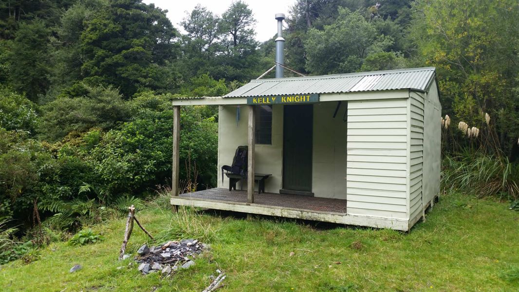
Kelly Knight Hut
Standard • 8 bunks • Manawatū-Whanganui • 1.6 km
Kelly Knight Hut is a standard eight-bunk hut located in the Manawatu region.
Heating • Mattresses • Toilets - non-flush
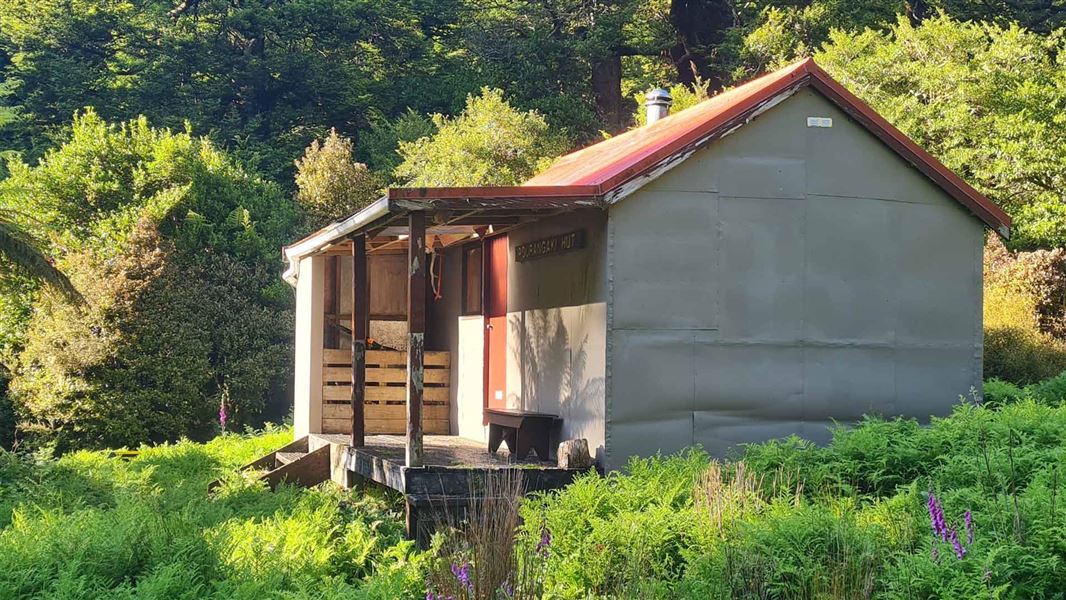
Pourangaki Hut
Standard • 8 bunks • Manawatū-Whanganui • 4.1 km
Pourangaki Hut is a standard eight-bunk hut located in the Manawatu-Whanganui region.
Heating • Mattresses • Toilets - non-flush
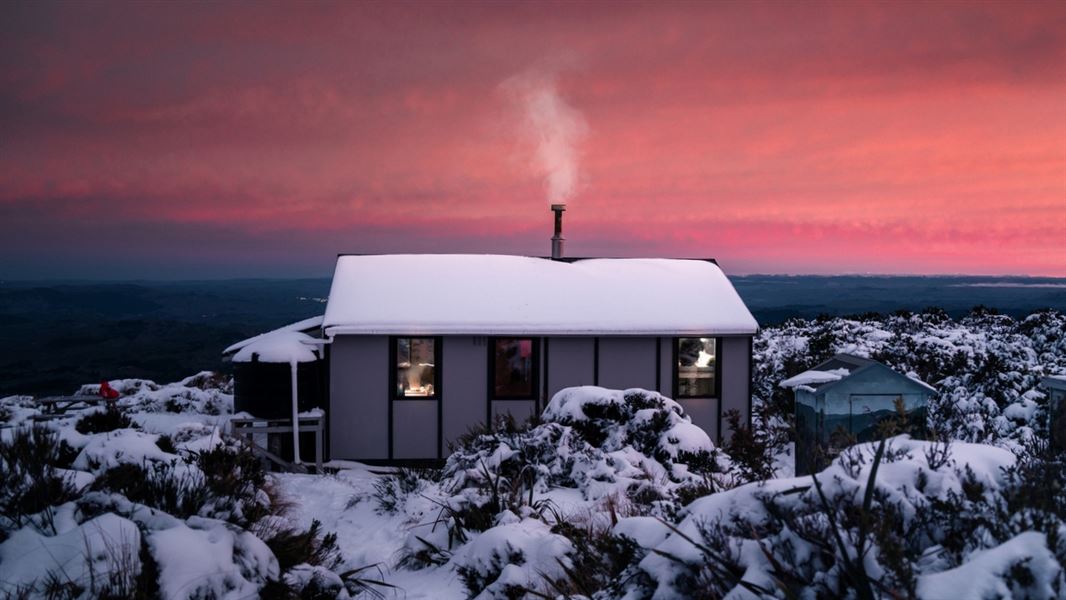
Rangiwahia Hut
Serviced • 13 bunks • Manawatū-Whanganui • 5.9 km
Rangiwahia Hut is a serviced 13-bunk hut located in the Manawatu region.
Heating • Mattresses • Toilets - non-flush
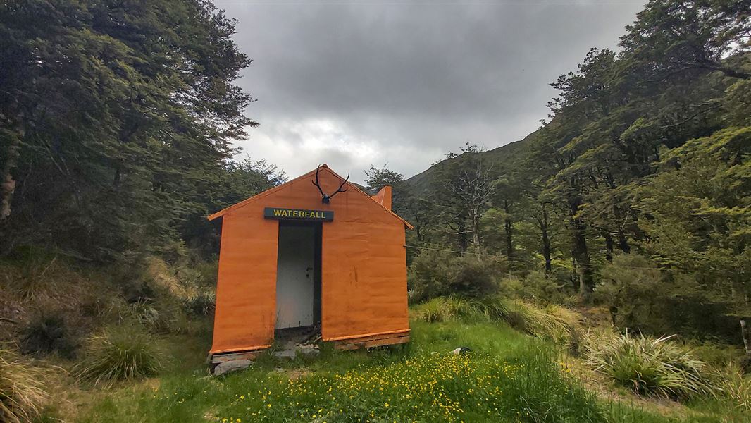
Waterfall Hut
Standard • 6 bunks • Manawatū-Whanganui • 6.5 km
Waterfall Hut is a standard six-bunk hut located in the Manawatu region.
Heating • Mattresses • Toilets - non-flush
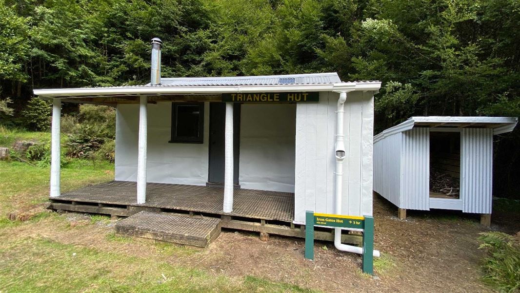
Triangle Hut
Standard • 6 bunks • Manawatū-Whanganui • 7.8 km
Triangle Hut is a standard six-bunk hut located in the Manawatu-Whanganui region.
Heating • Mattresses • Toilets - non-flush
Walks nearby
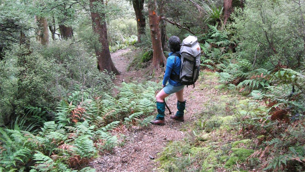
Kelly Knight Hut Track
Advanced • 2 hr 30 min - 3 hr 30 min • 0.64 km away
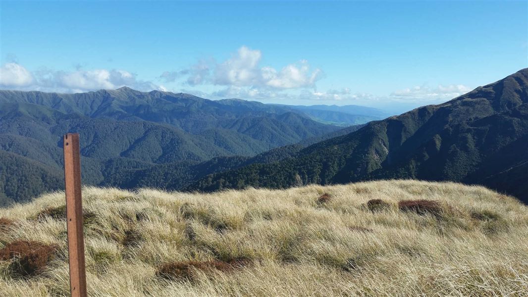
Renfrew Road end to Table Flat Road end
Advanced • 2-3 days • 6.03 km away
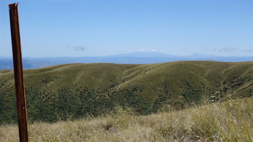
Rangiwahia Hut - Deadmans Track
Advanced • 2 days • 6.16 km away
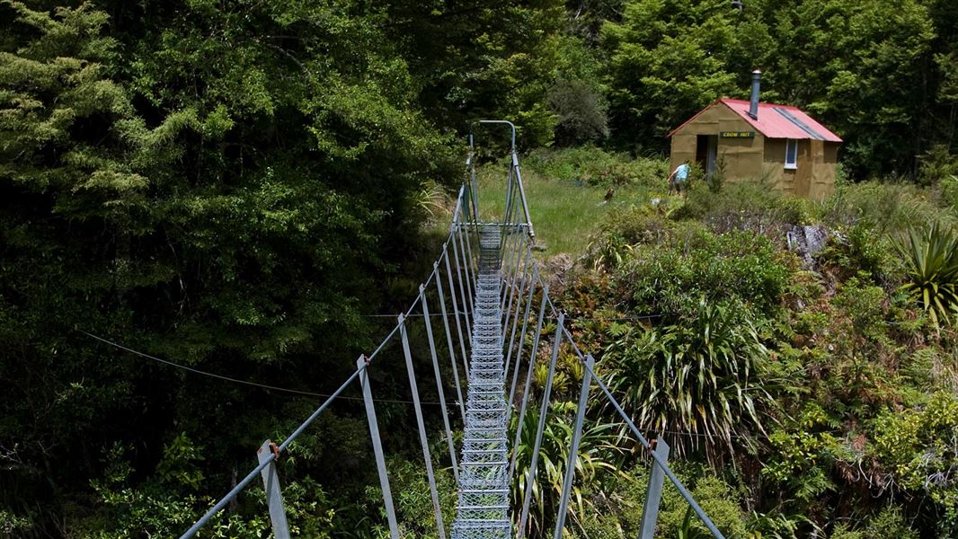
Rangitane Road to Crow Hut Loop Track
Advanced • 3 days • 9.49 km away
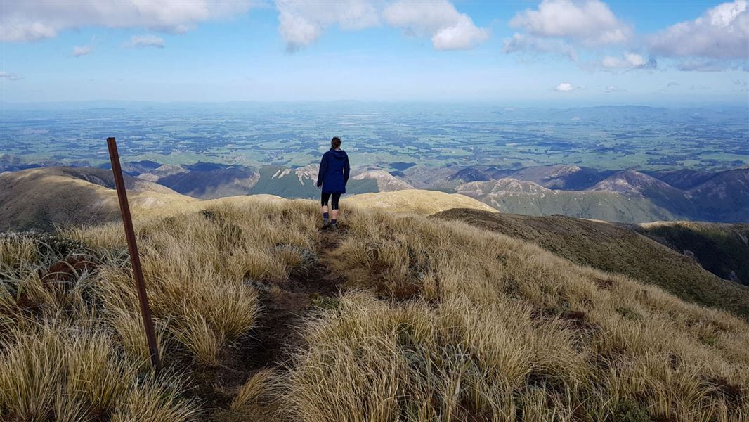
Table Flat - Kashmir Roadend West-East crossing
Advanced • 2-3 days • 11.86 km away
Notes from people who have been
No notes yet. If you have been, say what you found.
Something missing or out of date?
Closed, moved, wrong facts, or something we have missed? Travellers keep the Road Guide up to date. Tell us what you found at contribute@parkup.nz and we will check it and add it.
Ask us to take this down
A person reads every request. We do not remove a place until we have checked it.
Sources
- DOC Tracks (API) · CC BY 4.0Crown Copyright: Department of Conservation Te Papa Atawhai. Data sourced from the DOC Developer Portal (api.doc.govt.nz).