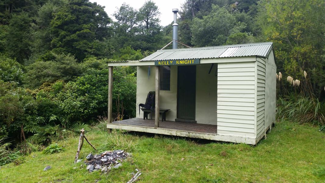
Kelly Knight Hut
Standard hutRuahine Forest Park, Manawatū-WhanganuiOpen
Current advisories
Kelly Knight Hut Track closed
08 June 2026
Kelly Knight Hut Track is closed. The mid-section of this track is not on public conservation land and crosses private property. This is currently under review and until resolved the entire track is closed. This is a long term alert. First published on 11 May 2023. Last reviewed on 9 June 2026.
Source: DOC Te Papa Atawhai alerts.
- Sleeps
- 8 bunks
- Booking
- Not bookable
- Cost
- from $15
- Heating
- Yes
- Drinking water
- Not drinkable
- Toilet
- Non-flush
Getting there
We have not checked a road end or car park for this place yet, so we do not give driving directions to it. Check how to get there before you go. Some routes cross private land and need the landowner's permission.
How to get there, on doc.govt.nzNo track runs directly from the Forest Park boundary to Kelly Knight hut. Expert navigational skills are needed, and caution while exposed to strong winds at the tops of the range.
Access the hut is via Mania Road, Rangiwahia and takes about 8 hours on foot. Park at the road end and follow the Mania Road To Whanahuia Range track to the end of the track.
From here the track ends, and there are no track markers or signage.
Walk along the tops to the Maungahue High Point then follow the tops to meet the Kelly Knight Hut to Pourangaki Hut track.
Follow the track northwest to reach the hut. The walk on the tops are exposed and strong winds are common – caution is required.
- Topo map
- Topo50 sheet BL36
- Grid reference
- E1861210, N5584410
Source: DOC Te Papa Atawhai.
Map and tracks
Track lines: DOC Te Papa Atawhai. Map data © OpenStreetMap contributors. Topo map: LINZ, CC BY 4.0. 39.85015° S, 176.05311° E
About this place
This is a standard eight-bunk hut in the Manawatu.
On the way here
Kelly Knight Hut Track · 2 hr 30 min - 3 hr 30 min
There are several slips along the Kelly Knight Track to Kelly Knight Hut. For your safety, use the marked detours that are in place.
At times the track is narrow with steep drops to the river. Nearer to the hut a track off to the left heads up to the Hikurangi Range with options of heading to Purity or Waterfall Huts. A short distance further on a swingbridge (difficult for small children) crosses the Pourangaki River and Kelly Knight Hut is reached.
Purity - Kelly Knight Hut Loop Track · 2-3 days
Day 2: Purity Hut to Kelly Knight Hut
Time: 4–5 hr
The track follows on up a tussock ridge from Purity Hut to Wooden Peg (1672 m). From here a roughly poled route heads south, then descends through forest to Kelly Knight Hut in the Pourangaki River valley. Due to travel on the open tops this section should not be attempted in poor visibility or bad weather.
Day 3: Kelly Knight Hut to Mangakukeke Roadend
Time: 3 hr 30 min – 4 hr 30 min
Walk the sidle Kelly Knight Track out from Kelly Knight Hut to the entrance point on Kohunui Station and then follow the farm road back out to the Purity carpark.
Source: DOC Te Papa Atawhai.
Fees and bookings
Before you go, buy Hut Tickets for each night's stay. Put these in the honesty box at the hut. Or buy a Backcountry Hut Pass that gives unlimited use at most Standard and Serviced huts for a 12 month period. Retailers that sell hut tickets and passes
Source: DOC Te Papa Atawhai.
On these tracks
Source: DOC Te Papa Atawhai.
Nearby stops
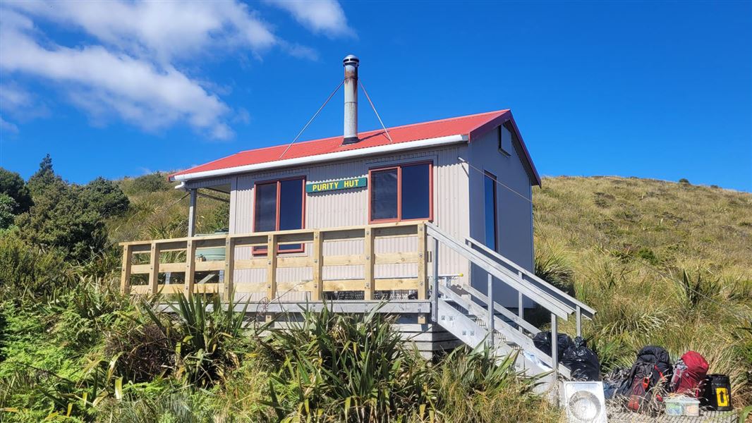
Purity Hut
Standard • 6 bunks • Manawatū-Whanganui • 3.3 km
Purity Hut is a standard six-bunk hut located in the Manawatu region.
Heating • Mattresses • Toilets - non-flush
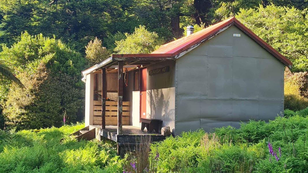
Pourangaki Hut
Standard • 8 bunks • Manawatū-Whanganui • 2.5 km
Pourangaki Hut is a standard eight-bunk hut located in the Manawatu-Whanganui region.
Heating • Mattresses • Toilets - non-flush
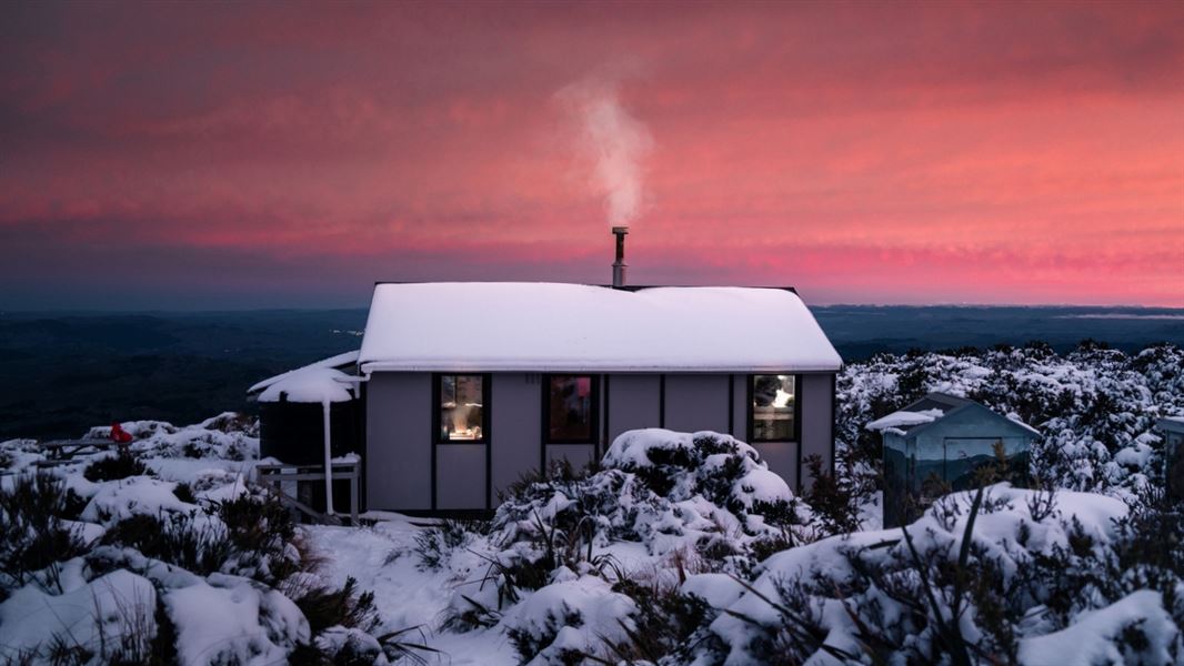
Rangiwahia Hut
Serviced • 13 bunks • Manawatū-Whanganui • 5.4 km
Rangiwahia Hut is a serviced 13-bunk hut located in the Manawatu region.
Heating • Mattresses • Toilets - non-flush
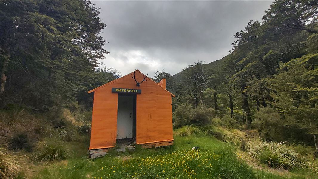
Waterfall Hut
Standard • 6 bunks • Manawatū-Whanganui • 5.7 km
Waterfall Hut is a standard six-bunk hut located in the Manawatu region.
Heating • Mattresses • Toilets - non-flush
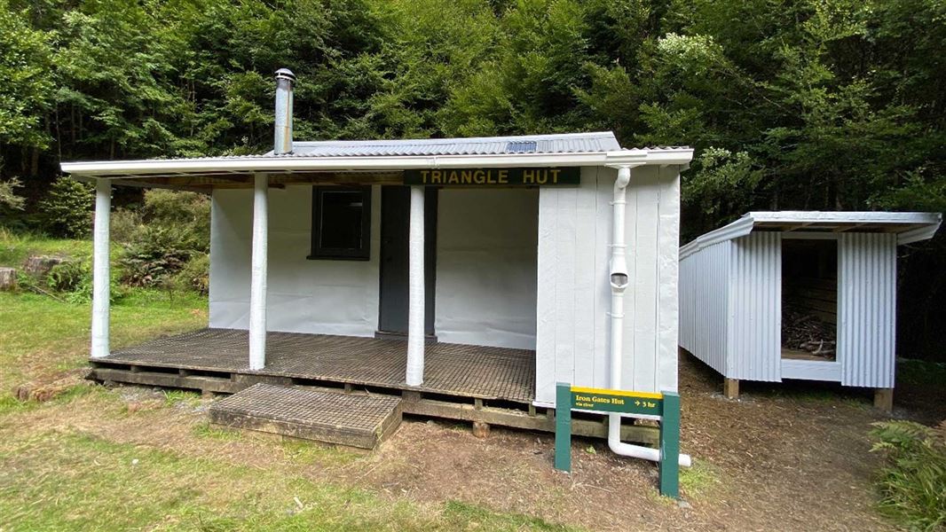
Triangle Hut
Standard • 6 bunks • Manawatū-Whanganui • 6.3 km
Triangle Hut is a standard six-bunk hut located in the Manawatu-Whanganui region.
Heating • Mattresses • Toilets - non-flush
Walks nearby
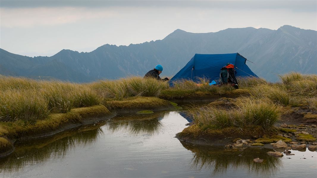
Purity to Kawhatau Base Track
Advanced • 3-4 days • 1.58 km away
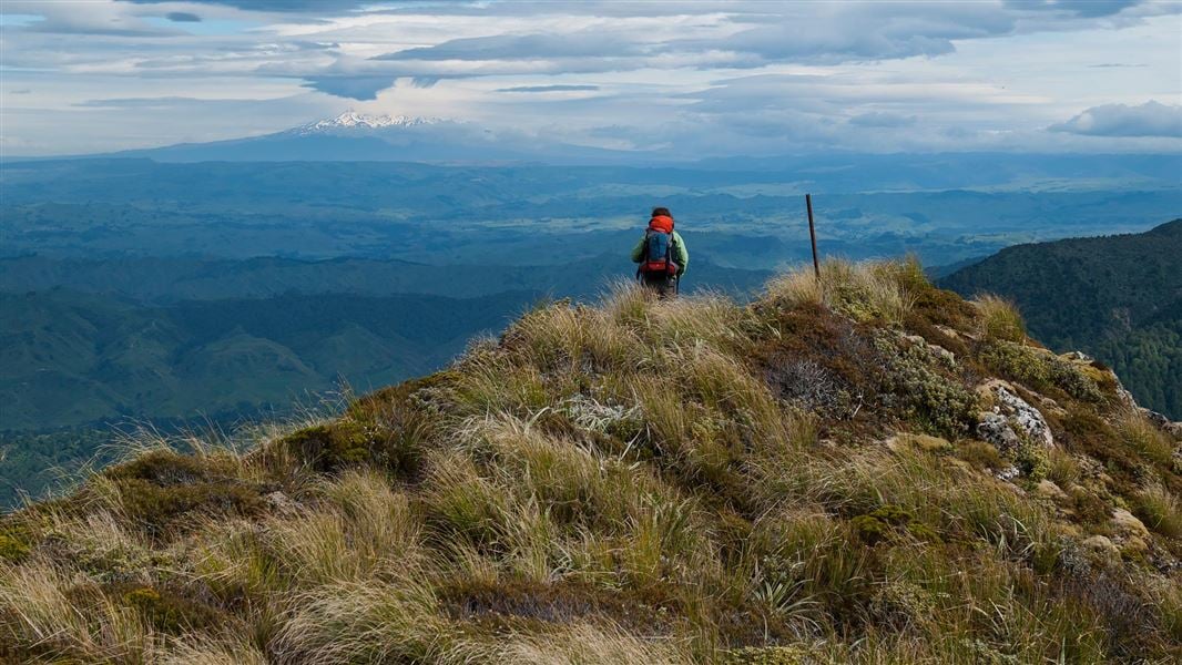
Purity Hut Track
Advanced • 3 - 4 hr • 4.22 km away
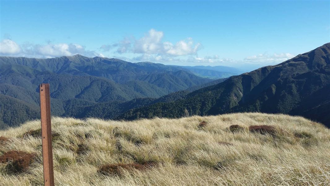
Renfrew Road end to Table Flat Road end
Advanced • 2-3 days • 5.23 km away
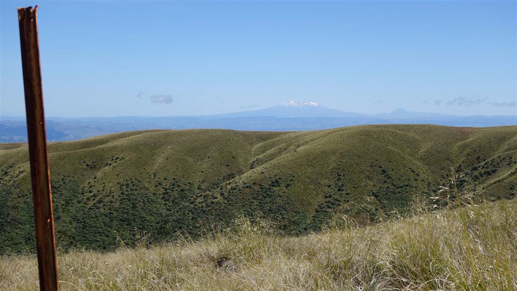
Rangiwahia Hut - Deadmans Track
Advanced • 2 days • 5.58 km away
McKinnon Hut Track
Advanced • 8 - 10 hr • 9.09 km away
Contact
DOC Customer Service Centre
Regional DOC service centre.
Notes from people who have been
No notes yet. If you have been, say what you found.
Something missing or out of date?
Closed, moved, wrong facts, or something we have missed? Travellers keep the Road Guide up to date. Tell us what you found at contribute@parkup.nz and we will check it and add it.
Ask us to take this down
A person reads every request. We do not remove a place until we have checked it.
Sources
- OpenStreetMap Huts · ODbL (Open Database License)Contains information from OpenStreetMap, made available under the ODbL.
- DOC Huts · CC BY 4.0Data sourced from the Department of Conservation (DOC), New Zealand.
- DOC Huts (API) · CC BY 4.0Crown Copyright: Department of Conservation Te Papa Atawhai. Data sourced from the DOC Developer Portal (api.doc.govt.nz).