McKinnon Hut Track
WalkManawatū-Whanganui
- Grade
- Advanced
- Walking time
- 10 hr
- Dogs
- DOC permit only
Access: read before you go
Access through private land at Rangitane Road end is no longer available. Access to the McKinnon Hut Track is now available via the Kawhatau River, starting at the Rangitane Road bridge.
Source: DOC Te Papa Atawhai.
Getting there
We have not checked a road end or car park for this place yet, so we do not give driving directions to it. Check how to get there before you go. Some routes cross private land and need the landowner's permission.
How to get there, on doc.govt.nzAccess through private land at Rangitane Road end is no longer available. Access to the McKinnon Hut Track is now available via the Kawhatau River, starting at the Rangitane Road bridge.
To get to the Rangitane Road bridge, head north from Mangaweka and turn right off SH1. Cross the Rangitikei River and follow Kawhatau Valley Road. This eventually leads to Upper Kawhatau Valley Road which becomes Rangitane Road. The bridge is just past the turn off to Smiths Road. There is no car park.
Source: DOC Te Papa Atawhai.
Map and tracks
Track lines: DOC Te Papa Atawhai. Map data © OpenStreetMap contributors. Topo map: LINZ, CC BY 4.0. 39.76844° S, 176.05358° E
Got a good photo of this place? Send it to us and we will show it with your name.
About this place
Perched on the northern end of the Hikurangi Range in Ruahine Forest Park, McKinnon Hut is accessed via a long ridge climbing up from the Kawhatau Valley. Stay a night and return the same way.
The route
Walk approximately 8 km up the Kawhatau River. The track to McKinnon Hut begins on the true left of the river with a steep climb up the ridge. This eventually takes you to the tussock tops of the Hikurangi Range. Continue past the turnoff to Crow Hut then drop down to McKinnon Hut. Alternatively, you can make the trip over two days. To do this, continue on in the river for another 1.5 km and spend a night at Kawhatau Base, before crossing the river and heading up the ridge to the McKinnon Hut Track. Beware, this trip may not be possible during times of high river flow. Due to travel on the open tops this hike should not be attempted in poor visibility or bad weather.
Source: DOC Te Papa Atawhai.
On this track
In walking order.

Nearby stops
Kawhatau Base
Manawatū-Whanganui • 1.3 km
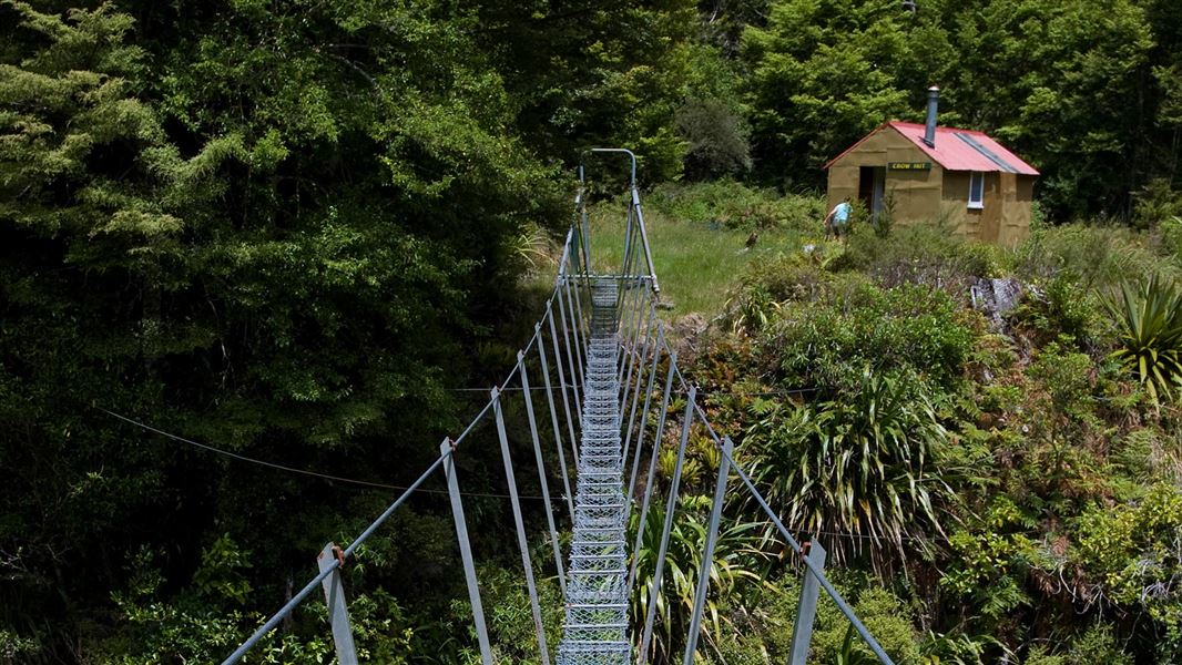
Crow Hut
Standard • 6 bunks • Manawatū-Whanganui • 2.7 km
Crow Hut is a standard six-bunk hut located in the Manawatu region.
Heating • Mattresses • Toilets - non-flush
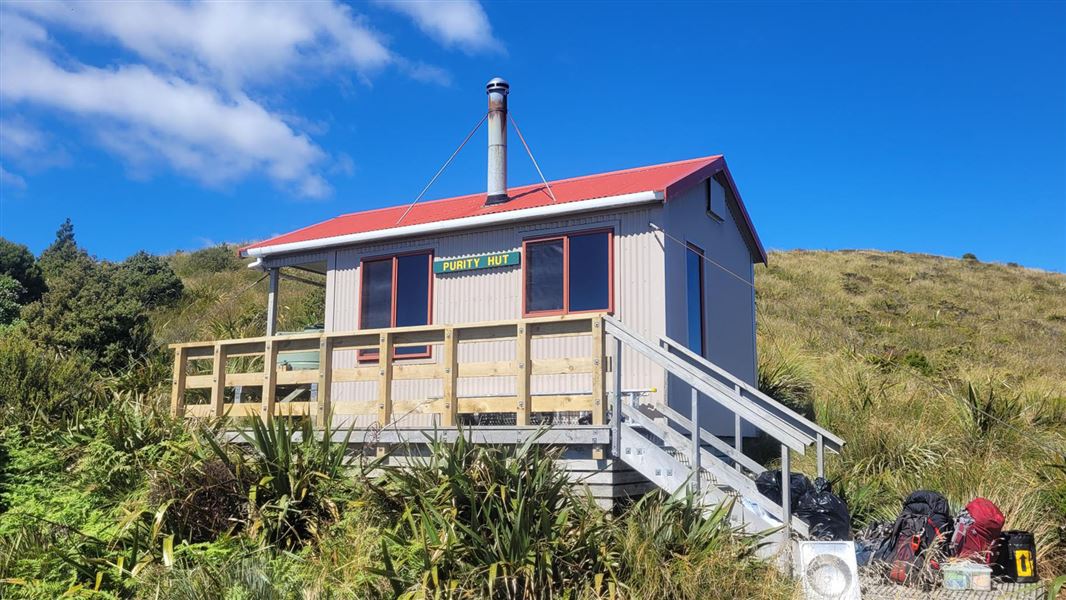
Purity Hut
Standard • 6 bunks • Manawatū-Whanganui • 5.8 km
Purity Hut is a standard six-bunk hut located in the Manawatu region.
Heating • Mattresses • Toilets - non-flush
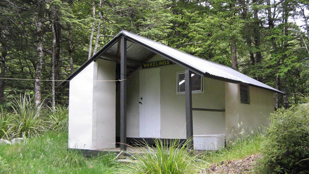
Wakelings Hut
Standard • 4 bunks • Manawatū-Whanganui • 6.7 km
Wakelings Hut is a standard four-bunk hut located in the Manawatu region.
Heating • Mattresses • Toilets - non-flush
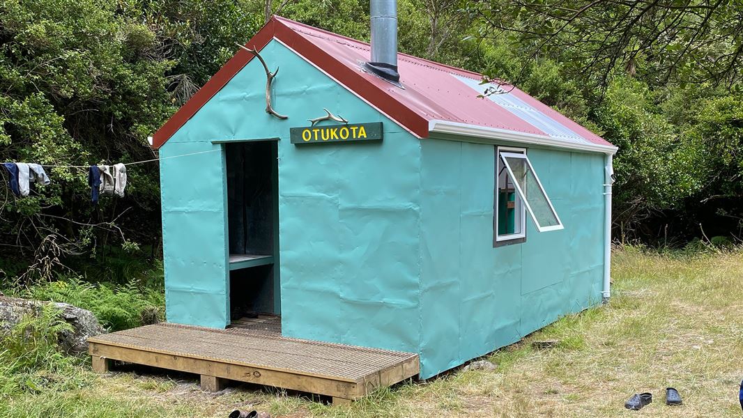
Otukota Hut
Standard • 6 bunks • Manawatū-Whanganui • 7.7 km
Otukota Hut is a standard six-bunk hut located in the Manawatu region.
Heating • Mattresses • Toilets - non-flush
Walks nearby
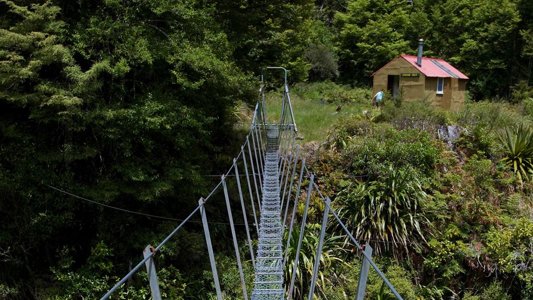
Rangitane Road to Crow Hut Loop Track
Advanced • 3 days • 1.67 km away
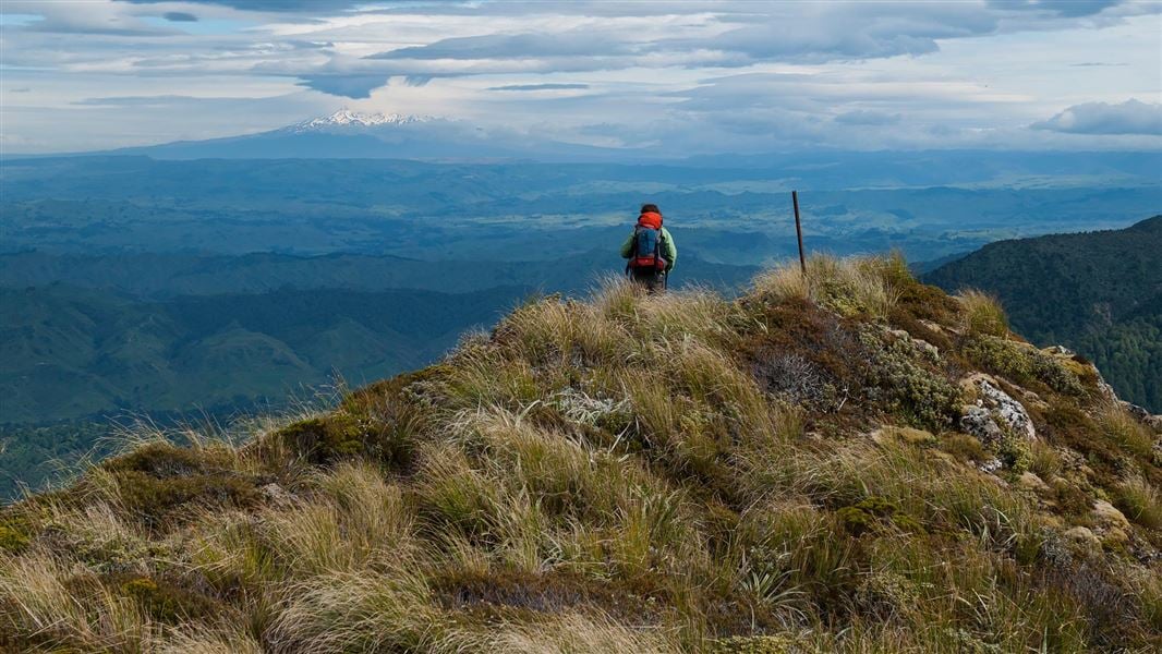
Purity Hut Track
Advanced • 3 - 4 hr • 5.3 km away
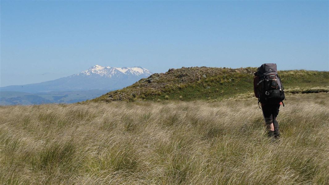
Mokai Road End to Otukota Hut
Advanced • 4-5 hr • 7.67 km away
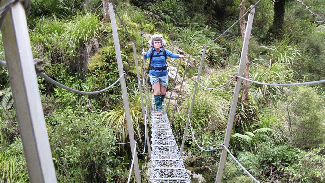
Purity - Kelly Knight Hut Loop Track
Advanced • 2-3 days • 8.05 km away
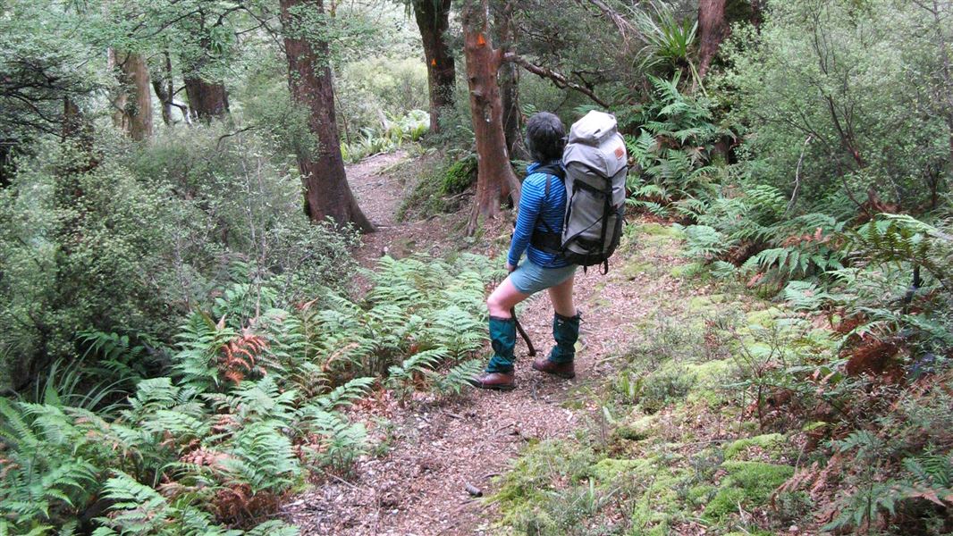
Kelly Knight Hut Track
Advanced • 2 hr 30 min - 3 hr 30 min • 8.37 km away
Notes from people who have been
No notes yet. If you have been, say what you found.
Something missing or out of date?
Closed, moved, wrong facts, or something we have missed? Travellers keep the Road Guide up to date. Tell us what you found at contribute@parkup.nz and we will check it and add it.
Ask us to take this down
A person reads every request. We do not remove a place until we have checked it.
Sources
- DOC Tracks (API) · CC BY 4.0Crown Copyright: Department of Conservation Te Papa Atawhai. Data sourced from the DOC Developer Portal (api.doc.govt.nz).