Crow Hut
Standard hutRuahine Forest Park, Manawatū-WhanganuiOpen
- Sleeps
- 6 bunks
- Booking
- Not bookable
- Cost
- from $15
- Heating
- Yes
- Drinking water
- Not drinkable
- Toilet
- Non-flush
Getting there
We have not checked a road end or car park for this place yet, so we do not give driving directions to it. Check how to get there before you go. Some routes cross private land and need the landowner's permission.
How to get there, on doc.govt.nzVehicle access to Kawhatau Base through private land is no longer available.
Access is now by walking up the Kawhatau River from the Rangitane road bridge across the Kawhatau River. Please note this route may not be accessible during times of high river flow.
To get to the Rangitane road bridge, head just north from Mangaweka and turn right off SH1. Cross the Rangitikei River and follow Kawhatau Valley Road. This eventually leads to Upper Kawhatau Valley Road which becomes Rangitane Road.
- Topo map
- Topo50 sheet BK36
- Grid reference
- E1864192, N5593531
Source: DOC Te Papa Atawhai.
Map and tracks
Track lines: DOC Te Papa Atawhai. Map data © OpenStreetMap contributors. Topo map: LINZ, CC BY 4.0. 39.76698° S, 176.08516° E
About this place
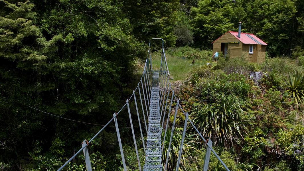
This is a standard six-bunk hut in the Manawatu.
On the way here
Rangitane Road to Crow Hut Loop Track · 3 days
Colenso Trig to Crow Hut
Time: 6 - 8 hr
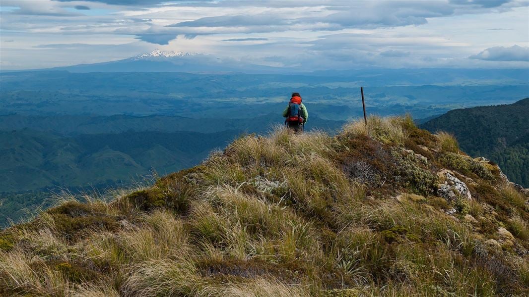
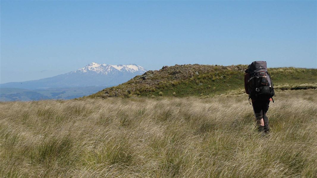
Continue on up the worn track through tussock for about one hour to the tops of the Mokai Patea Range. Turn right and choose a path along the tops through alpine vegetation and bogs till you reach the very steep and slightly hair-raising poled ridge down to Crow Hut. Take extreme care on the top section of this ridge. The track heads back into forest and at the end drops steeply into the Kawhatau River. Negotiate a small bluff before rejoining a track along to the swingbridge crossing the river just before Crow Hut. Due to travel on the unmarked open tops this section should not be attempted in poor visibility or bad weather. Snow can occur any time of year.
Crow Hut to Rangitane Road
Time: 8-9 hr
From the hut a steep track climbs steadily for 3 - 4 hr to the northern end of the Hikurangi Range. Here it joins the poled route down from McKinnon Hut and descends the ridge down to the Kawhatau River. Walk downstream for approximately 9.5 km to the starting point at Rangitane Road bridge.
Source: DOC Te Papa Atawhai.
Trip options
Walking times come from DOC track descriptions, added up leg by leg from car-accessible trailheads. Nights and return times are ParkUp estimates, allowing about 8 hours of walking a day.
1 option · 1 night
Colenso Trig
Walking in
8 hr
Walking out
8 hr to Colenso Trig
Source: DOC Te Papa Atawhai track descriptions.
Fees and bookings
Before you go, buy Hut Tickets for each night's stay. Put these in the honesty box at the hut. Or buy a Backcountry Hut Pass that gives unlimited use at most Standard and Serviced huts for a 12 month period. Retailers that sell hut tickets and passes
Source: DOC Te Papa Atawhai.
Nearby stops
Crow Hut
Standard • 12 bunks • West Coast • 349.5 km
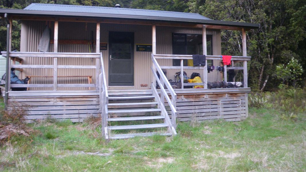
Crow Hut is a standard 12-bunk hut located in the Motueka area.
Heating • Mattresses • Toilets - non-flush
Anti Crow Hut
Standard • 8 bunks • Canterbury • 524.1 km
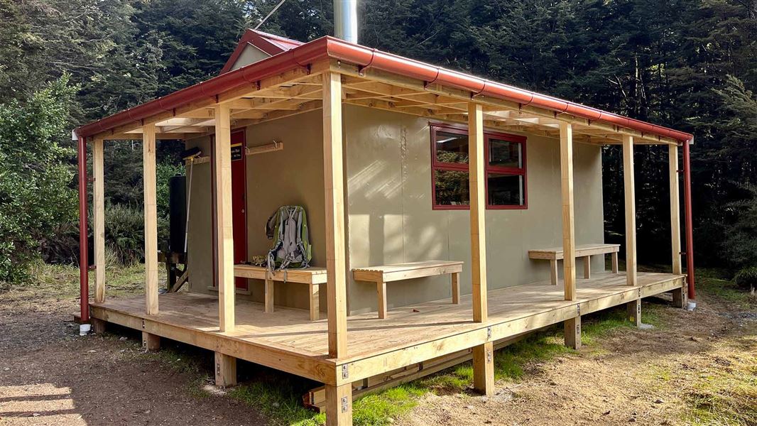
Anti Crow Hut is a standard eight-bunk hut located in the North Canterbury and Arthur's Pass area of Canterbury.
Heating • Mattresses • Toilets - non-flush

McKinnon Hut
Standard • 6 bunks • Manawatū-Whanganui • 1.8 km
McKinnon Hut is a standard six-bunk hut located in the Manawatu region.
Heating • Mattresses • Toilets - non-flush
Kawhatau Base
Manawatū-Whanganui • 3.7 km
Wakelings Hut
Standard • 4 bunks • Manawatū-Whanganui • 4 km
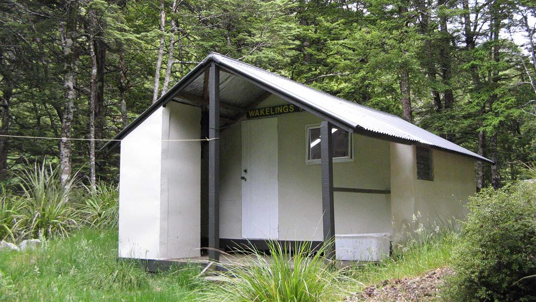
Wakelings Hut is a standard four-bunk hut located in the Manawatu region.
Heating • Mattresses • Toilets - non-flush
Walks nearby
Contact
DOC Customer Service Centre
Regional DOC service centre.
Notes from people who have been
No notes yet. If you have been, say what you found.
Something missing or out of date?
Closed, moved, wrong facts, or something we have missed? Travellers keep the Road Guide up to date. Tell us what you found at contribute@parkup.nz and we will check it and add it.
Ask us to take this down
A person reads every request. We do not remove a place until we have checked it.
Sources
- OpenStreetMap Huts · ODbL (Open Database License)Contains information from OpenStreetMap, made available under the ODbL.
- DOC Huts (API) · CC BY 4.0Crown Copyright: Department of Conservation Te Papa Atawhai. Data sourced from the DOC Developer Portal (api.doc.govt.nz).
- DOC Huts · CC BY 4.0Data sourced from the Department of Conservation (DOC), New Zealand.