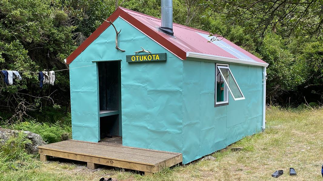
Otukota Hut
Standard hutRuahine Forest Park, Manawatū-WhanganuiOpen
Current advisories
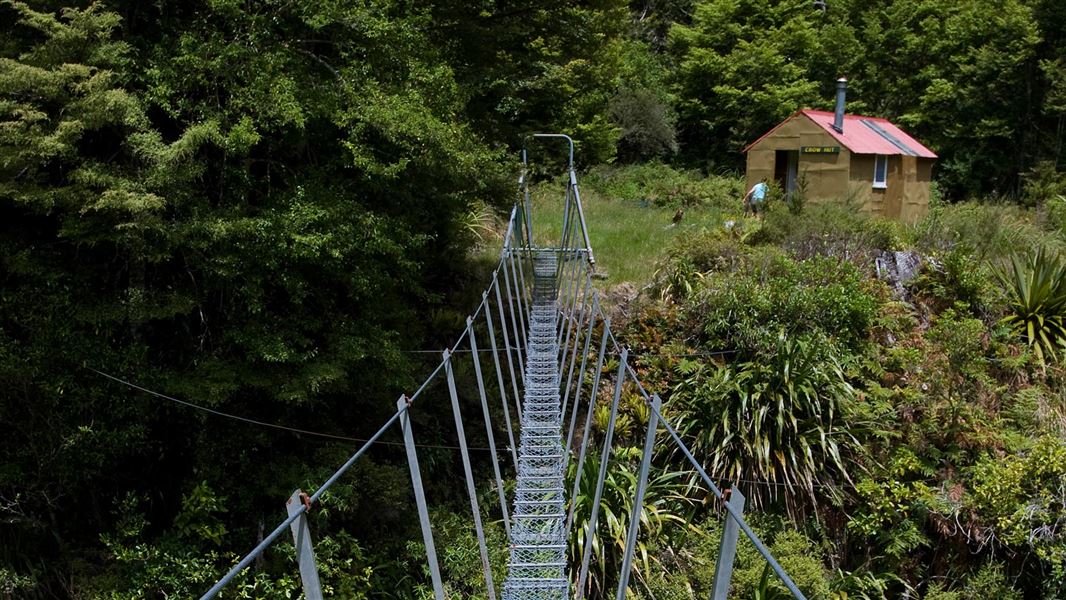
Iron Bark suspension bridge damage
02 August 2026
Iron Bark suspension bridge has been damaged by a fallen tree and has been removed. Trampers will need to cross a river instead. Do not cross the river if it is fast, murky, messy or loud. Identify a safer route or stay at a hut or shelter until the river is safe to cross. This is a long-term alert. First published on 6 October 2025. Last reviewed on 3 August 2026.
Source: DOC Te Papa Atawhai alerts.
- Sleeps
- 6 bunks
- Booking
- Not bookable
- Cost
- from $15
- Heating
- Yes
- Drinking water
- Boil first
- Toilet
- Non-flush
Getting there
We have not checked a road end or car park for this place yet, so we do not give driving directions to it. Check how to get there before you go. Some routes cross private land and need the landowner's permission.
How to get there, on doc.govt.nz- Topo map
- Topo50 sheet BK36
- Grid reference
- E1864590, N5600636
Source: DOC Te Papa Atawhai.
Map and tracks
Track lines: DOC Te Papa Atawhai. Map data © OpenStreetMap contributors. Topo map: LINZ, CC BY 4.0. 39.70365° S, 176.08617° E
About this place
This is a standard six-bunk hut in the Manawatu region.
On the way here
Mokai Road End to Otukota Hut · 4-5 hr
From here descend down a ridge for approximately 2 hours to the Maropea River to arrive at Otukota Hut.
Ruahine Corner to Rangitane Road · 4 days
Day 3: Iron Bark to Otukota Hut
Time: 3 - 4 hr
Follow the Waikamaka River upstream all the way to Otukota Hut. If the river is high you can take a high level track from Iron Bark Hut. Cross the swingbridge just upstream of the hut and follow the track up on to a high ridge before descending back to the Waikamaka River, where you will need to cross the river to reach Otukota Hut on the other side (note this is not a bridged crossing).
Day 4: Otukota Hut to Rangitane Road
Time: 6 - 8 hr
From Otukota Hut climb steeply to the tops of the Mokai Patea Range and pick up the tussock ridge down to Colenso Trig. From here drop steeply down a rocky ridge into forest and down past the old Kawhatau Field Base and into the Kawhatau River. Walk downstream for approximately 9.5 kms to the Rangitane Road bridge. Due to travel on unmarked tops this section should not be attempted in poor visibility or bad weather.
Source: DOC Te Papa Atawhai.
Fees and bookings
Before you go, buy Hut Tickets for each night's stay. Put these in the honesty box at the hut. Or buy a Backcountry Hut Pass that gives unlimited use at most Standard and Serviced huts for a 12 month period. Retailers that sell hut tickets and passes
Source: DOC Te Papa Atawhai.
On these tracks
Source: DOC Te Papa Atawhai.
Nearby stops
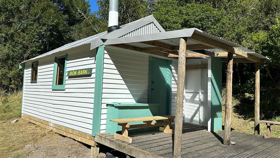
Iron Bark Hut
Standard • 6 bunks • Manawatū-Whanganui • 2.5 km
Iron Bark Hut is a standard six-bunk hut located in the Manawatu-Whanganui region.
Heating • Mattresses • Toilets - non-flush
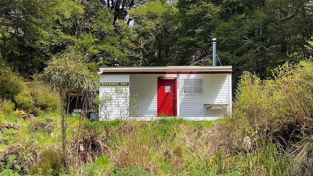
Colenso Hut
Standard • 8 bunks • Manawatū-Whanganui • 5.8 km
Colenso Hut is a standard eight-bunk hut located in the Manawatu region.
Heating • Mattresses • Toilets - non-flush
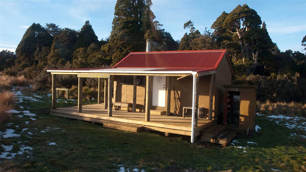
Ruahine Corner Hut
Standard • 6 bunks • Manawatū-Whanganui • 10.9 km
Ruahine Corner Hut is a standard six-bunk hut located in the Manawatu region.
Heating • Mattresses • Toilets - non-flush
Walks nearby
Contact
DOC Customer Service Centre
Regional DOC service centre.
Notes from people who have been
No notes yet. If you have been, say what you found.
Something missing or out of date?
Closed, moved, wrong facts, or something we have missed? Travellers keep the Road Guide up to date. Tell us what you found at contribute@parkup.nz and we will check it and add it.
Ask us to take this down
A person reads every request. We do not remove a place until we have checked it.
Sources
- DOC Huts (API) · CC BY 4.0Crown Copyright: Department of Conservation Te Papa Atawhai. Data sourced from the DOC Developer Portal (api.doc.govt.nz).
- DOC Huts · CC BY 4.0Data sourced from the Department of Conservation (DOC), New Zealand.
- OpenStreetMap Huts · ODbL (Open Database License)Contains information from OpenStreetMap, made available under the ODbL.