Colenso Spur Track
WalkHawke's Bay
- Grade
- Advanced
- Walking time
- 5 hr
- Dogs
- No dogs
Getting there
We have not checked a road end or car park for this place yet, so we do not give driving directions to it. Check how to get there before you go. Some routes cross private land and need the landowner's permission.
How to get there, on doc.govt.nzWakarara Roadend is approximately 75 km from Napier. Turn onto Wakarara Road from SH50 and follow for approximately 26.5km to the end of Wakarara Road.
There is no vehicle access to the Ruahine Forest Park from the Wakarara Road end. You will need to cross the Makaroro River.
From the carpark, follow a poled route (marked with orange track markers) along the farmers fence line and through a paddock down to the river.
Source: DOC Te Papa Atawhai.
Map
Map data © OpenStreetMap contributors. Topo map: LINZ, CC BY 4.0. 39.72319° S, 176.21006° E
Got a good photo of this place? Send it to us and we will show it with your name.
About this place
This track provides good access to the Ruahine main range. From the road end there is a 1.5 hr walk up the river to the Colenso Spur.
The route
The track climbs steeply from the river and moves along a steep rock face before entering beech forest and emerging onto the open tops. There are no cairns or poles for guidance to the tops. Time given is from roadend. A stone memorial cairn is located here for the missionary William Colenso, who frequently used this old Māori route over the Ruahine Range. While he explored new ways across the range, he always used the route over Te-Atua-o-Mahuru (spirit of spring) for one leg of each journey. On reaching the summit he was always overwhelmed by the sweeping sub-alpine filled gardens.
Source: DOC Te Papa Atawhai.
Know before you go
Stay safe when crossing rivers and streams
If you plan to cross unbridged rivers or side streams, know how to cross safely and be prepared for if you cannot cross. Do not cross if the river or stream is flooded, you cannot find safe entry and exit points or are unsure it’s safe. Turn back or wait for the river to drop. If in doubt, stay out. How to cross rivers safely NIWA river flow forecasts: View a video of national followed by regional river flows
Source: DOC Te Papa Atawhai.
Nearby stops
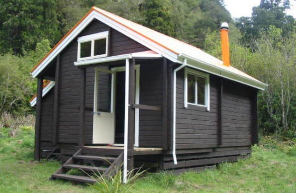
Barlow Hut
Standard • 8 bunks • Hawke's Bay • 1 km
Barlow Hut is a standard eight-bunk hut located in the Hawke's Bay region.
Heating • Mattresses • Toilets - non-flush

Sparrowhawk Bivvy
Basic/bivvies • 2 bunks • Hawke's Bay • 3.1 km
Sparrowhawk Bivvy is a basic two-bunk hut located in the Hawke's Bay region.
Mattresses • Toilets - non-flush • Water from tap - not treated, boil before use

Gold Creek Hut
Basic/bivvies • 4 bunks • Hawke's Bay • 4.4 km
Gold Creek Hut is a basic four-bunk hut located in the Hawke's Bay region.
Heating • Mattresses • Toilets - non-flush
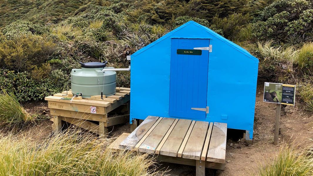
Kylie Bivvy
Basic/bivvies • 2 bunks • Hawke's Bay • 4.9 km
Kylie Bivvy is a basic two-bunk hut located in the Hawke's Bay region.
Mattresses • Toilets - non-flush • Water from tap - not treated, boil before use
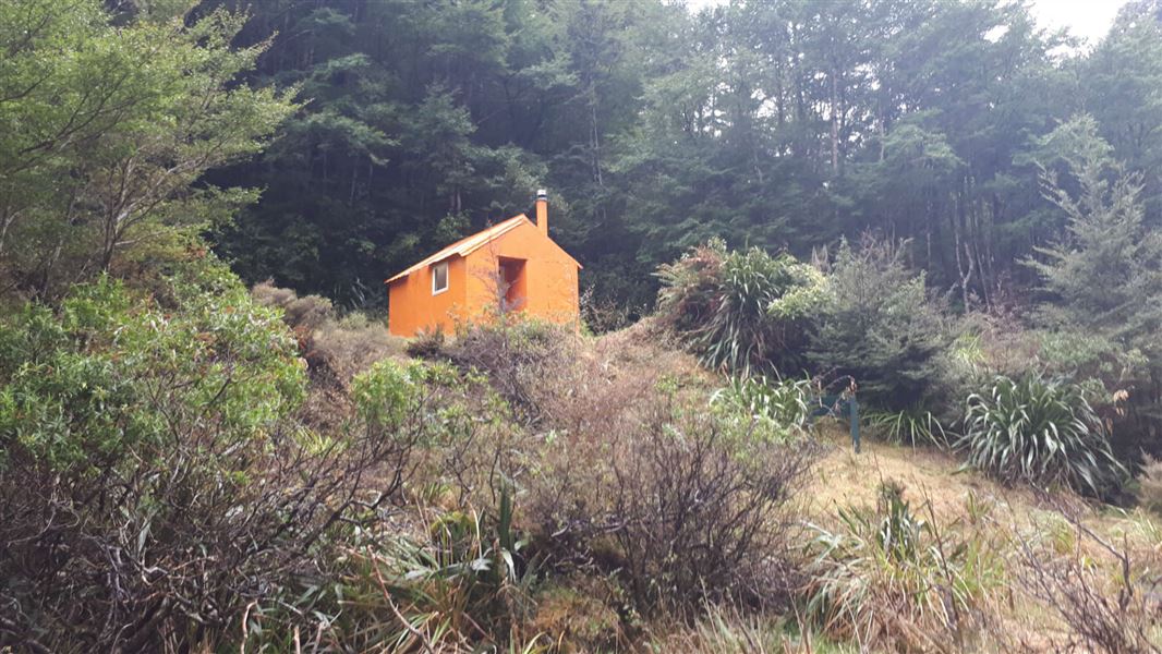
Upper Makaroro Hut
Standard • 4 bunks • Hawke's Bay • 5 km
Upper Makaroro Hut is a standard four-bunk hut located in the Hawke's Bay region.
Heating • Mattresses • Toilets - non-flush
Walks nearby
Sparrowhawk Track
Advanced • 3-4 hr • 4.9 km • 1.54 km away
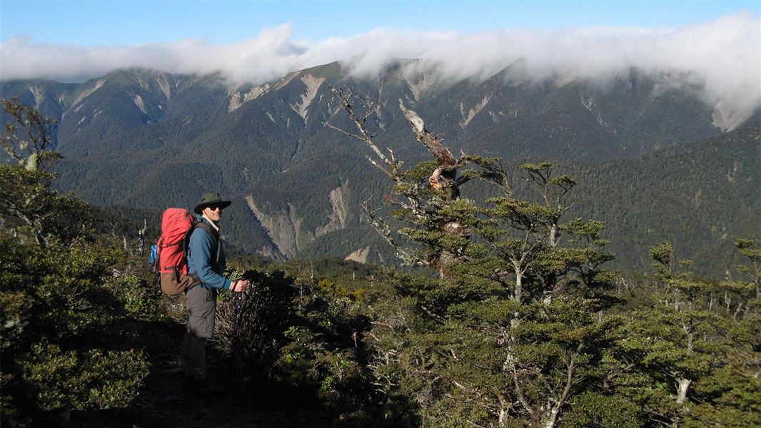
Parks Peak Track to Yeoman's Track
Advanced • 4-5 hr • 7.3 km • 3.1 km away
Gold Creek Ridge Track
Advanced • 3-4 hr • 3.72 km away
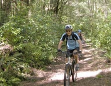
Yeoman's Track
Easy • 3 hr 30 min - 4 hr 30 min • 4.59 km away
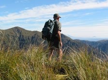
Mangleton Road to Parks Peak Ridge
Advanced • 1-2 days • 7.94 km away
Something missing or out of date?
Closed, moved, wrong facts, or something we have missed? Travellers keep the Road Guide up to date. Tell us what you found at contribute@parkup.nz and we will check it and add it.
Ask us to take this down
A person reads every request. We do not remove a place until we have checked it.
Sources
- DOC Tracks (API) · CC BY 4.0Crown Copyright: Department of Conservation Te Papa Atawhai. Data sourced from the DOC Developer Portal (api.doc.govt.nz).