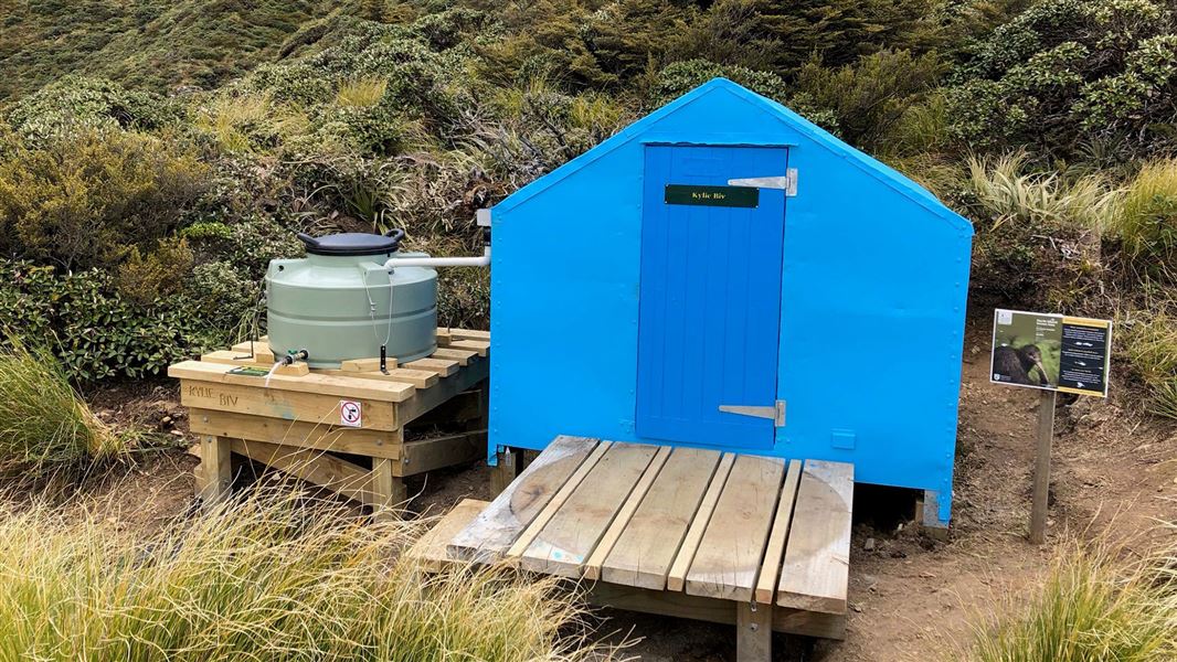
Kylie Bivvy
Basic/bivvies hutRuahine Forest Park, Hawke's BayOpen
Current advisories
Predator control for Ruahine Forest Park – north-east Ruahine
05 March 2026
Toxic bait containing 1080 was distributed in the north-western area of Ruahine Forest Park on 5 March 2026. Treatment blocks can be viewed on DOC's pesticide summary . It is not safe to hunt for food or have your dog in this area for up to 8 months. Warning signs and this web alert will be removed once the area is safe again. This operation is part of DOC's National Predator Control Programme to protect native species. First published on 7 January 2026. Last reviewed on 6 March 2026.
Source: DOC Te Papa Atawhai alerts.
- Sleeps
- 2 bunks
- Booking
- Not bookable
- Heating
- None
- Drinking water
- Boil first
- Toilet
- Non-flush
Getting there
We have not checked a road end or car park for this place yet, so we do not give driving directions to it. Check how to get there before you go. Some routes cross private land and need the landowner's permission.
How to get there, on doc.govt.nzKylie Biv can be accessed from Mangleton Road-end. It is approximately two hours 30 minutes past Upper Makaroro Hut.
Take the Golden Crown Ridge Track, which begins behind Masters Shelter and climbs to the top of the range. From here, take the track to the south past Park's Peak and Upper Makaroro Huts. From Upper Makaroro Hut, head south along the ridge for 20 minutes then down the spur for 10 minutes. The bivouac is signposted and located on the eastern side of the main Ruahine Range.
- Topo map
- Topo50 sheet BK36
- Grid reference
- E1874495, N5602840
Source: DOC Te Papa Atawhai.
Map and tracks
Track lines: DOC Te Papa Atawhai. Map data © OpenStreetMap contributors. Topo map: LINZ, CC BY 4.0. 39.67974° S, 176.19953° E
About this place
This is a basic two-bunk hut in the Hawke's Bay region.
Fees and bookings
Free
Source: DOC Te Papa Atawhai.
On these tracks
Source: DOC Te Papa Atawhai.
Nearby stops
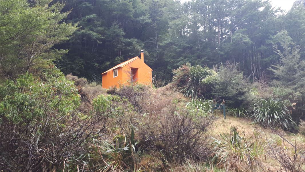
Upper Makaroro Hut
Standard • 4 bunks • Hawke's Bay • 2.5 km
Upper Makaroro Hut is a standard four-bunk hut located in the Hawke's Bay region.
Heating • Mattresses • Toilets - non-flush
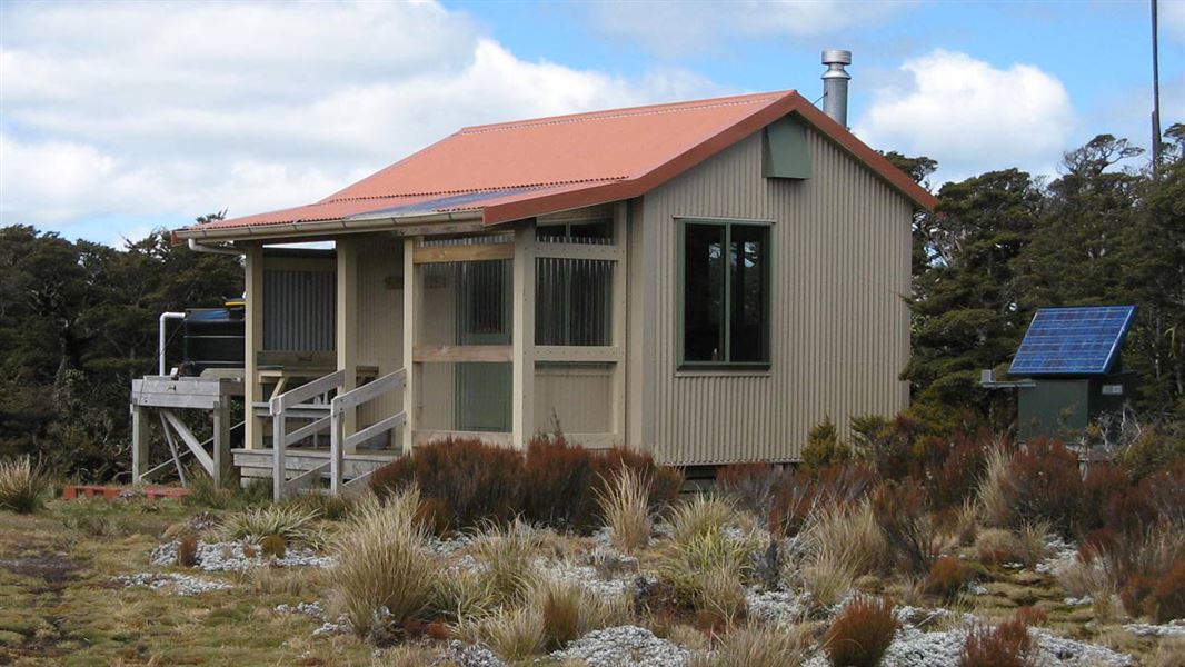
Parks Peak Hut
Standard • 6 bunks • Hawke's Bay • 4.4 km
Parks Peak Hut is a standard six-bunk hut located in the Hawke's Bay region.
Heating • Mattresses • Toilets - non-flush
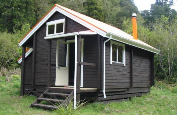
Barlow Hut
Standard • 8 bunks • Hawke's Bay • 4 km
Barlow Hut is a standard eight-bunk hut located in the Hawke's Bay region.
Heating • Mattresses • Toilets - non-flush
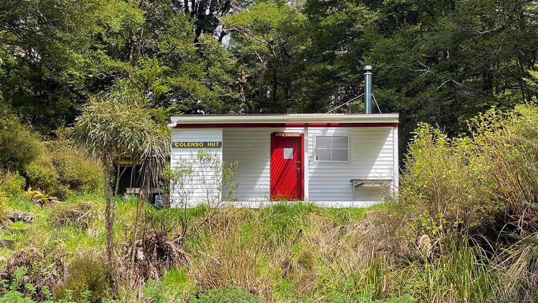
Colenso Hut
Standard • 8 bunks • Manawatū-Whanganui • 5.1 km
Colenso Hut is a standard eight-bunk hut located in the Manawatu region.
Heating • Mattresses • Toilets - non-flush
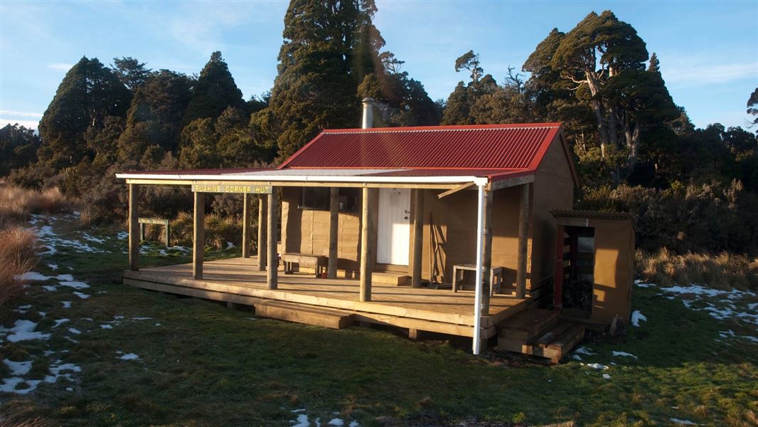
Ruahine Corner Hut
Standard • 6 bunks • Manawatū-Whanganui • 5.9 km
Ruahine Corner Hut is a standard six-bunk hut located in the Manawatu region.
Heating • Mattresses • Toilets - non-flush
Walks nearby
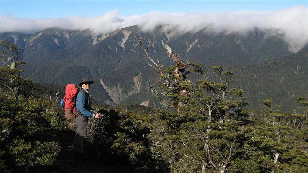
Parks Peak Track to Yeoman's Track
Advanced • 4-5 hr • 7.3 km • 4.19 km away
Colenso Spur Track
Advanced • 4-5 hr one way • 4.92 km away
Sparrowhawk Track
Advanced • 3-4 hr • 4.9 km • 6.41 km away
Yeoman's Track
Easy • 3 hr 30 min - 4 hr 30 min • 7.23 km away
Gold Creek Ridge Track
Advanced • 3-4 hr • 8.62 km away
Contact
DOC Customer Service Centre
Regional DOC service centre.
Notes from people who have been
No notes yet. If you have been, say what you found.
Something missing or out of date?
Closed, moved, wrong facts, or something we have missed? Travellers keep the Road Guide up to date. Tell us what you found at contribute@parkup.nz and we will check it and add it.
Ask us to take this down
A person reads every request. We do not remove a place until we have checked it.
Sources
- OpenStreetMap Huts · ODbL (Open Database License)Contains information from OpenStreetMap, made available under the ODbL.
- DOC Huts · CC BY 4.0Data sourced from the Department of Conservation (DOC), New Zealand.
- DOC Huts (API) · CC BY 4.0Crown Copyright: Department of Conservation Te Papa Atawhai. Data sourced from the DOC Developer Portal (api.doc.govt.nz).