Renfrew Road end to Table Flat Road end
WalkManawatū-Whanganui
- Grade
- Advanced
- Walking time
- 3 days
- Dogs
- DOC permit only
Getting there
We have not checked a road end or car park for this place yet, so we do not give driving directions to it. Check how to get there before you go. Some routes cross private land and need the landowner's permission.
How to get there, on doc.govt.nzTravel past the villages of Kimbolton and Rangiwahia and continue along Te Para Para Rd and on to Renfrew Road. Follow this to the carpark at the end.
Just past the village of Kimbolton turn right onto Apiti Road which then becomes Oroua Valley Road. Go through Apiti and take the second turn right onto Table Flat Road and continue for several kms. Turn left onto Petersons Road. Take this road to the carpark on farmland at the end of the road.
You will need to make transport arrangements as the end and start points of this hike are different.
Source: DOC Te Papa Atawhai.
Map and tracks
Track lines: DOC Te Papa Atawhai. Map data © OpenStreetMap contributors. Topo map: LINZ, CC BY 4.0. 39.89379° S, 176.03014° E
About this place
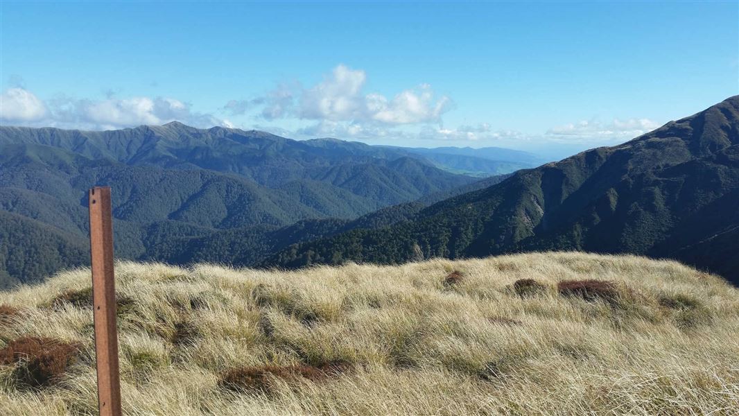
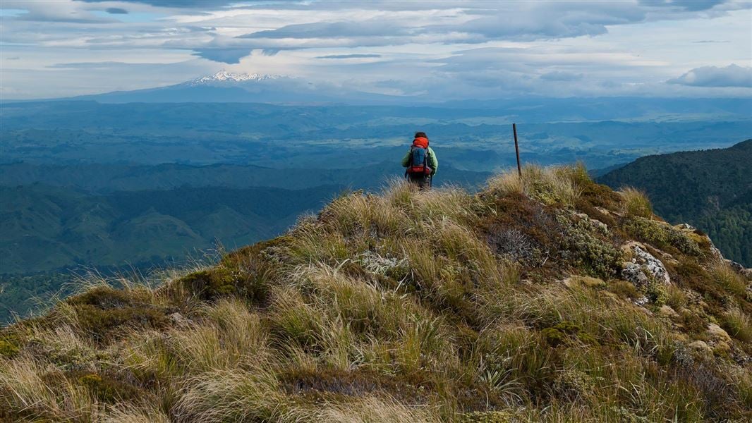
Climb up and over the tussock tops of the Whanahuia Range in Ruahine Forest Park then drop down to follow the Oroua River valley.
The route
Renfrew Road end to Rangiwahia Hut or Triangle Hut
Time: 2-3 hr or 6-8 hr
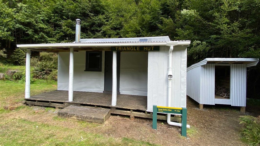
Have an easy short day to Rangiwahia Hut (2 - 3 hr) following the well formed Rangiwahia Hut Track or alternatively get an early start and have a long day hiking up past Rangiwahia Hut, over the Whanahuia Range and down to Triangle Hut (6 - 8 hr) in the Oroua River. From Rangiwahia Hut head to the top of the Whanahuia Range, then head north for about 40 minutes to where the Triangle Hut track turns off and descends steeply down the eastern side of the range. Due to travel on the open tops this section should not be attempted in poor visibility or bad weather.
Rangiwahia Hut or Triangle Hut to Iron Gate Hut
Time: 2-3 hr or 6-8 hr
Depending on where you end up the first night you either have a short day of river and track travel from Triangle Hut to Iron Gate Hut (2 - 3 hr) or a longer day from Rangiwahia Hut to Iron Gate Hut (6 - 8 hr). The first half of the route from Triangle Hut is down the Oroua River and should not be attempted when river levels are high following heavy rain. A track up and over a ridge eliminates some river travel before descending once again to the river a short distance before Iron Gate Hut which is on the true left.
Day 3: Iron Gate Hut to Table Flat Road end
Time: 4-5 hr
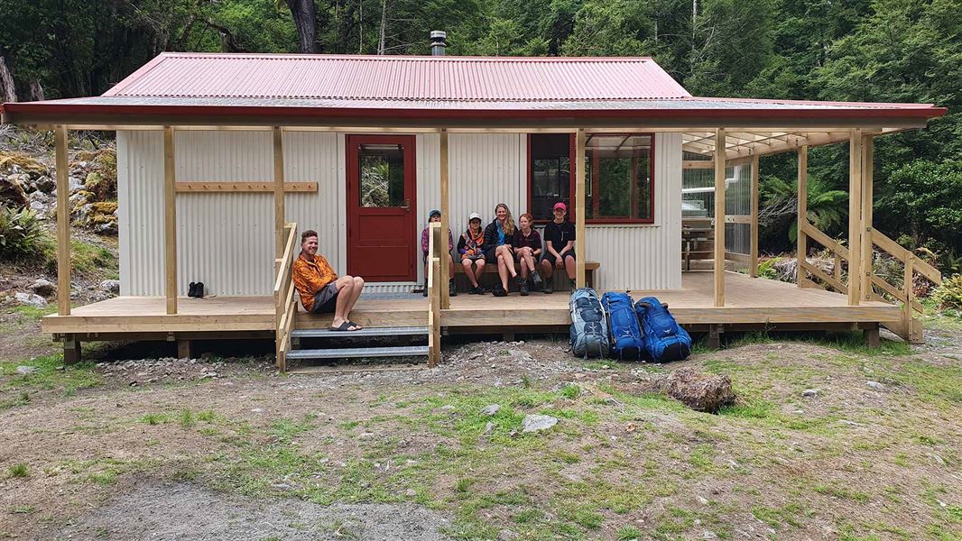
Walk the Iron Gate Hut Track out to Alice Nash Memorial Heritage Lodge (3 - 4 hr) and on to the Oroua carpark at the end of Table Flat Road.
Source: DOC Te Papa Atawhai.
Joins these tracks
Source: DOC Te Papa Atawhai.
On this track
In walking order.
Nearby stops
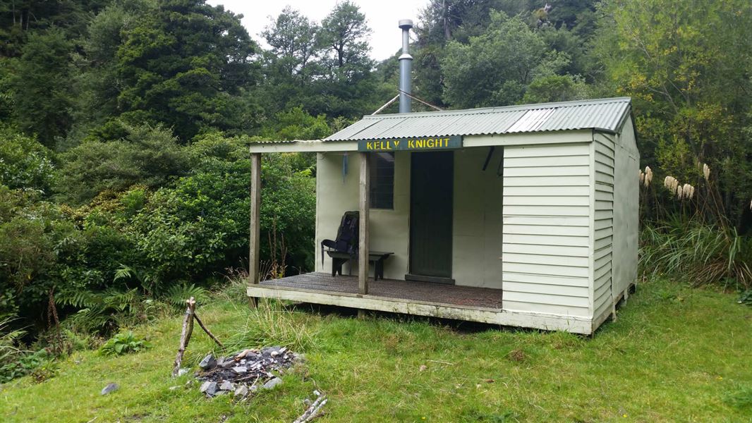
Kelly Knight Hut
Standard • 8 bunks • Manawatū-Whanganui • 5.2 km
Kelly Knight Hut is a standard eight-bunk hut located in the Manawatu region.
Heating • Mattresses • Toilets - non-flush
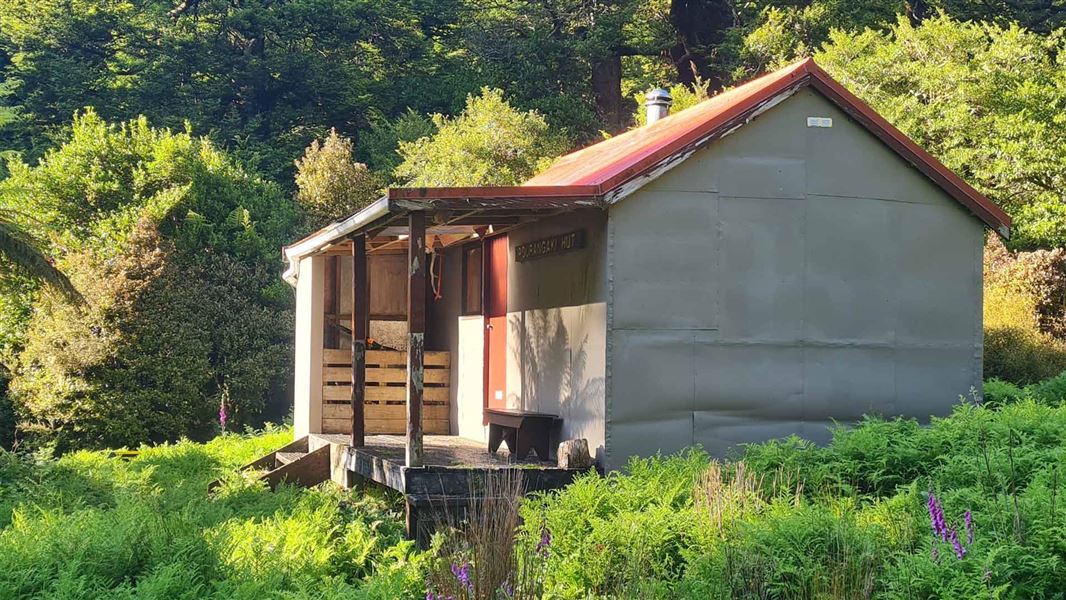
Pourangaki Hut
Standard • 8 bunks • Manawatū-Whanganui • 5.8 km
Pourangaki Hut is a standard eight-bunk hut located in the Manawatu-Whanganui region.
Heating • Mattresses • Toilets - non-flush
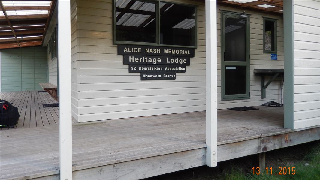
Alice Nash Memorial Heritage Lodge
Standard • 8 bunks • Manawatū-Whanganui • 6.9 km
Alice Nash Memorial Heritage Lodge is a standard eight-bunk hut located in the Manawatu region.
Heating • Mattresses • Lighting

Howletts Hut
Standard • 8 bunks • Hawke's Bay • 8.3 km
Howletts Hut is a standard eight-bunk hut located in the Hawke's Bay region.
Mattresses • Toilets - non-flush • Water from tap - not treated, boil before use
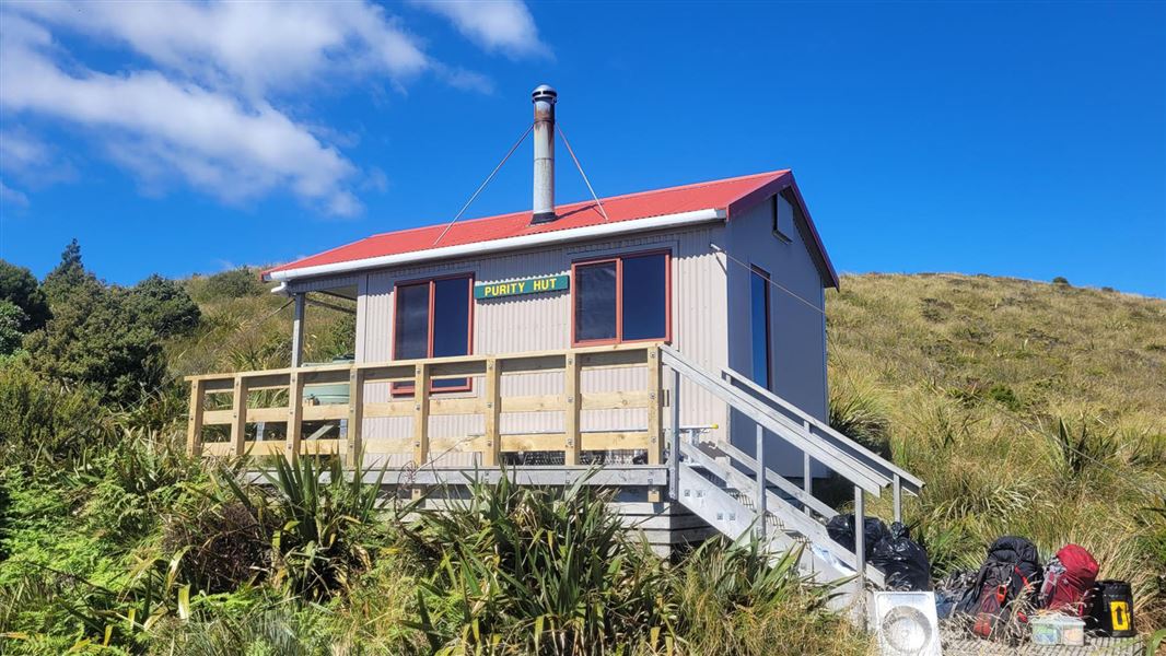
Purity Hut
Standard • 6 bunks • Manawatū-Whanganui • 8.5 km
Purity Hut is a standard six-bunk hut located in the Manawatu region.
Heating • Mattresses • Toilets - non-flush
Walks nearby
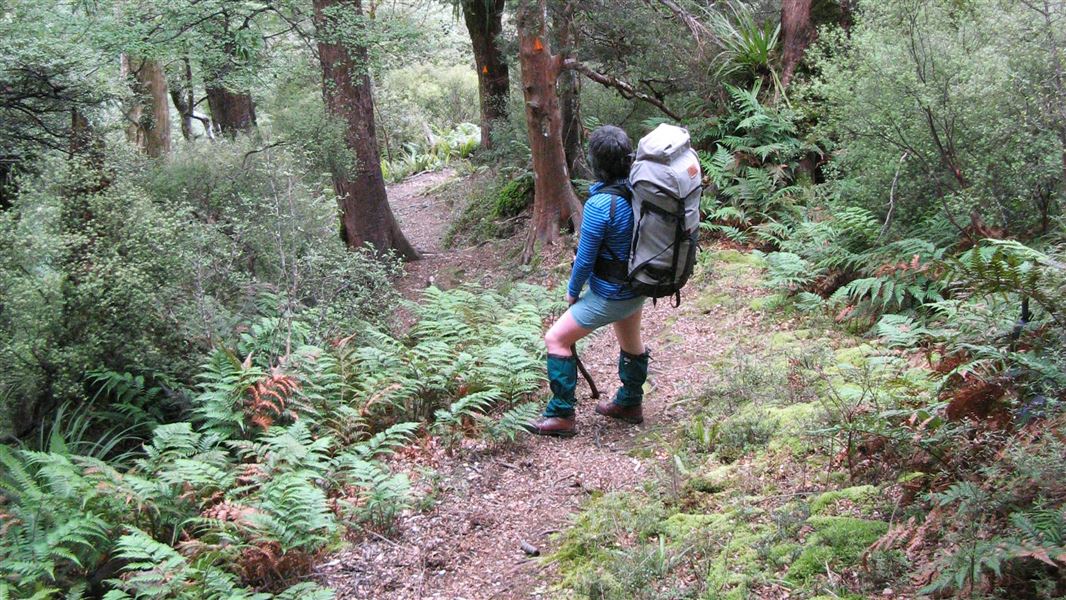
Kelly Knight Hut Track
Advanced • 2 hr 30 min - 3 hr 30 min • 5.75 km away
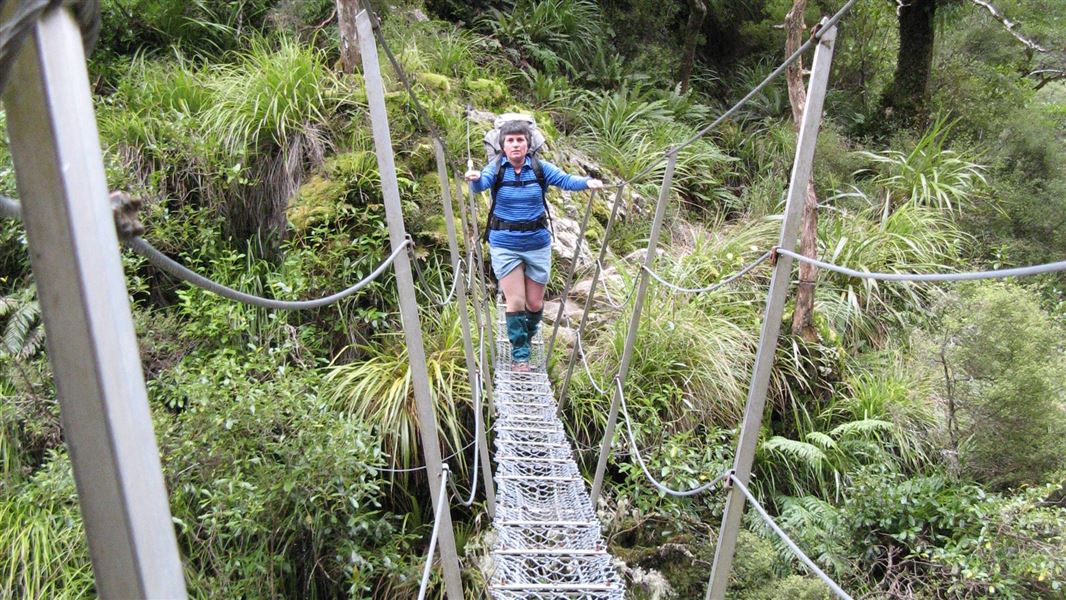
Purity - Kelly Knight Hut Loop Track
Advanced • 2-3 days • 6.03 km away
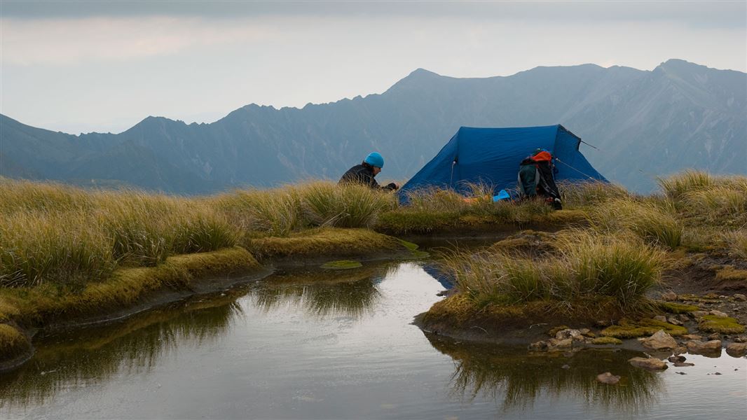
Purity to Kawhatau Base Track
Advanced • 3-4 days • 6.03 km away
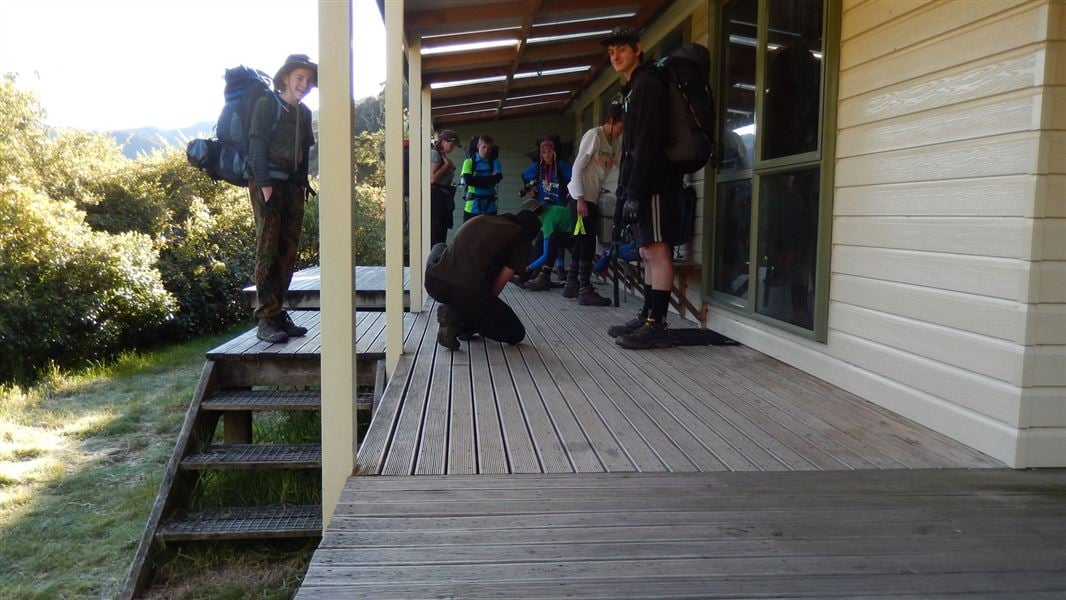
Alice Nash Memorial Heritage Lodge Track
Easy • 30 min one way • 2.4 km • 7.06 km away
Purity Hut Track
Advanced • 3 - 4 hr • 8.85 km away
Notes from people who have been
No notes yet. If you have been, say what you found.
Something missing or out of date?
Closed, moved, wrong facts, or something we have missed? Travellers keep the Road Guide up to date. Tell us what you found at contribute@parkup.nz and we will check it and add it.
Ask us to take this down
A person reads every request. We do not remove a place until we have checked it.
Sources
- DOC Tracks (API) · CC BY 4.0Crown Copyright: Department of Conservation Te Papa Atawhai. Data sourced from the DOC Developer Portal (api.doc.govt.nz).