Pōhutukawa Track
WalkAuckland
- Grade
- Easy
- Walking time
- 4 hr 5 min
- Distance
- 1.1 km to 6.6 km
- Dogs
- No dogs
Getting there
We have not checked a road end or car park for this place yet, so we do not give driving directions to it. Check how to get there before you go. Some routes cross private land and need the landowner's permission.
How to get there, on doc.govt.nzMap
Map data © OpenStreetMap contributors. Topo map: LINZ, CC BY 4.0. 36.74679° S, 174.91724° E
Got a good photo of this place? Send it to us and we will show it with your name.
About this place
An interesting walk viewing young and mature pōhutukawa and exploring WWII gun emplacements and tunnels.
The route
Track times are indicative only. Ensure you have plenty of time to complete your walk and catch the ferry. You can walk part of the track or all of the sections.
Northern Junction to Billy Goat Point
Time: 1 hr 20 min one way
3.3 km
Northern Junction to Sandy Bay
Time: 35 min one way
1.1 km
Sandy Bay to Billy Goat Point
Time: 45 min one way
2.2 km The track passes the three WWII gun emplacements which were once home to the six-inch gun battery. Take a torch and explore the tunnels. The track dips down close to Sandy Bay before climbing along the ridge to Billy Goat Point. Both young and mature pohutukawa can be seen.
Source: DOC Te Papa Atawhai.

Nearby stops
Motutapu Outdoor Education Camp
Auckland • 0.8 km

Home Bay, Motutapu Island Campsite
Standard • Auckland • 2.5 km
Home Bay Campsite is located on Motutapu Island in the Auckland region. It sits directly on the beach, providing access to island walkways, coastline, and…
Non-powered/tent sites • Water from tap - not treated, boil before use • Toilets - non-flush
Bach 114
Auckland • 4 km
Bach 114 is a hut located in the Auckland region. No further details about its facilities or specific location are available in the provided data.
Bach 78
Auckland • 4.1 km
Bach 78 is a hut located in the Auckland region. The available records provide no further details about its facilities or specific location.

Motuihe Island Campsite
Standard • Auckland • 6.5 km
Motuihe Island Campsite is located on a headland near a sandy, sheltered beach in the Auckland region. The island offers good boat anchorage and opportunities…
Non-powered/tent sites • Water from tap - not treated, boil before use • Toilets - non-flush
Walks nearby
Rotary Centennial Loop Track
Easy • 40 min • 2 km • 1.44 km away
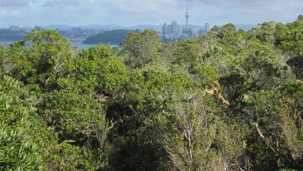
Rangitoto Island longer walks
Easy • 1 hr to 3 hr 45 min • 4.79 km away
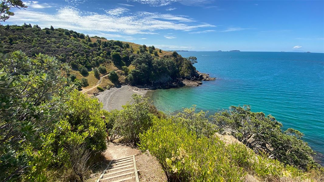
Matietie Walk
Advanced • 55 min • 6.98 km away
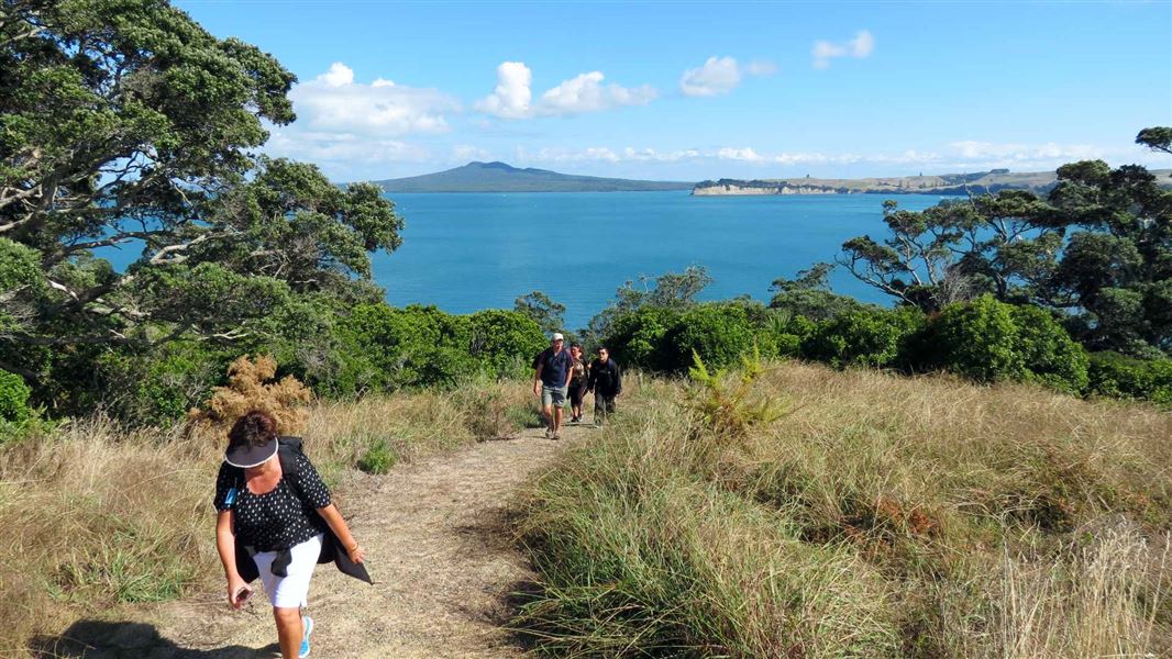
Motuihe Island tracks
Easy • 20 min to 3 hrs one way • 1 to 6.5 km • 7.45 km away
Bald Knob Track
Walking track • 7.9 km away
Notes from people who have been
No notes yet. If you have been, say what you found.
Something missing or out of date?
Closed, moved, wrong facts, or something we have missed? Travellers keep the Road Guide up to date. Tell us what you found at contribute@parkup.nz and we will check it and add it.
Ask us to take this down
A person reads every request. We do not remove a place until we have checked it.
Sources
- DOC Tracks (API) · CC BY 4.0Crown Copyright: Department of Conservation Te Papa Atawhai. Data sourced from the DOC Developer Portal (api.doc.govt.nz).