Motuihe Island tracks
WalkAuckland
- Grade
- Easy
- Walking time
- 3 hr 20 min
- Distance
- 1 to 6.5 km
- Dogs
- No dogs
Getting there
We have not checked a road end or car park for this place yet, so we do not give driving directions to it. Check how to get there before you go. Some routes cross private land and need the landowner's permission.
How to get there, on doc.govt.nzSeveral operators offer boat transfer to and from Motuihe Wharf at set times. Arrive for collection promptly when leaving the island, as alternative arrangements may not be available.
There is a good boat anchorage adjacent to the Motuihe campsite for those arriving by boat. This is located on the North-western headland of Motuihe Island/Te Motu-a-Ihenga.
Source: DOC Te Papa Atawhai.
Map
Map data © OpenStreetMap contributors. Topo map: LINZ, CC BY 4.0. 36.81013° S, 174.94442° E
About this place
Enjoy our rarest birds, ancient native trees and unique limestone formations in this selection of easy walks.
The route
Motuihe Island tracks provide access to a range of diverse and interesting bush, beaches, and sights. It is always possible to find a beach for a picnic, sheltered from any direction of wind. Tracks are an easy gradient, and walking times assume a leisurely pace with stops. They have mown grass except for the bush part of the Tieke track, which is formed and metalled.
Tieke Track
Time: 1.5 to 2.5 hrs
km return to the wharf Tieke Track is in the middle of the island. It is accessed from the wharf and beaches around the island via marked tracks. Many native birds can be seen and heard on this walk. The walk passes under ancient native trees, which are home to a wide variety of birds including the rare saddleback/tieke. There is a seat overlooking Wharf Bay along the way, where you can view a geologically significant pancake limestone formation. The track emerges from the bush near the ridgeline. You can then head south to Nga Taikorapa, or north towards the wharf or other beaches.
Eastern Beaches Track
Time: 1.5 to 2.5 hrs
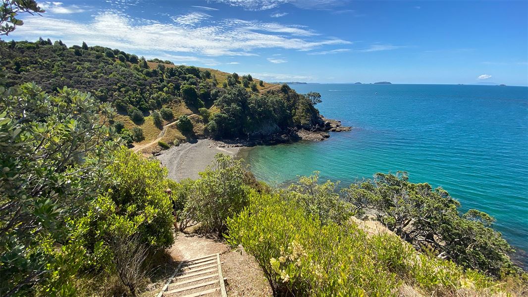
5.5 km return to the wharf This loop walk is an easy gradient on a grass track with outstanding views of the Hauraki Gulf, beaches and regenerating bush. There are some marked tracks that link to this walk. These provide quick access routes to other destinations. It offers access to Ocean Beach, Snapper Bay, Calypso Bay and views over Ohinerau Bay.
Bald Knob Track
Time: 2 to 3 hrs
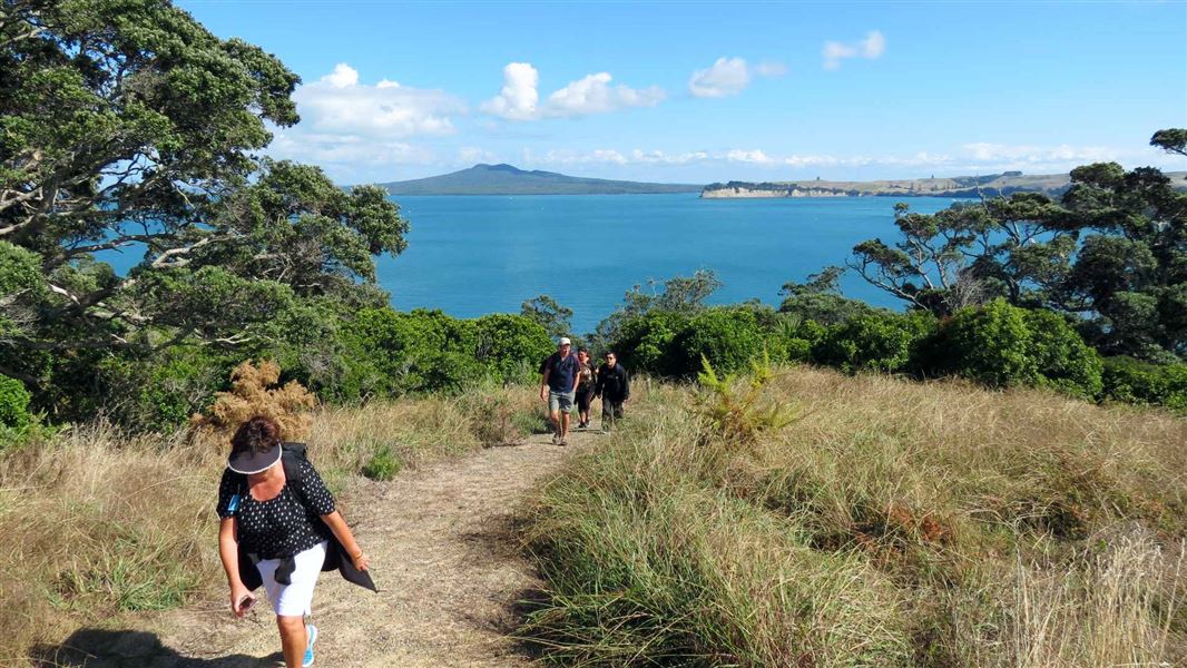
6.5 km return to the wharf The Bald Knob Track takes visitors to the southern end of the island. It travels through regenerating bush and pasture and ends at a secluded sandy beach. The track follows the ridgeline, which offers panoramic views of Hauraki Gulf. Then as you progress, you can enjoy more views looking over Wharf Bay to Rangitoto.
Headland Heritage Walk
Time: 20 - 45 min
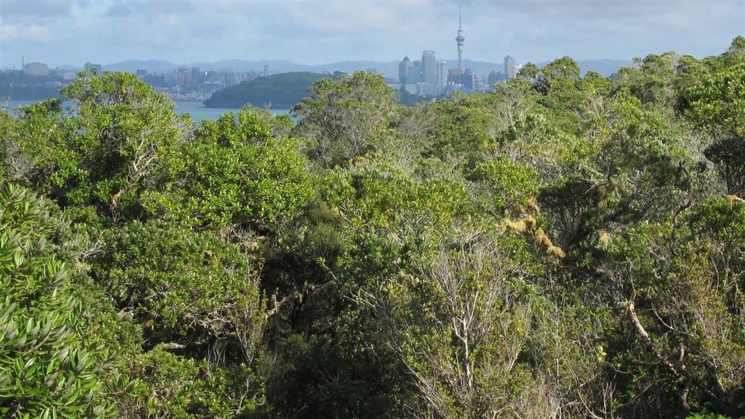
km return Headland Heritage Walk starts at a sealed road at the tree lined slope past the toilets by the campsite. This path heads towards the cemetery, which is at the most northern point of the island. The road passes historic olives planted in the 1860s and takes in panoramic views of the Waitemata Harbour Hauraki Gulf Islands. The walk ends at the historic 1918 Spanish Flu graveyard.
Source: DOC Te Papa Atawhai.
Know before you go
No fires
There is a total fire ban in this area. However, you may use gas-fuelled cooking equipment.
Hazards
Beware of cliff edges. Supervise children at all times while on the track. Historic structures may be unstable. Stay well clear. Be aware of ferry departure times - alternative transport or accommodation may not be available.
No dogs
No dogs are allowed on the island. This includes no dogs on the shore or foreshore.
Facilities
Toilets are near the track to the wharf. There is nowhere to dispose of rubbish - take all your rubbish with you.
Camping
Overnight camping is allowed in designated areas only.
Source: DOC Te Papa Atawhai.
Nearby stops

Motuihe Island Campsite
Standard • Auckland • 1.1 km
Motuihe Island Campsite is located on a headland near a sandy, sheltered beach in the Auckland region. The island offers good boat anchorage and opportunities…
Non-powered/tent sites • Water from tap - not treated, boil before use • Toilets - non-flush

Home Bay, Motutapu Island Campsite
Standard • Auckland • 5 km
Home Bay Campsite is located on Motutapu Island in the Auckland region. It sits directly on the beach, providing access to island walkways, coastline, and…
Non-powered/tent sites • Water from tap - not treated, boil before use • Toilets - non-flush
Bach 78
Auckland • 5.7 km
Bach 78 is a hut located in the Auckland region. The available records provide no further details about its facilities or specific location.
Bach 114
Auckland • 5.8 km
Bach 114 is a hut located in the Auckland region. No further details about its facilities or specific location are available in the provided data.
Motutapu Outdoor Education Camp
Auckland • 7.1 km
Walks nearby
Notes from people who have been
No notes yet. If you have been, say what you found.
Something missing or out of date?
Closed, moved, wrong facts, or something we have missed? Travellers keep the Road Guide up to date. Tell us what you found at contribute@parkup.nz and we will check it and add it.
Ask us to take this down
A person reads every request. We do not remove a place until we have checked it.
Sources
- DOC Tracks (API) · CC BY 4.0Crown Copyright: Department of Conservation Te Papa Atawhai. Data sourced from the DOC Developer Portal (api.doc.govt.nz).