Matietie Walk
WalkAuckland
- Grade
- Advanced
- Walking time
- 55 min
- Dogs
- No dogs
Getting there
We have not checked a road end or car park for this place yet, so we do not give driving directions to it. Check how to get there before you go. Some routes cross private land and need the landowner's permission.
How to get there, on doc.govt.nzThe Matietie walk starts at the Matiatia Wharf where the passenger ferry berths.
Source: DOC Te Papa Atawhai.
Map
Map data © OpenStreetMap contributors. Topo map: LINZ, CC BY 4.0. 36.77454° S, 174.98749° E
About this place
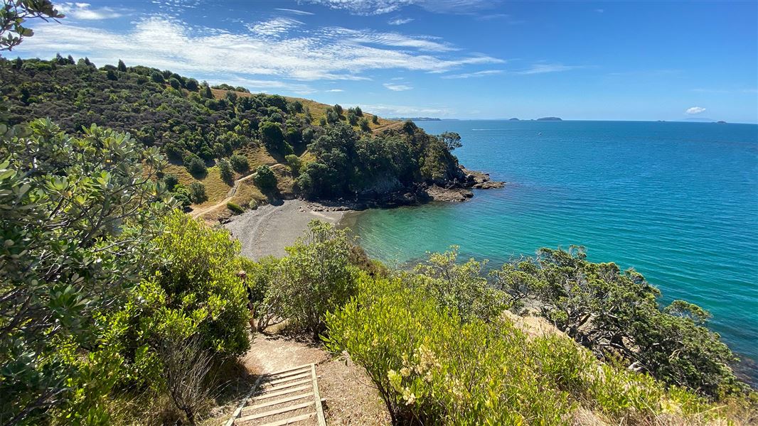
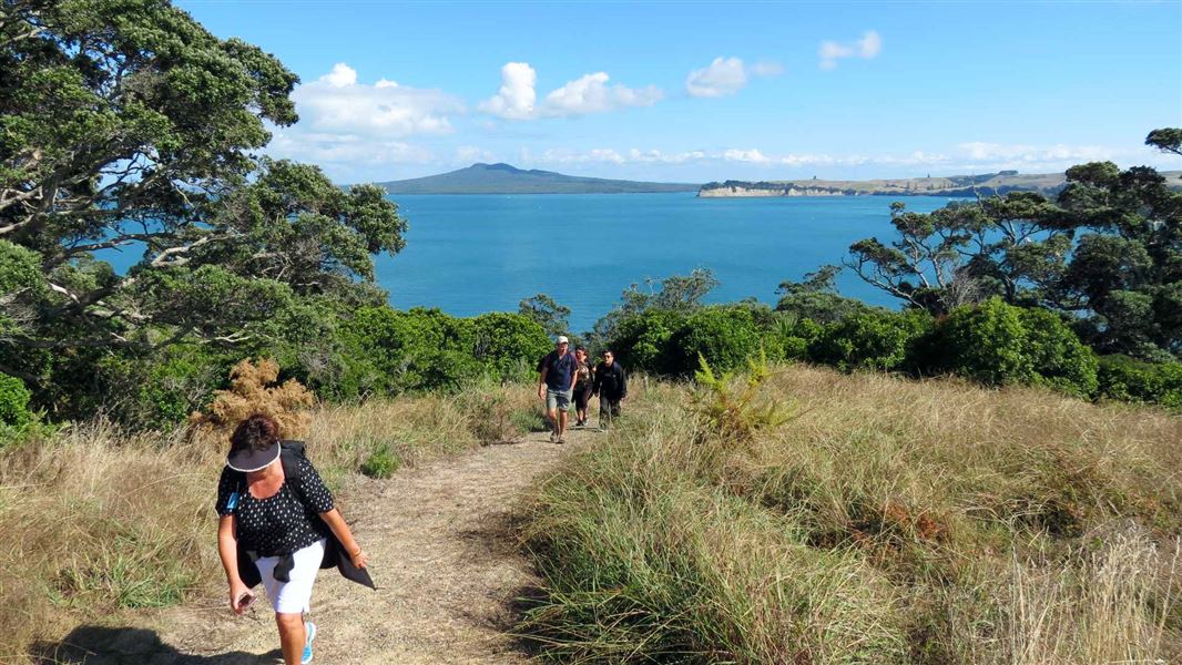
This coastal walk takes you through the Matietie Historic Reserve.
The route
This coastal walk through the Matietie Historic Reserve starts near the Matiatia Wharf and links with other signposted public walks. The first section of the track is only accessible 1 hour either side of low tide. Further along there is a slip on the track. Negotiate with care. The track is mostly unformed with steep, rough or muddy sections, and is suitable for people with average fitness. The track has markers and poles. Tramping/hiking boots are required.
Source: DOC Te Papa Atawhai.
Know before you go
Be prepared for a track diversion and be aware of possible rock fall
There is a small slip on the track and there is a diversion in place. Take care when passing below cliffs on this track. Rockfalls can occur at any time.
Source: DOC Te Papa Atawhai.
Nearby stops

Home Bay, Motutapu Island Campsite
Standard • Auckland • 5.3 km
Home Bay Campsite is located on Motutapu Island in the Auckland region. It sits directly on the beach, providing access to island walkways, coastline, and…
Non-powered/tent sites • Water from tap - not treated, boil before use • Toilets - non-flush

Motuihe Island Campsite
Standard • Auckland • 5.6 km
Motuihe Island Campsite is located on a headland near a sandy, sheltered beach in the Auckland region. The island offers good boat anchorage and opportunities…
Non-powered/tent sites • Water from tap - not treated, boil before use • Toilets - non-flush
Motutapu Outdoor Education Camp
Auckland • 7.2 km
Bach 114
Auckland • 8.3 km
Bach 114 is a hut located in the Auckland region. No further details about its facilities or specific location are available in the provided data.
Bach 78
Auckland • 8.3 km
Bach 78 is a hut located in the Auckland region. The available records provide no further details about its facilities or specific location.
Walks nearby
Notes from people who have been
No notes yet. If you have been, say what you found.
Something missing or out of date?
Closed, moved, wrong facts, or something we have missed? Travellers keep the Road Guide up to date. Tell us what you found at contribute@parkup.nz and we will check it and add it.
Ask us to take this down
A person reads every request. We do not remove a place until we have checked it.
Sources
- DOC Tracks (API) · CC BY 4.0Crown Copyright: Department of Conservation Te Papa Atawhai. Data sourced from the DOC Developer Portal (api.doc.govt.nz).