Sandy Bay Hut
Serviced hutTe Urewera, Hawke's BayOpen
Current advisories
Te Urewera alerts
05 June 2026
Check Ngāi Tūhoe website for alerts before your trip. Alerts will be not typically be posted on this website. Visitors can also phone Ngāi Tūhoe on +64 6 837 3803 or email teureweravc@ngaituhoe.iwi.nz for information. First published on 17 October 2022. Last reviewed on 6 June 2026.
Source: DOC Te Papa Atawhai alerts.
- Sleeps
- 18 bunks
- Booking
- Can book
- Cost
- from $25
- Heating
- Yes
- Drinking water
- Boil first
- Toilet
- Non-flush
Getting there
We have not checked a road end or car park for this place yet, so we do not give driving directions to it. Check how to get there before you go. Some routes cross private land and need the landowner's permission.
How to get there, on doc.govt.nz- Topo map
- Topo50 sheet BG40
- Grid reference
- E1964215, N5707996
Source: DOC Te Papa Atawhai.
Map and tracks
Track lines: DOC Te Papa Atawhai. Map data © OpenStreetMap contributors. Topo map: LINZ, CC BY 4.0. 38.70092° S, 177.18885° E
About this place
This is a serviced 18-bunk hut located on the Lake Waikareiti Walk in the Te Urewera area.
On the way here
Manuoha to Waikareiti Track · 3 days
Manuoha Hut - Sandy Bay Hut
Time: 8 hr
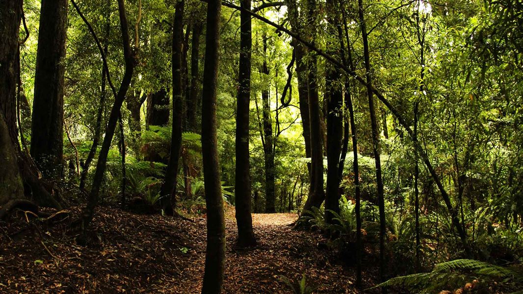
This section of the track is graded as a route, not a track. The way is marked but there is no formed track. This is the longest and most strenuous part of the trip. The route from Manuoha Hut to Sandy Bay Hut on the shores of Lake Waikareiti winds down around the side of Manuoha through the 'Goblin Forest' (silver beech covered with moss and lichen). Twenty minutes from the hut the route passes onto a ridge system that eventually leads to the Pukepuke Range, after crossing the sources of the Waiotukupuna and Te Kei Streams and the Mokau River. This ridge is wide and has a canopy of beech with a coprosma and rice grass understory. There are views of Lake Waikareiti and glimpses of Kaipo Lagoon at different points along the route. About 5 hours from Manuoha Hut, the route veers to the right and descends to the Kaipo Lagoon. From the lagoon there is a well defined track down to Sandy Bay Hut. The track meanders past Sopps Hollow, Lake Henrietta and the Clay Patch which along the lagoon, make up 'The Tundra'. Two hours along this track will take you to the Waikareiti Track junction, with a further 5 minutes to the Sandy Bay Hut. Sandy Bay is large and shallow, ideal for swimming.
Sandy Bay - Āniwaniwa (alternative route via Lake Ruapani)
Time: 7 hr
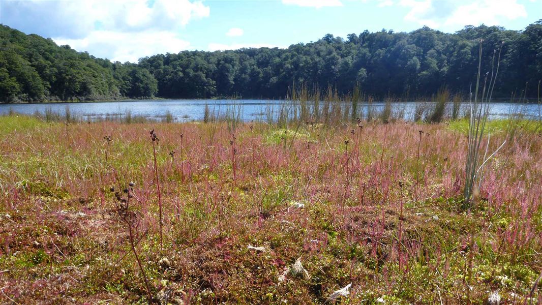
If you wish to see more of the area, there is a detour you can take through the Ruapani wetlands. This will add approximately 2 hours 45 minutes to your trip. Instead of taking the track to Waikareiti Shelter, take a fork to the right, approximately 2 hours 30 minutes to the south of the Sandy Bay Hut. This track takes you past several small, swampy water basins that attract birds such as robins, kaka, kakariki and rifleman. There is also a good view back to Manuoha. Two and a half hours from the Waikareiti Track junction you will come to Lake Ruapani, a larger body of water with no obvious outlet. The lake is in a small basin surrounded by beech forest, with smaller shrubs and grasses closer to the water's edge. Another 1 hour 30 minutes along the track and slightly downhill, is the Ruapani Wetland. This is part of the same system of water basins. There is kahikatea (white pine) in this area, thriving in the damp conditions. Past the wetland the track drops down for another 45 minutes to its end, giving good views of Lake Waikaremoana and the Ngamoko Range along the way. At the end of the track turn right to reach the start of the Waikareiti Track on SH38.
Lake Waikareiti Walk · 2 hr
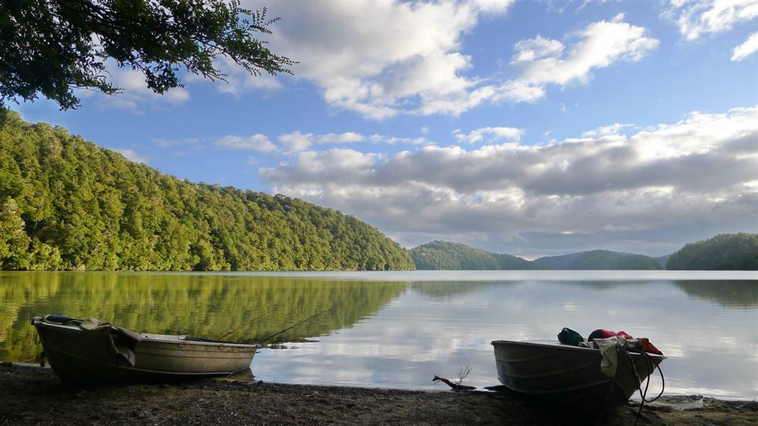
Beyond the day shelter a tramping track runs to Sandy Bay Hut at the northern end of the lake (a further 3 hours from the day shelter). The hut (bookings required) lies idyllically on the shores of a shallow bay which features brilliant white sand.
Source: DOC Te Papa Atawhai.
Trip options
Walking times come from DOC track descriptions, added up leg by leg from car-accessible trailheads. Nights and return times are ParkUp estimates, allowing about 8 hours of walking a day.
6 options · 1 to 2 nights
Northern Junction
Walking in
1 hr 55 min
Walking out
45 min to Billy Goat Point
Walking in
1 hr 55 min
Walking out
1 hr 55 min to Northern Junction
Billy Goat Point
Tracks used: Manuoha to Waikareiti Track → Pōhutukawa Track
Walking in
45 min
Walking out
14 hr to Manuoha
Source: DOC Te Papa Atawhai track descriptions.
Fees and bookings
1 May - 30 September
1 October - 30 April
Weekdays
Weekends
1 December - 29 February
Weekdays
Weekends
Backcountry Hut Passes and Backcountry Hut Tickets cannot be used at this hut.
Bookings are open for stays up to 30 June 2027. If no availability shows online for your dates, the hut is fully booked. No spaces are kept for visitors arriving without a booking. Phone and in‑person bookings made at a visitor centre incur a $10 service fee. Same‑day bookings are available online until 8 pm if spaces remain. Book Sandy Bay Hut online . Your hut booking is for any bunk bed, not for a specific bunk bed – select your bunk bed on arrival.
Source: DOC Te Papa Atawhai.
On these tracks
Source: DOC Te Papa Atawhai.
Nearby stops

Waikaremoana Holiday Park
Serviced • Hawke's Bay • 6.5 km
Waikaremoana Holiday Park is a family-oriented campsite in Hawke's Bay. It offers a quiet base for rest before or after completing the Lake Waikaremoana Great…
BBQ • Boat launching • Cookers/electric stove
Manuoha Hut
Hawke's Bay • 7.7 km
Heating • Mattresses • Toilets - non-flush

Mokau Landing Campsite
Standard • Hawke's Bay • 9.3 km
Mokau Landing Campsite is a large grassy site situated between native rainforest and Lake Waikaremoana. It is located 1.5 km from Mōkau Falls in the Hawke's…
Boat launching • Fire pit/place for campfires (except in fire bans) • Non-powered/tent sites

Rosie Bay Campsite
Basic • Hawke's Bay • 10.7 km
Rosie Bay Campsite is located on the shore of Lake Waikaremoana in a secluded bay. It serves as a popular base for lake activities and offers views of the…
Fire pit/place for campfires (except in fire bans) • Non-powered/tent sites • Water from stream

Te Taita A Makoro Campsite
Basic • Hawke's Bay • 11.7 km
Te Taita A Makoro is a basic campsite located in the Te Urewera area of Hawke's Bay. The site offers a streamside setting suitable for camping, hunting,…
Non-powered/tent sites • Water from tap - not treated, boil before use • Wheelchair accessible with assistance
Walks nearby
Contact
Hut and campsite bookings
Te Kura Whenua, 6249 Lake Road/SH38, Waikaremoana 4195, Te Urewera
Regional DOC service centre.
Notes from people who have been
No notes yet. If you have been, say what you found.
Something missing or out of date?
Closed, moved, wrong facts, or something we have missed? Travellers keep the Road Guide up to date. Tell us what you found at contribute@parkup.nz and we will check it and add it.
Ask us to take this down
A person reads every request. We do not remove a place until we have checked it.
Sources
- OpenStreetMap Huts · ODbL (Open Database License)Contains information from OpenStreetMap, made available under the ODbL.
- DOC Huts · CC BY 4.0Data sourced from the Department of Conservation (DOC), New Zealand.
- DOC Huts (API) · CC BY 4.0Crown Copyright: Department of Conservation Te Papa Atawhai. Data sourced from the DOC Developer Portal (api.doc.govt.nz).