Old Māori Trail
WalkHawke's Bay
- Grade
- Advanced
- Walking time
- 2 hr
- Dogs
- No dogs
Getting there
We have not checked a road end or car park for this place yet, so we do not give driving directions to it. Check how to get there before you go. Some routes cross private land and need the landowner's permission.
How to get there, on doc.govt.nzLake Waikaremoana is located in Te Urewera on the East Coast of the North Island of New Zealand.
Source: DOC Te Papa Atawhai.
Map
Map data © OpenStreetMap contributors. Topo map: LINZ, CC BY 4.0. 38.78771° S, 177.15136° E
About this place
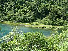
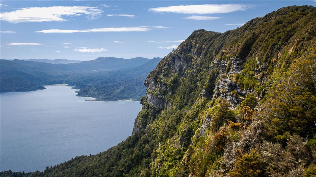
The Old Māori Trail is also know as the Rosie Bay - Lake Kaitawa Track and follows what was once a Māori trail to the lake.
The route
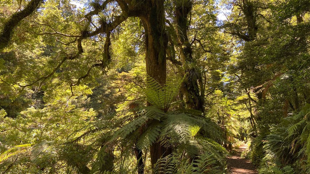
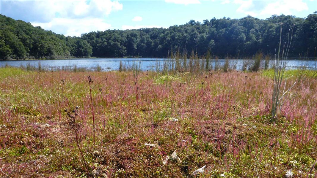
Starting at Rosie Bay, the track follows what was a traditional Māori route to Lake Kaitawa. It follows a valley which arcs around the trailing edge of the landslide block which slid from Ngamoko – see Lou’s Lookout description in Lake Waikaremoana area short walks . It features grassy clearings and some beautifully formed totara and matai trees. After passing through dense bush the track descends gradually to Lake Kaitawa.
Source: DOC Te Papa Atawhai.
Nearby stops

Rosie Bay Campsite
Basic • Hawke's Bay • 1.8 km
Rosie Bay Campsite is located on the shore of Lake Waikaremoana in a secluded bay. It serves as a popular base for lake activities and offers views of the…
Fire pit/place for campfires (except in fire bans) • Non-powered/tent sites • Water from stream

Waikaremoana Holiday Park
Serviced • Hawke's Bay • 3.8 km
Waikaremoana Holiday Park is a family-oriented campsite in Hawke's Bay. It offers a quiet base for rest before or after completing the Lake Waikaremoana Great…
BBQ • Boat launching • Cookers/electric stove

Mokau Landing Campsite
Standard • Hawke's Bay • 8.1 km
Mokau Landing Campsite is a large grassy site situated between native rainforest and Lake Waikaremoana. It is located 1.5 km from Mōkau Falls in the Hawke's…
Boat launching • Fire pit/place for campfires (except in fire bans) • Non-powered/tent sites
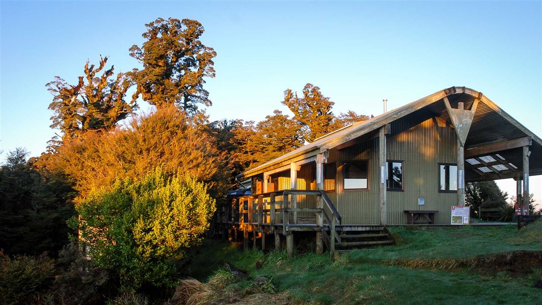
Panekire Hut
Great Walk • 36 bunks • Hawke's Bay • 9.1 km
Panekire Hut is a 36-bunk hut located on the Waikaremoana Track in the Te Urewera area of Hawke's Bay.
Heating • Mattresses • Toilets - non-flush

Sandy Bay Hut
Serviced • 18 bunks • Hawke's Bay • 10.2 km
Sandy Bay Hut is a serviced 18-bunk hut located on the Lake Waikareiti Walk in the Te Urewera area of Hawke's Bay.
Heating • Mattresses • Toilets - non-flush
Walks nearby
Notes from people who have been
No notes yet. If you have been, say what you found.
Something missing or out of date?
Closed, moved, wrong facts, or something we have missed? Travellers keep the Road Guide up to date. Tell us what you found at contribute@parkup.nz and we will check it and add it.
Ask us to take this down
A person reads every request. We do not remove a place until we have checked it.
Sources
- DOC Tracks (API) · CC BY 4.0Crown Copyright: Department of Conservation Te Papa Atawhai. Data sourced from the DOC Developer Portal (api.doc.govt.nz).