Mangatepopo Hut
Great Walk hutTongariro National Park, Manawatū-WhanganuiOpen
- Sleeps
- 20 bunks
- Booking
- Can book
- Cost
- Fee applies
- Heating
- Yes
- Drinking water
- Boil first
- Toilet
- Non-flush
Getting there
We have not checked a road end or car park for this place yet, so we do not give driving directions to it. Check how to get there before you go. Some routes cross private land and need the landowner's permission.
How to get there, on doc.govt.nzThe approximate tramping time and distance from:
Source: DOC Te Papa Atawhai.
Map and tracks
Track lines: DOC Te Papa Atawhai. Map data © OpenStreetMap contributors. Topo map: LINZ, CC BY 4.0. 39.14467° S, 175.59669° E
About this place
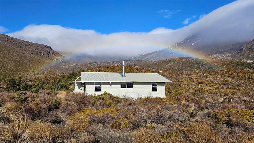
This is a 20-bunk hut located on the Tongariro Northern Circuit in Ruapehu.
On the way here
Tongariro Northern Circuit · 3-4 days
Whakapapa Village to Mangatepopo Hut
Time: 3-5 hr, weather dependent
9.4 km This section of track is closed due to the 2025 Tongariro fire and will not be available for the 2026/27 Great Walk season. The map has been updated to show this change and the distance reduced to 35.5 km from 44.9 km. We recommend starting your walk from the Mangatepopo Carpark. Find information about parking and getting to the start of the track in the Getting there section.
Mangatepopo Carpark to Mangatepopo Hut
Time: 25 min
1.7 km It is just 25 minutes’ walk on a well-formed track from Mangatepopo car park to the hut, making it a perfect tramp for many ages and abilities. You can enjoy the incredible landscapes of Mangatepopo Valley from the hut, or on the Soda Springs Walk.
Mangatepopo Hut to Emerald Lakes
Time: 3 hr 30 min
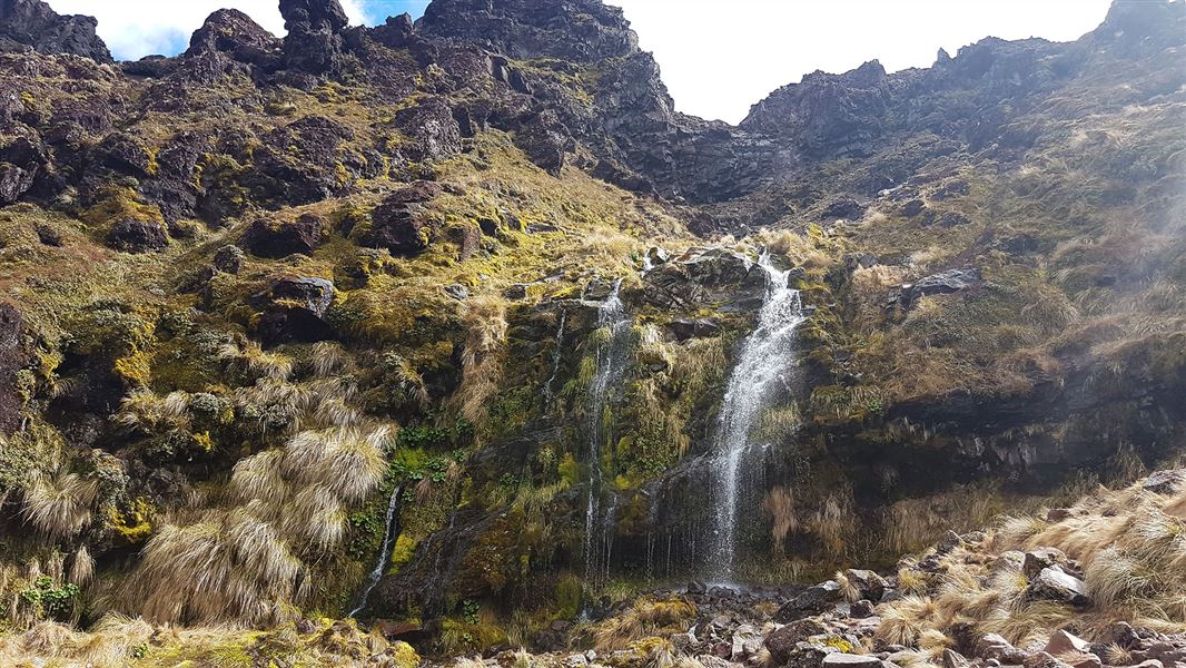
km The track follows Mangatepopo stream up the valley, climbing over a succession of old lava flows from Ngauruhoe. The youngest, very black, lava flows were erupted from Ngauruhoe in 1949 and 1954. A five minute detour at the head of the valley leads to the cold Soda Springs and waterfall, which emerge beneath an old lava flow. In spring and summer moisture loving plants such as white foxgloves and yellow buttercups thrive in the area. The steep climb required to reach the Mangatepopo Saddle rewards climbers views of the valley and if clear, Mt Taranaki to the west. From the saddle the track crosses South Crater, not a true crater but a drainage basin between the surrounding volcanic landforms. Ahead more recent lava flows can be seen spilling over from Red Crater. The climb up to Red Crater offers splendid views of Oturere Valley and Kaimanawa Ranges to the east. Loose rocks and stones on the steep slopes of Red Crater present a major slip hazard - walkers are advised to extra time and care. The main track continues on past the rim of Red Crater itself. The spectacular formation on the far side of the crater is a dike, an old magma feeding pipe to the vent of the volcano. Harder than the ash and scoria around it erosion has left it exposed on the side of the crater. North Crater is the large flat topped crater to the north. This vent once contained a lava lake which cooled to infill the crater. Blue Lake is visible from the top of Red Crater, across the Central Crater - which like South Crater is actually another drainage basin. Blue Lake has formed where cold fresh water fills an old vent. A loose, rocky ridge leads down to the spectacular Emerald Lakes, which fill old explosion pits. Their brilliant colouring is caused by minerals washed down from the thermal area of Red Crater. The Tongariro Alpine Crossing continues from Emerald Lakes to Ketetahi Road.
Source: DOC Te Papa Atawhai.
Know before you go
Tongariro Alpine Crossing booking system
Day visitors to the hut should book to use the Tongariro Alpine Crossing Track . Hut users with a booking to stay overnight do not need to book to use the track.
Source: DOC Te Papa Atawhai.
Trip options
Walking times come from DOC track descriptions, added up leg by leg from car-accessible trailheads. Nights and return times are ParkUp estimates, allowing about 8 hours of walking a day.
2 options · 1 to 2 nights
Mangatepopo Carpark
Walking in
25 min
Walking out
25 min to Mangatepopo Carpark
Walking in
25 min
Walking out
13 hr to Whakapapa Village (via Oturere Hut, Waihohonu Hut)
Source: DOC Te Papa Atawhai track descriptions.
Fees and bookings
Te Araroa – The Trail Pass Te Araroa Trail Pass
In the Great Walks season: Book Mangatepopo Hut online , or contact the Tongariro National Park Visitor Centre. Read the terms and conditions before you book. Outside the Great Walks season, bookings are still required but are at a reduced rate and have reduced services. If no availability shows online for your dates, the hut is fully booked. No spaces are kept for visitors arriving without a booking. Phone and in person bookings made at a visitor centre incur a $10 service fee. Same day bookings are available online until 8 pm if spaces remain.
Source: DOC Te Papa Atawhai.
On these tracks
Source: DOC Te Papa Atawhai.
Nearby stops

Oturere Campsite
Great Walk • Waikato • 8.1 km
Oturere Campsite is a walk-in campsite on the Tongariro Northern Circuit in the Waikato region. Bookings are required during the Great Walks season.
Non-powered/tent sites • Water from tap - not treated, boil before use • Toilets - non-flush
Old Waihohonu Hut
Waikato • 9.7 km
Old Waihohonu Hut is a hut located in the Waikato region. The available records provide no further details regarding its facilities or specific location.

Waihohonu Campsite
Great Walk • Waikato • 10.1 km
Waihohonu Campsite is a walk-in campsite located on the Tongariro Northern Circuit and the Round the Mountain Track in the Waikato region. Bookings are…
Non-powered/tent sites • Water from tap - not treated, boil before use • Toilets - non-flush

Waihohonu Hut
Great Walk • 28 bunks • Waikato • 10.2 km
Waihohonu Hut is a 28-bunk hut located on the Tongariro Northern Circuit Great Walk in the Waikato region.
Cooking • Heating • Mattresses

Mangatepopo Campsite
Great Walk • Manawatū-Whanganui • 0 km
Mangatepopo Campsite is a walk-in campsite located on the Tongariro Northern Circuit. Bookings are required during the Great Walks season.
Water from tap - not treated, boil before use • Toilets - non-flush • Toilets
Walks nearby
Soda Springs Walk
Easy • 2 hr return • 6 km • 0.51 km away
Tongariro Alpine Crossing
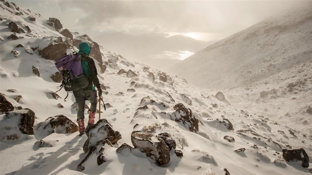
Intermediate • Nov-Apr: 7-8 hr | May-Oct: 9 hr • 20.2 km • 2.71 km away
Tama Lakes Track
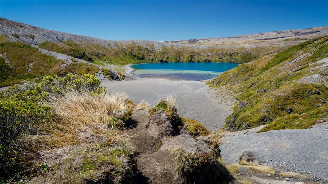
Intermediate • 5-6 hr (to Lower Tama Lake) • 17. 6 km • 5.88 km away
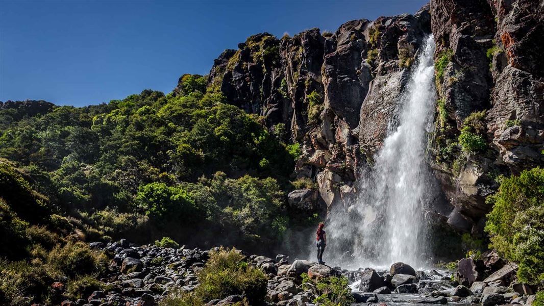
Taranaki Falls Walk
Easy • 2 hr • 6 km • 7.33 km away
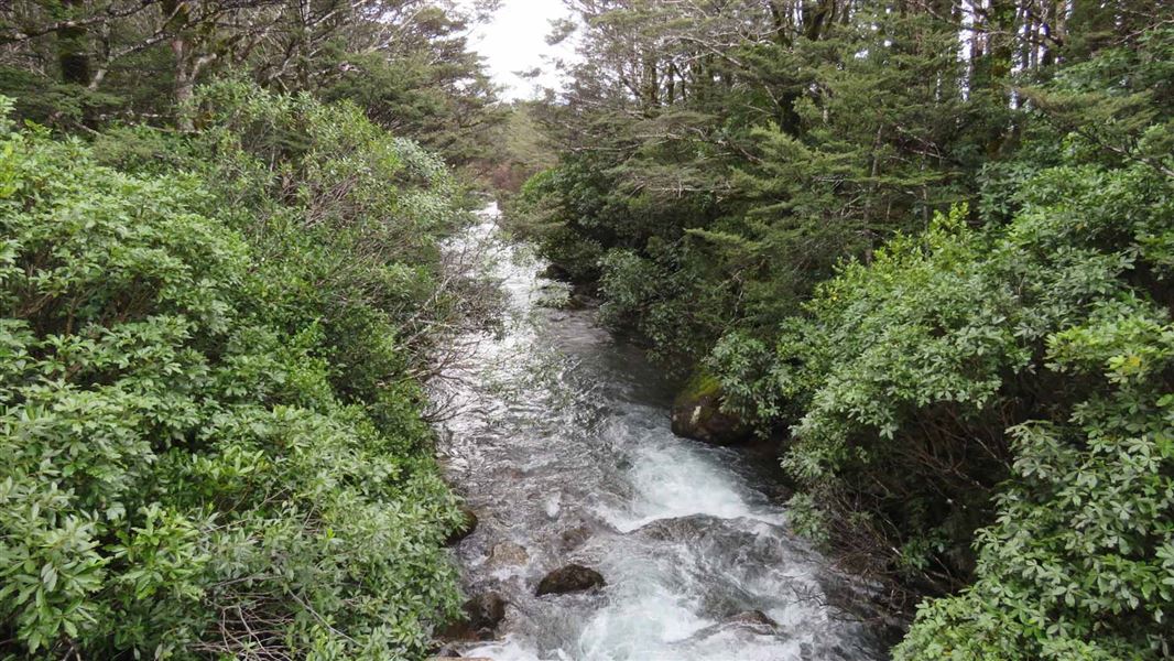
Whakapapanui Walk
Easy • 2 hr return • 6 km • 7.71 km away
Contact
Tongariro National Park Visitor Centre
Whakapapa Village, State Highway 48, Mount Ruapehu 3951
Regional DOC service centre.
Notes from people who have been
No notes yet. If you have been, say what you found.
Something missing or out of date?
Closed, moved, wrong facts, or something we have missed? Travellers keep the Road Guide up to date. Tell us what you found at contribute@parkup.nz and we will check it and add it.
Ask us to take this down
A person reads every request. We do not remove a place until we have checked it.
Sources
- DOC Huts (API) · CC BY 4.0Crown Copyright: Department of Conservation Te Papa Atawhai. Data sourced from the DOC Developer Portal (api.doc.govt.nz).
- DOC Huts · CC BY 4.0Data sourced from the Department of Conservation (DOC), New Zealand.
- OpenStreetMap Huts · ODbL (Open Database License)Contains information from OpenStreetMap, made available under the ODbL.