Taranaki Falls Walk
WalkManawatū-Whanganui
- Grade
- Easy
- Walking time
- 2 hr
- Distance
- 6 km
- Dogs
- No dogs
Access: read before you go
Flying a drone without a permit is strictly prohibited. Drone use on conservation land
Source: DOC Te Papa Atawhai.
Getting there
We have not checked a road end or car park for this place yet, so we do not give driving directions to it. Check how to get there before you go. Some routes cross private land and need the landowner's permission.
How to get there, on doc.govt.nzThe track is in Whakapapa Village on SH48. It starts 100 m below the Tongariro National Park Visitor Centre on Ngauruhoe Place.
Source: DOC Te Papa Atawhai.
Map
Map data © OpenStreetMap contributors. Topo map: LINZ, CC BY 4.0. 39.20080° S, 175.55199° E
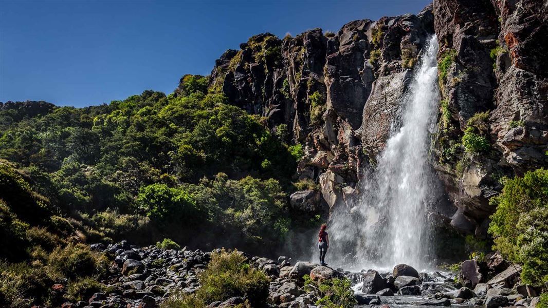
About this place
Walk to Taranaki Falls (20 m) and enjoy excellent mountain views and a range of land forms on a loop track. This track is part of Te Araroa Trail.
The route
This track is part of Te Araroa Trail . The lower track (more sheltered on windy days) passes through tussock and alpine shrublands before entering beech forest. On a clear day Ngauruhoe’s symmetrical cone and the older, eroded mountains of Tongariro and Pukekaikiore are visible. Once in the forest, the track descends to Wairere Stream then climbs alongside it, passing Cascade Falls. The forest consists mainly of large mountain beech trees, shiny broadleaf, mountain five-finger, umbrella ferns and mountain toatoa. Small native birds such as whiteheads, grey warbler and rifleman are commonly seen. From the forest edge the track passes over the Wairere Stream with impressive views of a small narrow gorge. Continuing on up the track, Taranaki Falls comes into view tumbling 20 metres over the edge of a large andesite lava flow which erupted from Ruapehu 15,000 years ago. The trail from the falls climbs up a flight of 100 steps to a forest of mountain toatoa before joining the Tama Lakes Track. Turn right to return to Whakapapa, cross Wairere Stream and climb the shoulder of the lava flow, now covered with red tussock. Native birds likely to be heard in this area include pipits, fernbirds and occasionally skylarks. The return track crosses a series of eroded gullies formed by wind, rain and frost action on volcanic soils. As the trail begins to sidle around the slopes of Mount Ruapehu, it merges with the wider old Waihohonu horse trail. Here, layers of pumice and ash from previous eruptions are exposed. After passing through the last patch of bush, the track emerges again into red tussock and manuka, leading easily back to the village.
Source: DOC Te Papa Atawhai.
Know before you go
No drones
Flying a drone without a permit is strictly prohibited. Drone use on conservation land
Source: DOC Te Papa Atawhai.
Nearby stops
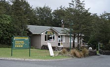
Whakapapa Holiday Park
Serviced • Manawatū-Whanganui • 1.1 km
Whakapapa Holiday Park is a campsite set in a mountain beech forest beside a stream. It serves as a base for short walks within the national park, with skiing…
BBQ • Cookers/electric stove • Non-powered/tent sites
Whakapapa Holiday Park cabins and lodge
Manawatū-Whanganui • 1.1 km
Alpine Sports Ski Lodge A-Frame
Manawatū-Whanganui • 4.2 km
The Alpine Sports Ski Lodge A-Frame is a hut located in the Manawatū-Whanganui region. It is a simple accommodation option for visitors in the area.
Alpine Sports Ski Lodge Ruapehu
Manawatū-Whanganui • 4.2 km
Alpine Sports Ski Lodge Ruapehu is a hut located in the Manawatū-Whanganui region. It is situated near the ski fields of Mount Ruapehu.
Christiania Hut
Manawatū-Whanganui • 4.2 km
Christiania Hut is a basic shelter located in the Manawatū-Whanganui region. It provides a simple overnight stop for hikers and outdoor enthusiasts in the area.
Walks nearby
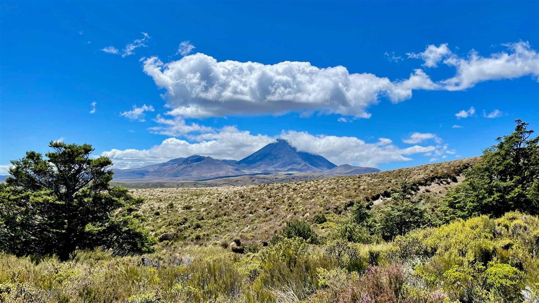
Ridge Track
Easy • 40 min • 1.2 km • 0.82 km away
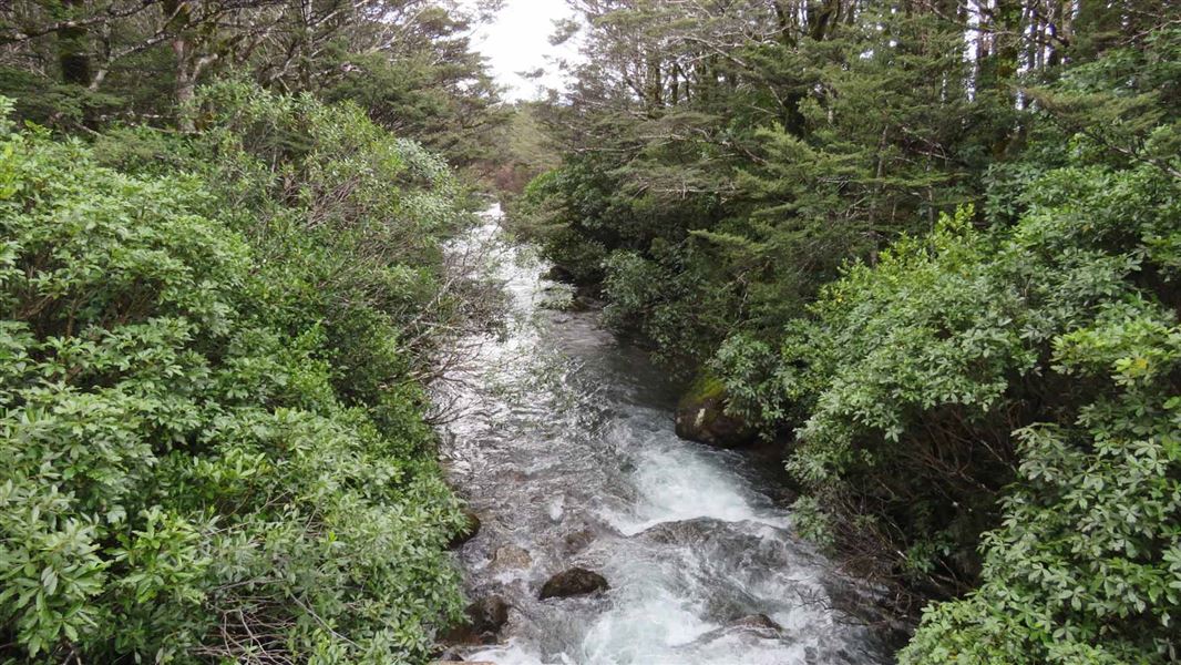
Whakapapanui Walk
Easy • 2 hr return • 6 km • 2.03 km away
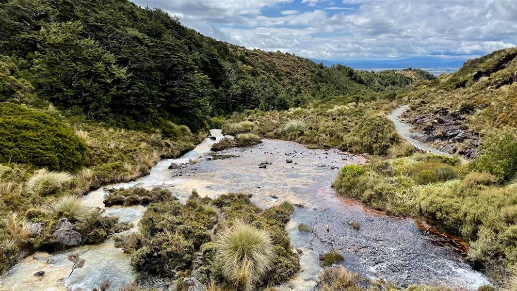
Silica Rapids Walk
Easy • 2 hr 30 min • 7 km • 2.36 km away
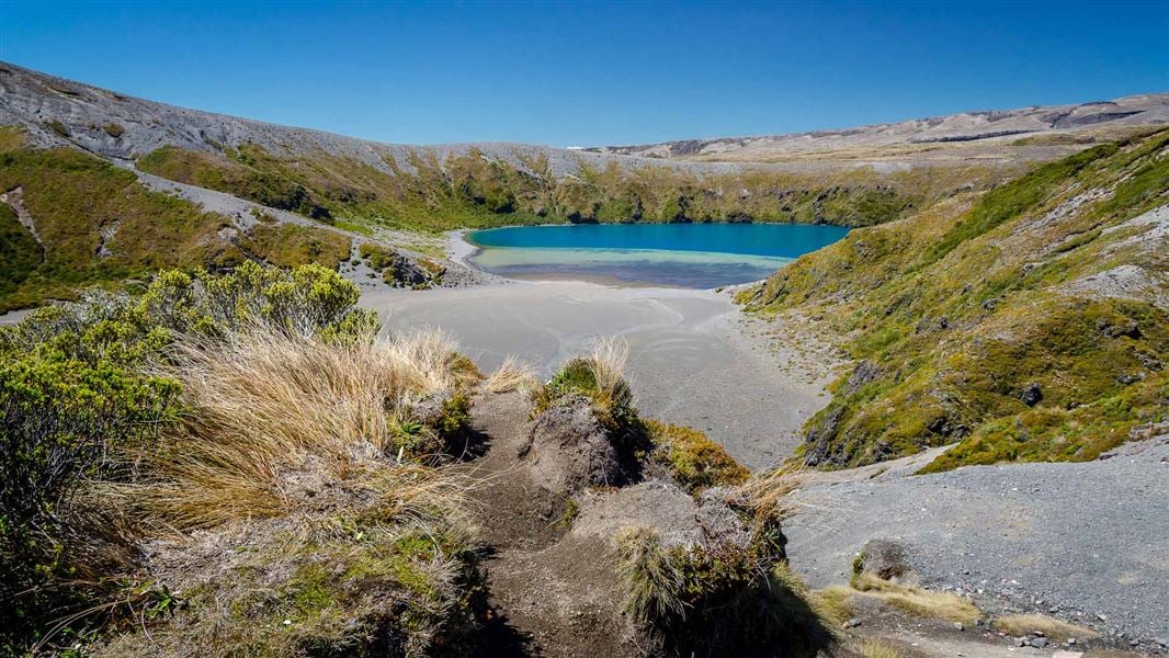
Tama Lakes Track
Intermediate • 5-6 hr (to Lower Tama Lake) • 17. 6 km • 3.07 km away
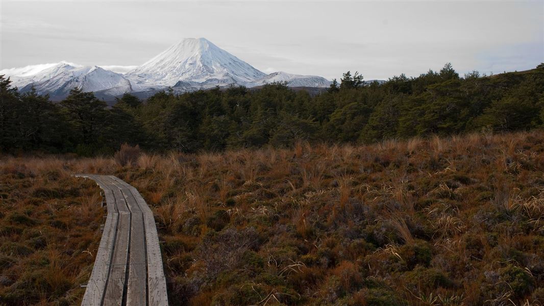
Whakapapaiti Valley Track
Advanced • 4 - 5 hr • 16 km • 3.65 km away
Notes from people who have been
No notes yet. If you have been, say what you found.
Something missing or out of date?
Closed, moved, wrong facts, or something we have missed? Travellers keep the Road Guide up to date. Tell us what you found at contribute@parkup.nz and we will check it and add it.
Ask us to take this down
A person reads every request. We do not remove a place until we have checked it.
Sources
- DOC Tracks (API) · CC BY 4.0Crown Copyright: Department of Conservation Te Papa Atawhai. Data sourced from the DOC Developer Portal (api.doc.govt.nz).
- OpenStreetMap Trails · ODbL (Open Database License)Contains information from OpenStreetMap, made available under the ODbL.