Whakapapaiti Valley Track
WalkManawatū-Whanganui
- Grade
- Advanced
- Walking time
- 5 hr
- Distance
- 16 km
- Dogs
- No dogs
Access: read before you go
Flying a drone without a permit is strictly prohibited. Drone use on conservation land
Source: DOC Te Papa Atawhai.
Getting there
We have not checked a road end or car park for this place yet, so we do not give driving directions to it. Check how to get there before you go. Some routes cross private land and need the landowner's permission.
How to get there, on doc.govt.nzThe Whakapapaiti Valley track begins in Whakapapa Village 250 metres above the Tongariro National Park Visitor Centre. The upper section begins 5 kilometres up the Bruce Road from Whakapapa Village.
Source: DOC Te Papa Atawhai.
Map and tracks
Track lines: DOC Te Papa Atawhai. Map data © OpenStreetMap contributors. Topo map: LINZ, CC BY 4.0. 39.21514° S, 175.51390° E
About this place
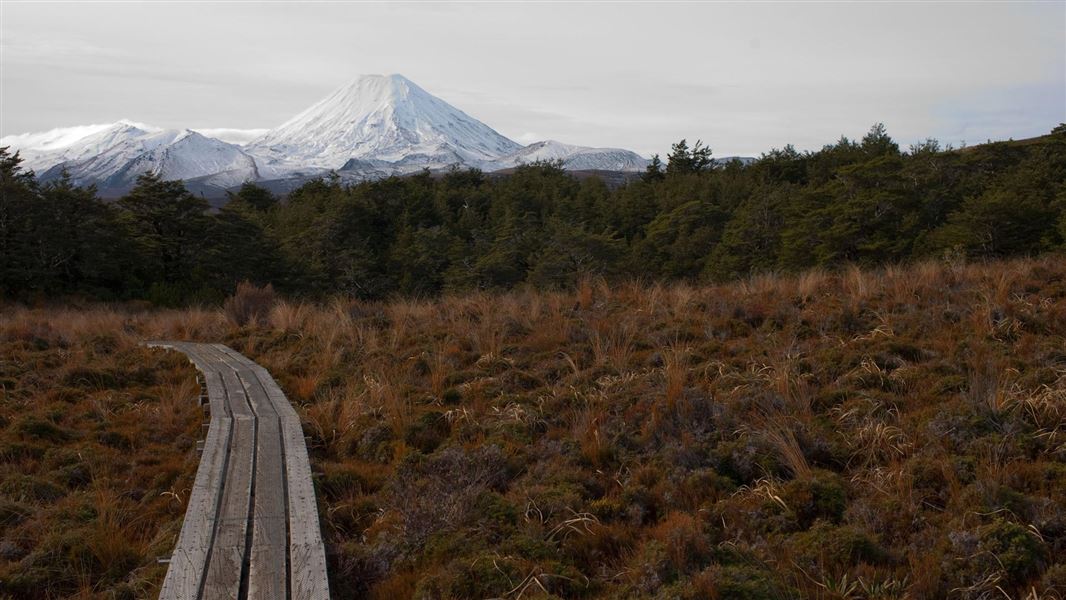
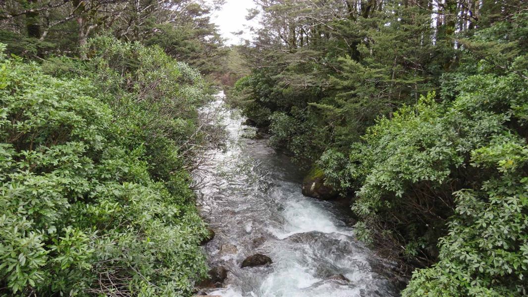
Winding through stunted beech forest, the Whakapapaiti Valley Track makes its way to the Whakapapaiti Hut. From here you can continue in a loop back to Whakapapa Village. This track is part of Te Araroa Trail.
The route
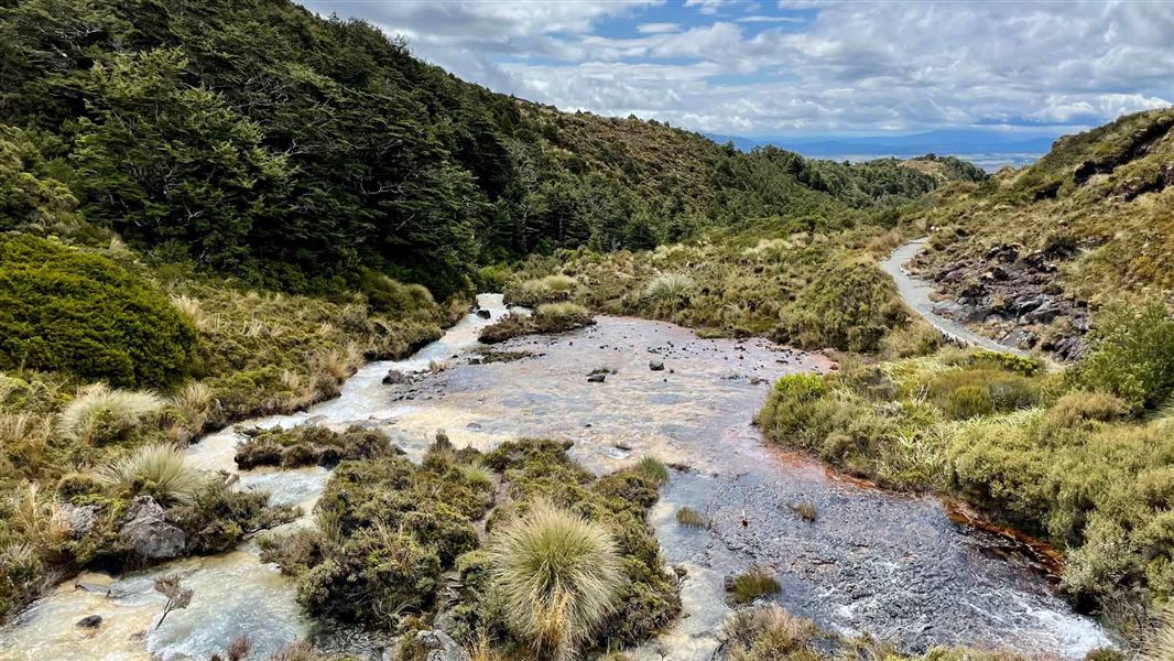
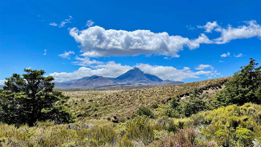
This track is part of Te Araroa Trail . This track can be walked in either direction, but is described going counter-clockwise. Follow Silica Rapids Track for about 45 minutes to the junction with Whakapapaiti Track. The track goes through forest then an open tussock-covered area. There is a bridged crossing of Whakapapaiti River, then the track continues up the valley, passing the junction with Mangahuia Track (2-3 hours to campsite). Further up the valley there is an unbridged river crossing - it may not be possible to cross safely when the river is high following or during rainfall. Whakapapaiti Hut is 10-15 minutes further up the track. Leaving the hut, the track winds its way through stunted beech forest, then up the valley to the Round the Mountain Track junction. Turn left here towards Bruce Road. The track zig-zags up and over a moraine ridge with great views of Whakapapaiti Valley and the surrounding landscape. Continue to the Scoria Flat area on the Bruce Road. Form here it is approximately 5 kilometres down the road to Whakapapa Village.
Source: DOC Te Papa Atawhai.
Know before you go
Stay safe when crossing rivers and streams
If you plan to cross unbridged rivers or side streams, know how to cross safely and be prepared for if you cannot cross. Do not cross if the river or stream is flooded, you cannot find safe entry and exit points or are unsure it’s safe. Turn back or wait for the river to drop. If in doubt, stay out. How to cross rivers safely NIWA river flow forecasts: View a video of national followed by regional river flows
No drones
Flying a drone without a permit is strictly prohibited. Drone use on conservation land
Source: DOC Te Papa Atawhai.
Joins these tracks
Source: DOC Te Papa Atawhai.
On this track
In walking order.

Nearby stops
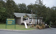
Whakapapa Holiday Park
Serviced • Manawatū-Whanganui • 2.6 km
Whakapapa Holiday Park is a campsite set in a mountain beech forest beside a stream. It serves as a base for short walks within the national park, with skiing…
BBQ • Cookers/electric stove • Non-powered/tent sites
Whakapapa Holiday Park cabins and lodge
Manawatū-Whanganui • 2.6 km
Alpine Sports Ski Lodge A-Frame
Manawatū-Whanganui • 4.3 km
The Alpine Sports Ski Lodge A-Frame is a hut located in the Manawatū-Whanganui region. It is a simple accommodation option for visitors in the area.
Alpine Sports Ski Lodge Ruapehu
Manawatū-Whanganui • 4.3 km
Alpine Sports Ski Lodge Ruapehu is a hut located in the Manawatū-Whanganui region. It is situated near the ski fields of Mount Ruapehu.
Waikato Ski Lodge
Manawatū-Whanganui • 4.6 km
Walks nearby
Notes from people who have been
No notes yet. If you have been, say what you found.
Something missing or out of date?
Closed, moved, wrong facts, or something we have missed? Travellers keep the Road Guide up to date. Tell us what you found at contribute@parkup.nz and we will check it and add it.
Ask us to take this down
A person reads every request. We do not remove a place until we have checked it.
Sources
- DOC Tracks (API) · CC BY 4.0Crown Copyright: Department of Conservation Te Papa Atawhai. Data sourced from the DOC Developer Portal (api.doc.govt.nz).