Kahikatea Walk
WalkManawatū-WhanganuiOpen
- Grade
- Easy
- Walking time
- 20 min
- Route
- Loop
- Dogs
- No dogs
Getting there
We have not checked a road end or car park for this place yet, so we do not give driving directions to it. Check how to get there before you go. Some routes cross private land and need the landowner's permission.
How to get there, on doc.govt.nzThe track is located in the Pohangina Valley about 40 minutes drive from Palmerston North. From Ashhurst, drive north along Pohangina Road, then turn right onto Pohangina Valley East Road and stay on this road. The track entrance is on the left approximately 1 km past Arbon's Road.
Source: DOC Te Papa Atawhai.
Map
Map data © OpenStreetMap contributors. Topo map: LINZ, CC BY 4.0. 40.08219° S, 175.90810° E
About this place
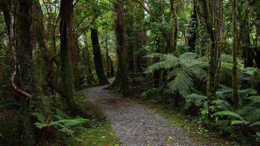
This easy walk is a great introduction to broadleaved forest suitable for young and old.
The route
The well defined and easy to follow track is suitable for the whole family (except those on wheels). As the name of the walk suggests, mature kahikatea are the stars in this reserve. Lie on your back, look up at the canopy and admire these majestic forest giants. The track is 6.3 km / 6 min drive south of Pohangina Base Campsite and Pohangina Base lodge . They are ideal accommodation options for exploring the area.
Source: DOC Te Papa Atawhai.
Nearby stops

Te Ekaou Hut
Standard • 6 bunks • Manawatū-Whanganui • 3.4 km
Te Ekaou Hut is a standard six-bunk hut located in the Manawatu-Whanganui region.
Heating • Mattresses • Toilets - non-flush

Piripiri Campsite
Basic • Manawatū-Whanganui • 4.1 km
Piripiri Campsite is a basic campsite located in a small clearing next to the Pohangina River in the Manawatū-Whanganui region. The campsite is currently…
Toilets
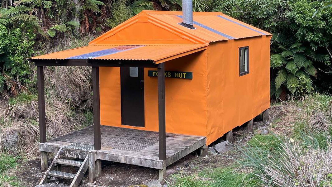
Forks Hut
Standard • 6 bunks • Manawatū-Whanganui • 4.5 km
Forks Hut is a standard six-bunk hut located in the Manawatu region.
Heating • Mattresses • Toilets - non-flush
Diggers Hut
4 bunks • Manawatū-Whanganui • 4.6 km
Diggers Hut is a hut located in the Manawatū-Whanganui region. The available records provide no further details regarding its facilities or specific location.
Pohangina Base
Manawatū-Whanganui • 5.7 km
Pohangina Base is a former DOC field centre located in native bush above the western bank of the Pohangina River. The hut offers bookable bunkrooms and a…
Walks nearby
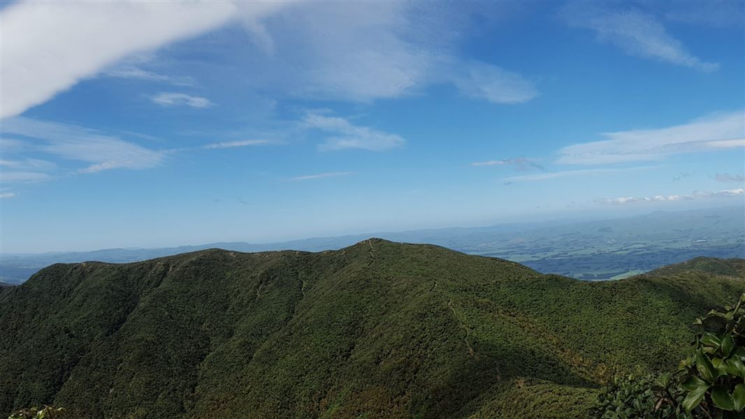
Maharahara Peak Track
Advanced • 4-6 hr • 9.43 km away
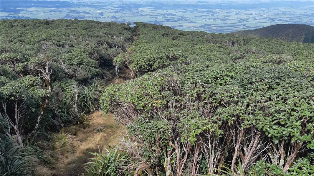
A-Frame Hut and Takapari Road Track
Advanced • 2 hr 30 min one way • 3.1 km one way • 10.25 km away

Kumeti Road end tramping tracks
Advanced • 10.41 km away
Rokaiwhana Stream Walk
Advanced • 2 hr return • 10.73 km away
Beehive Creek Walkway
Easy • 2-3 hr • 4 km • 10.79 km away
Notes from people who have been
No notes yet. If you have been, say what you found.
Something missing or out of date?
Closed, moved, wrong facts, or something we have missed? Travellers keep the Road Guide up to date. Tell us what you found at contribute@parkup.nz and we will check it and add it.
Ask us to take this down
A person reads every request. We do not remove a place until we have checked it.
Sources
- DOC Tracks (API) · CC BY 4.0Crown Copyright: Department of Conservation Te Papa Atawhai. Data sourced from the DOC Developer Portal (api.doc.govt.nz).
- DOC Tracks & Trails · CC BY 4.0Data sourced from the Department of Conservation (DOC), New Zealand.