Rokaiwhana Stream Walk
WalkManawatū-Whanganui
- Grade
- Advanced
- Walking time
- 2 hr
- Dogs
- DOC permit only
Getting there
We have not checked a road end or car park for this place yet, so we do not give driving directions to it. Check how to get there before you go. Some routes cross private land and need the landowner's permission.
How to get there, on doc.govt.nzTamaki Road end is located 13 km from Dannevirke.
Source: DOC Te Papa Atawhai.
Map
Map data © OpenStreetMap contributors. Topo map: LINZ, CC BY 4.0. 40.12594° S, 176.02055° E
About this place
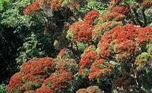
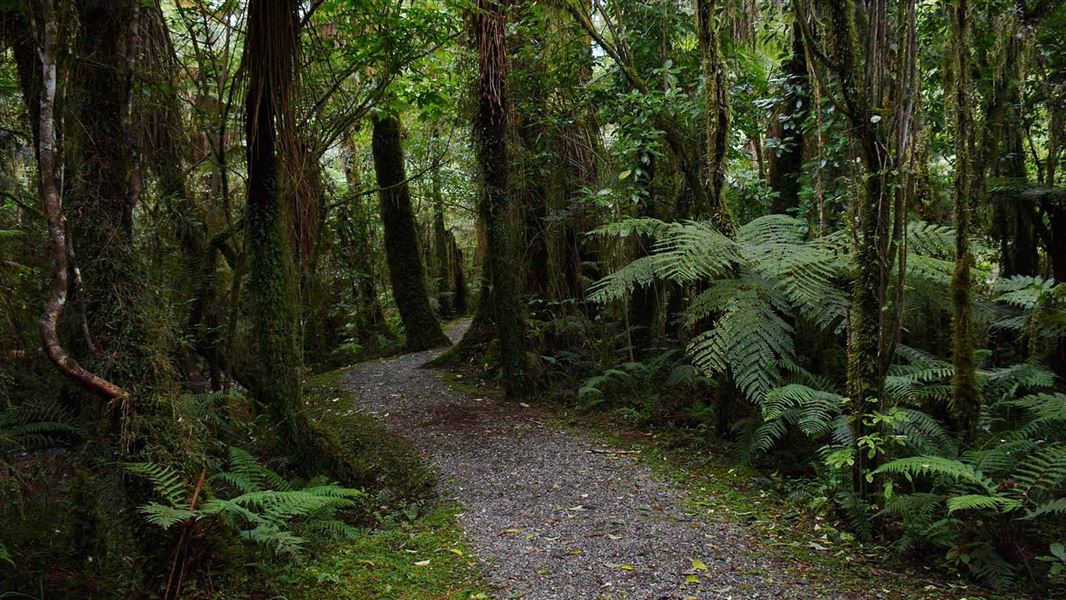
Rokaiwhana Stream Walk is a pleasant and easy 1-hour forest walk you get to from Tamaki Road end in Eastern Ruahine Forest.
The route
This is a tramping track that goes through low-level forest.
Source: DOC Te Papa Atawhai.
Nearby stops
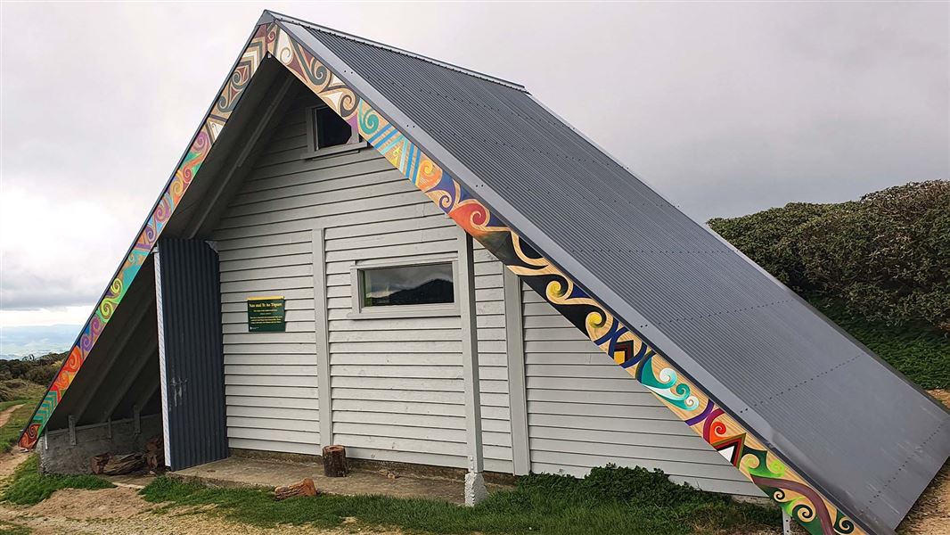
Traverse (A-Frame) Hut
Basic/bivvies • 2 bunks • Manawatū-Whanganui • 2.2 km
Traverse (A-Frame) Hut is a shelter on the Ruahine Range in the Manawatū-Whanganui region. It is situated amongst leatherwood and offers views to the west and…
Heating • Mattresses • Toilets - non-flush
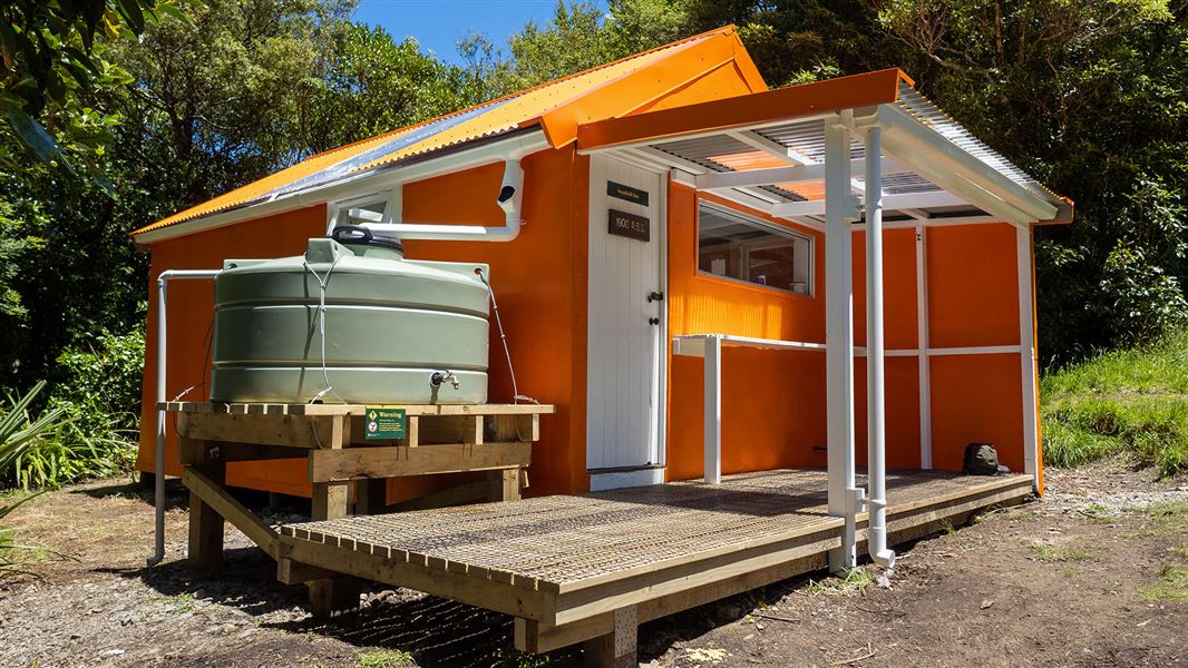
Stanfield Hut
Standard • 8 bunks • Manawatū-Whanganui • 4.8 km
Stanfield Hut is a standard eight-bunk hut located in the Hawke's Bay region. It serves as a suitable destination for day walks and provides overnight…
Cooking • Toilets - non-flush • Water from tap - not treated, boil before use
Diggers Hut
4 bunks • Manawatū-Whanganui • 6.2 km
Diggers Hut is a hut located in the Manawatū-Whanganui region. The available records provide no further details regarding its facilities or specific location.
Kumeti campsite
Manawatū-Whanganui • 6.3 km
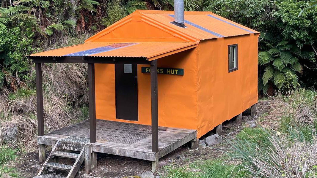
Forks Hut
Standard • 6 bunks • Manawatū-Whanganui • 7 km
Forks Hut is a standard six-bunk hut located in the Manawatu region.
Heating • Mattresses • Toilets - non-flush
Walks nearby
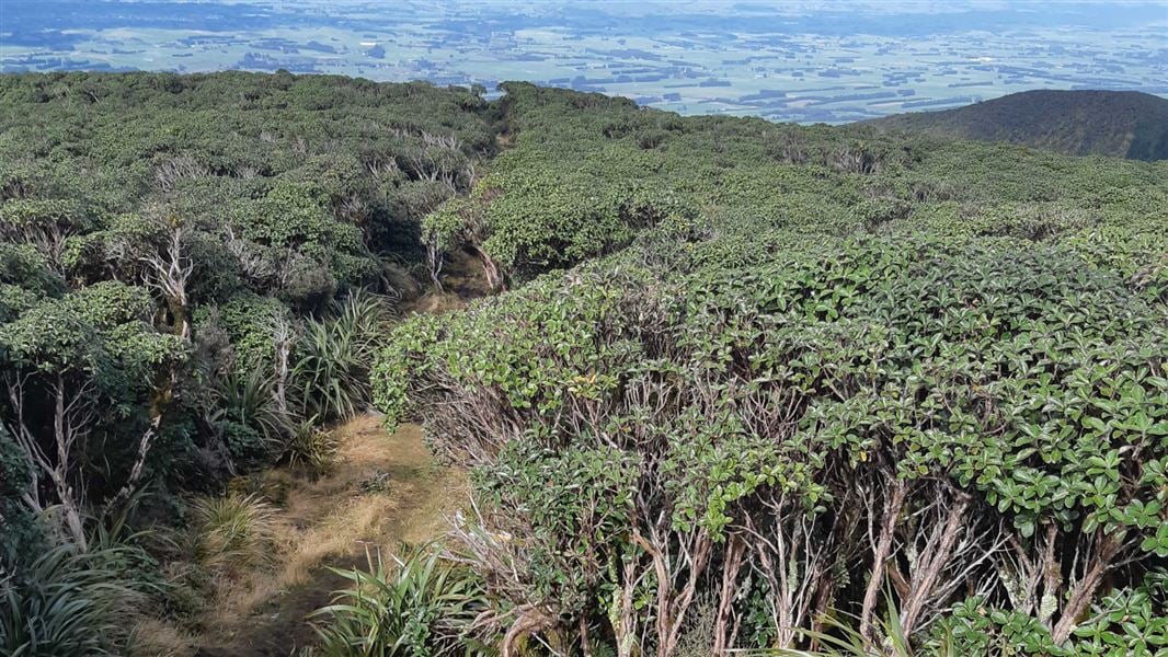
A-Frame Hut and Takapari Road Track
Advanced • 2 hr 30 min one way • 3.1 km one way • 1.25 km away
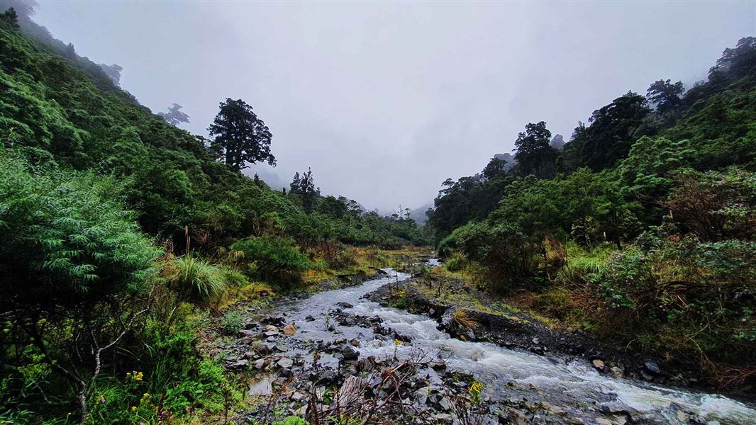
Homes Ridge Track
Advanced • 2 hr • 5 km • 2.59 km away
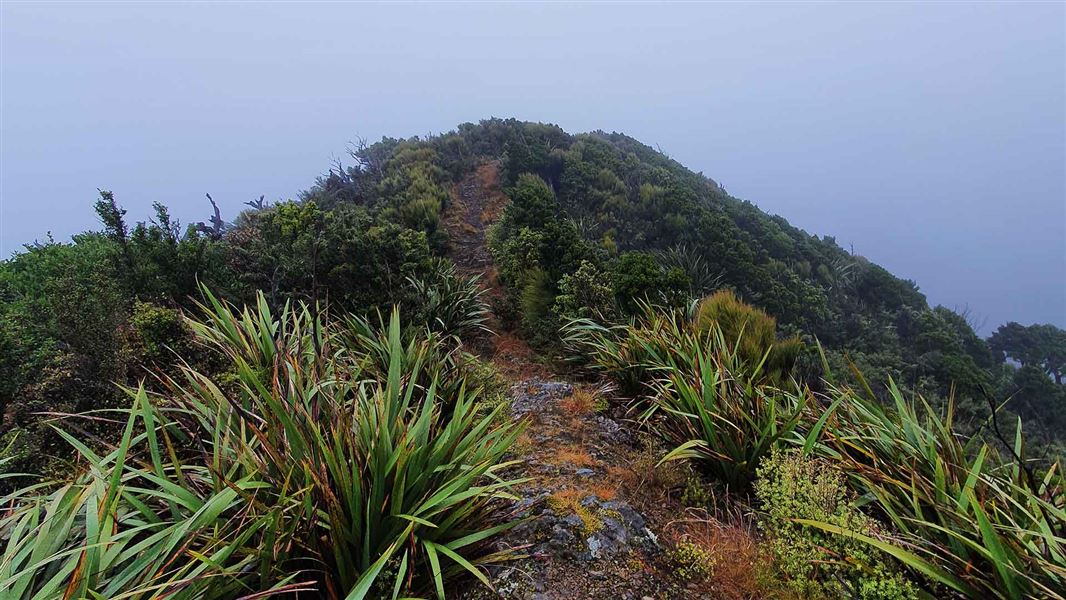
Stanfield Hut to Cattle Creek Hut Track
Advanced • 2 hr • 4 km • 6.34 km away
Kumeti Road end tramping tracks
Advanced • 9.55 km away
Kahikatea Walk
Easy • 20 min • 10.73 km away
Notes from people who have been
No notes yet. If you have been, say what you found.
Something missing or out of date?
Closed, moved, wrong facts, or something we have missed? Travellers keep the Road Guide up to date. Tell us what you found at contribute@parkup.nz and we will check it and add it.
Ask us to take this down
A person reads every request. We do not remove a place until we have checked it.
Sources
- DOC Tracks (API) · CC BY 4.0Crown Copyright: Department of Conservation Te Papa Atawhai. Data sourced from the DOC Developer Portal (api.doc.govt.nz).