Piripiri Campsite
Basic campsiteLocated in Pohangina Valley area, Manawatū-WhanganuiOpen
Current advisories
Piripiri Campsite closed
16 September 2026
Piripiri campsite is closed due to damage to the grounds by vehicles. This is a long term alert. First published on 6 July 2022. Last reviewed on 17 September 2026.
Source: DOC Te Papa Atawhai alerts.
- Sites
- 4
- Booking
- Not bookable
- Cost
- Free
- Toilet
- Yes
- Dogs
- Not Applicable
Getting there
Turn off State Highway 3 at Ashhurst, and drive north through Ashhurst onto Pohangina Road. At Raumai, turn right to cross the Pohangina River bridge and follow Pohangina Valley East Road past Totara Reserve and Takapari Road until reaching Piripiri Bridge. The campsite is on the left just before the bridge. It has a short steep access track that may be slippery when wet.
Source: DOC Te Papa Atawhai.
Map
Map data © OpenStreetMap contributors. Topo map: LINZ, CC BY 4.0. 40.05242° S, 175.93741° E
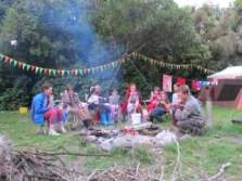
About this place
Piripiri Campsite is closed.
Nearby stops
Pohangina Base
Manawatū-Whanganui • 1.7 km
Pohangina Base is a former DOC field centre located in native bush above the western bank of the Pohangina River. The hut offers bookable bunkrooms and a…
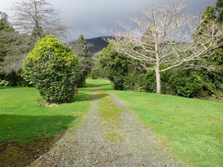
Pohangina Base Campsite
Standard • Manawatū-Whanganui • 1.7 km
Pohangina Base Campsite is a standard campsite located above the Pohangina River in the Manawatū-Whanganui region. It sits near the Ruahine Forest Park.
Non-powered/tent sites • Shower - hot • Toilets - flush
Diggers Hut
4 bunks • Manawatū-Whanganui • 5.6 km
Diggers Hut is a hut located in the Manawatū-Whanganui region. The available records provide no further details regarding its facilities or specific location.

Te Ekaou Hut
Standard • 6 bunks • Manawatū-Whanganui • 6.4 km
Te Ekaou Hut is a standard six-bunk hut located in the Manawatu-Whanganui region.
Heating • Mattresses • Toilets - non-flush
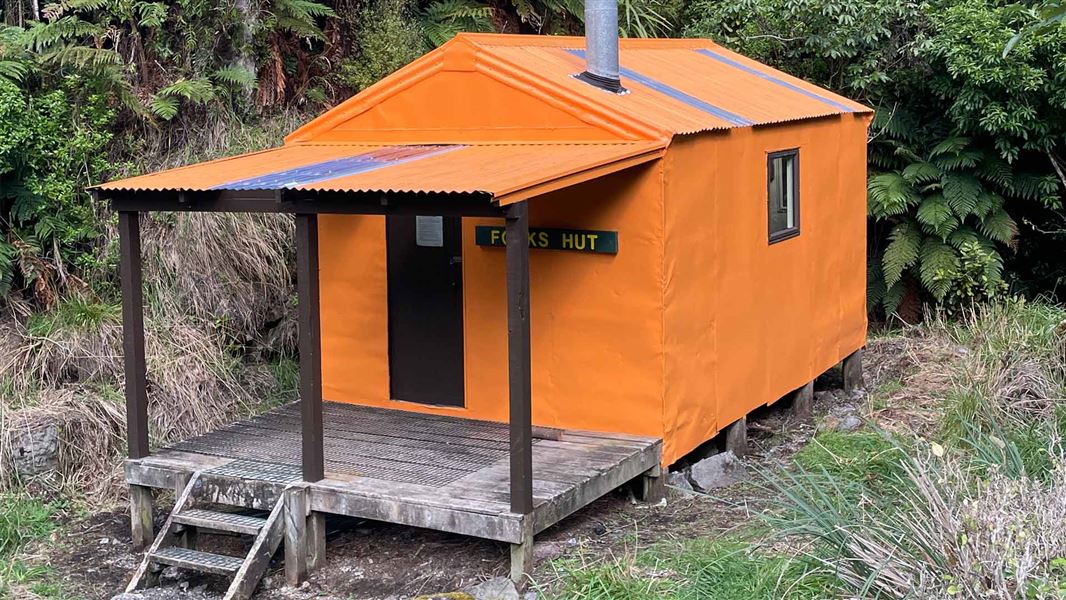
Forks Hut
Standard • 6 bunks • Manawatū-Whanganui • 6.8 km
Forks Hut is a standard six-bunk hut located in the Manawatu region.
Heating • Mattresses • Toilets - non-flush
Walks nearby
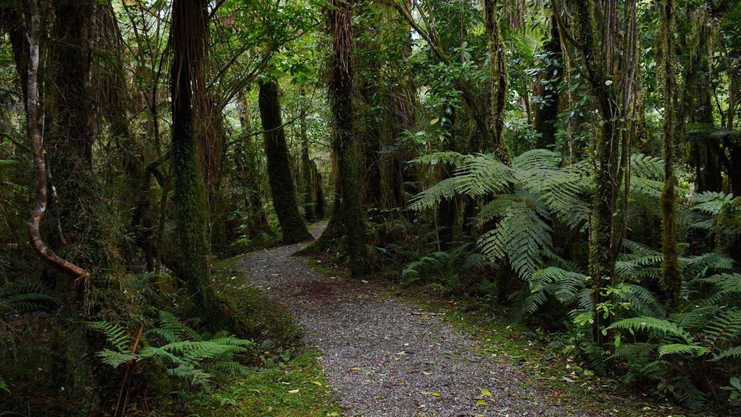
Kahikatea Walk
Easy • 20 min • 4.15 km away
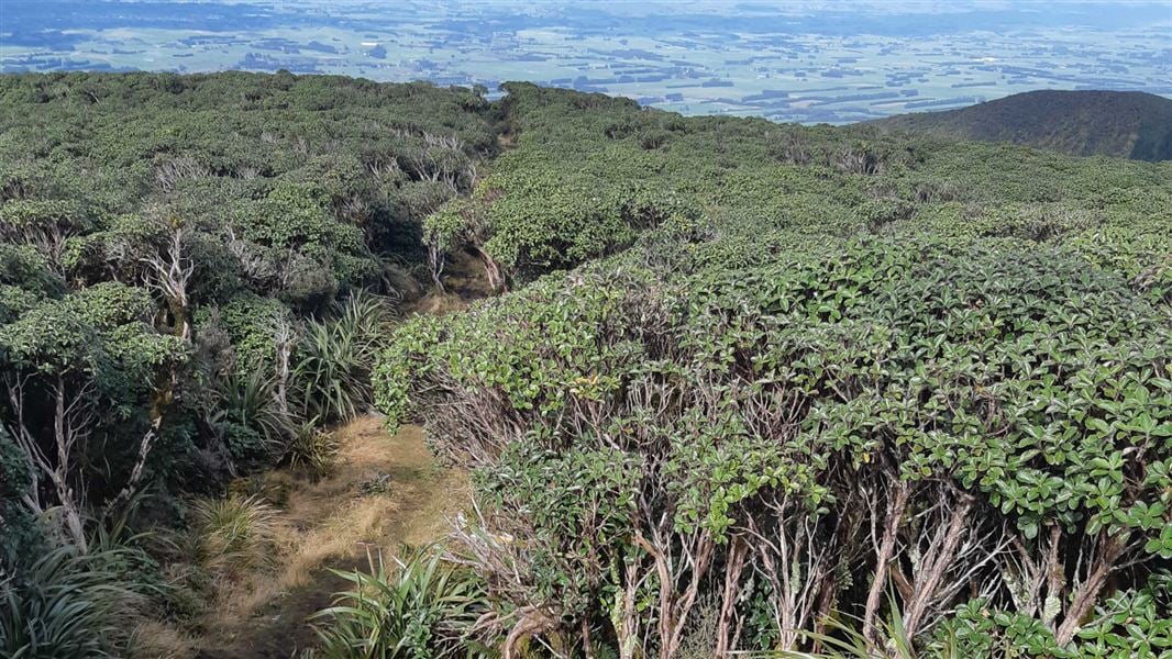
A-Frame Hut and Takapari Road Track
Advanced • 2 hr 30 min one way • 3.1 km one way • 9.92 km away
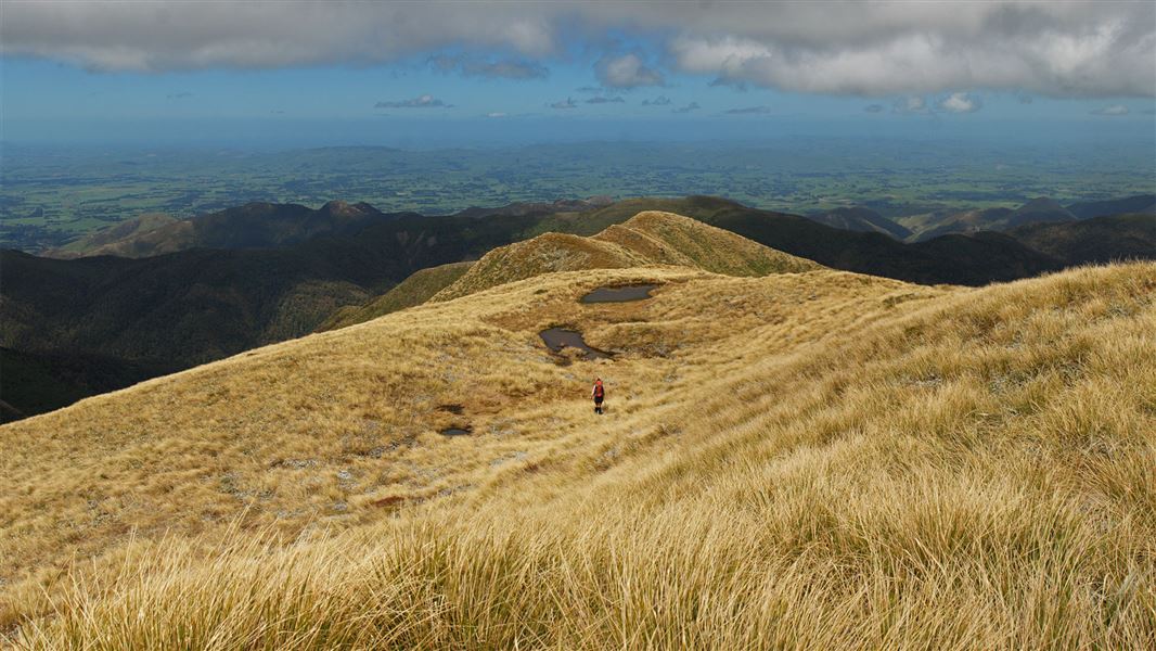
Limestone Road to Pohangina Valley East Road
Advanced • 3 days • 10.18 km away
Deerford Loop Track
Advanced • 1 hr 30 min return or 3-4 hr full circuit • 4.3 km • 10.21 km away
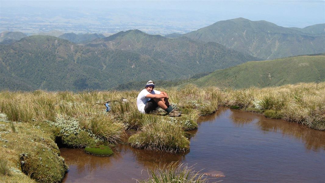
Knights-Shorts Loop Track
Advanced • 8 - 10 hr • 10.4 km away
Contact
DOC Customer Service Centre
Regional DOC service centre.
Notes from people who have been
No notes yet. If you have been, say what you found.
Something missing or out of date?
Closed, moved, wrong facts, or something we have missed? Travellers keep the Road Guide up to date. Tell us what you found at contribute@parkup.nz and we will check it and add it.
Ask us to take this down
A person reads every request. We do not remove a place until we have checked it.
Sources
- OpenStreetMap Campsites · ODbL (Open Database License)Contains information from OpenStreetMap, made available under the ODbL.
- DOC Campsites · CC BY 4.0Data sourced from the Department of Conservation (DOC), New Zealand.
- DOC Campsites (API) · CC BY 4.0Crown Copyright: Department of Conservation Te Papa Atawhai. Data sourced from the DOC Developer Portal (api.doc.govt.nz).