Grandview Mountain Track
WalkOtagoOpen
- Grade
- Advanced
- Walking time
- 6 hr
- Distance
- 18 km
- Route
- Return
- Biking time
- Under 4 hours
- Dogs
- No dogs
Getting there
We have not checked a road end or car park for this place yet, so we do not give driving directions to it. Check how to get there before you go. Some routes cross private land and need the landowner's permission.
How to get there, on doc.govt.nzTrack entrance is signposted at carpark at the end of Nook Rd, approx 6 km east from the Lake Hāwea Township.
Source: DOC Te Papa Atawhai.
Map
Map data © OpenStreetMap contributors. Topo map: LINZ, CC BY 4.0. 44.63271° S, 169.34727° E
About this place
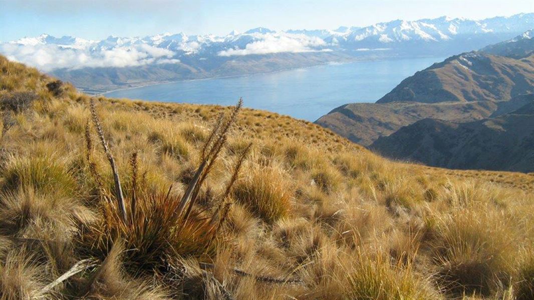
Trampers are well rewarded for their effort from the upper sections of the greater Grandview Range with inspiring views over Lakes Hāwea and Wānaka and mountains beyond.
The route
Nook Road car park – Grandview Mountain
Time: 4 to 6 hr
km The Grandview Mountain Track (previously known as Grandview Creek Track) gives access to the vast Grandview Range. Pockets of kānuka shrubland merge with the pastoral land on the lower section of the track before opening up to the tussockland that dominates the tops. Climbing steadily the track passes several small remnant beech forests on the opposite side of the creek, before reaching the station boundary at 1260 m then Grandview Mountain at 1398 m; an elevation gain of 958 m from the car park. Trampers are rewarded with stunning panoramic views over Lake Hāwea, the pastoral flats through to Lake Wānaka and local peaks. On a clear day, Mt Aspiring/Tititea’s distinct profile can be seen on the horizon. A marked route leading from the track drops into the Grandview Creek giving access to the conservation area that bears its name. Continued travel into the conservation area becomes restricted by steep bluffs.
Grandview Mountain Track – Breast Hill-Timaru Creek Track (Nook Road car park to Timaru Creek Road near Gladstone)
Time: 9 to 12 hr
km This tramp combines Grandview Mountain Track and Grandview Ridge Track with Breast Hill Track for a full day or overnight option.
Mountain biking
Mountain bikers can travel to Pakituhi Hut but cannot exit via the Breast Hill Track.
Horse riding
This is a shared us track, be aware of cyclists and other people usig this track.
Source: DOC Te Papa Atawhai.
Nearby stops
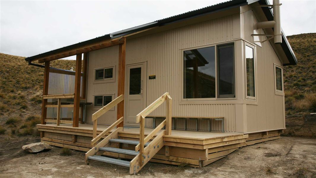
Pakituhi Hut
Standard • 8 bunks • Otago • 5.7 km
Pakituhi Hut is a standard eight-bunk hut located in the Wanaka and Makarora area of Otago. It provides basic accommodation for hikers in the region.
Mattresses • Toilets - non-flush • Water from tap - not treated, boil before use
Lake Hawea Camping
Otago • 7.8 km
Lake Hawea Camping is a campsite located in the Otago region. It provides a base for visitors exploring the Lake Hawea area.
The Camp
Otago • 8.5 km
The Camp is a campsite located in the Otago region. The provided records do not list specific facilities or additional details for this location.
Junction Hut
Otago • 11.8 km
Junction Hut is a hut located in the Otago region of New Zealand. It is a basic accommodation option for hikers and outdoor enthusiasts.
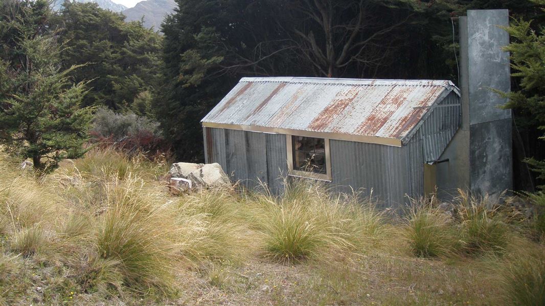
Stodys Hut
Basic/bivvies • 6 bunks • Otago • 12.1 km
Stodys Hut is a basic six-bunk hut located on the Breast Hill Track in Otago.
Heating • Mattresses • Toilets - non-flush
Walks nearby
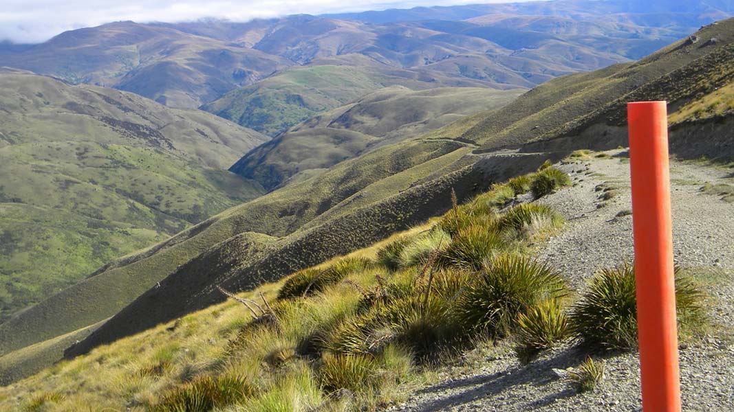
Grandview Ridge tracks
Advanced • Various from 3-11 hr • Various from 10.5 - 43.5 km • 4.18 km away
Awa Nohoaka Conservation Area access tracks
Advanced • Various from 3 - 8 hr one way • Various from 11 - 21 km • 8.4 km away
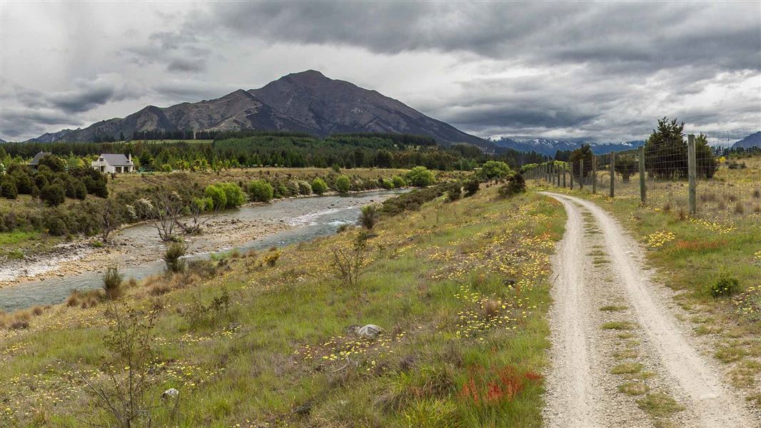
Hāwea River Track
Easy • 3–4 hr one way • 14 km • 10.13 km away
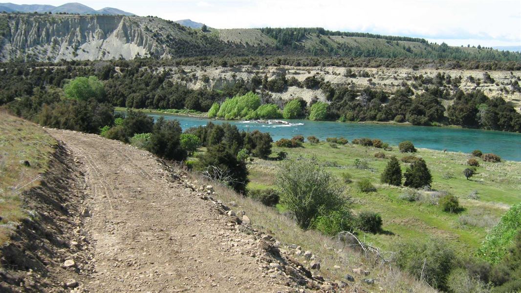
Newcastle Track
Easy • 2-3 hr • 12 km • 10.63 km away
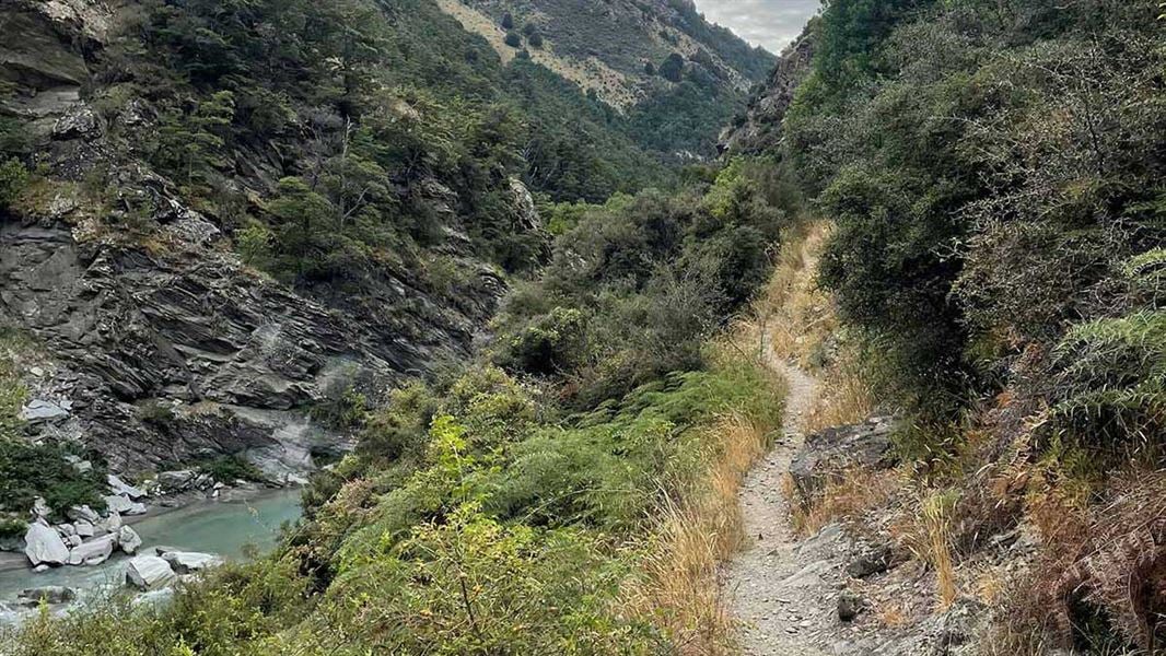
Tīmaru River Tracks
Advanced • 3 hr • 10.3 km • 11.07 km away
Notes from people who have been
No notes yet. If you have been, say what you found.
Something missing or out of date?
Closed, moved, wrong facts, or something we have missed? Travellers keep the Road Guide up to date. Tell us what you found at contribute@parkup.nz and we will check it and add it.
Ask us to take this down
A person reads every request. We do not remove a place until we have checked it.
Sources
- DOC Tracks & Trails · CC BY 4.0Data sourced from the Department of Conservation (DOC), New Zealand.
- DOC Tracks (API) · CC BY 4.0Crown Copyright: Department of Conservation Te Papa Atawhai. Data sourced from the DOC Developer Portal (api.doc.govt.nz).