Awa Nohoaka Conservation Area access tracks
WalkOtago
- Grade
- Advanced
- Walking time
- 8 hr
- Distance
- Various from 11 - 21 km
- Dogs
- No dogs
Getting there
We have not checked a road end or car park for this place yet, so we do not give driving directions to it. Check how to get there before you go. Some routes cross private land and need the landowner's permission.
How to get there, on doc.govt.nzThe main access points to Awa Nohoaka Conservation Area are:
Source: DOC Te Papa Atawhai.
Map
Map data © OpenStreetMap contributors. Topo map: LINZ, CC BY 4.0. 44.70317° S, 169.38555° E
Got a good photo of this place? Send it to us and we will show it with your name.
About this place
Short tussock and pasture grasslands contrast with grey shrublands, dry shrublands and kanuka shrublands make up this unique conservation area.
The route
Time: 7-8 hr one way
These tracks provide access to the 2 discrete blocks of land that make up Awa Nohoaka Conservation Area. Once in the Conservation Area, there are no formed tracks and no public access beyond the Conservation Area. All access tracks branch off the Grandview Ridge Track . km one way From the Sandy Point carpark, cross the road to find the marked track and stile. Both Deep Gully and Eastern Hills tracks begin here. Deep Gully Track is the left hand track. This track follows the toe of the hill then begins to climb up Deep Gully and on to the skyline ridge, where it meets the Grandview Ridge Track. Turn left to follow Grandview Ridge Track for 5 km before turning right onto South Awa Nohoaka Track. Follow this track for 1.5 km before reaching the Conservation Area boundary. km one way km one way From Grandview Ridge Track junction with Awa Nohoaka Track, there are two options: turn right and travel for 5 km; turn left and travel for 1 km.
Source: DOC Te Papa Atawhai.
Nearby stops

Lindis Pass Historic Hotel Campsite
Basic • Otago • 8.6 km
The Lindis Pass Historic Hotel Campsite is a basic campsite located in Central Otago. It sits within a historic reserve that features the remains of the Lindis…
Non-powered/tent sites • Shelter for cooking • Water from stream
Free campground
Otago • 9.3 km
This free campground is located in the Otago region near a river. The site provides access to toilet facilities.
Luggate Cricket Club Camping Ground
Otago • 10.6 km
Luggate Cricket Club Camping Ground is a campsite located in the Otago region. It is situated on the grounds of the local cricket club.
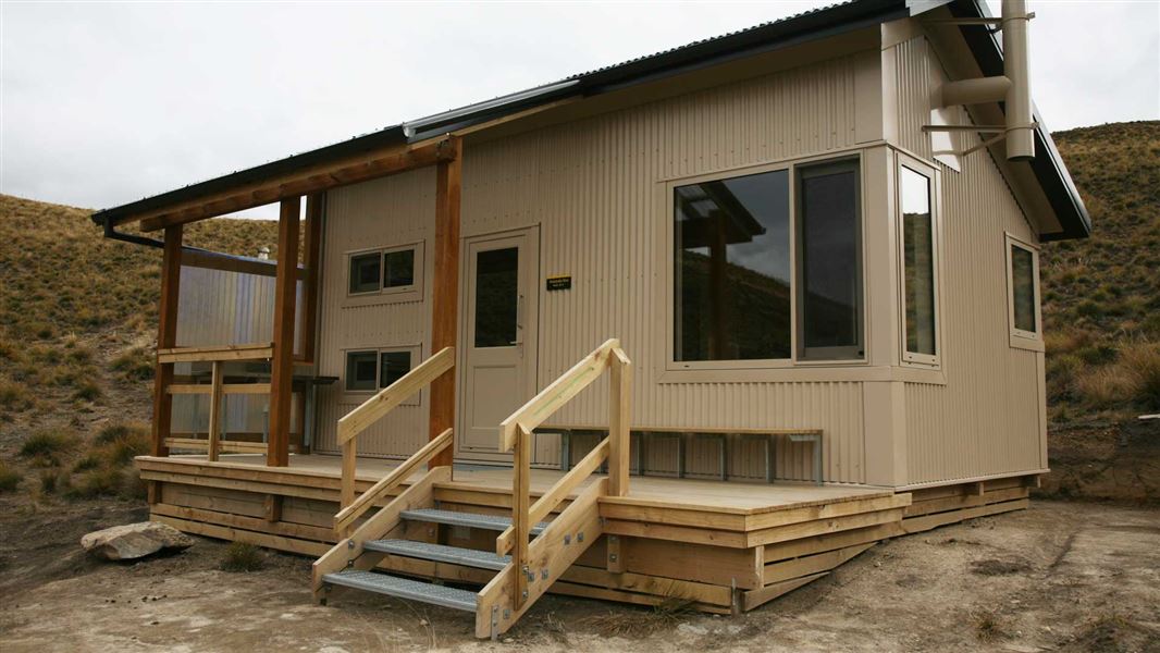
Pakituhi Hut
Standard • 8 bunks • Otago • 13.7 km
Pakituhi Hut is a standard eight-bunk hut located in the Wanaka and Makarora area of Otago. It provides basic accommodation for hikers in the region.
Mattresses • Toilets - non-flush • Water from tap - not treated, boil before use
Lake Hawea Camping
Otago • 14.7 km
Lake Hawea Camping is a campsite located in the Otago region. It provides a base for visitors exploring the Lake Hawea area.
Walks nearby
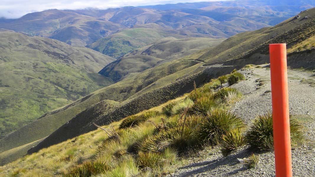
Grandview Ridge tracks
Advanced • Various from 3-11 hr • Various from 10.5 - 43.5 km • 4.43 km away
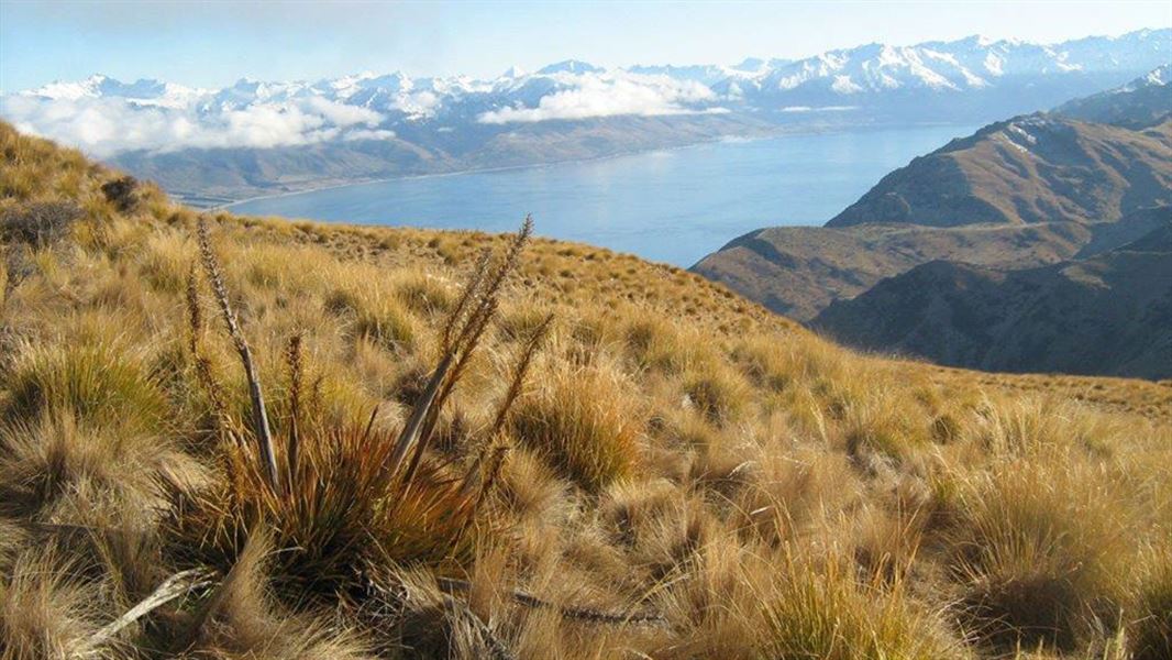
Grandview Mountain Track
Advanced • 4 - 6 hr return • 18 km • 8.4 km away
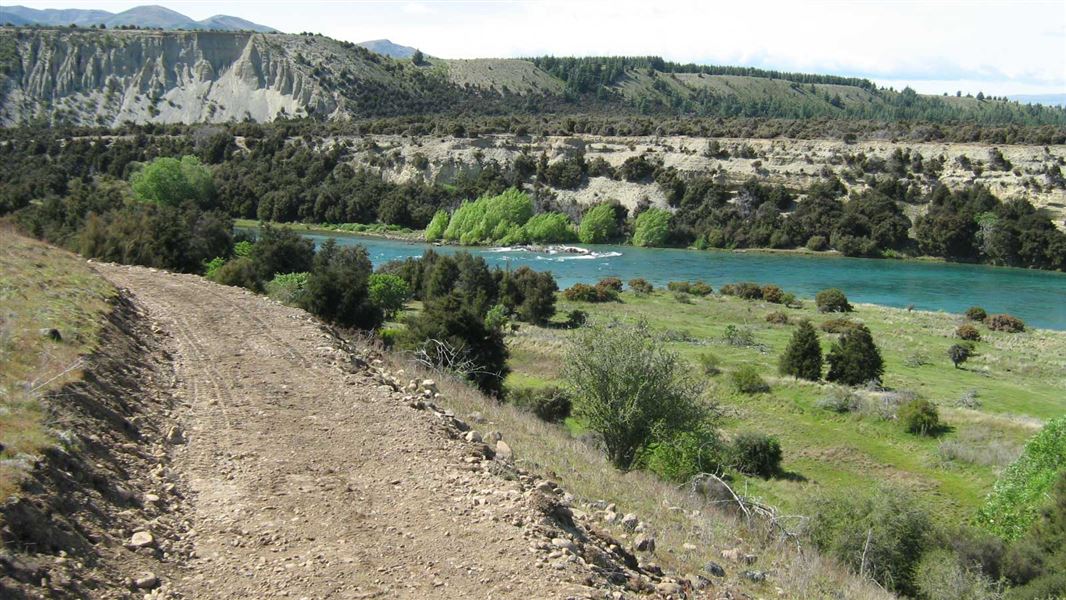
Newcastle Track
Easy • 2-3 hr • 12 km • 9.22 km away
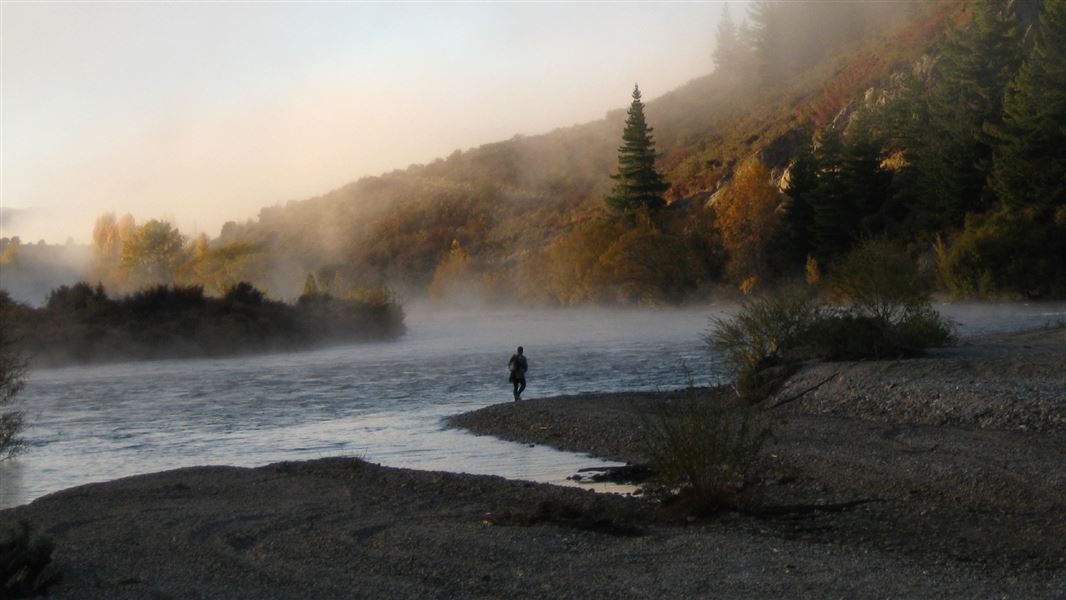
Upper Clutha River Track
Easy • 5 - 5 hr 30 min • 18.5 km • 9.33 km away
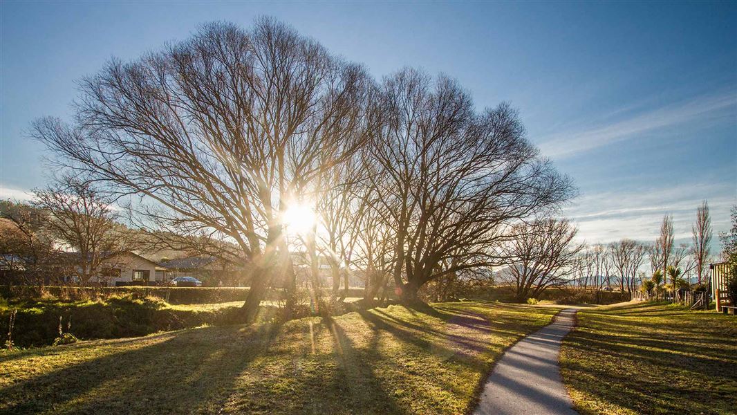
Luggate Creek Track
Easiest • 20 min one way • 1.5 km • 9.76 km away
Notes from people who have been
No notes yet. If you have been, say what you found.
Something missing or out of date?
Closed, moved, wrong facts, or something we have missed? Travellers keep the Road Guide up to date. Tell us what you found at contribute@parkup.nz and we will check it and add it.
Ask us to take this down
A person reads every request. We do not remove a place until we have checked it.
Sources
- DOC Tracks (API) · CC BY 4.0Crown Copyright: Department of Conservation Te Papa Atawhai. Data sourced from the DOC Developer Portal (api.doc.govt.nz).