Newcastle Track
WalkOtagoOpen
- Grade
- Easy
- Walking time
- 3 hr
- Distance
- 12 km
- Route
- One way
- Dogs
- Under control
Getting there
We have not checked a road end or car park for this place yet, so we do not give driving directions to it. Check how to get there before you go. Some routes cross private land and need the landowner's permission.
How to get there, on doc.govt.nzThe Newcastle Track is found on the true left of the Clutha River and can be accessed from either the Hāwea River swing bridge; Albert Town or the Kane Road car park.
Source: DOC Te Papa Atawhai.
Map
Map data © OpenStreetMap contributors. Topo map: LINZ, CC BY 4.0. 44.71061° S, 169.26931° E
About this place
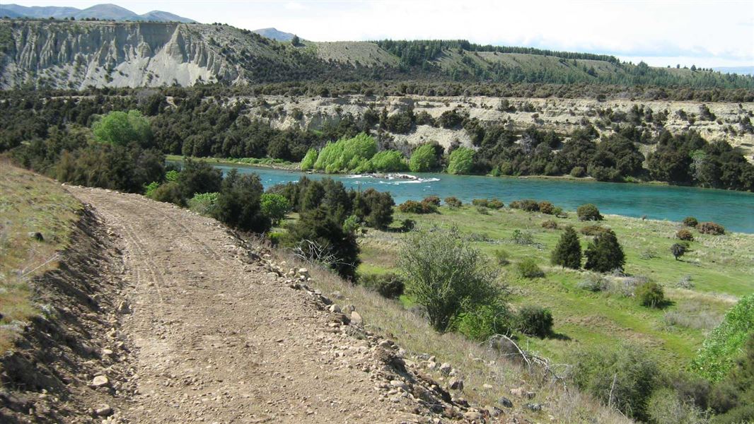
Suitable for biking and walking this track follows the true left of the Clutha River from Hāwea River swing bridge to Kane Road.
The route
This track enhances public access to the Clutha River where walkers, cyclists and runners are able to enjoy views of the river and panoramic shots of the surrounding peaks. A loop option is possible when combined with the Upper Clutha River Track , located on the true right of the river. This cycle track weaves its way around the true left of the Clutha River through typical Otago grasslands, Matagori and Kanuka landscapes. The undulating terrain provides variety for mountain bikers seeking more of a challenge than the trails on the true right of the river. It was designed by the Upper Clutha Tracks Trust and formed by DOC.
Source: DOC Te Papa Atawhai.
Nearby stops
Luggate Cricket Club Camping Ground
Otago • 4.1 km
Luggate Cricket Club Camping Ground is a campsite located in the Otago region. It is situated on the grounds of the local cricket club.
Albert town campground 2
Otago • 6.7 km
Albert Town Campground
Otago • 7.2 km
Albert Town Campground is a campsite located in the Otago region of New Zealand. The provided data does not include specific details regarding available…
Outlet Camp Wānaka
Otago • 10.5 km
Outlet Camp Wānaka is a campsite located in the Otago region. The provided records do not list specific facilities or details for this location.
Lake Hawea Camping
Otago • 11.2 km
Lake Hawea Camping is a campsite located in the Otago region. It provides a base for visitors exploring the Lake Hawea area.
Walks nearby
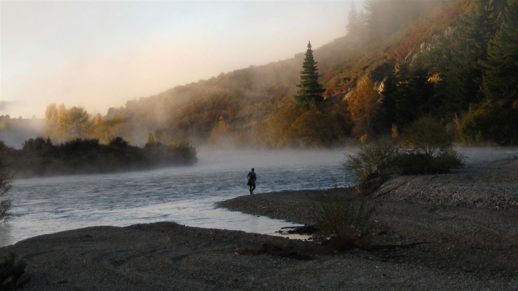
Upper Clutha River Track
Easy • 5 - 5 hr 30 min • 18.5 km • 1.8 km away
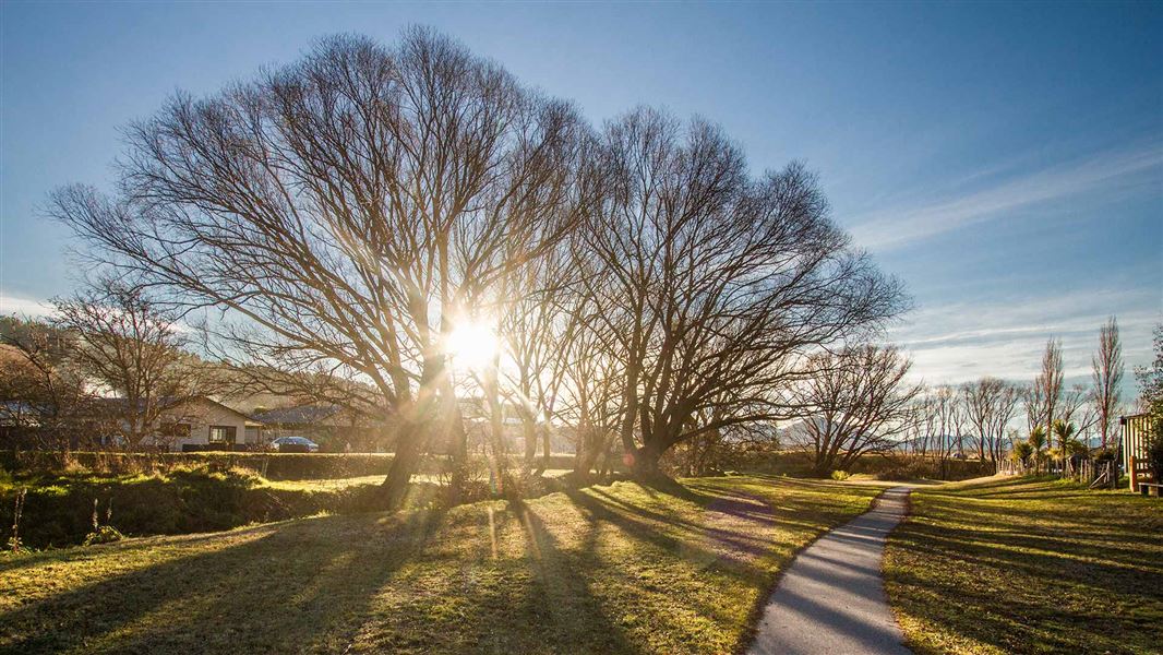
Luggate Creek Track
Easiest • 20 min one way • 1.5 km • 3.84 km away
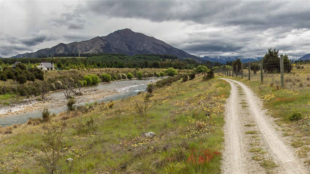
Hāwea River Track
Easy • 3–4 hr one way • 14 km • 5.36 km away
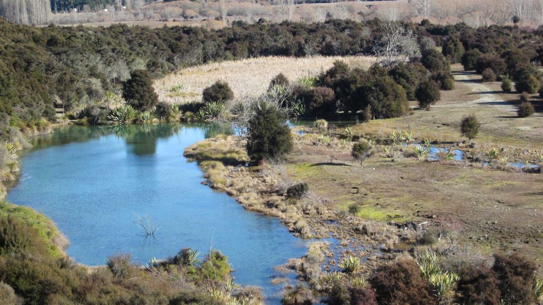
Butterfields Wetland Walk
Easy • 45 mins • 2.5km • 6.06 km away
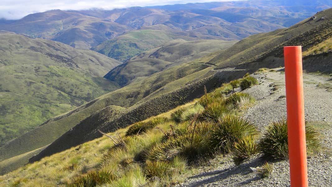
Grandview Ridge tracks
Advanced • Various from 3-11 hr • Various from 10.5 - 43.5 km • 8.12 km away
Notes from people who have been
No notes yet. If you have been, say what you found.
Something missing or out of date?
Closed, moved, wrong facts, or something we have missed? Travellers keep the Road Guide up to date. Tell us what you found at contribute@parkup.nz and we will check it and add it.
Ask us to take this down
A person reads every request. We do not remove a place until we have checked it.
Sources
- DOC Tracks & Trails · CC BY 4.0Data sourced from the Department of Conservation (DOC), New Zealand.
- DOC Tracks (API) · CC BY 4.0Crown Copyright: Department of Conservation Te Papa Atawhai. Data sourced from the DOC Developer Portal (api.doc.govt.nz).