Dump station, Banks Street
Dump stationWaikato
- Cost
- Free
- Access
- Anyone
Map
Map data © OpenStreetMap contributors. Topo map: LINZ, CC BY 4.0. 37.14784° S, 175.55008° E
Got a good photo of this place? Send it to us and we will show it with your name.
Nearby stops
Brown Street, Thames, including all areas within the road reserve
Waikato • 1.5 km
The designated camping spaces are in the Brown Street car park opposite Walter Street in Thames. Self-contained vehicles may stay for up to two consecutive…
Dickson Holiday Park
Waikato • 4.6 km
Dickson Holiday Park is a campsite located in the Waikato region. No further details are available in the provided records.

Kahikatea Campsite
Standard • Waikato • 7.4 km
Kahikatea Campsite is a self-contained vehicle campsite located across the road from the river in the Coromandel. It offers access to the Kauaeranga Valley…
Powered sites • Wheelchair accessible • Toilets
Cookson Cottage
Waikato • 7.5 km
Cookson Cottage is a hut located in the Waikato region. It serves as a base for exploring the Kauaeranga Valley.
Kauri Cottage
Waikato • 7.5 km
Kauri Cottage is a hut located in the Waikato region. It serves as a base for exploring the Kauaeranga Valley.
Walks nearby
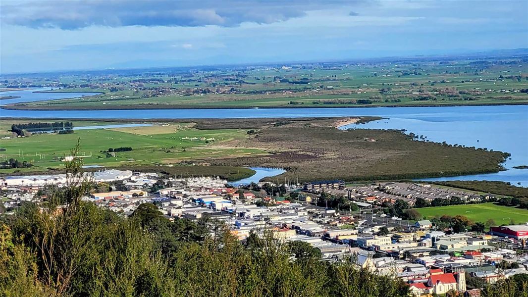
Moanataiari Link Track
Easy • 30 min • 1.5 km • 2.81 km away
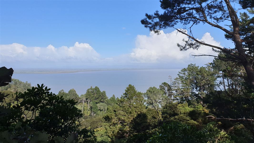
Rocky's to Waiotahi Track
Advanced • 1.5 hr to the junction • 3.3 km • 4 km away
Kahikatea Walk
Easiest • 20 min • 900 m return • 7.6 km away
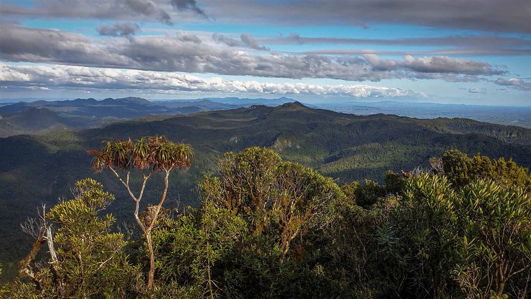
Kaitarakihi Summit Track
Advanced • 6 hr return • 7.2 km • 11.6 km away
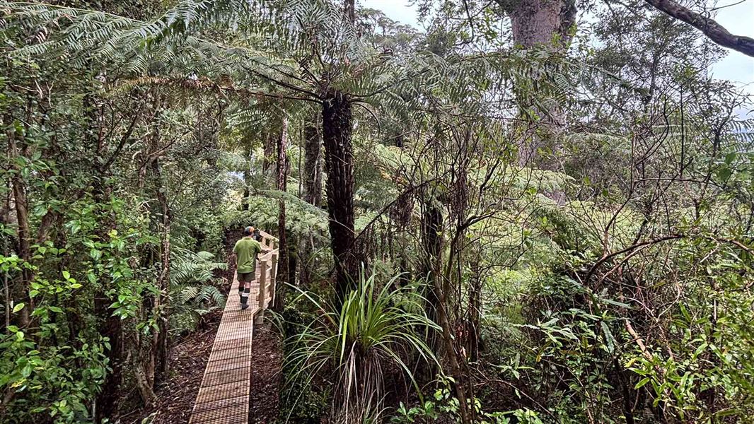
Booms Tramping Track
Advanced • 9 km to Crosbies Hut • 12.02 km away
Notes from people who have been
No notes yet. If you have been, say what you found.
Something missing or out of date?
Closed, moved, wrong facts, or something we have missed? Travellers keep the Road Guide up to date. Tell us what you found at contribute@parkup.nz and we will check it and add it.
Ask us to take this down
A person reads every request. We do not remove a place until we have checked it.
Sources
- OpenStreetMap Dump Stations · ODbLContains information from OpenStreetMap, made available under the ODbL.