Kahikatea Campsite
Standard campsiteLocated in Coromandel Forest Park, WaikatoOpen
- Sites
- 18
- Booking
- Can book
- Cost
- from $13
- Power
- Yes
- Toilet
- Yes
- Drinking water
- Boil first
- Dogs
- No dogs
Getting there
Follow the Kauaeranga Valley Road for 14 km from Thames. The Kahikatea campsite is on the left hand side of the road, opposite Shag Stream Campground and 100 m before the Visitor Centre.
Source: DOC Te Papa Atawhai.
Map
Map data © OpenStreetMap contributors. Topo map: LINZ, CC BY 4.0. 37.12434° S, 175.62833° E
About this place
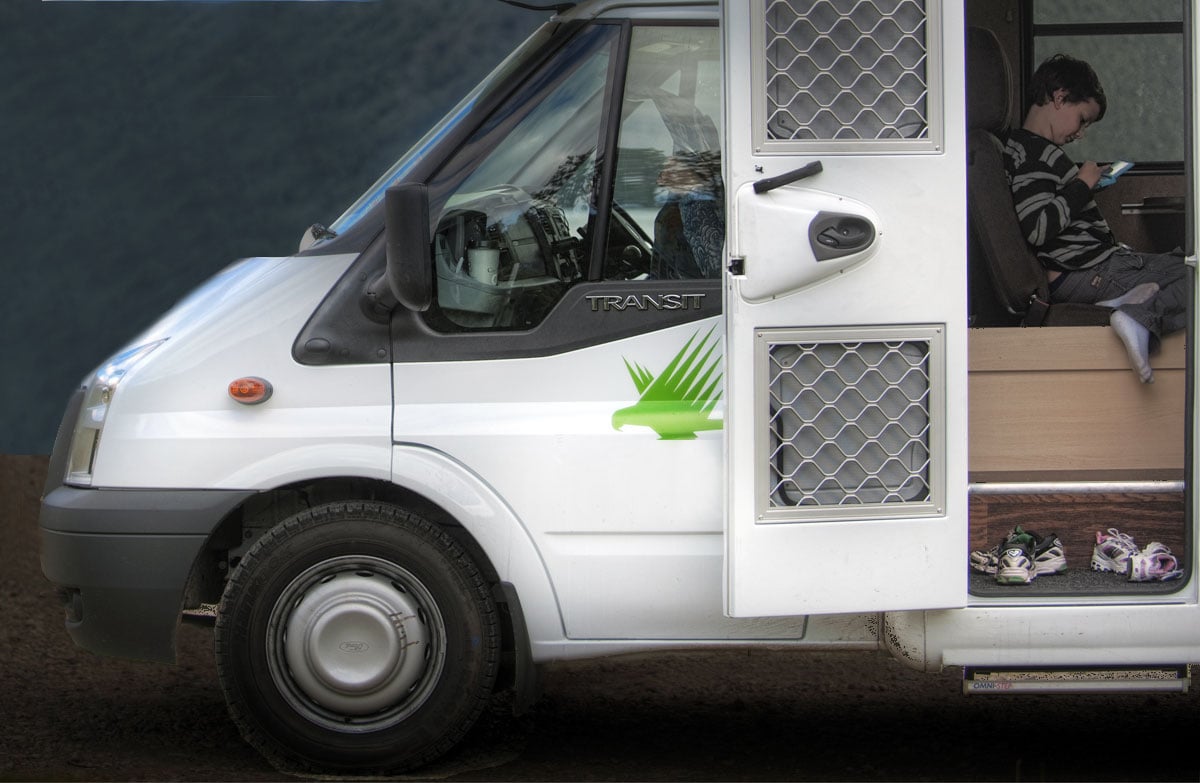
For self contained vehicles only. Camp across the road from the river and explore the Kauaeranga Valley on one of the many short walks.
Fees and bookings
The DOC Campsite Pass can be used at this campsite. Campsite Pass bookings must be booked online before occupying a site. If you do not book, bookings may be made by campground staff (if present) and will incur a $10 service charge. Sites may not be available if you do not book. There's a $3 fee per Campsite Pass user to book a powered site.
Bookings are open for stays up to 30 June 2027. If no availability shows online for your dates, the campsite is fully booked. No spaces are kept for campers arriving without a booking. Phone and in‑person bookings made at a visitor centre incur a $10 service fee. Same‑day bookings are available online until 8 pm if spaces remain. Book Kahikatea Campsite online. You can book for a maximum of 3 weeks. Your booking will be for a site, which will be allocated or selected on arrival. If you haven't booked and arrive when the visitor centre is shut If you arrive after hours and wish to stay in one of the nine campgrounds you can pay by cash in the envelope provided at the visitor centre. The envelopes and dropbox are to the right of the main doors. Kauaeranga Visitor Centre opening hours . You can also pay using the online booking system.
Source: DOC Te Papa Atawhai.
Nearby stops
Cookson Cottage
Waikato • 0.2 km
Cookson Cottage is a hut located in the Waikato region. It serves as a base for exploring the Kauaeranga Valley.
Kauri Cottage
Waikato • 0.2 km
Kauri Cottage is a hut located in the Waikato region. It serves as a base for exploring the Kauaeranga Valley.

Shag Stream Campsite
Standard • Waikato • 0.2 km
Shag Stream Campsite is a scenic riverside campsite in the Coromandel region. It serves as a base for exploring the valley, with a replica kauri dam located a…
Non-powered/tent sites • Water from stream • Toilets - non-flush

Hotoritori Campsite
Standard • Waikato • 2.7 km
Hotoritori Campsite is a riverside campsite located in the Kauaeranga Valley. It is situated 3 km north of the visitor centre.
Non-powered/tent sites • Water from stream • Toilets - non-flush

Whangaiterenga Campsite
Standard • Waikato • 4.7 km
Whangaiterenga Campsite is located in the Coromandel near the confluence of the Whangaiterenga Stream and the Kauaeranga River. A one hour return walk from the…
Non-powered/tent sites • Toilets - flush • Water from stream
Walks nearby
Kahikatea Walk
Easiest • 20 min • 900 m return • 0.28 km away
Kaitarakihi Summit Track
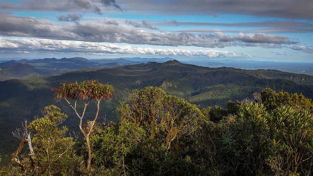
Advanced • 6 hr return • 7.2 km • 4.79 km away
Tarawaere Track
Advanced • 2-3 hr • 6.59 km away
Tarawaere to Billygoat Link Track
Advanced • 4 hr • 7.09 km away
Booms Tramping Track
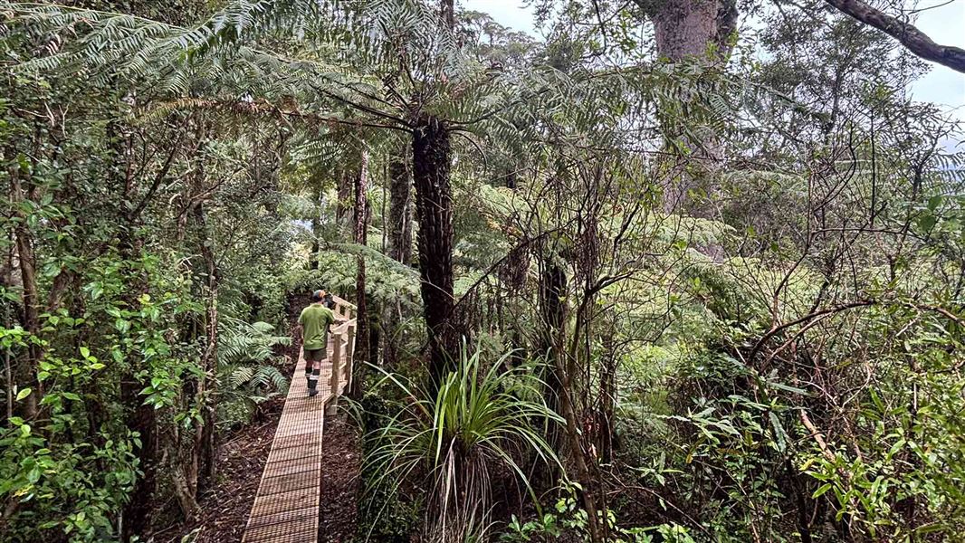
Advanced • 9 km to Crosbies Hut • 7.23 km away
Contact
Kauaeranga Visitor Centre
Regional DOC service centre.
Notes from people who have been
No notes yet. If you have been, say what you found.
Something missing or out of date?
Closed, moved, wrong facts, or something we have missed? Travellers keep the Road Guide up to date. Tell us what you found at contribute@parkup.nz and we will check it and add it.
Ask us to take this down
A person reads every request. We do not remove a place until we have checked it.
Sources
- DOC Campsites (API) · CC BY 4.0Crown Copyright: Department of Conservation Te Papa Atawhai. Data sourced from the DOC Developer Portal (api.doc.govt.nz).
- DOC Campsites · CC BY 4.0Data sourced from the Department of Conservation (DOC), New Zealand.
- OpenStreetMap Campsites · ODbL (Open Database License)Contains information from OpenStreetMap, made available under the ODbL.