90 High Street Oxford Dump Station
Dump stationCanterbury
- Access
- Anyone
Map
Map data © OpenStreetMap contributors. Topo map: LINZ, CC BY 4.0. 43.29135° S, 172.19694° E
Got a good photo of this place? Send it to us and we will show it with your name.
We only have the basics for this place so far: its name, its type and where it is.
Been here? Tell us what you found at contribute@parkup.nz and we will add it.
Nearby stops
West Oxford Reserve
Canterbury • 2.7 km
Adams Hut
Canterbury • 6.7 km
Adams Hut is a hut located in the Canterbury region of New Zealand. The provided data does not include specific details about its facilities or location.
Ryde Falls Camp
Canterbury • 11.9 km
Ryde Falls Camp is a campsite located in the Canterbury region of New Zealand. The provided data does not include specific details about facilities, access, or…
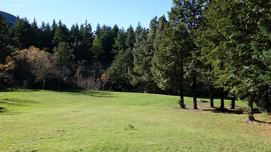
Wooded Gully Campsite
Standard • Canterbury • 15.6 km
Wooded Gully Campsite is a campsite in Canterbury situated beside a stream. It lies below the tracks leading to Mt Thomas.
Non-powered/tent sites • Water from tap - not treated, boil before use • Wheelchair accessible with assistance
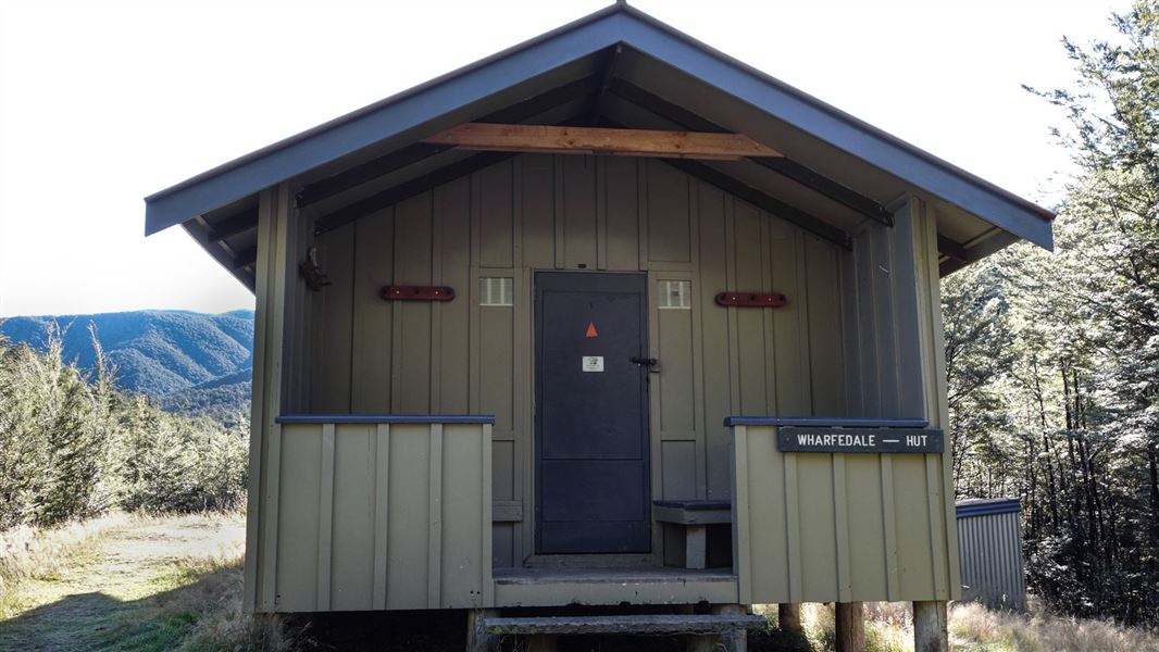
Wharfedale Hut
Standard • 8 bunks • Canterbury • 16.3 km
Wharfedale Hut is a standard 10-bunk hut located in the North Canterbury and Arthur's Pass area.
Heating • Mattresses • Toilets - non-flush
Walks nearby
Notes from people who have been
No notes yet. If you have been, say what you found.
Something missing or out of date?
Closed, moved, wrong facts, or something we have missed? Travellers keep the Road Guide up to date. Tell us what you found at contribute@parkup.nz and we will check it and add it.
Ask us to take this down
A person reads every request. We do not remove a place until we have checked it.
Sources
- Parkup Web Research · Facts only, checked against public authority or operator pages. Evidence quotes are for checking only and must not be displayed.