Ashley Gorge Waterfall Track
WalkCanterburyOpen
- Grade
- Easy
- Walking time
- 2 hr
- Distance
- 3.5 km
- Dogs
- On a lead
Getting there
We have not checked a road end or car park for this place yet, so we do not give driving directions to it. Check how to get there before you go. Some routes cross private land and need the landowner's permission.
How to get there, on doc.govt.nzThis track starts from the Ashley Gorge Holiday Park and Reserve (9 km from Oxford), which have toilet and picnic facilities.
Follow the road down to the public car park and picnic area at Williams Flat. From the car park, follow the "Walks" signs which bring you across the Ashley River bridge. The walk starts on the other side of the river.
Source: DOC Te Papa Atawhai.
Map
Map data © OpenStreetMap contributors. Topo map: LINZ, CC BY 4.0. 43.22473° S, 172.23780° E
Got a good photo of this place? Send it to us and we will show it with your name.
About this place
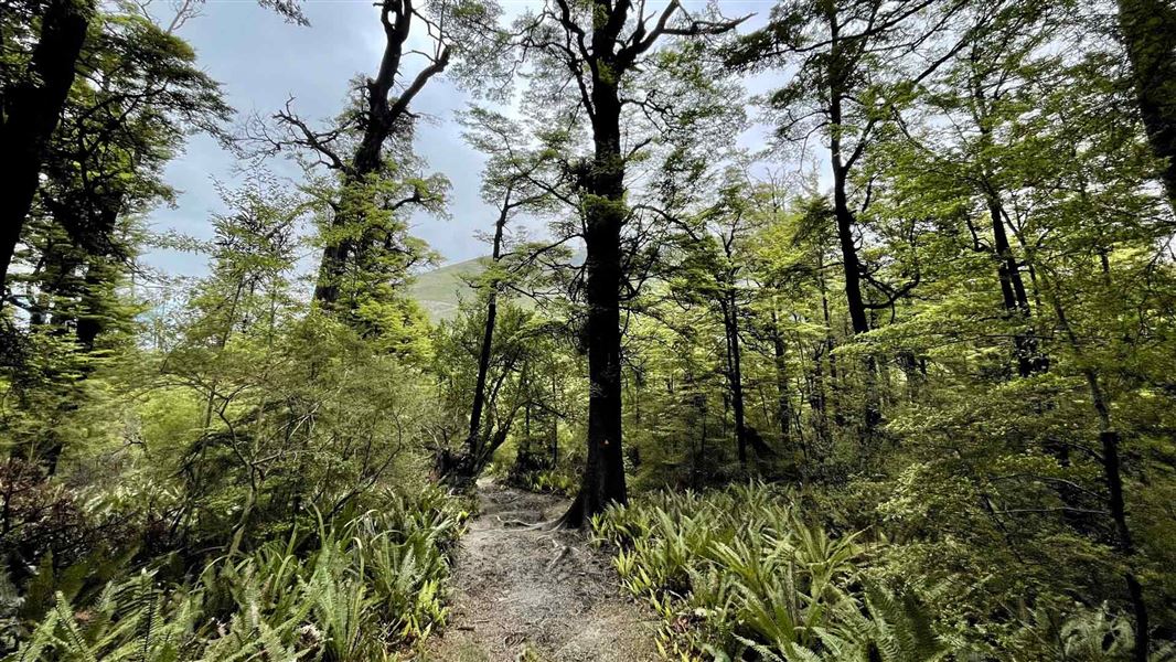
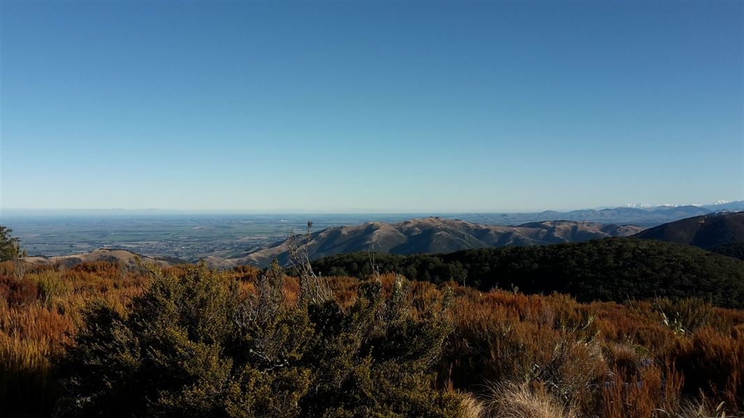
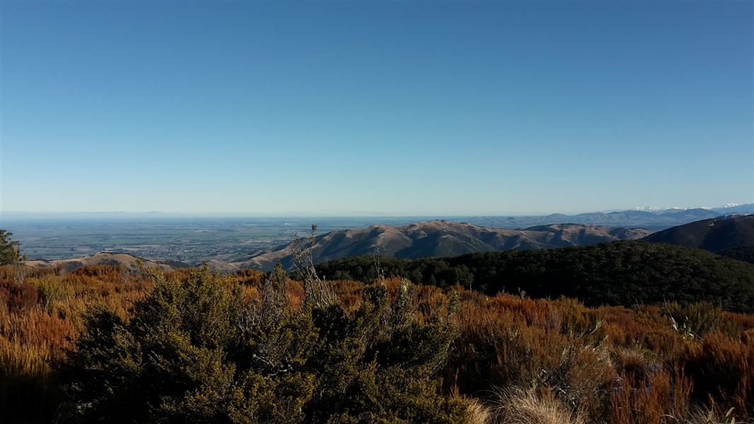
An out and back hike to an attractive 15 m moss covered waterfall, at its best after rain. It has a seat to rest and enjoy a spectacular view of the Canterbury Plains.
The route
While still kid-friendly, this hike climbs 140 m on a steep track with formed steps. This hike can be made into a loop by combining with the Totaranui Track and theAshley Gorge Loop Track . Combining all three makes a 2 1/2-hour loop. It is best walked in a clockwise direction as it can be slippery and muddy after rain. Beware of steep bank drop offs near some track sections. The Ashley Gorge Tracks have been built and are maintained by the voluntary community Ashley Gorge Tracks Group in partnership with DOC.
Source: DOC Te Papa Atawhai.
Nearby stops

Wooded Gully Campsite
Standard • Canterbury • 8.6 km
Wooded Gully Campsite is a campsite in Canterbury situated beside a stream. It lies below the tracks leading to Mt Thomas.
Non-powered/tent sites • Water from tap - not treated, boil before use • Wheelchair accessible with assistance

Bob's Camp Bivvy
Basic/bivvies • 2 bunks • Canterbury • 10.2 km
Bob's Camp Bivvy is a basic two-bunk hut located in the North Canterbury and Arthur's Pass area.
Mattresses • Toilets - non-flush • Water from stream
Adams Hut
Canterbury • 10.4 km
Adams Hut is a hut located in the Canterbury region of New Zealand. The provided data does not include specific details about its facilities or location.
West Oxford Reserve
Canterbury • 10.4 km

Pinchgut Hut
Standard • 7 bunks • Canterbury • 13.3 km
Pinchgut Hut is a standard seven-bunk hut located in the North Canterbury and Arthur's Pass area of Canterbury.
Heating • Mattresses • Toilets - non-flush
Walks nearby
Notes from people who have been
No notes yet. If you have been, say what you found.
Something missing or out of date?
Closed, moved, wrong facts, or something we have missed? Travellers keep the Road Guide up to date. Tell us what you found at contribute@parkup.nz and we will check it and add it.
Ask us to take this down
A person reads every request. We do not remove a place until we have checked it.
Sources
- DOC Tracks (API) · CC BY 4.0Crown Copyright: Department of Conservation Te Papa Atawhai. Data sourced from the DOC Developer Portal (api.doc.govt.nz).
- DOC Tracks & Trails · CC BY 4.0Data sourced from the Department of Conservation (DOC), New Zealand.