Whanganui Journey
WalkManawatū-Whanganui
- Distance
- 88 km or 145 km
- Dogs
- No dogs
Getting there
We have not checked a road end or car park for this place yet, so we do not give driving directions to it. Check how to get there before you go. Some routes cross private land and need the landowner's permission.
How to get there, on doc.govt.nzMap
Map data © OpenStreetMap contributors. Topo map: LINZ, CC BY 4.0. 39.10713° S, 175.02042° E
About this place
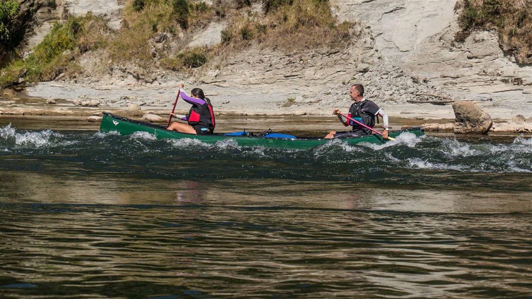
Paddle the scenic Whanganui River through a landscape of remote hills and bush clad valleys. This trip is suitable for people with good fitness and confidence with a canoe.
The route
Taumarunui to Ohinepane Campsite
Time: 3–5 hours
km Start at Ngāhuinga (Cherry Grove) Domain, off Cherry Grove Road in Taumarunui. Travelling the upper reaches of the Whanganui River, you’ll pass through a mixture of farmland and native bush, with plenty of rapids.
Ohinepane Campsite to Whakahoro
Time: 6–8 hours
km Ohinepane Campsite can be accessed from River Road SH43 as well as from the river. From here, you'll paddle deeper into a rich and rugged landscape. Farms become fewer, native forest dominates and the hills rise. On the way you will pass Poukaria Campsite (a great spot to stop for lunch) and Maharanui Campsite. Take a short trip up the Ōhura River to see the Ōhura Falls.
Whakahoro to John Coull Hut
Time: 7–9 hours
37.5 km Whakahoro is the last road access point before the end of the Whanganui Journey at Pipiriki. Many people start their trip here. You'll paddle through towering gorges, the sides dripping with moss and ferns. After heavy rain, there are numerous waterfalls. Long stretches of the river are calm and still, with mirror-like reflections, and in other sections there are rapids. Past Mangapapa Campsite, take a long loop around the Kirikiriroa Peninsula, pass the Tarepokiore (whirlpool) rapid and then the large overhang known as Tamatea's Cave. Do not enter the cave as it is wāhi tapu (a sacred place). Ōtaihanga Reach leads you to your overnight stop at John Coull Hut and Campsite. You may see long-tailed bats fluttering overhead at dusk.
John Coull Hut to Tīeke Kāinga
Time: 7–9 hours
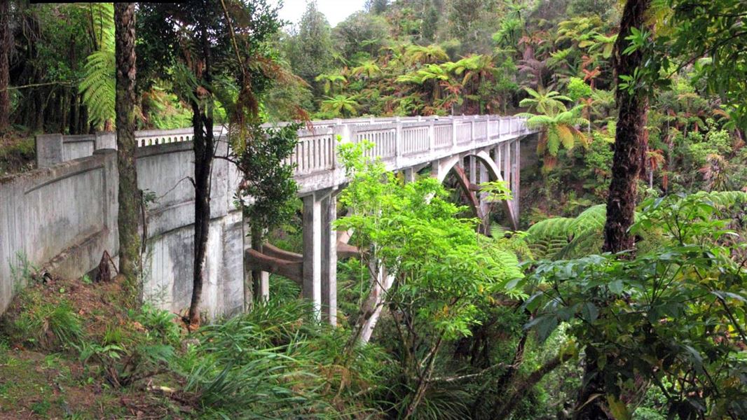
km On this section, you'll continue your journey through deep gorges and past stunning native forest. The Tāngarākau and Whangamōmona rivers join the Whanganui on this stretch. Perched high above the river, Mangawaiiti is an attractive spot to camp or stop for lunch. Continue your trip downstream past the Mangapurua Landing, where you can stop and walk to the iconic Bridge to Nowhere. The Bridge to Nowhere Walk (3km, 1 hour 30 mins return, shared use with cyclists) leads to an abandoned bridge, one of the few remainders of the Mangapurua Valley farm settlement. Be careful at Mangapurua Landing – it is very slippery when the rock is wet and can be crowded with canoes and boats. Afterwards, continue to Tīeke Kāinga, which is a functioning marae as well as a hut – read the Tīeke Kāinga information and tikanga (protocol) . This is a unique cultural experience. There is alternative hut accommodation at Puketotara Hut on the Matemateaonga Range, a 1 hour 30 min hike up a track opposite Tīeke Kāinga.
Tīeke Kāinga to Pipiriki
Time: 4–6 hours
21.5 km You'll pass the scenic gorge of the Manganui o te Ao River and several large rapids, including the Ngāporo and Autapu rapids. Through the day, you'll see the landscape changing. You leave the deep gorges behind and native forest gives way to farmland. The Whanganui Journey ends at Pipiriki village.
Source: DOC Te Papa Atawhai.
Know before you go
Te Awa Tupua – a living being
DOC encourages visitors on the awa to familiarise themselves with Te Awa Tupua - The Whanganui River – a living being that nourishes and sustains the land and the people both physically and spiritually from the Mountains to the Sea.
Before you go
Take these important steps before you start the Whanganui Journey: Understand how to use your canoe and practice . Make sure you know and have practiced how to pack it, how to navigate rapids and obstacles, and what to do if you fall out. This will help keep you safe on the river. Carry a distress beacon so you can signal for help if you need it. Once on the Whanganui Awa (river), there is no cell phone reception. More about distress beacons . You should also do the following: Check the weather before you go. Do not canoe if the river is flooding, rising, or predicted to flood. Very low flow will also make the trip more difficult, as paddling is harder and more obstacles will be exposed. Weather forecast for Whanganui National Park . Pack plenty of warm, quick-drying clothes and extra food. It can be very cold and you need to be ready to stay an extra night if the river rises. What to take on the Whanganui Journey . Wear bright clothing, so you’re more visible to boats Pack what you need to boil or treat water –the water at huts and campsites is not treated. Pack antihistamines if you’re allergic to wasps – they’re especially common from January to May.
When you're on the river
Stay safe by always wearing a life jacket . If you fall out, it could save your life. Do not drink alcohol, for your safety and out of respect for the river . Stay on the true right whenever possible. The true right is the right hand side when facing downstream. Be aware of jet boats and know what to do . This is essential for a safe trip. When a jet boat approaches: Move to the right hand side of the river, unless you’re already close to the other side. If you’re close to the left, stick to the left – don’t paddle across the path of the approaching boat. Stop or back-paddle, so the jet boat can get away from you as quickly as possible. Turn at right angle to the wake – this reduces how bumpy it will feel. Crafts travelling up river must give way to crafts travelling down the river. However, jet boats in rapids cannot slow down or stop. Keep an eye on the weather and the river. If the river starts rising or is in flood, stay at your campground or hut until the river levels drop. You won’t be charged for staying an extra night due to high river levels. Rivers can rise overnight even if it’s not raining where you are, so tie your canoe up securely. Leave enough time to reach your next hut or campsite in daylight. It is hard to find them in the dark. Allow extra time if it’s windy as canoeing into the wind can be slow and tiring. Watch carefully for campsites and huts. If you go past them you may not be able to paddle back. More ways to stay safe in the outdoors .
Respect nature and culture
Many sites are of high cultural significance – please respect them. Avoid alcohol use or smoking while on the Awa or at Tīeke Marae/Kāinga . Protect nature while on the Whanganui Journey by: camping only at designated camp sites taking all your rubbish away with you following all fire restrictions and not lighting any open fires. using the toilets provided keeping soap and detergents out of the water leaving dogs or any other animals at home not hunting within the river trench leaving native plants and animals alone – enjoy them from afar.
Source: DOC Te Papa Atawhai.
On this track
In walking order.

Ohinepane Campsite
Great Walk • Manawatū-Whanganui
- Water

Whakahoro Campsite
Great Walk • Manawatū-Whanganui
- Water

John Coull Hut
Great Walk • 24 bunks • Manawatū-Whanganui
- Toilet
- Heating
- Water

John Coull Campsite
Great Walk • Manawatū-Whanganui
- Toilet
- Water

Mangawaiiti Campsite
Great Walk • Manawatū-Whanganui
- Toilet
- Water

Ohauora Campsite
Great Walk • Manawatū-Whanganui
- Toilet
- Water

Tīeke Marae/Kāinga
Great Walk • 20 bunks • Manawatū-Whanganui
- Toilet
- Heating
- Water

Maharanui Campsite
Great Walk • Manawatū-Whanganui
- Toilet
- Water
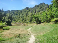
Mangapapa Campsite
Great Walk • Manawatū-Whanganui
- Toilet
- Water

Mangapurua Campsite
Great Walk • Manawatū-Whanganui
- Toilet
- Water

Ngaporo Campsite
Great Walk • Manawatū-Whanganui
- Toilet
- Water
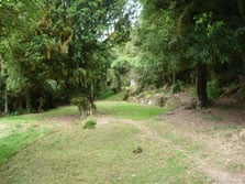
Poukaria Campsite
Great Walk • Manawatū-Whanganui
- Toilet
- Water
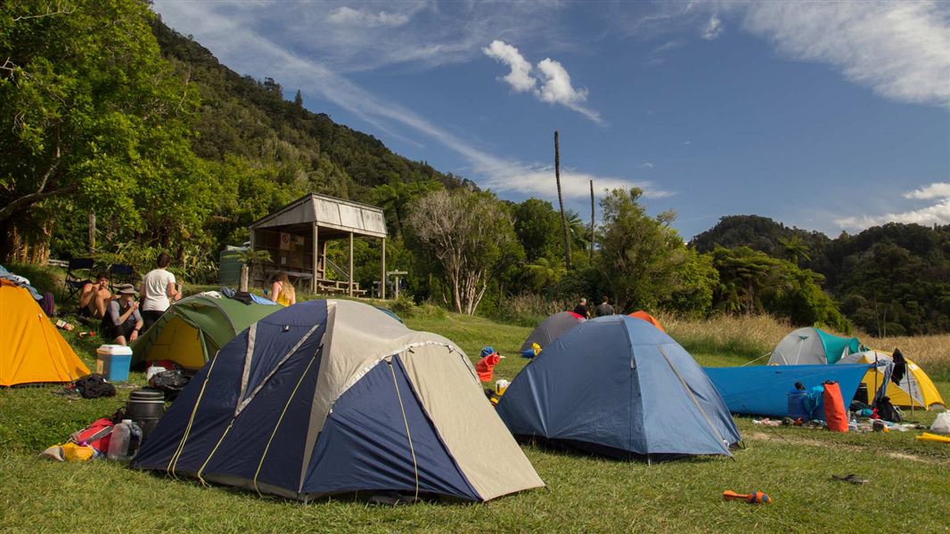
Tīeke Marae/Kāinga Campsite
Great Walk • Manawatū-Whanganui
- Toilet
- Water
Nearby stops
Ohuraiti Hut
Manawatū-Whanganui • 5.9 km
Ohuraiti Hut is a basic shelter located in the Manawatū-Whanganui region of New Zealand. The provided data does not list specific facilities or amenities for…
Mosley's Campsite
Backcountry • Manawatū-Whanganui • 9.2 km
Mosley's Campsite is a backcountry campsite located on the Kaiwhakauka Track in Whanganui National Park.
Toilets - non-flush • Toilets

Johnsons Campsite
Backcountry • Manawatū-Whanganui • 10.2 km
Johnsons Campsite is a backcountry campsite on the Mangapurua Track within Whanganui National Park.
Toilets - non-flush • Toilets
Bettjemann Campsite
Backcountry • Manawatū-Whanganui • 10.8 km
Bettjemann Campsite is a backcountry campsite located on the Mangapurura Track in the Manawatu/Whanganui region.
Toilets - non-flush • Toilets
Mangapurua Trig Campsite
Backcountry • Manawatū-Whanganui • 12.7 km
Mangapurua Trig Campsite is a backcountry campsite located on the Mangapurua Track in the Manawatū-Whanganui region.
Toilets - non-flush • Toilets
Notes from people who have been
No notes yet. If you have been, say what you found.
Something missing or out of date?
Closed, moved, wrong facts, or something we have missed? Travellers keep the Road Guide up to date. Tell us what you found at contribute@parkup.nz and we will check it and add it.
Ask us to take this down
A person reads every request. We do not remove a place until we have checked it.
Sources
- DOC Tracks (API) · CC BY 4.0Crown Copyright: Department of Conservation Te Papa Atawhai. Data sourced from the DOC Developer Portal (api.doc.govt.nz).