Whangamumu Track
WalkNorthland
- Grade
- Easy
- Walking time
- 1 hr
- Distance
- 4.2 km
- Dogs
- No dogs
Access: read before you go
Whangamumu Track links up with two other tracks – Kauri Grove and Te Toroa tracks. These two tracks are closed to help prevent the spread of kauri disease. These tracks are on private land owned by Rawhiti 3B2 Ahu Whenua Trust.
This track is open 1 December until the Easter holiday. Track crosses private land for the first 15 minutes of the walk so remain near the DOC track markers. Mountain biking is not permitted on this track. No fires due to risks to wildlife. No camping. No hunting. No unauthorised horses or vehicles of any type. Safety and security Check the tide timetable before leaving to ensure you can walk across the beach to the historic Whangamumu Whaling Station. Before leaving for your walk, make sure your vehicle is locked and any valuables out of sight.
Source: DOC Te Papa Atawhai.
Getting there
We have not checked a road end or car park for this place yet, so we do not give driving directions to it. Check how to get there before you go. Some routes cross private land and need the landowner's permission.
How to get there, on doc.govt.nzAccess to the Whangamumu Track is from Rawhiti Road, 1.1 km from the Manawaora Road and Rawhiti Road intersection.
From Russell, take the Russell-Whakapara Road for 13.8 km and turning off at Kempthorne Road. Follow the road through Parekura Bay, continuing on to Manawaora Road. At the top of the road, turn left onto Rawhiti Road.
From Whangarei travel north turning off SH1 at Whakapara. Follow the Russell Road until you get to Rawhiti Road.
Whangamumu Track links up with two other tracks – Kauri Grove and Te Toroa tracks. These two tracks are closed to help prevent the spread of kauri disease. These tracks are on private land owned by Rawhiti 3B2 Ahu Whenua Trust.
The track from Oke Bay to Cape Brett is still open.
Closed tracks
Whangamumu Track links up with two other tracks – Kauri Grove and Te Toroa tracks. These two tracks are closed to help prevent the spread of kauri disease. These tracks are on private land owned by Rawhiti 3B2 Ahu Whenua Trust. The track from Oke Bay to Cape Brett is still open.
Source: DOC Te Papa Atawhai.
Map
Map data © OpenStreetMap contributors. Topo map: LINZ, CC BY 4.0. 35.25362° S, 174.28259° E
About this place
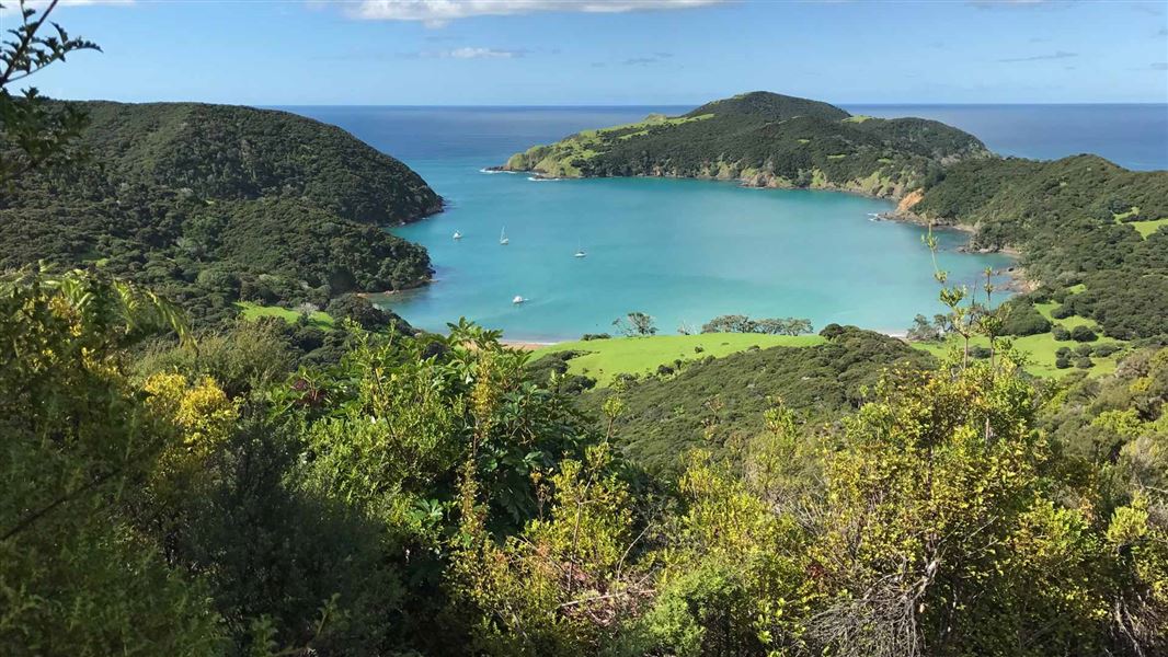
Go for an easy forest and beach walk to Whangamumu Harbour.
The route
Come for a walk along a path that whalers used to take in the early 20th century to one of New Zealand’s last remaining shore-based whaling stations. This track is a comfortable walk starting at the Tangatapu wetlands through regenerating coastal forest up and over a ridge to the sandy beach at the head of the Whangamumu Harbour. Interpretation signs explain the historic features of the area. The track is not suitable for mountain biking. Once at Whangamumu Harbour turn left along the beach and take the short 10-minute track to the historic Whangamumu Whaling Station. This track can be walked up 1-2 hours either side of high tide; at other tide times this short section of beach track is closed to walkers. Camping is not permitted. Te Toroa Track links Whangamumu Track to Cape Brett Track
Source: DOC Te Papa Atawhai.
Know before you go
Protect our kauri
Stay on the track at all times and clean your footwear using the hygiene station at the track entrance. This will reduce the chance of spreading kauri disease. Learn about kauri disease
Access advice
This track is open 1 December until the Easter holiday. Track crosses private land for the first 15 minutes of the walk so remain near the DOC track markers. Mountain biking is not permitted on this track. No fires due to risks to wildlife. No camping. No hunting. No unauthorised horses or vehicles of any type. Safety and security Check the tide timetable before leaving to ensure you can walk across the beach to the historic Whangamumu Whaling Station. Before leaving for your walk, make sure your vehicle is locked and any valuables out of sight.
Source: DOC Te Papa Atawhai.
Nearby stops
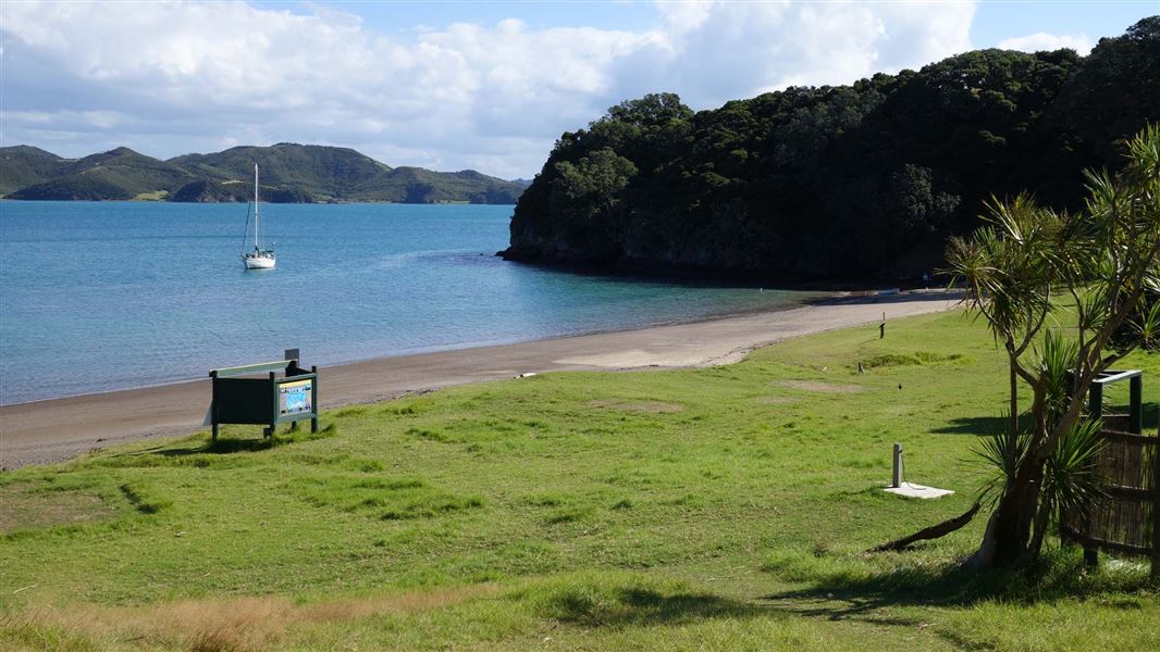
Cable Bay Campsite
Standard • Northland • 5.4 km
Cable Bay Campsite is a sheltered coastal campsite in Northland. It offers a beach setting suitable for swimming, kayaking, fishing, and exploring nearby…
Non-powered/tent sites • Shower - cold • Water from tap - not treated, boil before use
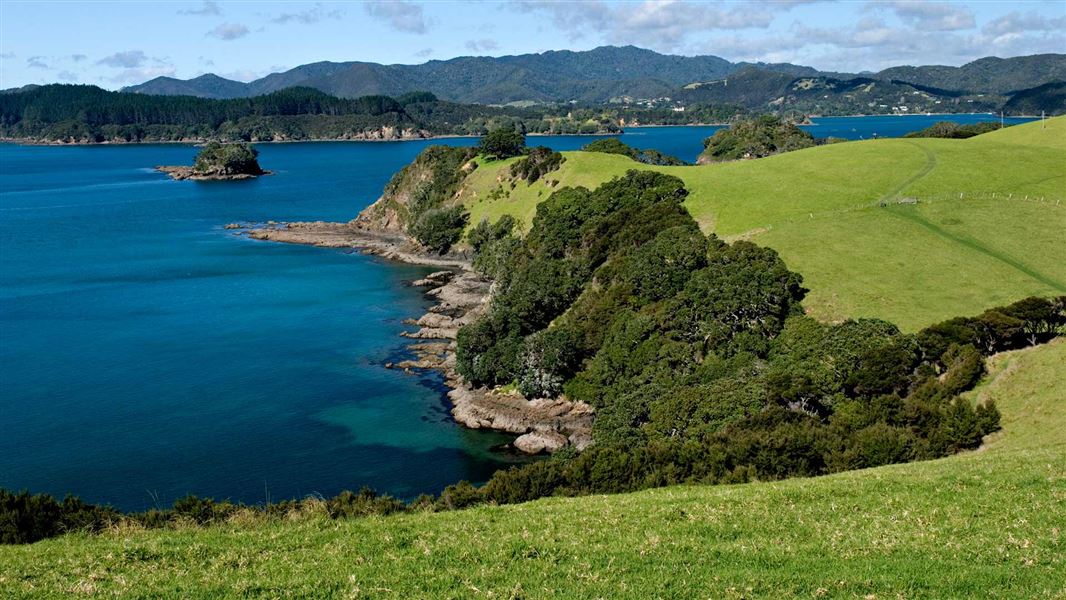
Sunset Bay Campsite
Standard • Northland • 5.6 km
Sunset Bay Campsite is a private and secluded campsite in Northland with coastal surrounds. It offers access to a beach for swimming, kayaking, and fishing, as…
Non-powered/tent sites • Water from tap - not treated, boil before use • Toilets - non-flush
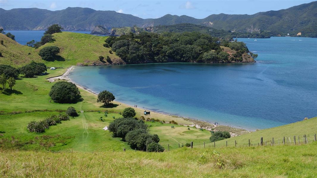
Urupukapuka Bay Campsite
Standard • Northland • 5.7 km
Urupukapuka Bay Campsite is a coastal campsite in Northland. It offers access to the beach for swimming, kayaking, and fishing, as well as nearby walking…
Non-powered/tent sites • Shower - cold • Water from tap - not treated, boil before use
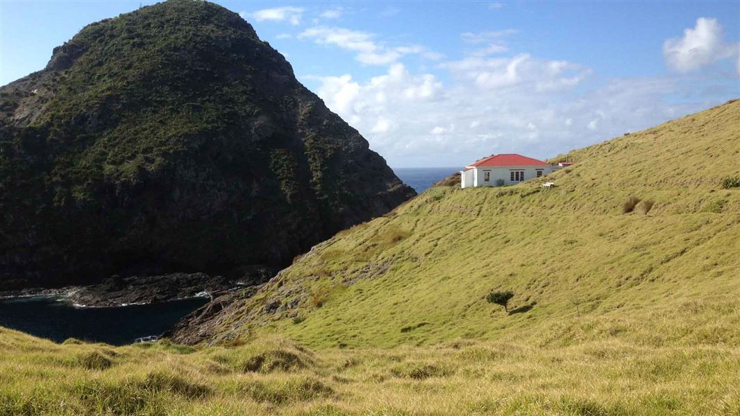
Cape Brett Hut
Serviced • 23 bunks • Northland • 10 km
Cape Brett Hut is a serviced 23-bunk hut located in the Bay of Islands area of Northland. The accommodation is a converted lighthouse keeper's house situated…
Cooking • Mattresses • Toilets - non-flush
Tamateatai Point
Northland • 11.1 km
Tamateatai Point Scenic Reserve is on Whangaruru Wharf Road in Whangaruru. Freedom camping is limited to self-contained vehicles.
Walks nearby
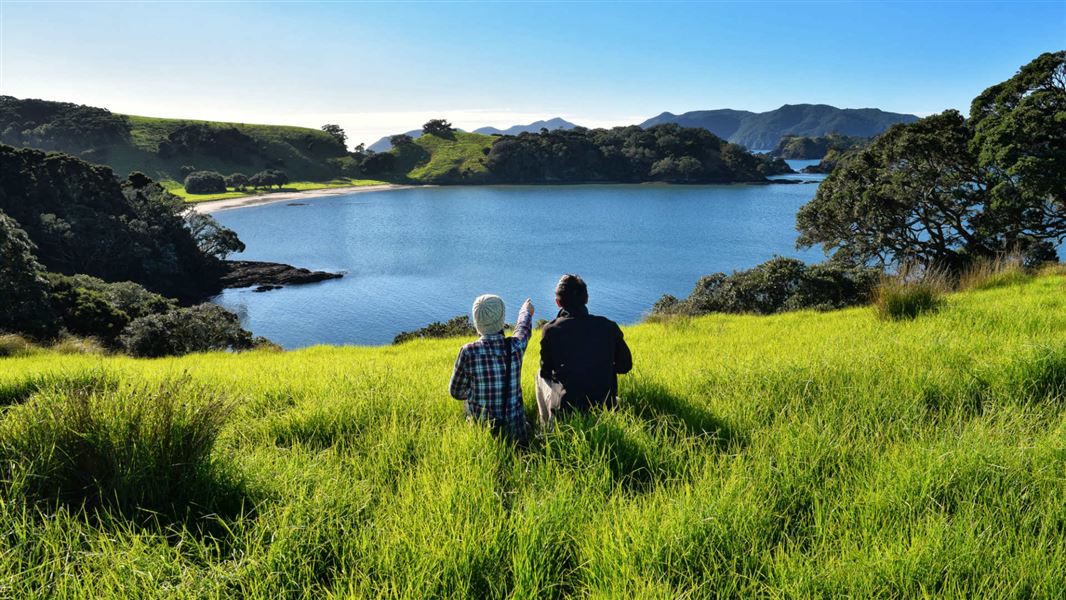
Urupukapuka Island Walk
Easy • 5 hr • 7.3 km • 6.13 km away
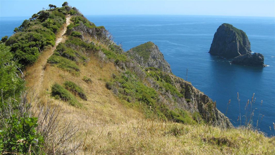
Cape Brett Track
Advanced • 8 hr • 16.3 km • 8.47 km away
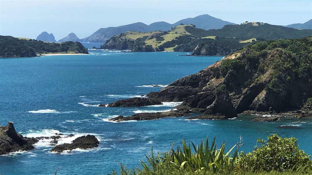
Moturua Island Track
Easy • 2.5 hr • 4.6 km • 9.27 km away
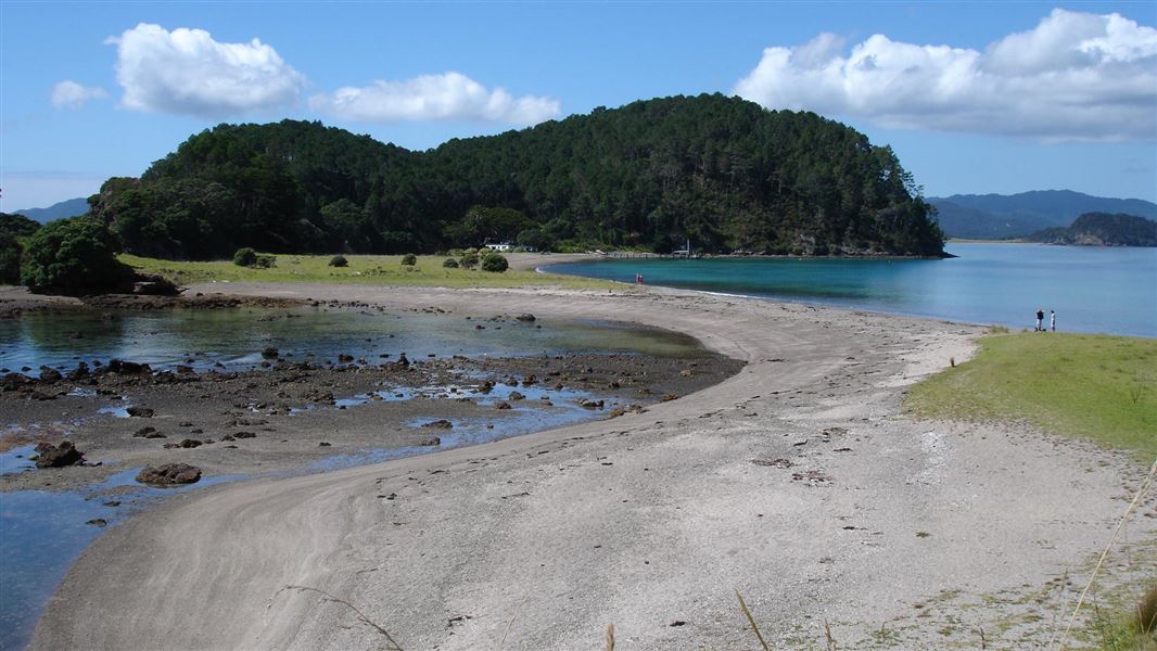
Motuarohia (Roberton) Island Track
Easy • 15 min • 350 m • 10.87 km away
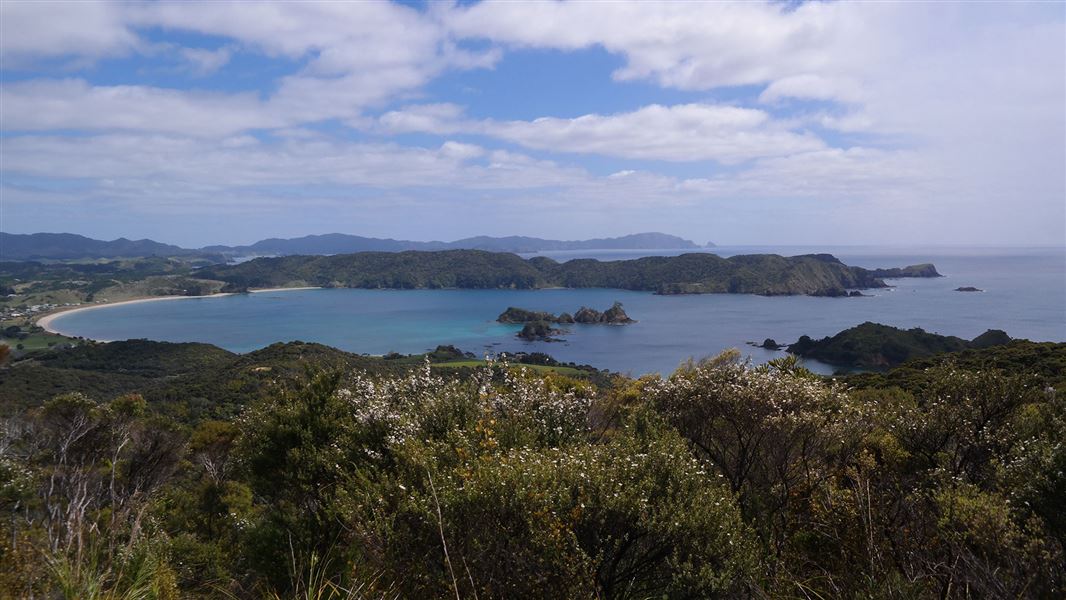
Whangaruru North Head walking tracks
Easy • 1 hr - 2 hr 30 min • 6 km • 14.47 km away
Notes from people who have been
No notes yet. If you have been, say what you found.
Something missing or out of date?
Closed, moved, wrong facts, or something we have missed? Travellers keep the Road Guide up to date. Tell us what you found at contribute@parkup.nz and we will check it and add it.
Ask us to take this down
A person reads every request. We do not remove a place until we have checked it.
Sources
- DOC Tracks (API) · CC BY 4.0Crown Copyright: Department of Conservation Te Papa Atawhai. Data sourced from the DOC Developer Portal (api.doc.govt.nz).