Cape Brett Hut
Serviced hutCape Brett and Whangamumu area, NorthlandOpen
- Sleeps
- 23 bunks
- Booking
- Can book
- Cost
- from $28
- Heating
- None
- Drinking water
- Boil first
- Toilet
- Non-flush
Getting there
We have not checked a road end or car park for this place yet, so we do not give driving directions to it. Check how to get there before you go. Some routes cross private land and need the landowner's permission.
How to get there, on doc.govt.nzCar storage is available for a small fee at private land adjacent to Whangamumu Walk track entrance and Kaingahoa Marae, Rawhiti.
Water taxis are available, information available at local tourist information centres in Russell and Paihia.
Cape Brett is 30 km north east of Russell. You can get to Cape Brett and Whangamumu via Rawhiti Road.
From Russell, take the Russell-Whakapara Road for 13.8 km and turning off at Kempthorne Road. Follow the road through Parekura Bay, continuing on to Manawaora Road. At the top of the road, turn left onto Rawhiti Road.
From Whangarei travel north turning off SH1 at Whakapara. Follow the Russell Road until you get to Rawhiti Road.
To access Cape Brett Reserve by sea, land at either Deep Water Cove or at Cape Brett. A water taxi is available from Russell, Paihia and Rawhiti.
You may need to go through Te Pēwhairangi (Bay of Islands) Marine Mammal Sanctuary. Before you go check the restrictions for this marine mammal sanctuary.
- Topo map
- Topo50 sheet AV30
- Grid reference
- E1721030, N6106972
Source: DOC Te Papa Atawhai.
Map and tracks
Track lines: DOC Te Papa Atawhai. Map data © OpenStreetMap contributors. Topo map: LINZ, CC BY 4.0. 35.17265° S, 174.33097° E
About this place
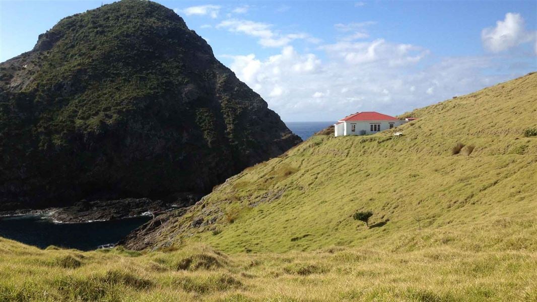
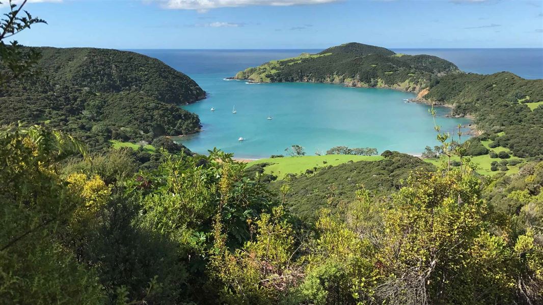
Situated in stunning, coastal surrounds, the Lighthouse Keeper's house at Cape Brett has been converted into a hut. This is a serviced 23-bunk hut in the Bay of Islands area. The hut must be booked online in advance.
On the way here
Cape Brett Track · 8 hr
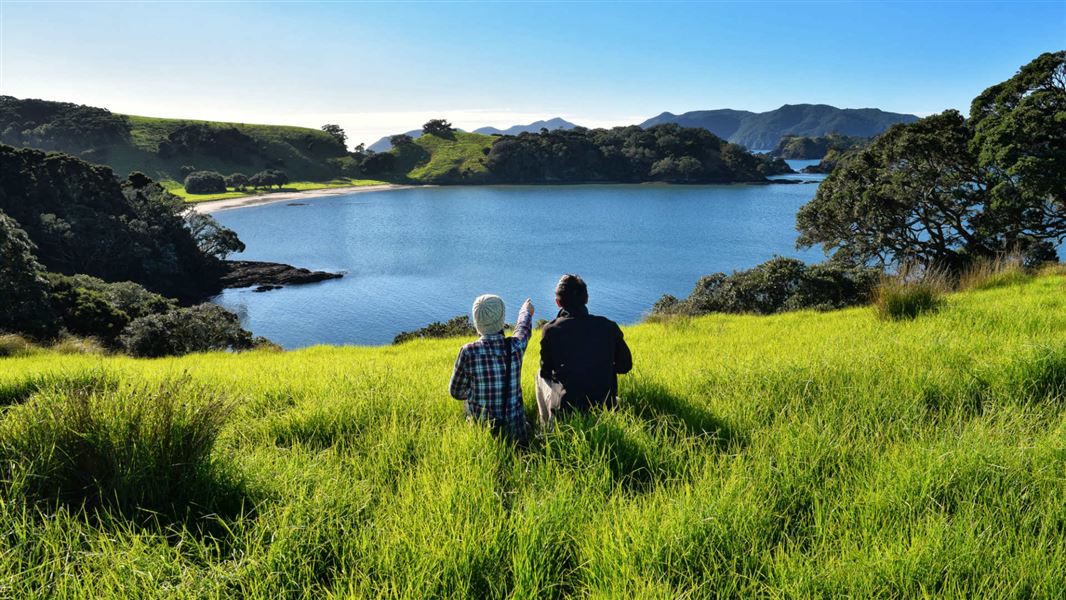
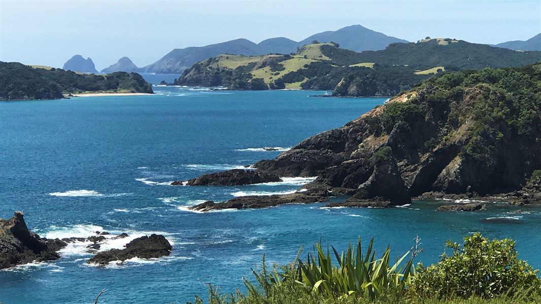
The Cape Brett Track has been a cooperative venture between the Te Rawhiti 3B2 Ahu Whenua Trust and the Department of Conservation since 2001. The first 10 km of the track passes over private land owned by the Te Rawhiti 3B2 Ahu Whenua Trust. This section of the track is run and maintained by the Trust’s agent, Cape Brett Walkways Ltd. The track runs along the ridge through the Trust’s private land before reaching the 6 km long public conservation land section from Deep Water Cove to the Cape Brett Hutt. You can take a side-track (1 hr return) down to Deep Water Cove, where you can enjoy a refreshing swim and snorkel. From the forested ridges, you can take in spectacular coastal scenery. Towards the Cape, walking alongside the dramatic cliff-face, you can see abundant fish and bird life below - often dolphins and seals will come close to shore. From Deep Water Cove onwards, the track gets more challenging and becomes quite exposed with steep drop-offs to the sea below. Although it is not that far to the lighthouse, it will take you about 2-3 hours, and can be quite tiring. The effort is rewarded with outstanding views of the outer Bay of Islands, north to the Cavalli Islands and south to Whangaruru and beyond to the Poor Knights Islands. Along the track, you will come across an electric fence crossing the width of the peninsula. This was constructed in 1995 to reduce the impact of possums on the coastal bush. Ensure the gate is closed. Mountain biking is not permitted as the track is unsuitable for this.
Source: DOC Te Papa Atawhai.
Fees and bookings
1 May - 30 September
1 October - 30 April
Weekdays
Weekends
1 December - 29 February
Weekdays
Weekends
Backcountry Hut Passes can be used at this hut. Passes can be used unlimited for a 6 or 12 month period for most Serviced and Standard huts. How to pay with your Backcountry Hut Pass About hut tickets and passes Retailers that sell hut tickets and passes
Bookings are open for stays up to 30 June 2027. If no availability shows online for your dates, the hut is fully booked. No spaces are kept for visitors arriving without a booking. Phone and in‑person bookings made at a visitor centre incur a $10 service fee. Same‑day bookings are available online until 8 pm if spaces remain. Book Cape Brett Hut online .
Source: DOC Te Papa Atawhai.
Nearby stops
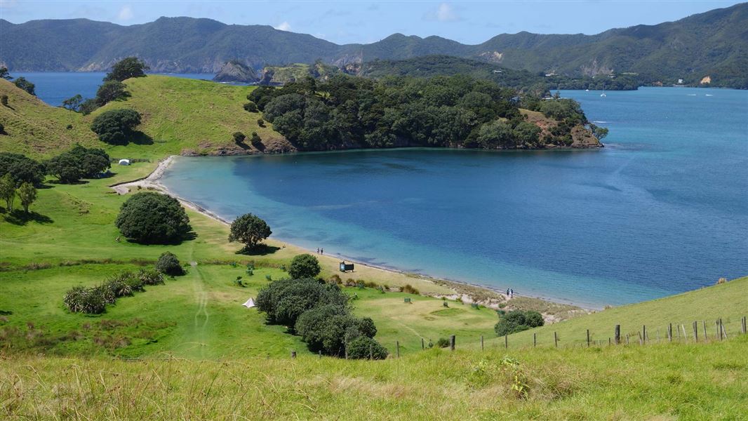
Urupukapuka Bay Campsite
Standard • Northland • 9.8 km
Urupukapuka Bay Campsite is a coastal campsite in Northland. It offers access to the beach for swimming, kayaking, and fishing, as well as nearby walking…
Non-powered/tent sites • Shower - cold • Water from tap - not treated, boil before use
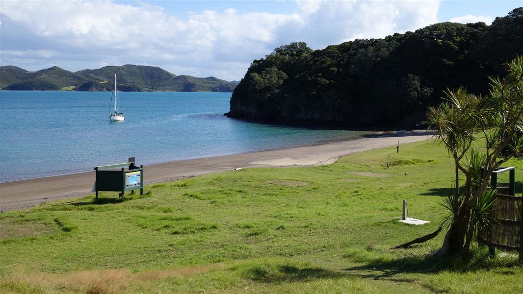
Cable Bay Campsite
Standard • Northland • 10.6 km
Cable Bay Campsite is a sheltered coastal campsite in Northland. It offers a beach setting suitable for swimming, kayaking, fishing, and exploring nearby…
Non-powered/tent sites • Shower - cold • Water from tap - not treated, boil before use
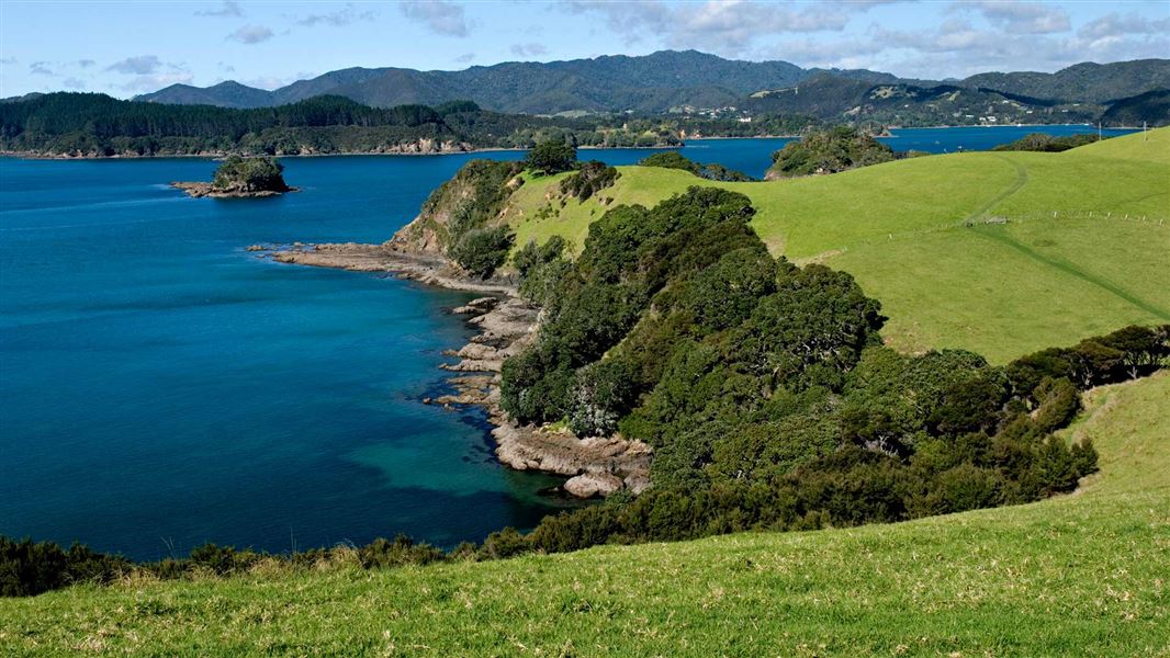
Sunset Bay Campsite
Standard • Northland • 10.8 km
Sunset Bay Campsite is a private and secluded campsite in Northland with coastal surrounds. It offers access to a beach for swimming, kayaking, and fishing, as…
Non-powered/tent sites • Water from tap - not treated, boil before use • Toilets - non-flush
Walks nearby
Contact
DOC Customer Service Centre
Pewhairangi / Bay of Islands Office, Kauaeranga Visitor Centre
Regional DOC service centre.
Notes from people who have been
No notes yet. If you have been, say what you found.
Something missing or out of date?
Closed, moved, wrong facts, or something we have missed? Travellers keep the Road Guide up to date. Tell us what you found at contribute@parkup.nz and we will check it and add it.
Ask us to take this down
A person reads every request. We do not remove a place until we have checked it.
Sources
- DOC Huts · CC BY 4.0Data sourced from the Department of Conservation (DOC), New Zealand.
- OpenStreetMap Huts · ODbL (Open Database License)Contains information from OpenStreetMap, made available under the ODbL.
- DOC Huts (API) · CC BY 4.0Crown Copyright: Department of Conservation Te Papa Atawhai. Data sourced from the DOC Developer Portal (api.doc.govt.nz).