Cape Brett Track
WalkNorthland
- Grade
- Advanced
- Walking time
- 8 hr
- Distance
- 16.3 km
- Dogs
- No dogs
Access: read before you go
This track crosses private land for the first 10 km. Respect the landowner's property: stay on the marked track leave gates as closed.
Source: DOC Te Papa Atawhai.
Getting there
We have not checked a road end or car park for this place yet, so we do not give driving directions to it. Check how to get there before you go. Some routes cross private land and need the landowner's permission.
How to get there, on doc.govt.nzThe track begins from Oke Bay in Rawhiti. Access is also available from the landing at Deep Water Cove. Take care on steps leading to the beach at Oke Bay on Cape Brett Track. The steps have been eroded.
Cape Brett is 30 km north east of Russell. You can get to Cape Brett and Whangamumu via Rawhiti Road.
From Russell, take the Russell-Whakapara Road for 13.8 km and turning off at Kempthorne Road. Follow the road through Parekura Bay, continuing on to Manawaora Road. At the top of the road, turn left onto Rawhiti Road.
From Whangarei travel north turning off SH1 at Whakapara. Follow the Russell Road until you get to Rawhiti Road.
To access Cape Brett Reserve by sea, land at either Deep Water Cove or at Cape Brett. A water taxi is available from Russell, Paihia and Rawhiti.
You may need to go through Te Pēwhairangi (Bay of Islands) Marine Mammal Sanctuary. Before you go check the restrictions for this marine mammal sanctuary.
Access by land
From Russell, take the Russell-Whakapara Road for 13.8 km and turning off at Kempthorne Road. Follow the road through Parekura Bay, continuing on to Manawaora Road. At the top of the road, turn left onto Rawhiti Road. From Whangarei travel north turning off SH1 at Whakapara. Follow the Russell Road until you get to Rawhiti Road.
Access by boat
To access Cape Brett Reserve by sea, land at either Deep Water Cove or at Cape Brett. A water taxi is available from Russell, Paihia and Rawhiti. You may need to go through Te Pēwhairangi (Bay of Islands) Marine Mammal Sanctuary. Before you go check the restrictions for this marine mammal sanctuary .
Source: DOC Te Papa Atawhai.
Map
Map data © OpenStreetMap contributors. Topo map: LINZ, CC BY 4.0. 35.18511° S, 174.32335° E
About this place
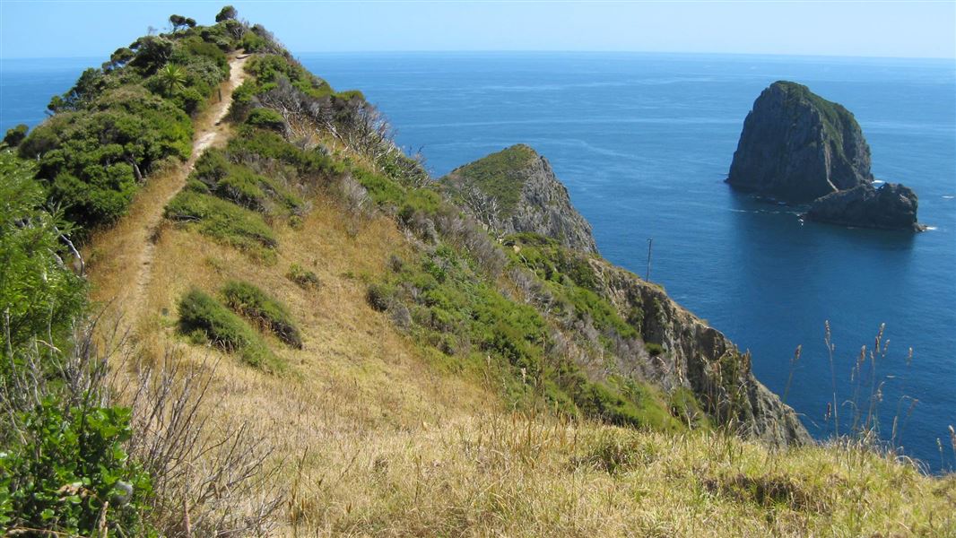
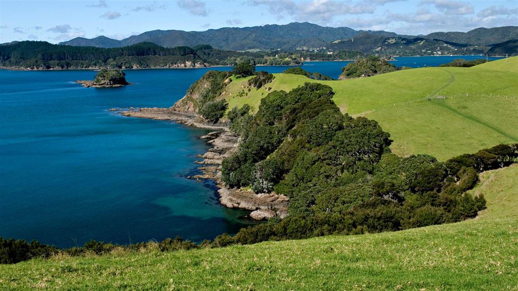
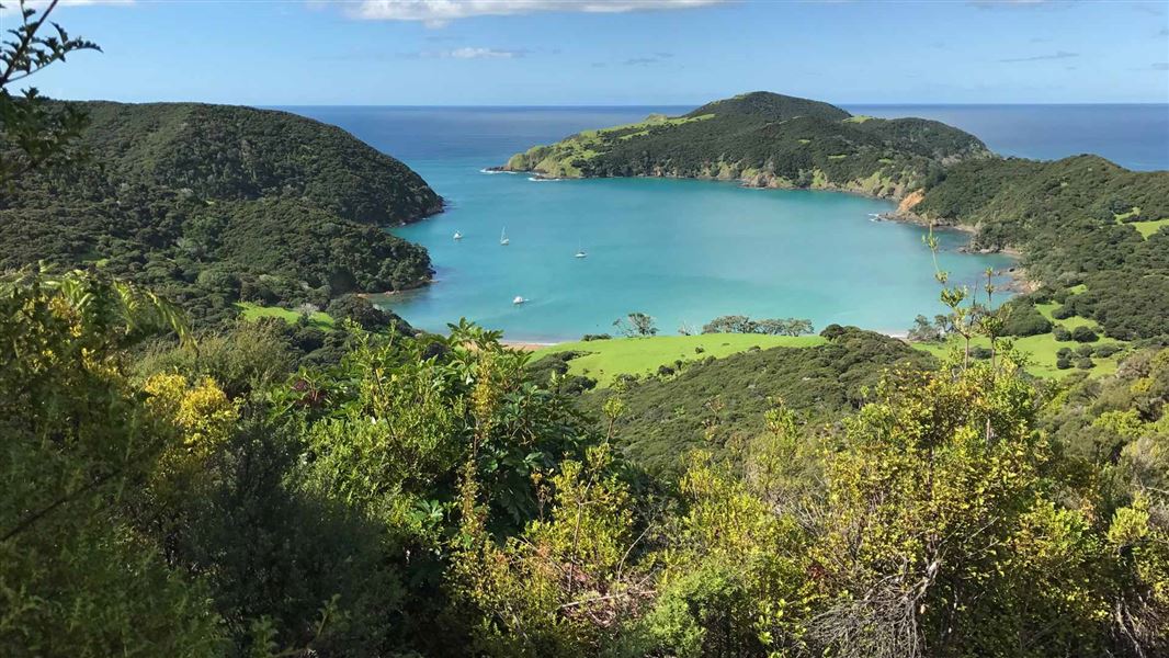
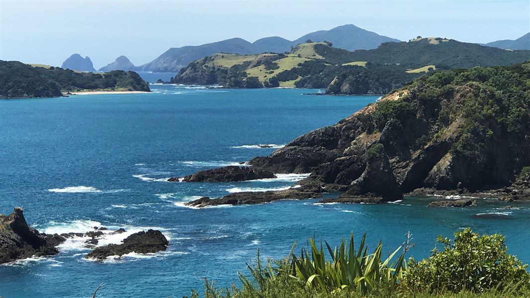
The Cape Brett Track traverses rugged terrain for 16 km through native and regenerating bush. Expect dramatic coastal views; steep cliffs and drop-offs to the side of the track are a feature.
The route
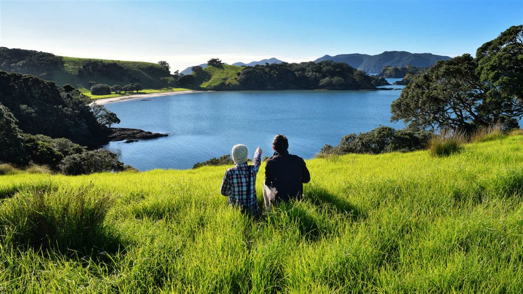
The Cape Brett Track has been a cooperative venture between the Te Rawhiti 3B2 Ahu Whenua Trust and the Department of Conservation since 2001. The first 10 km of the track passes over private land owned by the Te Rawhiti 3B2 Ahu Whenua Trust. This section of the track is run and maintained by the Trust’s agent, Cape Brett Walkways Ltd. The track runs along the ridge through the Trust’s private land before reaching the 6 km long public conservation land section from Deep Water Cove to the Cape Brett Hutt. You can take a side-track (1 hr return) down to Deep Water Cove, where you can enjoy a refreshing swim and snorkel. From the forested ridges, you can take in spectacular coastal scenery. Towards the Cape, walking alongside the dramatic cliff-face, you can see abundant fish and bird life below - often dolphins and seals will come close to shore. From Deep Water Cove onwards, the track gets more challenging and becomes quite exposed with steep drop-offs to the sea below. Although it is not that far to the lighthouse, it will take you about 2-3 hours, and can be quite tiring. The effort is rewarded with outstanding views of the outer Bay of Islands, north to the Cavalli Islands and south to Whangaruru and beyond to the Poor Knights Islands. Along the track, you will come across an electric fence crossing the width of the peninsula. This was constructed in 1995 to reduce the impact of possums on the coastal bush. Ensure the gate is closed. Mountain biking is not permitted as the track is unsuitable for this.
Cape Brett Track virtual guide
Watch a NZ Mountain Safety Council video.
Source: DOC Te Papa Atawhai.
Know before you go
Fall risk
There is a risk of falling on sections of this track due to cliffs. Keep to the marked track and avoid cliff edges. Keep children within sight and do not let them near edges.
Safety
To walk this 16 km undulating track, you need to: be self-sufficient and have have a high degree of fitness and experience remain on the track at all times do not take shortcuts have 8 hours of daylight one way to complete the journey to the old lighthouse settlement wear tramping/hiking boots, especially if the track is wet take plenty of water to drink during the tramp carry a water treatment system if you are staying at the Cape Brett hut as the quality of drinking water cannot be guaranteed during summer give way to other people when on narrow sections of the track.
Beware of tides
The entrance to Cape Brett walking track is tidal (from Oke bay). Monitor Bay of islands tide movements and avoid high tide times and northerly swell conditions before you enter/exit. If you attempt to cross within an hour either-side of high tide, expect to get wet, and if carrying backpacks, caution must be taken. This beach crossing may become dangerous in northerly winds that generate large waves.
Private property and permissions
This track crosses private land for the first 10 km. Respect the landowner's property: stay on the marked track leave gates as closed.
Parking
Parking is available for a small fee at: 253 Rawhiti Road, Kaingahoa (Julie Witehira) Oke Bay Lodge, 147 Rawhiti Road at the start of the track Kaingahoa Marae, 243 Rawhiti Road, Rawhiti Hartwells, Kaimarama Bay.
Source: DOC Te Papa Atawhai.
Nearby stops
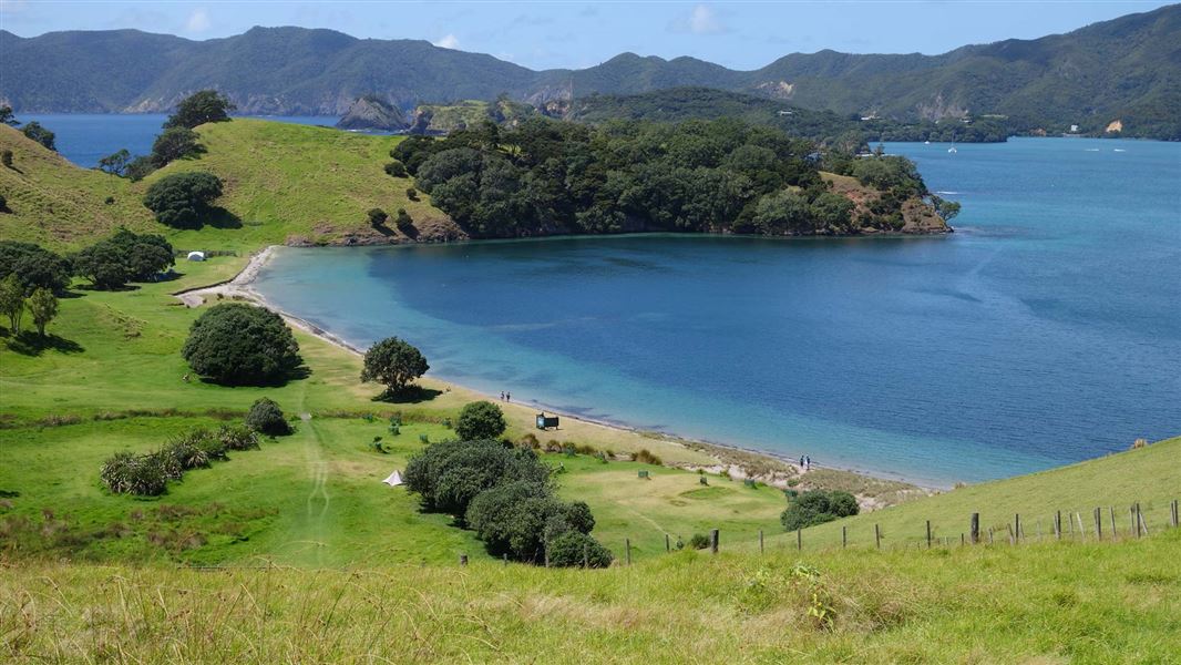
Urupukapuka Bay Campsite
Standard • Northland • 8.5 km
Urupukapuka Bay Campsite is a coastal campsite in Northland. It offers access to the beach for swimming, kayaking, and fishing, as well as nearby walking…
Non-powered/tent sites • Shower - cold • Water from tap - not treated, boil before use
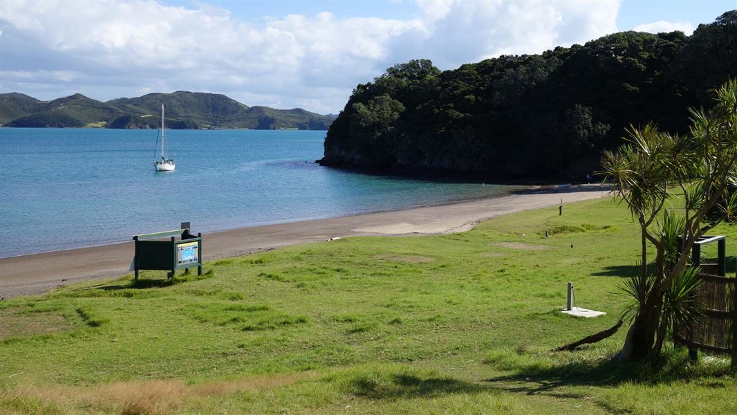
Cable Bay Campsite
Standard • Northland • 9.3 km
Cable Bay Campsite is a sheltered coastal campsite in Northland. It offers a beach setting suitable for swimming, kayaking, fishing, and exploring nearby…
Non-powered/tent sites • Shower - cold • Water from tap - not treated, boil before use
Sunset Bay Campsite
Standard • Northland • 9.5 km
Sunset Bay Campsite is a private and secluded campsite in Northland with coastal surrounds. It offers access to a beach for swimming, kayaking, and fishing, as…
Non-powered/tent sites • Water from tap - not treated, boil before use • Toilets - non-flush
Walks nearby
Notes from people who have been
No notes yet. If you have been, say what you found.
Something missing or out of date?
Closed, moved, wrong facts, or something we have missed? Travellers keep the Road Guide up to date. Tell us what you found at contribute@parkup.nz and we will check it and add it.
Ask us to take this down
A person reads every request. We do not remove a place until we have checked it.
Sources
- DOC Tracks (API) · CC BY 4.0Crown Copyright: Department of Conservation Te Papa Atawhai. Data sourced from the DOC Developer Portal (api.doc.govt.nz).
- OpenStreetMap Trails · ODbL (Open Database License)Contains information from OpenStreetMap, made available under the ODbL.