Waipapa River Track
WalkNorthland
- Grade
- Advanced
- Walking time
- 2 days
- Dogs
- DOC permit only
Getting there
We have not checked a road end or car park for this place yet, so we do not give driving directions to it. Check how to get there before you go. Some routes cross private land and need the landowner's permission.
How to get there, on doc.govt.nzThe Waipapa River Track is in Puketī Kauri Forest. If travelling south on State Highway 10, the forest is signposted 2.4 km south of Kaeo. If driving north on State Highway 10, 1 km north of Waipapa, turn left onto Pungaere Road and follow it for 16 km.
At the T-intersection, turn left, follow the road for about 2 km. Turn right into the Puketī Recreational Area. The Waipapa River Track starts from the Puketī Forest Headquarters near the information sign. It can also be accessed from the Forest Pools Picnic Area, as well as from the link tracks leading from the Pirau and Mokau Ridge Roads.
Source: DOC Te Papa Atawhai.
Map
Map data © OpenStreetMap contributors. Topo map: LINZ, CC BY 4.0. 35.23546° S, 173.70292° E
About this place
This scenic two-day tramp follows the Waipapa River through the heart of Puketī Forest. It is only recommended for experienced and well-equipped trampers. This track is part of Te Araroa Trail.
The route
This track is part of Te Araroa Trail . This is a scenic tramp from Puketī Recreation Area to Forest Pools through the heart of Puketī Forest. It passes through regenerating shrub land, podacarp hardwood forest and mature kauri stands and follows the Waipapa River. From the Puketī Recreation Area take the Pirau Road for approximately 9 km. Carry on along the Puketea Ridge Track . There is a three-way intersection of the Puketea Ridge Track, the Lower Waipapa River Track and the Te Araroa Trail. Taking the Lower Waipapa River Track leads to the southern side of Puketī Forest and exits the forest at Forest Pools. Taking the Te Araroa Trail will exit the Omahuta Forest near the Omahuta Kauri Sanctuary.
Source: DOC Te Papa Atawhai.
Nearby stops
Forest Pools Campsite
Northland • 4.7 km
Apple Dam Campsite
Northland • 6.2 km

Puketī Recreation Area Campsite
Standard • Northland • 8.6 km
Puketi Recreation Area Campsite sits at the eastern edge of the forest in Northland, close to kauri trees. It is a good base for day or overnight tramps, with…
BBQ • Fire pit/place for campfires (except in fire bans) • Non-powered/tent sites
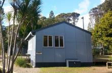
Puketī Forest Hut
Serviced • 18 bunks • Northland • 8.7 km
Puketi Forest Hut is a serviced 18-bed hut located in the Puketi Recreation Area of the Puketi-Omahuta Forest. It sits within one of the largest continuous…
Cooking • Heating • Mattresses
Two Ponga Park
Northland • 11.3 km
Walks nearby
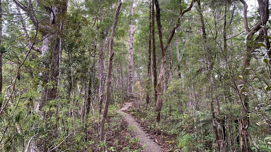
Pukatea Ridge Track
Intermediate • 2 hr • 3.8 km • 0 km away
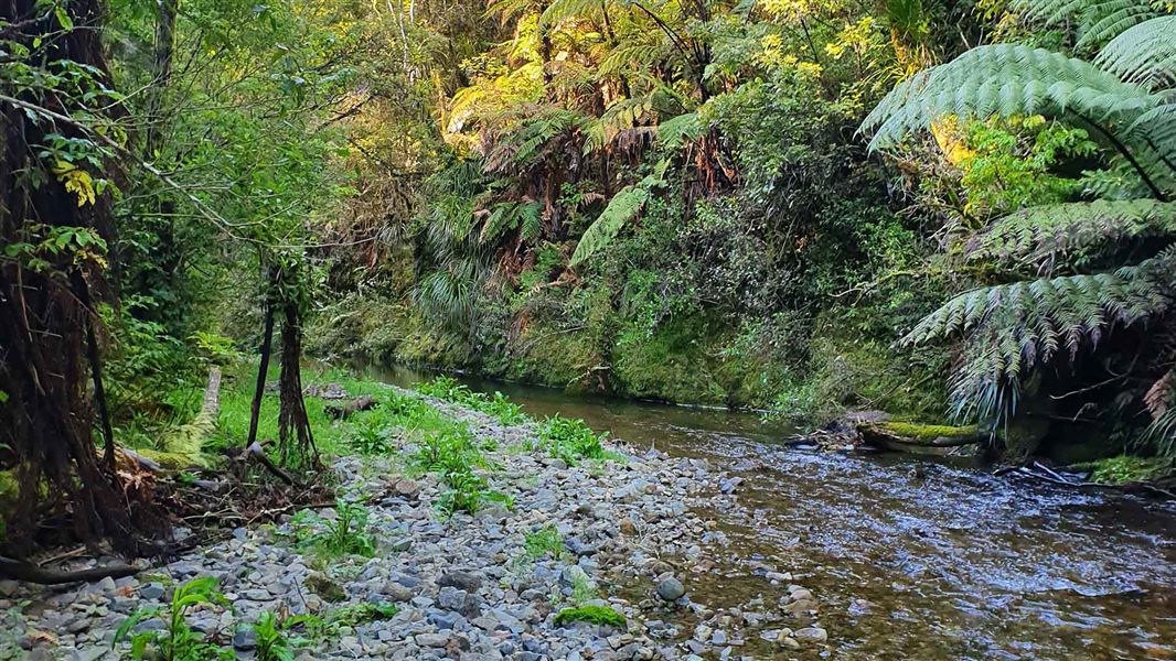
Ōmahuta and Puketī Forests Te Araroa Trail
Advanced • 8 hr • 20.8 km • 0.31 km away
Kauri Stump Walk
Easy • 10 min • 140 m • 6.8 km away
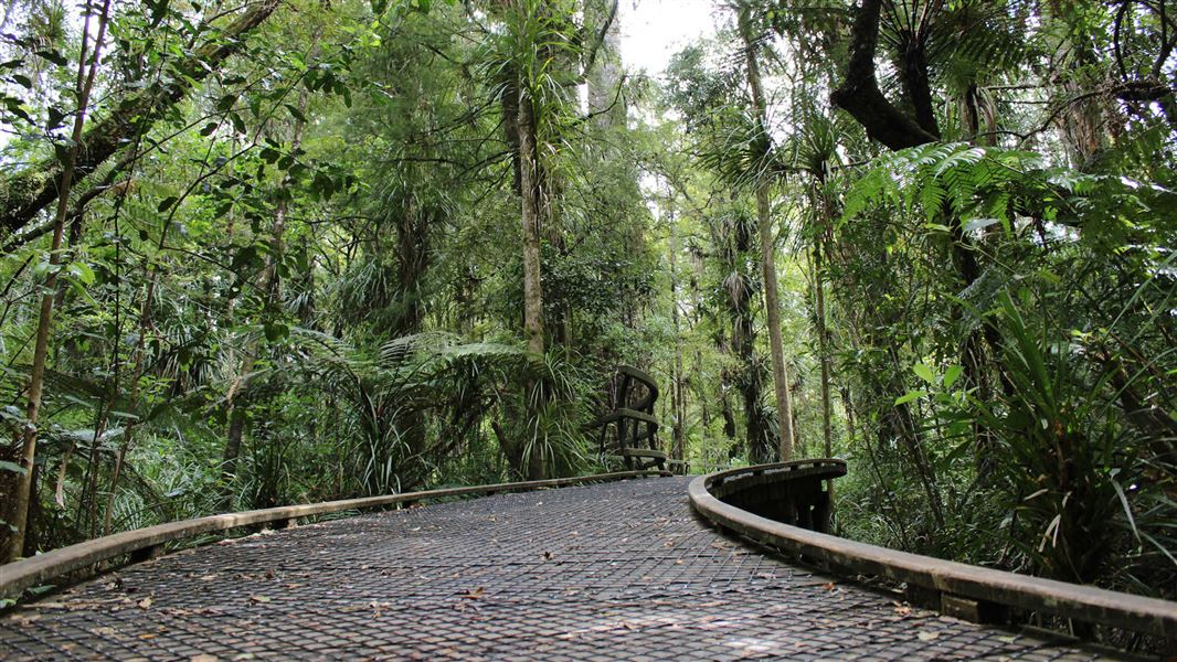
Puketī Nature Trail
Easy • 1 hr • 1.6 km • 8.52 km away
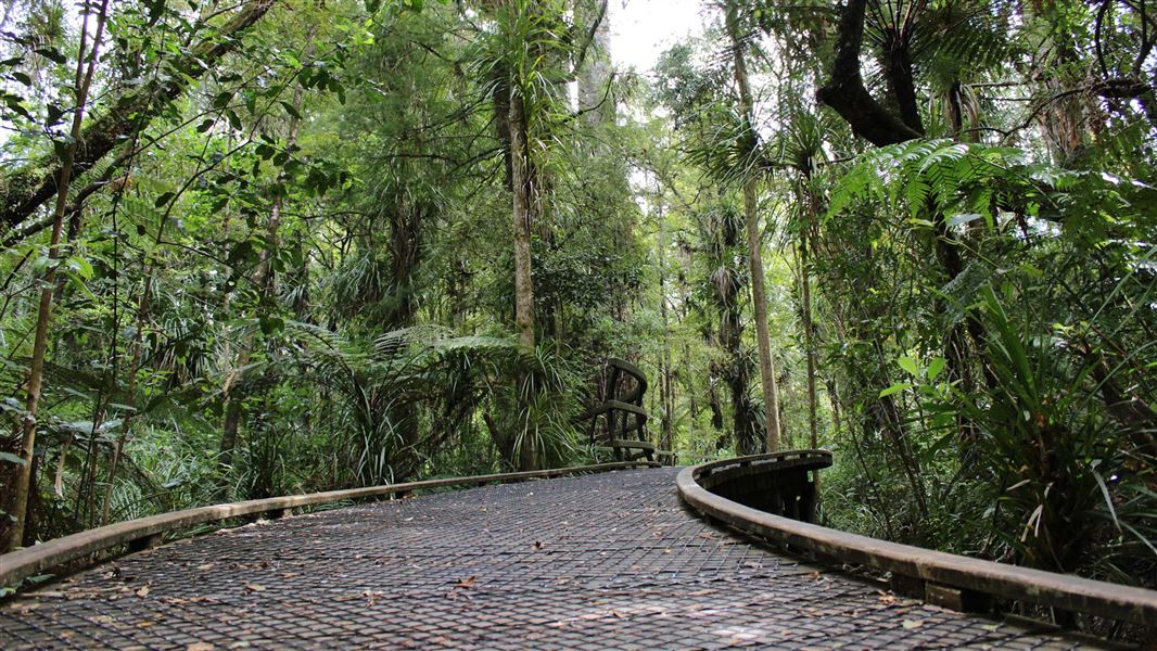
Manginangina Kauri Walk
Easiest • 15 min • 350 m • 9.7 km away
Notes from people who have been
No notes yet. If you have been, say what you found.
Something missing or out of date?
Closed, moved, wrong facts, or something we have missed? Travellers keep the Road Guide up to date. Tell us what you found at contribute@parkup.nz and we will check it and add it.
Ask us to take this down
A person reads every request. We do not remove a place until we have checked it.
Sources
- DOC Tracks (API) · CC BY 4.0Crown Copyright: Department of Conservation Te Papa Atawhai. Data sourced from the DOC Developer Portal (api.doc.govt.nz).
- OpenStreetMap Trails · ODbL (Open Database License)Contains information from OpenStreetMap, made available under the ODbL.