Ōmahuta and Puketī Forests Te Araroa Trail
WalkNorthland
- Grade
- Advanced
- Walking time
- 8 hr
- Distance
- 20.8 km
- Dogs
- DOC permit only
Getting there
We have not checked a road end or car park for this place yet, so we do not give driving directions to it. Check how to get there before you go. Some routes cross private land and need the landowner's permission.
How to get there, on doc.govt.nzFrom SH1, just south of Mangamuka town:
These roads are unsealed, rough and narrow, and are not suitable for caravans or campervans. Beehives are located beside some sections of the road.
Source: DOC Te Papa Atawhai.
Map
Map data © OpenStreetMap contributors. Topo map: LINZ, CC BY 4.0. 35.23304° S, 173.70451° E
About this place
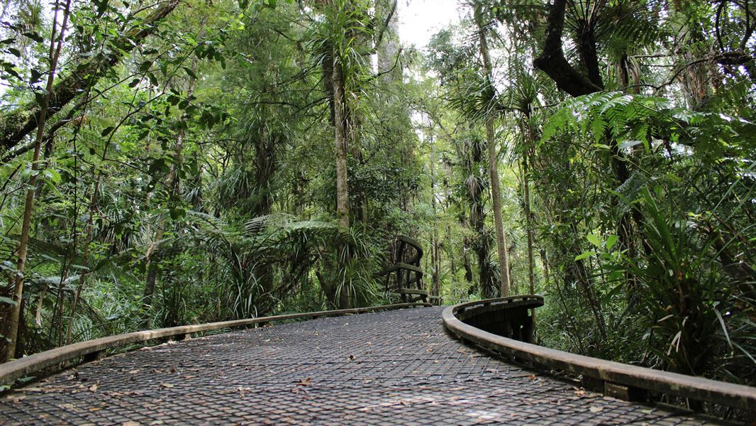
This tramping track passes through Ōmahuta and Puketī Forests. It offers views across the forest and passes large kauri trees.
The route
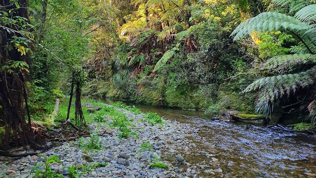
This is a challenging backcountry tramp for experienced, well-equipped trampers. You need river-crossing skills, navigation skills and good fitness. Mangapukahukahu Stream Image: ShakyIsles |CC BY 4.0 |
Blackbridge Road to Mangapukahukahu Stream/Waipapa River junction
This track starts at the end of Blackbridge Road. There is a DOC campsite on Blackbridge Road with water and a toilet. The track descends into the valley and follows Mangapukahukahu Steam through a gorge. Mangapukahukahu Steam can flood quickly. Do not take this route if the river is high or if there is forecast/recent heavy rain. At Waipapa River, cross the river to join Waiapapa River Track. There is a deep pool at the confluence of Mangapukahukahu Stream and Waipapa River. Follow markers to a shallower crossing point. Pukatea Ridge Track Image: ShakyIsles | CC BY 4.0 |
Mangapukahukahu Stream/Waipapa River junction to Pukatea Ridge Track
Follow Waipapa River Track upstream beside Waipapa River. The track is narrow and can be very slippery. Watch for the orange triangles to stay on the track. The track crosses Pukatea Stream, then becomes Pukatea Ridge Track.
Pukatea Ridge Track to Puketī Recreation Area
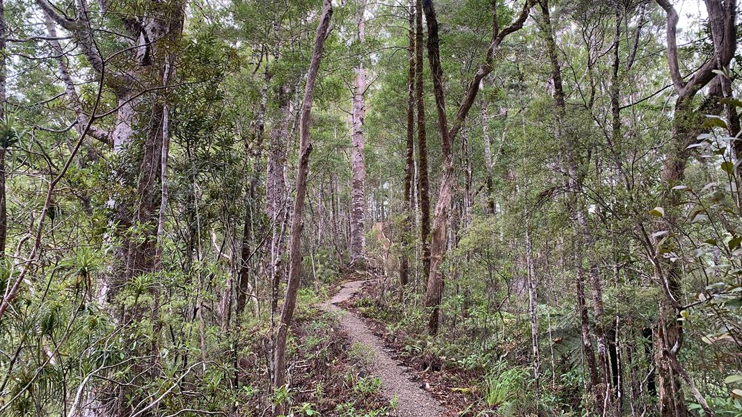
The track climbs a long series of steps and follows Pukatea Ridge through mature forest. Follow Pirau Ridge Road downhill to Puketī Recreation Area. This 4WD road is shared with cyclists and work vehicles. The road ends at Puketī Recreation Area, where there is a campsite and a hut (bookings required). There is also a 1-hour loop walk through kauri forest.
Source: DOC Te Papa Atawhai.
Know before you go
Wet weather route
This track has a section through a steep gorge and unbridged river and stream crossings. Flooding is a real risk. There is a wet weather bypass route. This is described in the Northland Te Araroa trail notes, in the Puketī Forest (Bypass) section. Check the Northland Region Rural Weather Forecast on MetService .
Track conditions
This is a backcountry tramping track. It is rough, muddy and slippery in places.
Skills and fitness
You need: River crossing skills Navigation skills Backcountry hiking and outdoors skills Good fitness To be self-sufficient and ready for delays
What to take
Pack everything on the DOC packing list , including: Warm and waterproof clothes Spare food in case you are delayed Emergency equipment, including a distress beacon, emergency shelter and first aid kit
Camp at DOC campsites
There are campsites at Blackbridge Road and Pūketi Recreation Area. Plan to stay at these campsites to help prevent the spread of kauri dieback. Only camp elsewhere in emergencies, like if you are delayed by flooded rivers.
No fires
Campfires are not allowed. This helps protect the forests from wildfires. You can use gas burners or enclosed liquid fuel stoves, but take care.
Stay safe when crossing rivers and streams
If you plan to cross unbridged rivers or side streams, know how to cross safely and be prepared for if you cannot cross. Do not cross if the river or stream is flooded, you cannot find safe entry and exit points or are unsure it’s safe. Turn back or wait for the river to drop. If in doubt, stay out. How to cross rivers safely NIWA river flow forecasts: View a video of national followed by regional river flows
Wasps
Wasps are particularly common in summer. Carry medication if you are allergic to their stings.
Source: DOC Te Papa Atawhai.
Nearby stops
Forest Pools Campsite
Northland • 5 km
Apple Dam Campsite
Northland • 6.4 km

Puketī Recreation Area Campsite
Standard • Northland • 8.4 km
Puketi Recreation Area Campsite sits at the eastern edge of the forest in Northland, close to kauri trees. It is a good base for day or overnight tramps, with…
BBQ • Fire pit/place for campfires (except in fire bans) • Non-powered/tent sites
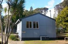
Puketī Forest Hut
Serviced • 18 bunks • Northland • 8.5 km
Puketi Forest Hut is a serviced 18-bed hut located in the Puketi Recreation Area of the Puketi-Omahuta Forest. It sits within one of the largest continuous…
Cooking • Heating • Mattresses
Two Ponga Park
Northland • 11.5 km
Walks nearby
Notes from people who have been
No notes yet. If you have been, say what you found.
Something missing or out of date?
Closed, moved, wrong facts, or something we have missed? Travellers keep the Road Guide up to date. Tell us what you found at contribute@parkup.nz and we will check it and add it.
Ask us to take this down
A person reads every request. We do not remove a place until we have checked it.
Sources
- DOC Tracks (API) · CC BY 4.0Crown Copyright: Department of Conservation Te Papa Atawhai. Data sourced from the DOC Developer Portal (api.doc.govt.nz).