Forest Pools Campsite
CampsiteNorthland
- Cost
- Free
Map
Map data © OpenStreetMap contributors. Topo map: LINZ, CC BY 4.0. 35.27561° S, 173.68531° E
Got a good photo of this place? Send it to us and we will show it with your name.
Nearby stops
Apple Dam Campsite
Northland • 6.6 km
Snow's Farm
Northland • 8.2 km
Okaihau Rail Stay
Northland • 8.7 km
Okaihau Rail Stay is a campsite located in the Northland region. The provided data does not include further details about specific facilities or amenities at…
Two Ponga Park
Northland • 9.3 km

Puketī Recreation Area Campsite
Standard • Northland • 12.1 km
Puketi Recreation Area Campsite sits at the eastern edge of the forest in Northland, close to kauri trees. It is a good base for day or overnight tramps, with…
BBQ • Fire pit/place for campfires (except in fire bans) • Non-powered/tent sites
Walks nearby
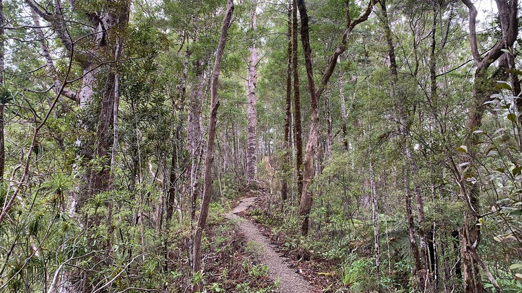
Pukatea Ridge Track
Intermediate • 2 hr • 3.8 km • 4.74 km away
Waipapa River Track
Advanced • 2 days • 4.74 km away
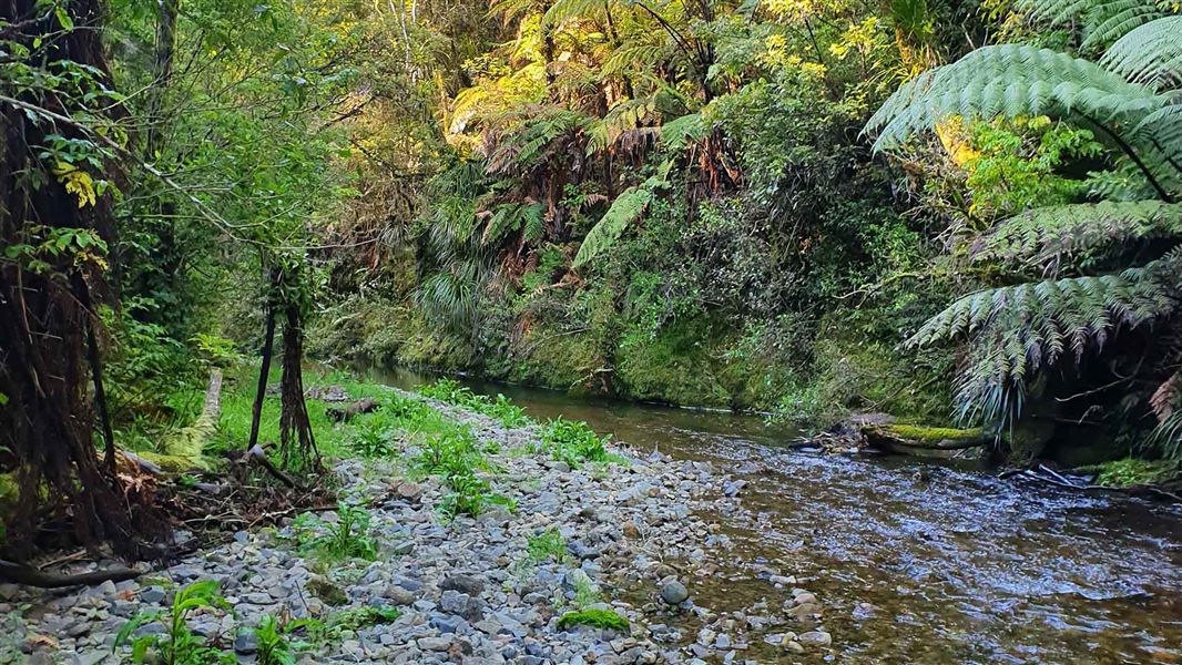
Ōmahuta and Puketī Forests Te Araroa Trail
Advanced • 8 hr • 20.8 km • 5.04 km away
Kauri Stump Walk
Easy • 10 min • 140 m • 6.92 km away
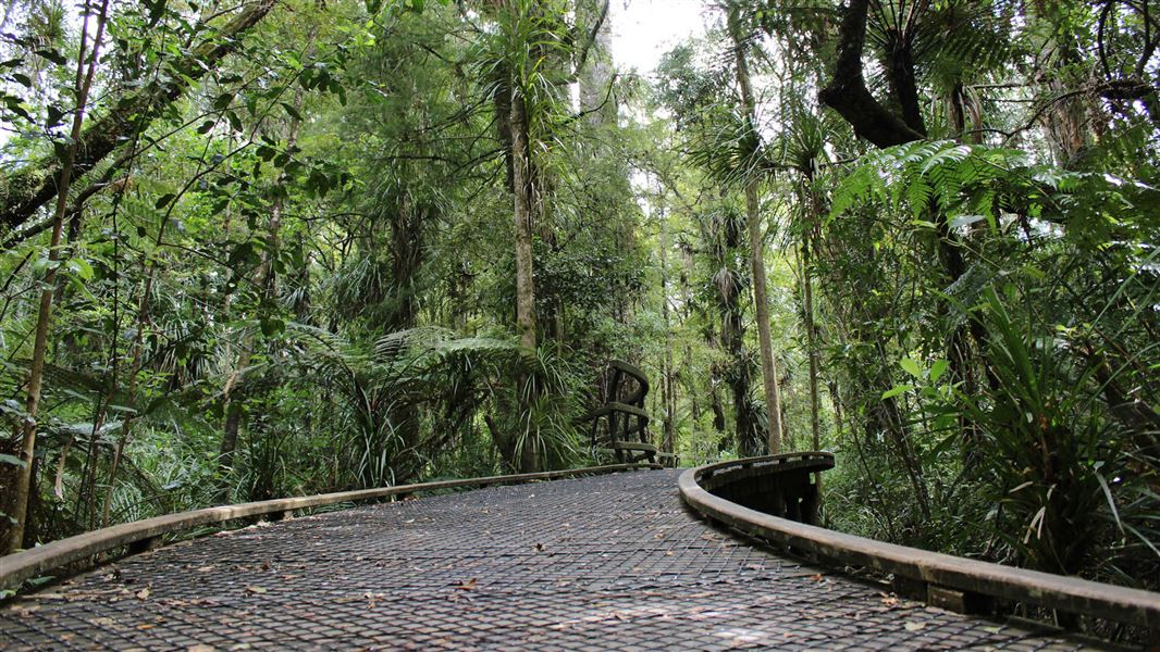
Puketī Nature Trail
Easy • 1 hr • 1.6 km • 12.05 km away
Notes from people who have been
No notes yet. If you have been, say what you found.
Something missing or out of date?
Closed, moved, wrong facts, or something we have missed? Travellers keep the Road Guide up to date. Tell us what you found at contribute@parkup.nz and we will check it and add it.
Ask us to take this down
A person reads every request. We do not remove a place until we have checked it.
Sources
- OpenStreetMap Campsites · ODbL (Open Database License)Contains information from OpenStreetMap, made available under the ODbL.